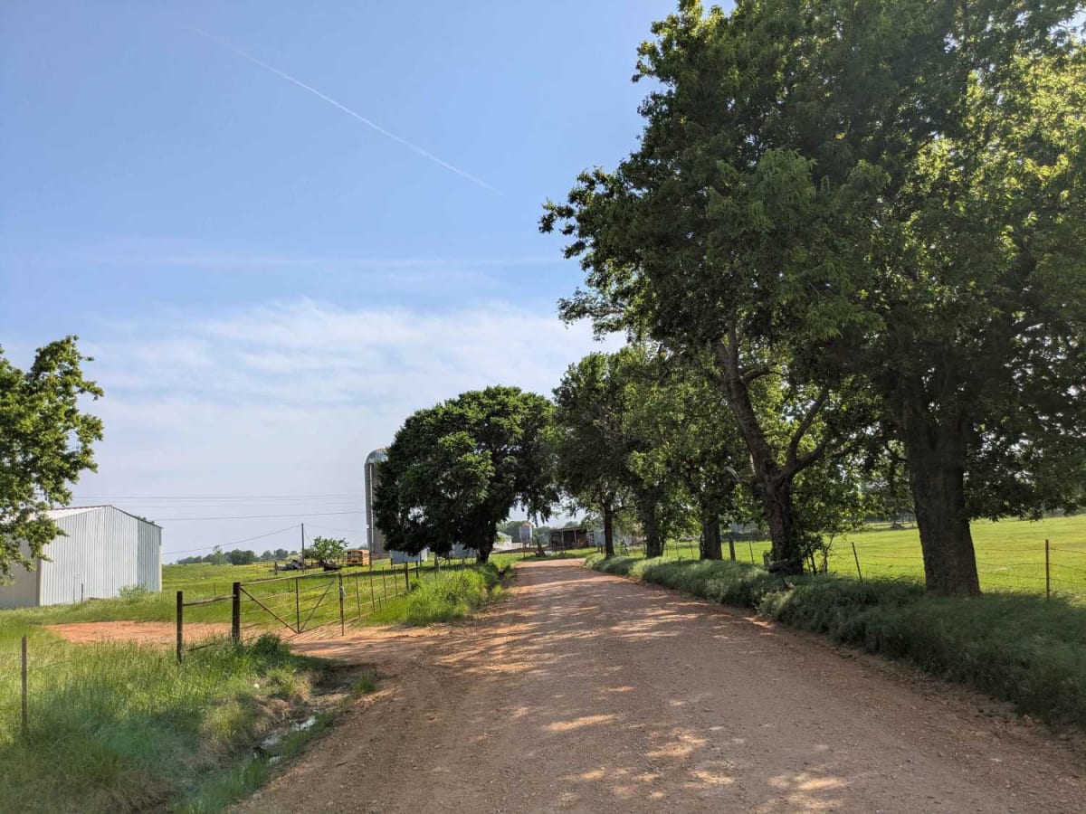
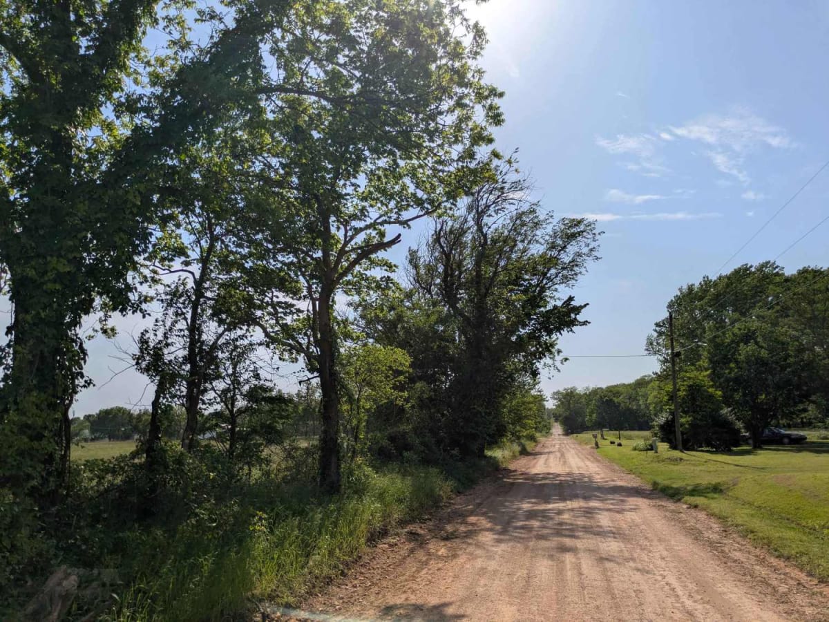
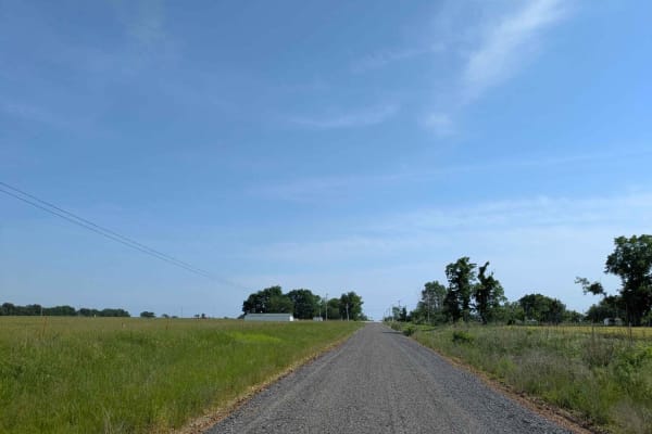
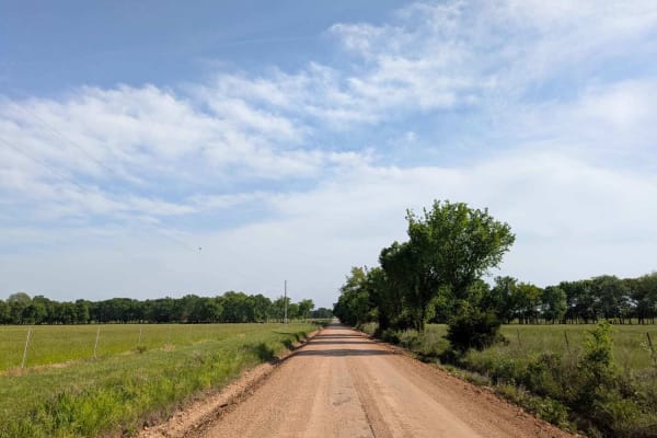
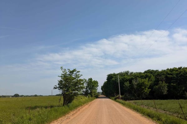
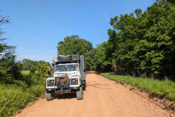
Trail Overview
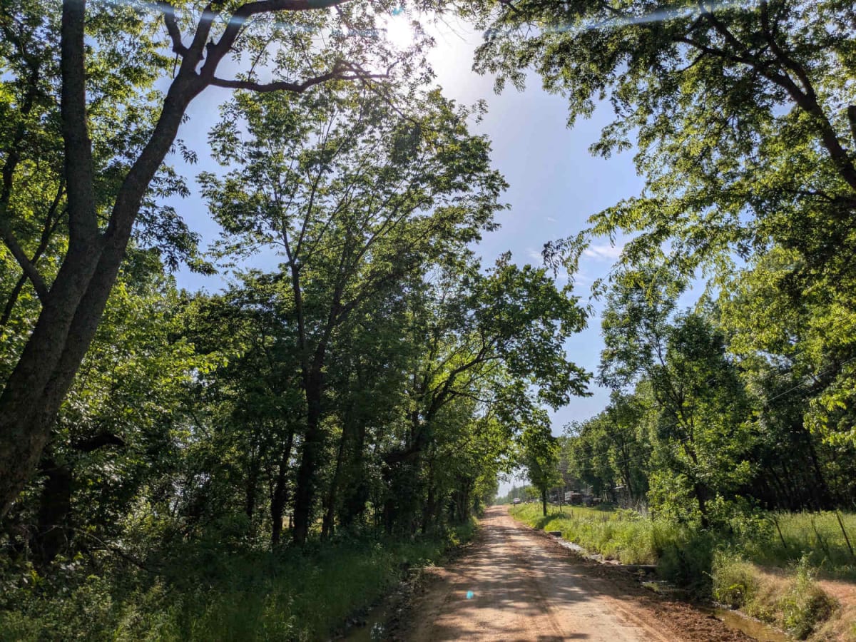
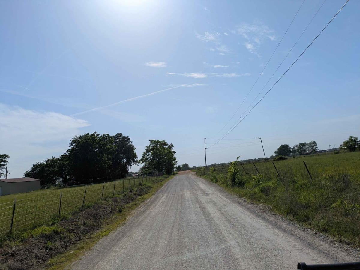
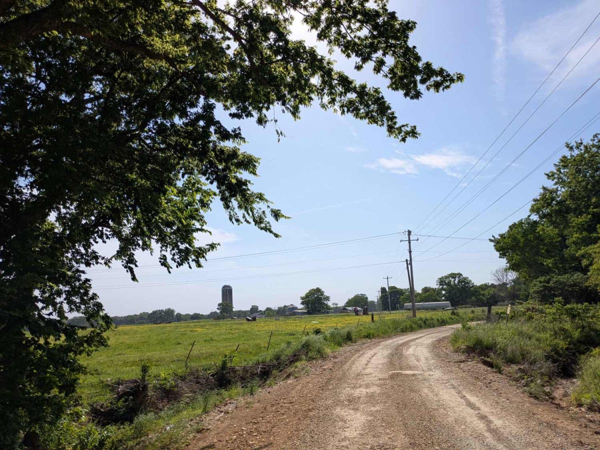
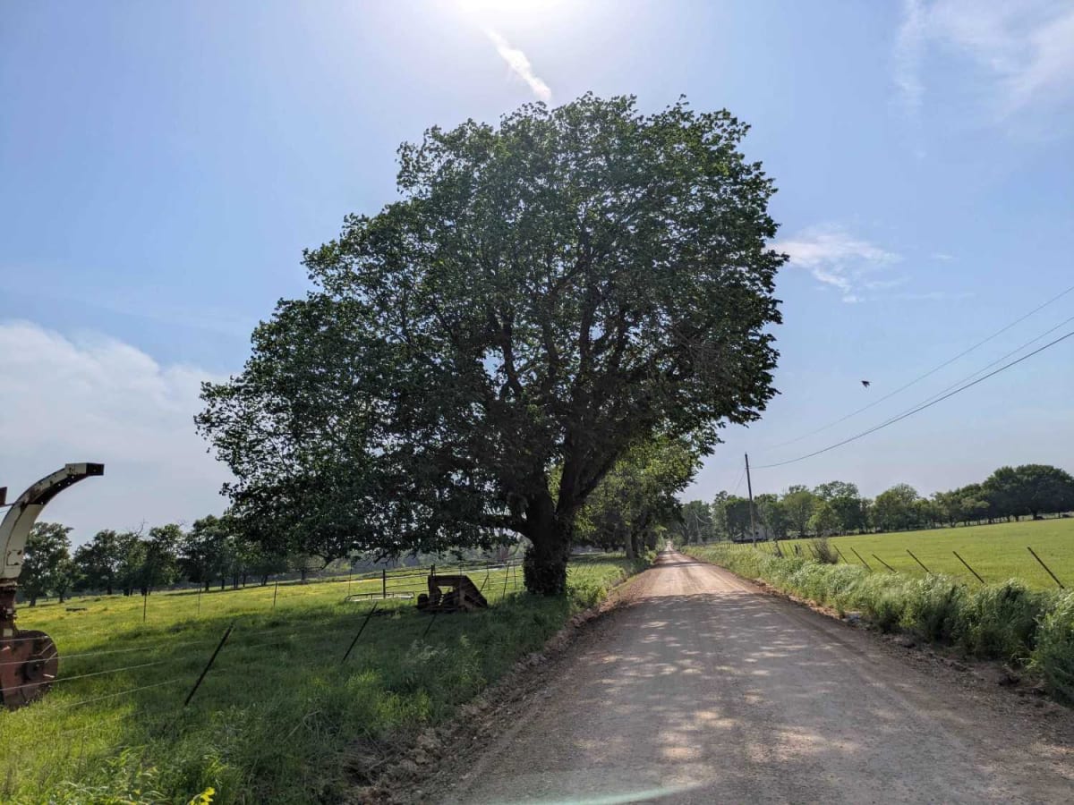
This trail is part of the Oklahoma Adventure Trail and was recently graded in May 2025, but travelers should still expect large sections with persistent potholes and uneven, bumpy stretches. Evidence of recent rainfall is visible throughout the area, with saturated ground in multiple spots that may become slippery or soft underfoot. There are no formal or dispersed campsites along the trail, and it lacks essential services such as trash disposal and access to potable water. Cell coverage remains limited throughout much of the route, so users are advised to consult the OnX app in advance for updated service information.
Difficulty
The trail is well-maintained and routinely graded to support a range of local use, from daily agricultural traffic by farmers to occasional travelers and outdoor enthusiasts passing through the area. Its good condition makes it easily accessible and reliable for all types of vehicles.
History
The Oklahoma Adventure Trail is a unique and ever-changing route that crosses through the state and allows visitors to avoid major roads and towns. Created by two Oklahomans and contributed to by numerous more, this trail is 70 percent dirt roads and 30 percent paved, and takes riders and hikers through scenic, historical, and diverse regions throughout Oklahoma.