Whitewater Community Trail

Total Miles64.6
Technical Rating
1Easy
Best TimeSpring, Summer, Fall, Winter
Trail TypeFull-Width Road
Accessible By
Open Trail Map

Trail Overview

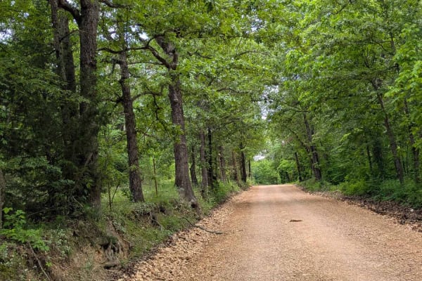
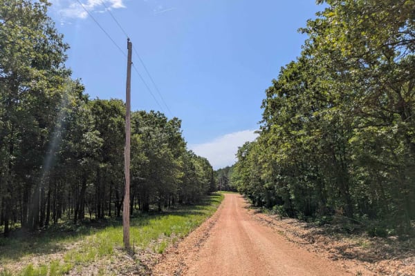
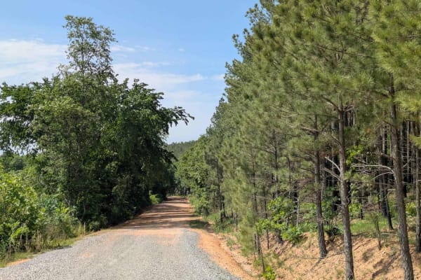
The Whitewater Community Trail is part of the GOAT (Green Country Oklahoma Adventure Tour). This trail will take you through the back county of northeast Oklahoma on a mix of smooth and rough dirt roads connected with short bits of pavement where necessary. There are 2-3 water crossings (under 12") on a typical day, with the potential for several more after some rainy weather.

Photos of Whitewater Community Trail

Difficulty

In normal weather this is an easy trail that most 2wd vehicles can easily accomplish. The road is mostly two vehicles wide with a couple spots where it narrows to one vehicle wide. Beware of flooding and swift water after a big rain.

History

This trail is part of the Green Country Oklahoma Adventure Tour (GOAT)

Technical Rating

1

Status Reports

Add Status Report
Brian
Oct 17, 2026
Open
Normal
Started off with a small mud hole. Fairly rocky in places. Some single lane trails mixed with well maintained gravel roads. Some paved connector roads. Some really nice houses. Some areas I thought I heard banjo music lol. Had a great time.
Sasha Harper
Oct 06, 2026
Open
NormalDusty
The route is quite underwhelming if you’re looking for a white most would consider a trail. It is a bunch of relatively smooth County roads chained together by State Highways. Most vehicles will easily make this.
love, dirt and diapers
Dec 07, 2025
Obstructed
Washout
Bridge closed at Oklahoma side near start.
Paul
Oct 13, 2025
2021 Triumph Scrambler 1200
Open
quiet. some mud towards the north of the route which was challenging on a motorcycle!. otherwise easy going.
Tom Watson
Oct 12, 2025
2023 Jeep Compass
Open
David Jones
May 24, 2025
2016 Chevrolet Silverado
Open
Normal
neat route, beautiful drive! thanks for taking the time to post, please make more!

Whitewater Community Trail Trail can be accessed by the following ride types:

  • Single Track
  • 60 Inch
  • High Clearance
  • Full Width

Whitewater Community Trail Map

The onX Offroad Difference

onX Offroad combines trail photos, descriptions, difficulty ratings, width restrictions, seasonality, and more in a user-friendly interface. Available on all devices, with offline access and full compatibility with CarPlay and Android Auto. Discover what you're missing today!

Open Trail Map