Trail Overview
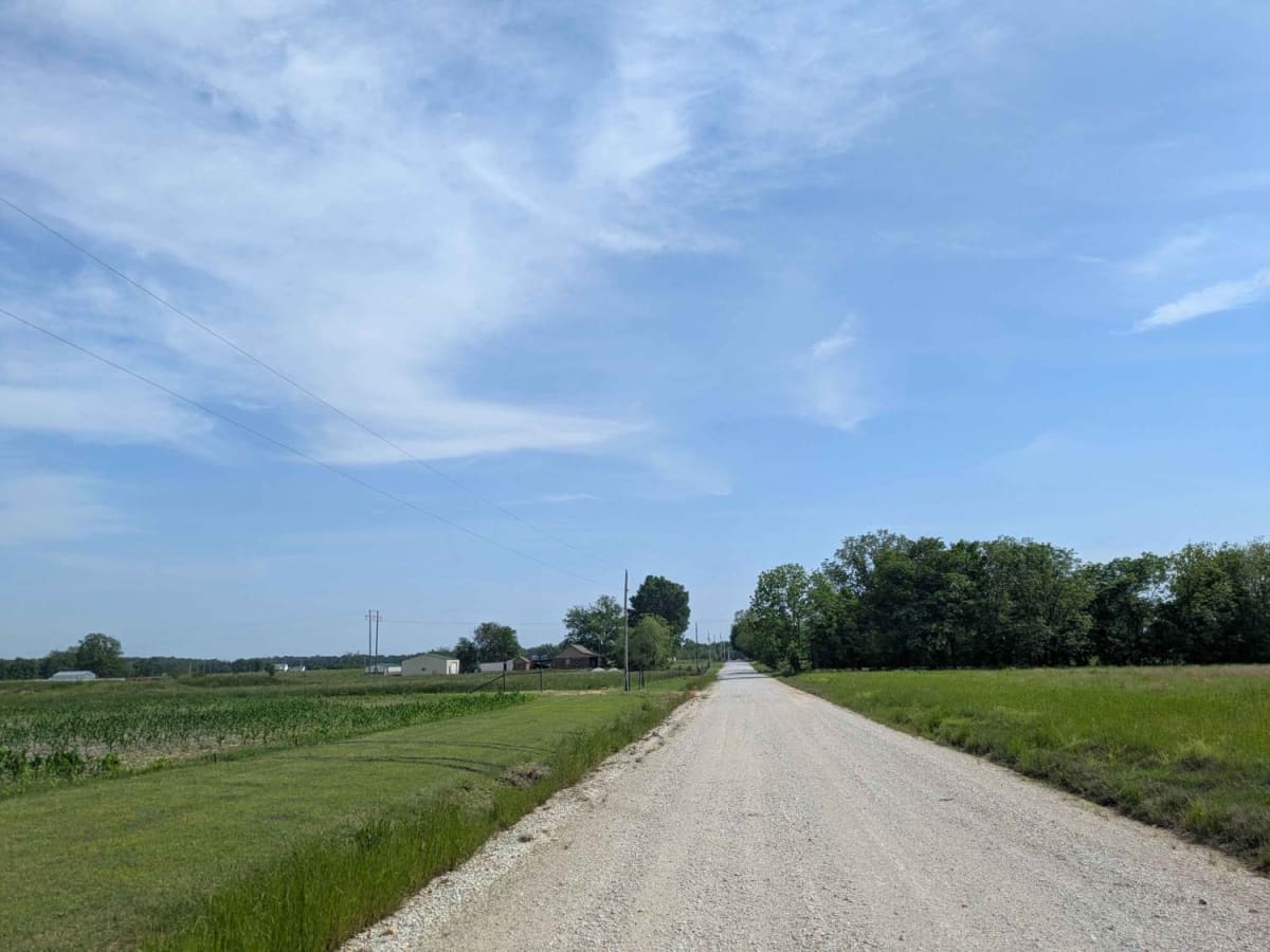
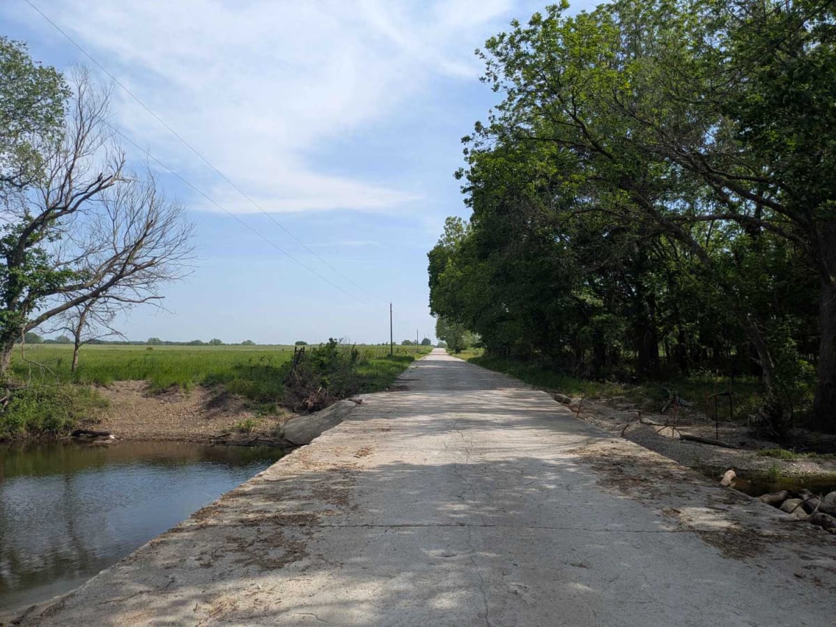
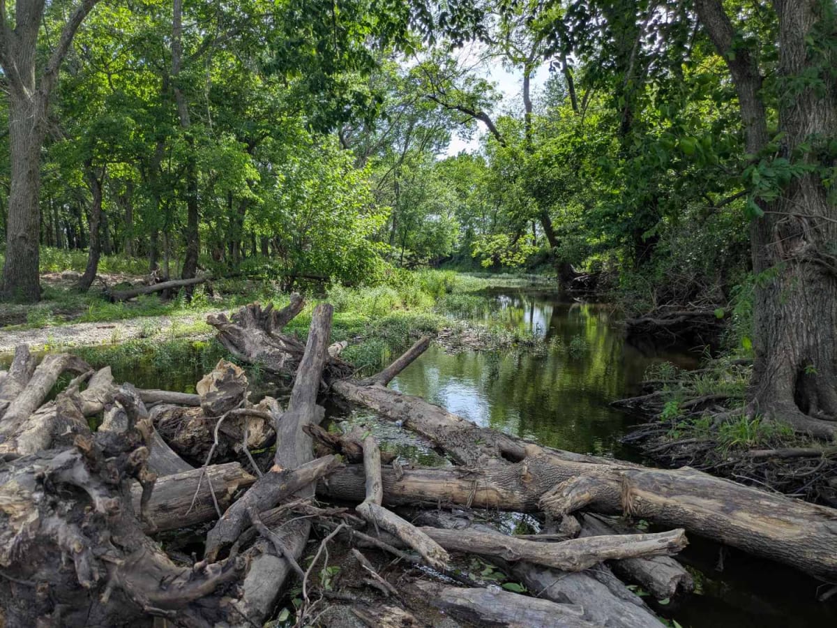
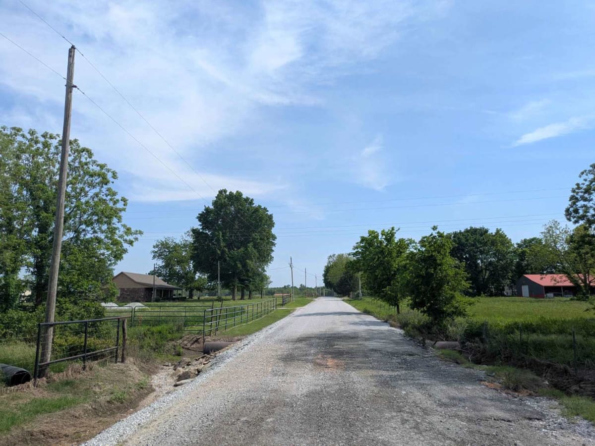
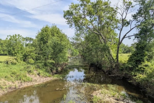
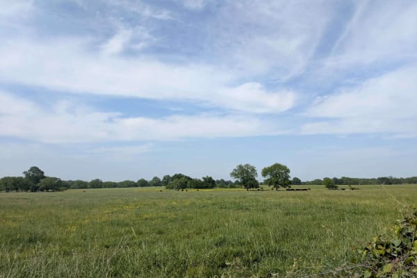
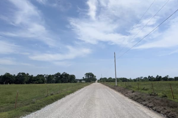
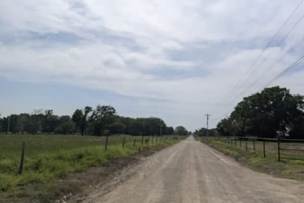
This trail is part of the Oklahoma Adventure Trail and follows a straight, well-maintained gravel road that winds through a scenic rural landscape, with a few homesteads located near either end. Along the route, the road intersects with a paved section and continues toward a broad creek, where signs of storm damage are visible. Portions of the trail are paved, and some short sections become narrow and winding. Despite its peaceful setting, the trail does not provide any formal or dispersed campsites and lacks essential services such as trash disposal and a water supply. Cell phone coverage is limited, so travelers should prepare accordingly before heading out.
Difficulty
The trail is well-maintained and routinely graded to support a range of local use, from daily agricultural traffic by farmers to occasional travelers and outdoor enthusiasts passing through the area. Its good condition makes it easily accessible and reliable for all types of vehicles.
History
The Oklahoma Adventure Trail is a unique and ever-changing route that crosses through the state and allows visitors to avoid major roads and towns. Created by two Oklahomans and contributed to by numerous more, this trail is 70 percent dirt roads and 30 percent paved, and takes riders and hikers through scenic, historical, and diverse regions throughout Oklahoma.