
Beginner Off-Road Trails
Near Burnham, Pennsylvania
Explore All Beginner Trails Near Burnham, Pennsylvania
Beginner Off-Road Trails Near Burnham, Pennsylvania
Discover the best beginner-friendly off-road trails near you. These easier, lower-rated trails are a great place to start — browse trail maps, check difficulty ratings, and find your next adventure.
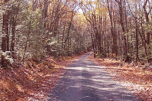
Coopers Gap Road
This trail is an in-and-out trail leading to the 332 Highway. The trail is a typical Graded Gravel road within the Rothrock State Forest. This trail has some mild hills, with the last third of the trail having a shelf road. The trail is easily accessible in the warm months of the year, and the trail...
Learn more about Coopers Gap Road
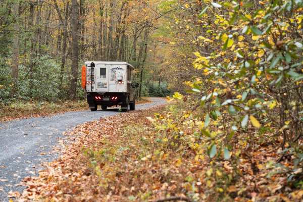
Valley Vista
The trail combines Lingle Valley Road, Conklin Road, and Kettle Road while following Lingle Creek climbing to a vista of the surrounding forest on Kettle Road. The road progressively climbs through a forest of deciduous trees, pine, mountain laurel, and rhododendron. Only highway-legal vehicles are ...
Learn more about Valley Vista
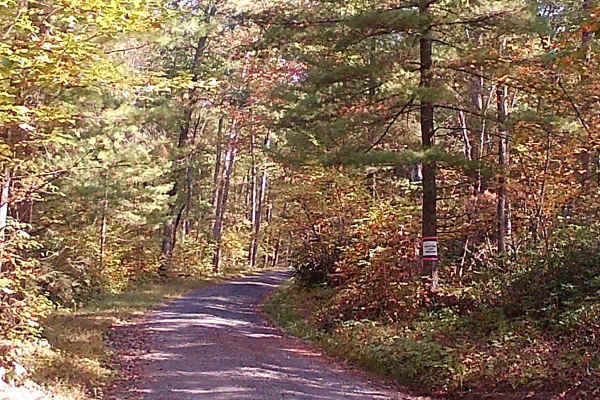
Spruce Mountain Road
This trail is a graded gravel road within Rothrock State Forest. The trail has some mild hills with winding roads. No Hiking trails off this road. It is a point-to-point type of trail. Easily accessible during warm months by car. Difficulty accessing the road in the winter months due to snow and ice...
Learn more about Spruce Mountain Road
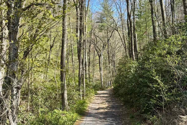
Stillhouse Hollow Rd
The PA DCNR map shows this as a drivable trail and advises the use of a high-clearance 4x4 vehicle. That's good advice. Bald Eagle State Forest is notable for having a number of more challenging drivable trails, and this forest road falls into that category. This is an out-and-back track that may no...
Learn more about Stillhouse Hollow Rd
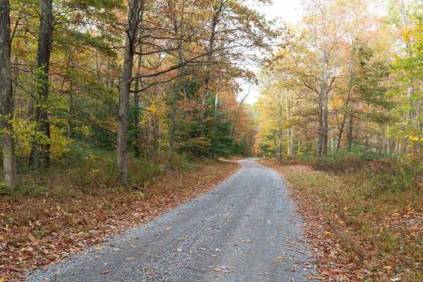
Crowfield Road
Crowfield Road is a well-maintained gravel road in Rothrock State Forest. The trail traverses a forest of deciduous trees, pine, mountain laurel, and rhododendron and passes through Roosevelt State Park. There are a few spur roads to private cabins along the trail. Only highway-legal vehicles are al...
Learn more about Crowfield Road
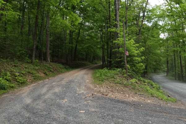
Vincent Tram Road
Vincent Tram Road is an up-and-back trail leading to a private property dead end. This trail is a typical state forest graded gravel/dirt road within Tuscarora State Forest. It comes off a main OnX Offroad mapped trail called Licking Creek Drive. This trail has an abundance of oak trees and pine tre...
Learn more about Vincent Tram Road
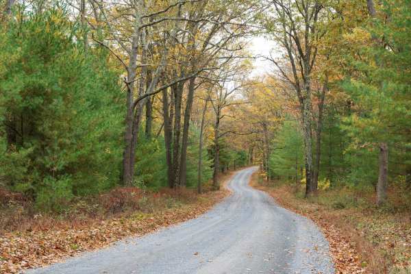
Sand Mountain Road
Sand Mountain Road is a well-maintained gravel trail through Bald Eagle State Forest. The trail starts on a paved road passing through a Boy Scout camp before turning to gravel and traversing a forest of deciduous trees, pine, mountain laurel, and rhododendron. The trail provides access to multiple ...
Learn more about Sand Mountain Road
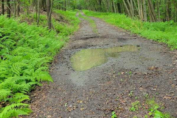
Red Gobbler
The Red Gobbler Trail is an out-and-back in Bald Eagle State Forest, Pennsylvania. This trail makes for a pretty drive through the woods and passes by several large openings in the tree line. This is a path less traveled with a strong potential for large branches or trees to block the trail. Red Gob...
Learn more about Red Gobbler
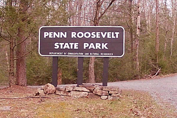
Camp Road
Camp Road is an in-and-out trail that is a typical state forest graded gravel road within Rothrock State Forest. It encompasses Penn Roosevelt State Park, with multiple hiking trails for walking and mountain biking (Oven Baked Trail, Mid-state Trail, and Broad Mountain West Loop Trail). There is a n...
Learn more about Camp Road
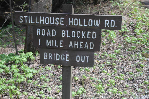
Stillhouse Hollow Trail
Stillhouse Hollow Trail is located in Bald Eagle State Forest. Presently, it is a dead-end trail, which is just over a mile, due to a bridge being closed off with no alternate water crossing. The trail begins with gravel but quickly devolves into a rutted dirt trail. There are a few mudholes along t...
Learn more about Stillhouse Hollow Trail
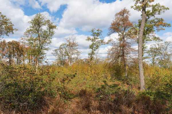
Rag Hollow Road
Rag Hollow Road is a well-maintained gravel trail through Rothrock State Forest. The trail starts at the top of Broad Mountain, descending to Greenwood Furnace State Park. The trail starts in an open area at the top of the mountain before traversing a forest of deciduous trees, pine, mountain laurel...
Learn more about Rag Hollow Road
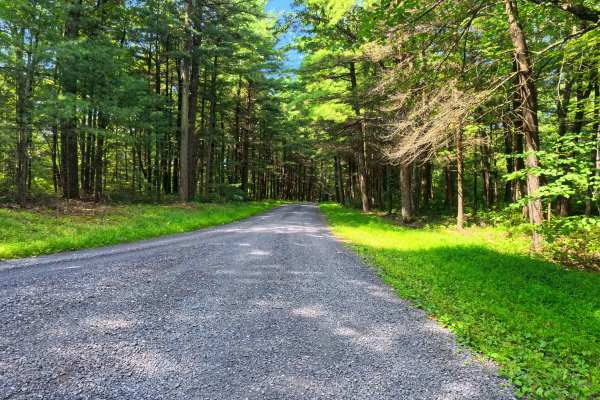
Boal Gap Road
This is a maintained gravel road offering an easy ride through the forest and follows a small creek for part of the trail. This makes for an easy road to cut across into the park from major roads. A few small pull-off areas are available.
Learn more about Boal Gap Road
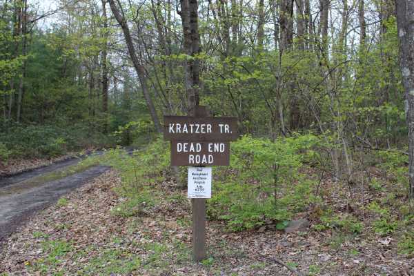
Kratzer Road
Kratzer Road is a short, dead-end trail. The main section of the trail consists of dirt, and even after a couple of days of rain, the trail was relatively dry. It has plenty of water runoffs cut into the trail and is wide enough for most 4x4 vehicles to fit through without receiving a lot of pinst...
Learn more about Kratzer Road
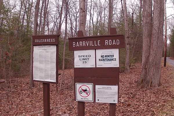
Barrville Road
Barrville Road is a typical graded gravel road within Rothrock State Forest. The trailhead is off a main paved road that is Route 305 (Greenwood Road). The Trail is gravel until the end portion turns to a paved road. It is an in-and-out trail. The trail is close to Greenwood Furnace Campground. The ...
Learn more about Barrville Road
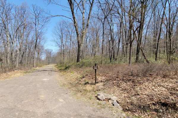
Flat Trail
The Flat Trail is an out and back Trail at Tuscarora State Forest in Pennsylvania. This road makes for a relaxing drive to get away from the gravel. The large and open camp site 008 can be reserved with a permit. There's minimal service at the Tuscarora State Forest so be sure to download offline ma...
Learn more about Flat Trail
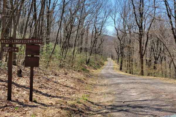
West Longfellow Trail
West Longfellow Trail is an easy 1.6-mile dirt route in Pennsylvania's Tuscarora State Forest, suitable for beginner offroaders and high-clearance four-wheel-drive vehicles. The route travels through dense woodlands, descending from 1,590 feet at the eastern junction with Longfellow Road to 1,390 fe...
Learn more about West Longfellow Trail
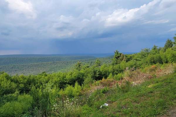
Red Ridge
The Red Ridge Trail runs East to West through Bald Eagle State Forest in Pennsylvania. The trail begins down low in the Treaster Valley and heads Northeast until the Bear Gap Picnic Area. After the picnic area, the Red Ridge Trail bears right and goes up and over Buck Mountain. There are a couple of...
Learn more about Red Ridge
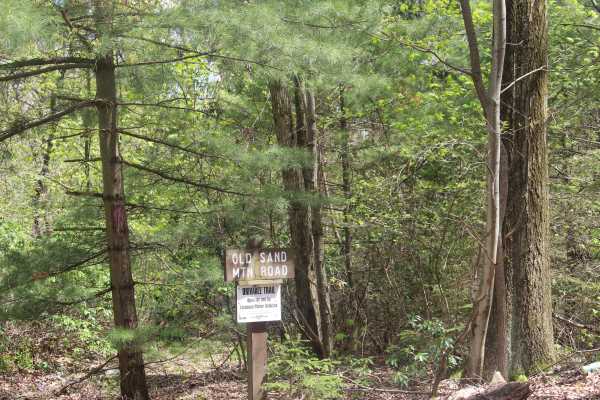
Old Sand Mountain Road
Old Sand Mountain Road is a drivable trail which dead ends at a closed deer fence access gate. The trail is wide and covered with gravel. There is no maintenance on this trail, but it is kept accessible for access by the Department of Conservation. While the trail is not technical and offers little ...
Learn more about Old Sand Mountain Road
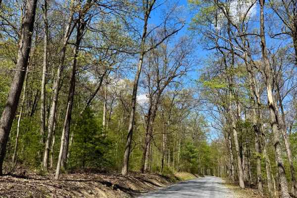
Licking Creek Dr
Licking Creek Drive is a standard PA State Forest road. It is graded gravel and is an easy, relaxing drive. This road offers access to several very nice dispersed motorized camp sites that, as with all camp sites and campgrounds in PA, must be reserved on the Reserve America app or site. It also fea...
Learn more about Licking Creek Dr
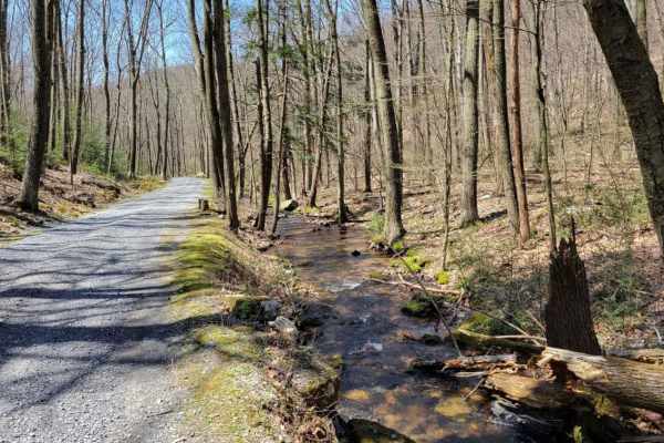
Spectacle Gap
Spectacle Gap is an inviting, scenic out-and-back drive through the Tuscarora State Forest in Pennsylvania, ideal for beginners, families, and anyone looking for a relaxed mountain climb with stunning forest views. Spanning approximately 4.4 miles, this route climbs steadily from an elevation of 997...
Learn more about Spectacle Gap
Beginner ATV trails near Burnham, Pennsylvania
Explore ATV-friendly trails near you. These trails are accessible for vehicles up to 50 inches wide, perfect for ATVs and smaller off-road machines.
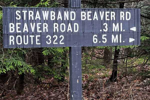
Strawband Beaver Road
This is a very well-maintained gravel, mostly one-car-width road through Moshannon State Forest. Along the route, you will find many different types of trees and wildlife. There are plenty of spots along the road to pull over. There is a lot of traffic during the hunting season.
Learn more about Strawband Beaver Road
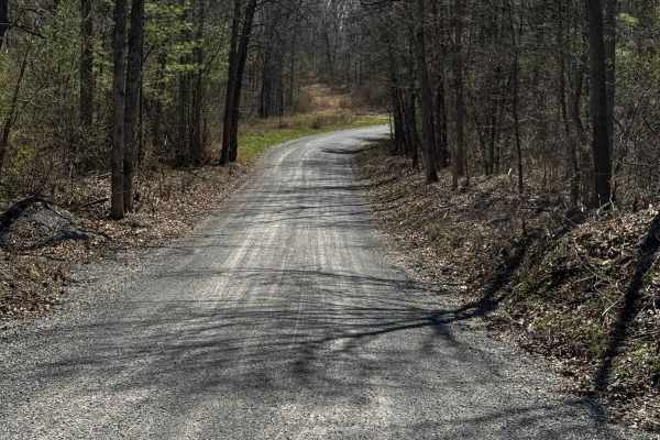
Hall Road
Hall Road is primarily a graded gravel road. It is an easy ride in the summer months; however, there is no winter maintenance. During times of rain, snow, and ice, the road can become rutted and harder to travel on. Hall Road is within Sproul State Forest. There are numerous spots to stop along this...
Learn more about Hall Road
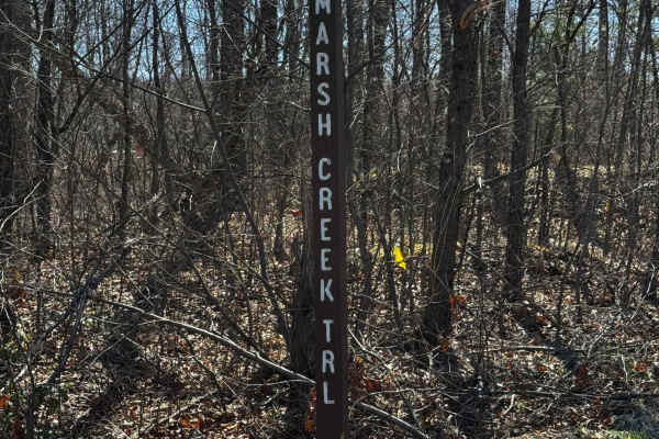
Marsh Creek Trail
Marsh Creek Trail is primarily a graded gravel road, with the southern end being dirt. It is an easy ride in the summer months; however, there is no winter maintenance. During times of rain, snow, and ice, the road can become rutted and harder to travel on. Marsh Creek Trail is within Sproul State F...
Learn more about Marsh Creek Trail
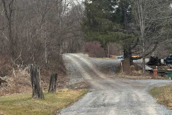
Kato Orviston Road
Kato Orviston Road is primarily a graded gravel road with some short dirt sections. It is an easy ride in the summer months; however, there is no winter maintenance. During times of rain, snow, and ice, the road will become rutted and harder to travel on. Kato Orviston Road is within Sproul State Fo...
Learn more about Kato Orviston Road
Beginner UTV/side-by-side trails near Burnham, Pennsylvania
Find UTV and side-by-side trails near you. These trails accommodate vehicles up to 60 inches wide, ideal for UTVs, side-by-sides, and wider off-road rigs.
Strawband Beaver Road
This is a very well-maintained gravel, mostly one-car-width road through Moshannon State Forest. Along the route, you will find many different types of trees and wildlife. There are plenty of spots along the road to pull over. There is a lot of traffic during the hunting season.
Learn more about Strawband Beaver Road
Hall Road
Hall Road is primarily a graded gravel road. It is an easy ride in the summer months; however, there is no winter maintenance. During times of rain, snow, and ice, the road can become rutted and harder to travel on. Hall Road is within Sproul State Forest. There are numerous spots to stop along this...
Learn more about Hall Road
Marsh Creek Trail
Marsh Creek Trail is primarily a graded gravel road, with the southern end being dirt. It is an easy ride in the summer months; however, there is no winter maintenance. During times of rain, snow, and ice, the road can become rutted and harder to travel on. Marsh Creek Trail is within Sproul State F...
Learn more about Marsh Creek Trail
Kato Orviston Road
Kato Orviston Road is primarily a graded gravel road with some short dirt sections. It is an easy ride in the summer months; however, there is no winter maintenance. During times of rain, snow, and ice, the road will become rutted and harder to travel on. Kato Orviston Road is within Sproul State Fo...
Learn more about Kato Orviston Road
The onX Offroad Difference
onX Offroad combines trail photos, descriptions, difficulty ratings, width restrictions, seasonality, and more in a user-friendly interface. Available on all devices, with offline access and full compatibility with CarPlay and Android Auto. Discover what you're missing today!
Open Trail Map