
Beginner Off-Road Trails
Near Briggs, Oklahoma
Explore All Beginner Trails Near Briggs, Oklahoma
Beginner Off-Road Trails Near Briggs, Oklahoma
Discover the best beginner-friendly off-road trails near you. These easier, lower-rated trails are a great place to start — browse trail maps, check difficulty ratings, and find your next adventure.
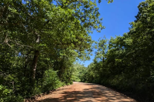
South 490
The trail is part of the Oklahoma Adventure Trail and eases you in with smooth pavement before switching to hard-packed gravel and finally loosening into a softer, if still well-kept, surface. Late-May storms have left it soggy and scarred by minor water run-offs, so keep an eye out for ruts and pud...
Learn more about South 490
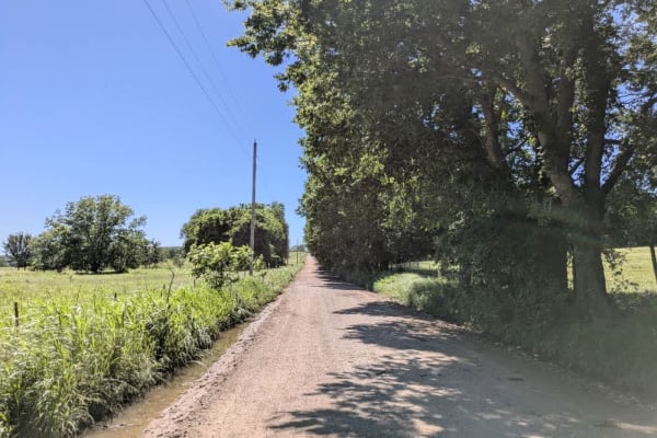
West 780
The trail is part of the Oklahoma Adventure Trail and follows a maintained gravel but with bumps and potholes in sections. In several stretches, the roadway narrows, flanked by drainage ditches that leave little margin for error, so a cautious pace is essential when the possibility of meeting oncomi...
Learn more about West 780
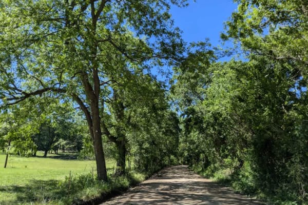
South 465
The trail is part of the Oklahoma Adventure Trail and follows a well-looked-after gravel road that still dishes out a fair share of washboard bumps and loose rattles, especially where it twists through the hills. Local pickups and farm rigs use it often, so keep your speed in check. A small country ...
Learn more about South 465
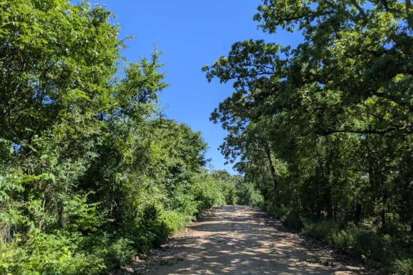
South 460
This gravel lane is part of the Oklahoma Adventure Trail and stays in decent shape overall, but it narrows where drainage ditches crowd the edges. The route rises and dips through rolling farmland, so plan on slowing for the occasional ranch truck or tractor that shares the road. When we rolled thro...
Learn more about South 460
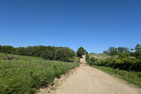
West 850
The trail is part of the Oklahoma Adventure Trail and begins as firm, medium-grade gravel but soon rattles into long, washboard stretches that keep your suspension busy before pitching into a few steep climbs and matching descents. Midway, a shallow concrete causeway lets you splash across a lazy ri...
Learn more about West 850
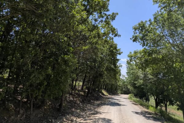
North 450
North 450 is part of the Oklahoma Adventure Trail and is a well-maintained gravel trail that winds through a mix of wooded terrain and open farmland, offering a varied and scenic drive. In the forested sections, the trail curves tightly and passes by a few less well-kept residences, while the landsc...
Learn more about North 450
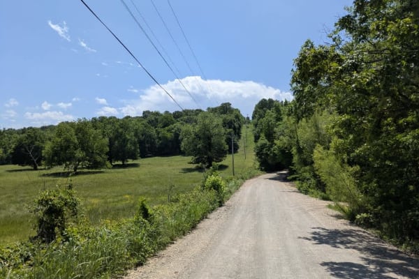
North 440 Road
North 440 Road is part of the Oklahoma Adventure Trail, and this gravel trail is generally well-maintained, winding through shaded wooded areas before opening up to wide stretches of agricultural land and a scattering of well-kept rural homesteads. While the drive is scenic, the surface is far from ...
Learn more about North 440 Road
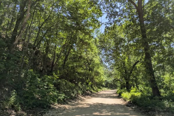
West 678 Road
This wooded trail is part of the Oklahoma Adventure Trail and begins with a wide, relatively flat section that passes near a few rural homesteads, where drivers should remain cautious of both local traffic and native wildlife, including the three-toed box turtle and ornate box turtle. As the trail a...
Learn more about West 678 Road

West 775
The trail is part of the Oklahoma Adventure Trail and begins as a remarkably smooth, straight stretch, lulling drivers into an easy rhythm before evolving into a progressively rougher track dotted with potholes and gentle bends. After fording a shallow creek, the trail threads between open fields an...
Learn more about West 775
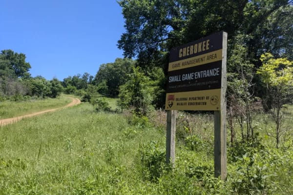
N4450
This trail is fairly well maintained and wider than many of the larger routes in the Wildlife Management Area, with a smoother gravel surface that makes for a more relaxed drive. It doesn't appear to see much traffic, and several side trails branch off, many of them narrow and overgrown. While the t...
Learn more about N4450
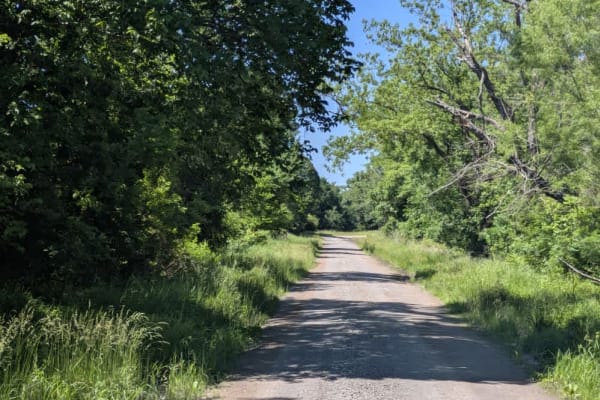
Green Leaf
This trail follows a maintained gravel road that can be a bit bumpy in spots, but it winds through the forest and makes for a peaceful, scenic drive. Several side trails split off along the way, though most are fairly narrow and overgrown. While the main route is accessible, it's best to be cautious...
Learn more about Green Leaf
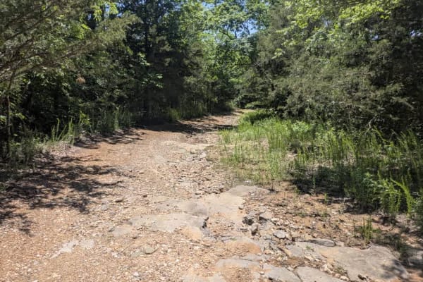
South Burnt Cabin Road - Northern Portion
The South Burnt Cabin Road runs through the Wildlife Management Area, shifting in character as you travel it. The approaches at either end are gravel, generally smooth but dotted with potholes that keep speeds low. Around the mid-point, the surface turns into soft, sticky mud on a shady incline--con...
Learn more about South Burnt Cabin Road - Northern Portion
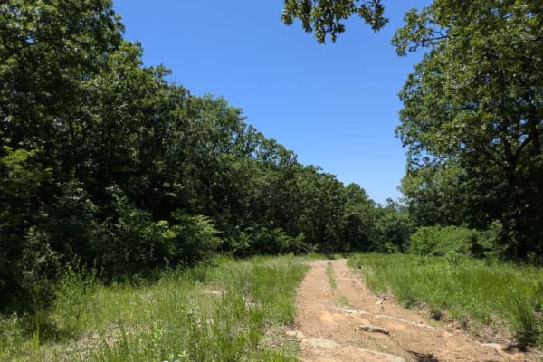
Persimmon Ridge
This long, scenic trail winds through a mix of terrain and throws just about everything at you--unmaintained gravel, rocky ridgelines, muddy sections, soft sand, and a fair share of climbs and drops. It's a bumpy ride throughout, with plenty of narrow, overgrown side tracks branching off. Wildlife i...
Learn more about Persimmon Ridge
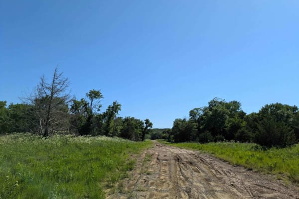
Wild Horse
This trail begins with a smooth and easy drive, but conditions change quickly. As you continue, the route becomes more challenging with frequent climbs and descents, deep mud, and large puddles scattered throughout. Progress slows the farther you go due to rough, rocky sections and increasingly unev...
Learn more about Wild Horse
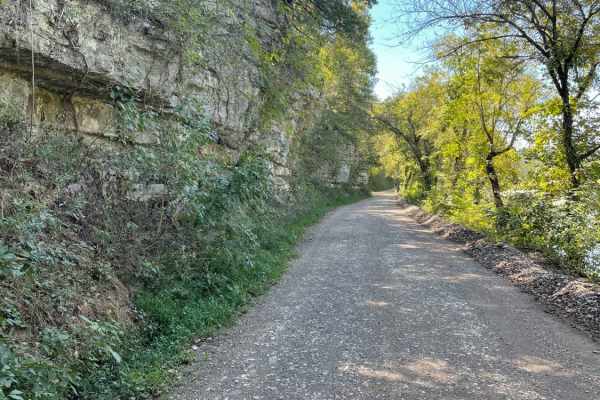
Tsalagi Trail East
The Tsalagi Trail East offers a scenic and leisurely expedition through the historic eastern reaches of the Cherokee Nation, making it perfect for beginners, families, and overland enthusiasts seeking a relaxed day on the trail. Spanning approximately 55 miles of unpaved county roads, this route win...
Learn more about Tsalagi Trail East
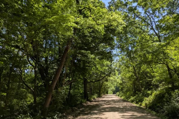
West 680
This gravel trail is part of the Oklahoma Adventure Trail and is in relatively good condition compared to others in the area, though it still presents some challenges. It winds through dense forest and follows the river for stretches, but there appear to be no accessible pull-offs for enjoying the w...
Learn more about West 680
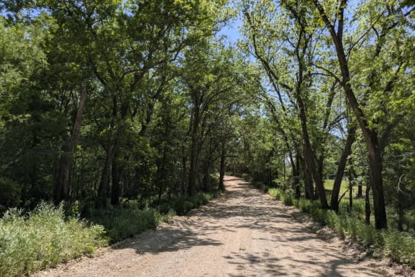
North 387
This gravel trail is part of the Oklahoma Adventure Trail and is in relatively good condition and gradually climbs into the wooded hills, eventually leading to a secluded monastery. Despite its scenic beauty, the trail is heavily used by local traffic, resulting in frequent potholes and noticeable c...
Learn more about North 387
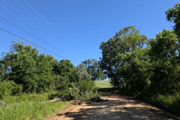
South Burnt Cabin Road - Southern Portion
The route is part of the Oklahoma Adventure Trail and meanders through rolling farmland and pockets of thick woodland that easily rank among the prettiest corners of the state, and the scenery may have you daydreaming about a little ranch of your own in rural Oklahoma. The surface is mostly solid gr...
Learn more about South Burnt Cabin Road - Southern Portion
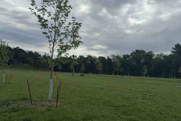
Campground Loop
This trail is just for access to the camping areas. This campground has spots for tents, boondocking, electric sites, and self-sufficient sites. Right next to the campground, you will find very nice showers and bathrooms as well as a laundry room. Multiple trails can be accessed from the campground....
Learn more about Campground Loop
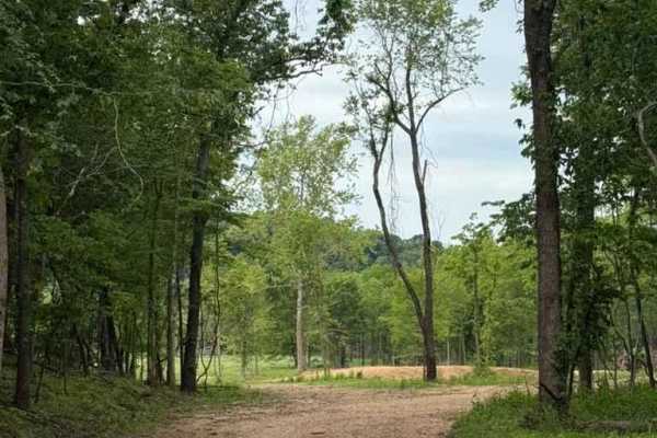
Float Parking Road
This trail is for Float Parking Access. This is still something new to the park and is currently being worked on. This trail, like most others, has loose rock and some muddy areas. You will pass some other trails along the way this and some cool sights to see.
Learn more about Float Parking Road
Beginner ATV trails near Briggs, Oklahoma
Explore ATV-friendly trails near you. These trails are accessible for vehicles up to 50 inches wide, perfect for ATVs and smaller off-road machines.
Tsalagi Trail East
The Tsalagi Trail East offers a scenic and leisurely expedition through the historic eastern reaches of the Cherokee Nation, making it perfect for beginners, families, and overland enthusiasts seeking a relaxed day on the trail. Spanning approximately 55 miles of unpaved county roads, this route win...
Learn more about Tsalagi Trail East
Campground Loop
This trail is just for access to the camping areas. This campground has spots for tents, boondocking, electric sites, and self-sufficient sites. Right next to the campground, you will find very nice showers and bathrooms as well as a laundry room. Multiple trails can be accessed from the campground....
Learn more about Campground Loop
Float Parking Road
This trail is for Float Parking Access. This is still something new to the park and is currently being worked on. This trail, like most others, has loose rock and some muddy areas. You will pass some other trails along the way this and some cool sights to see.
Learn more about Float Parking Road
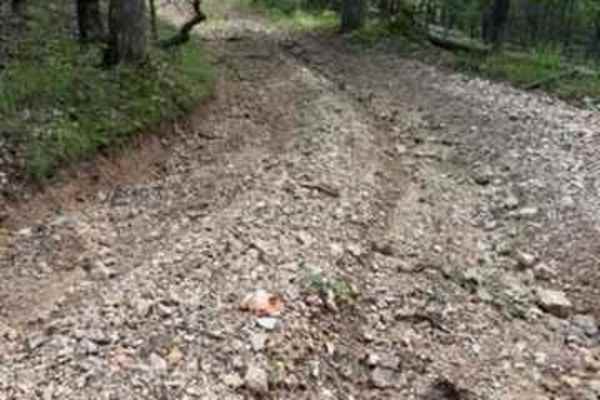
Whitley's Trail
Whitley's Trail is a connecting trail off of Brandon's Trail. This will bring you back from the South Side of the park to the Main Access Road. Whitley's Trail has some washed-out sections that can get worse over time, and towards the very end of the trail, there are some large loose rocks going dow...
Learn more about Whitley's Trail
Beginner UTV/side-by-side trails near Briggs, Oklahoma
Find UTV and side-by-side trails near you. These trails accommodate vehicles up to 60 inches wide, ideal for UTVs, side-by-sides, and wider off-road rigs.
Tsalagi Trail East
The Tsalagi Trail East offers a scenic and leisurely expedition through the historic eastern reaches of the Cherokee Nation, making it perfect for beginners, families, and overland enthusiasts seeking a relaxed day on the trail. Spanning approximately 55 miles of unpaved county roads, this route win...
Learn more about Tsalagi Trail East
Campground Loop
This trail is just for access to the camping areas. This campground has spots for tents, boondocking, electric sites, and self-sufficient sites. Right next to the campground, you will find very nice showers and bathrooms as well as a laundry room. Multiple trails can be accessed from the campground....
Learn more about Campground Loop
Float Parking Road
This trail is for Float Parking Access. This is still something new to the park and is currently being worked on. This trail, like most others, has loose rock and some muddy areas. You will pass some other trails along the way this and some cool sights to see.
Learn more about Float Parking Road
Whitley's Trail
Whitley's Trail is a connecting trail off of Brandon's Trail. This will bring you back from the South Side of the park to the Main Access Road. Whitley's Trail has some washed-out sections that can get worse over time, and towards the very end of the trail, there are some large loose rocks going dow...
Learn more about Whitley's Trail
The onX Offroad Difference
onX Offroad combines trail photos, descriptions, difficulty ratings, width restrictions, seasonality, and more in a user-friendly interface. Available on all devices, with offline access and full compatibility with CarPlay and Android Auto. Discover what you're missing today!
Open Trail Map