Trail Overview
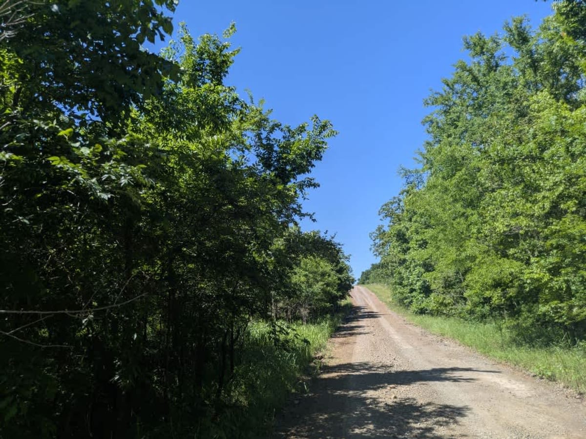
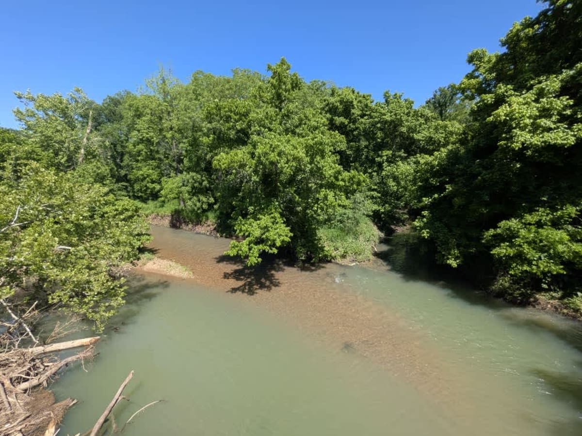
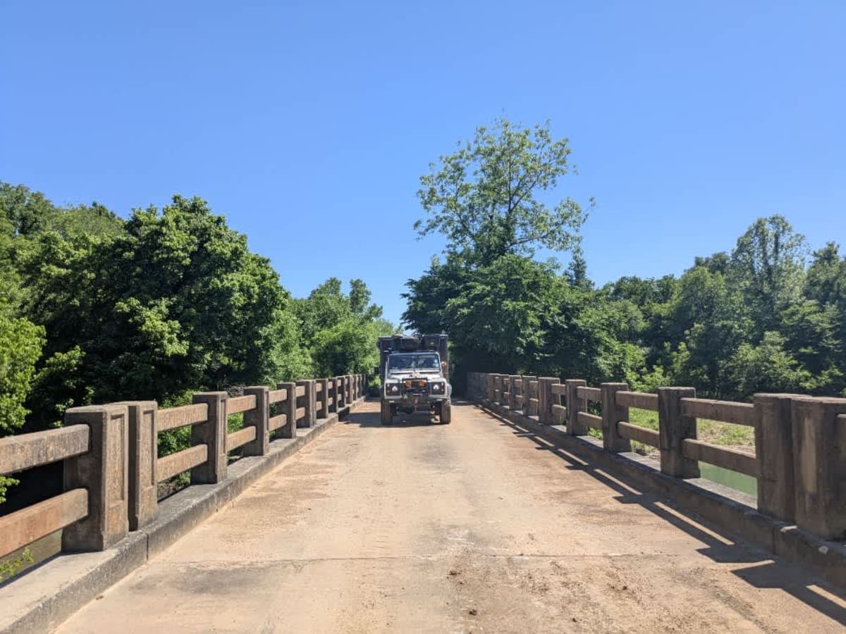
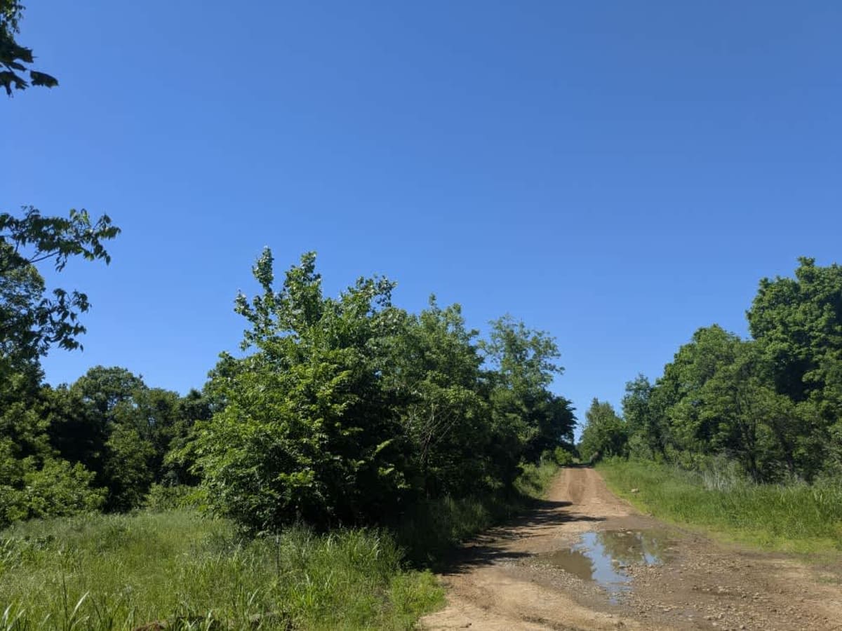
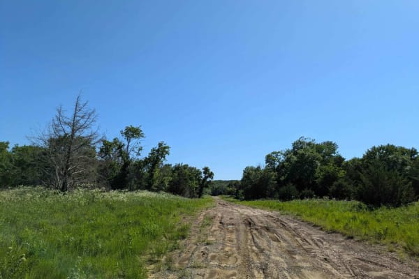
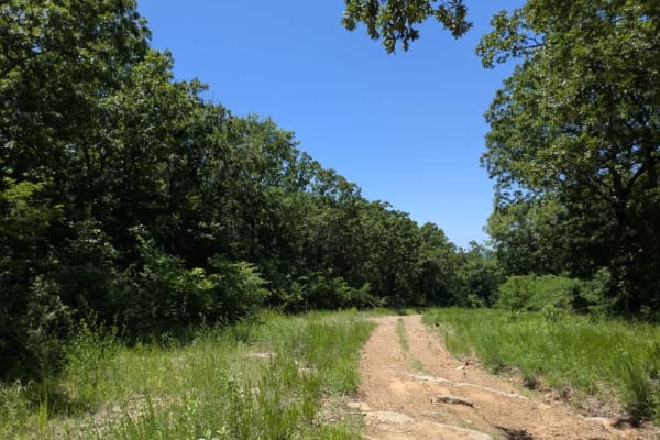
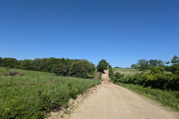
This trail is fairly well maintained and wider than many of the larger routes in the Wildlife Management Area, with a smoother gravel surface that makes for a more relaxed drive. It doesn't appear to see much traffic, and several side trails branch off, many of them narrow and overgrown. While the trail includes some steady climbs, descents, and the usual bumps and potholes, it's still a scenic route worth exploring. A highlight is the old concrete bridge over the creek, which makes a great spot to stop and cool off in summer--just be mindful of snakes in the area. There are no formal or dispersed campsites, no water or trash facilities, and limited cell coverage, so plan accordingly and check your OnX app ahead of time.
History
Cherokee Wildlife Management Area occupies more than 31,000 acres of rolling oak-hickory hills, meadows, and pond-dotted creek bottoms in southwestern Cherokee County. The property is split almost evenly between a 16,000-acre Public Hunting Area that stays open for statewide seasons and a 15,360-acre Game Management Area reserved mainly for controlled hunts, allowing wildlife managers to balance public access with habitat protection.