Trail Overview
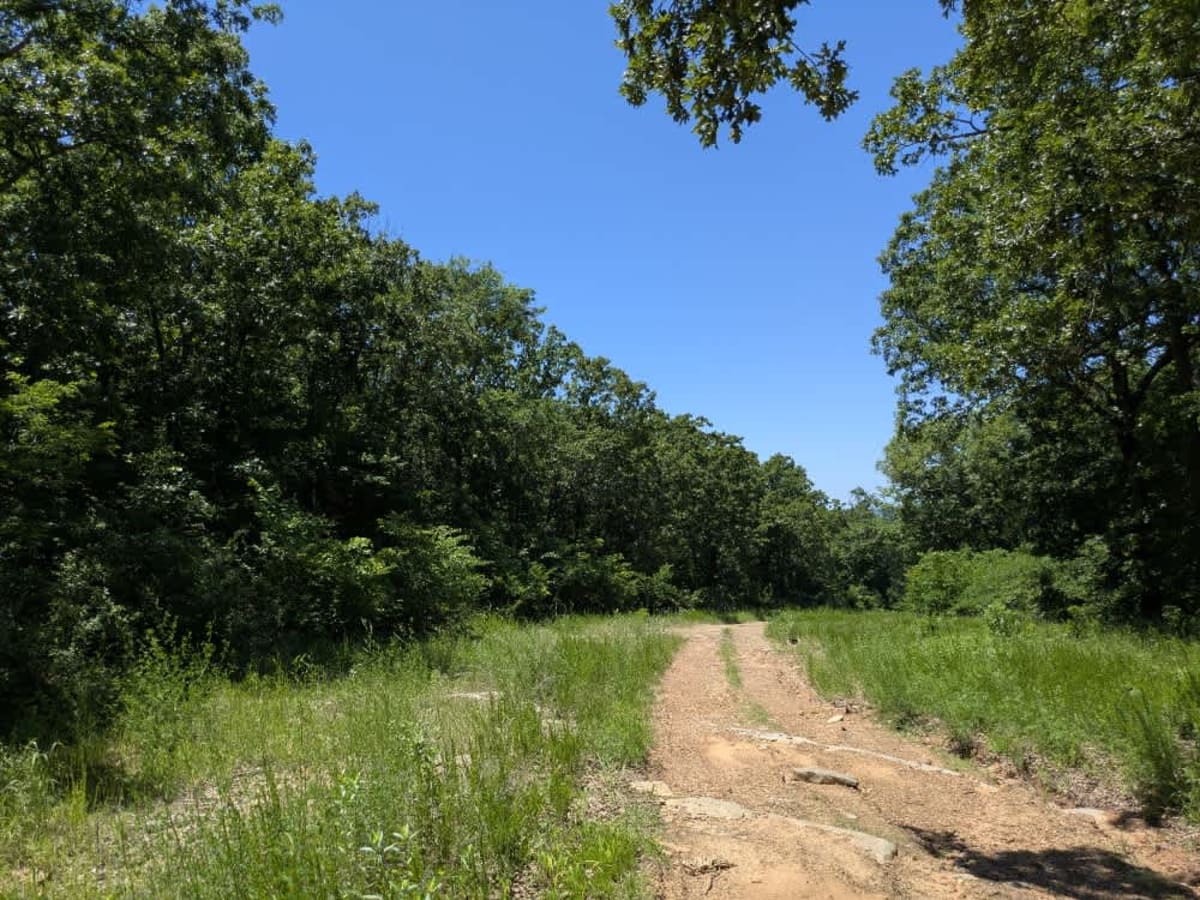
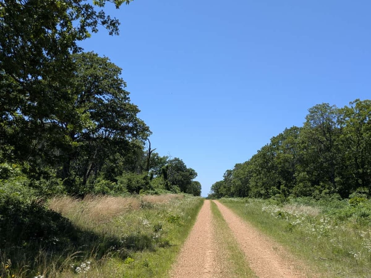
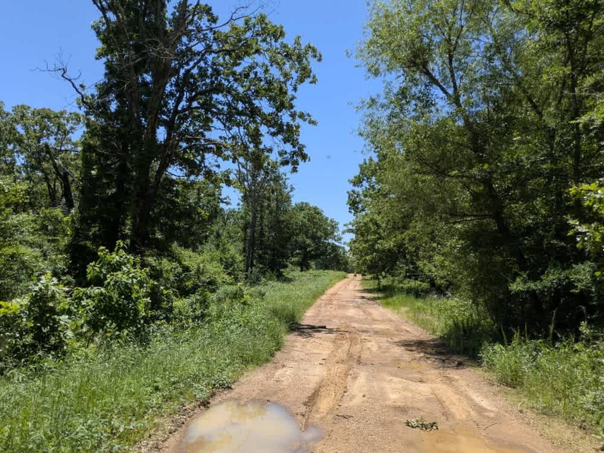
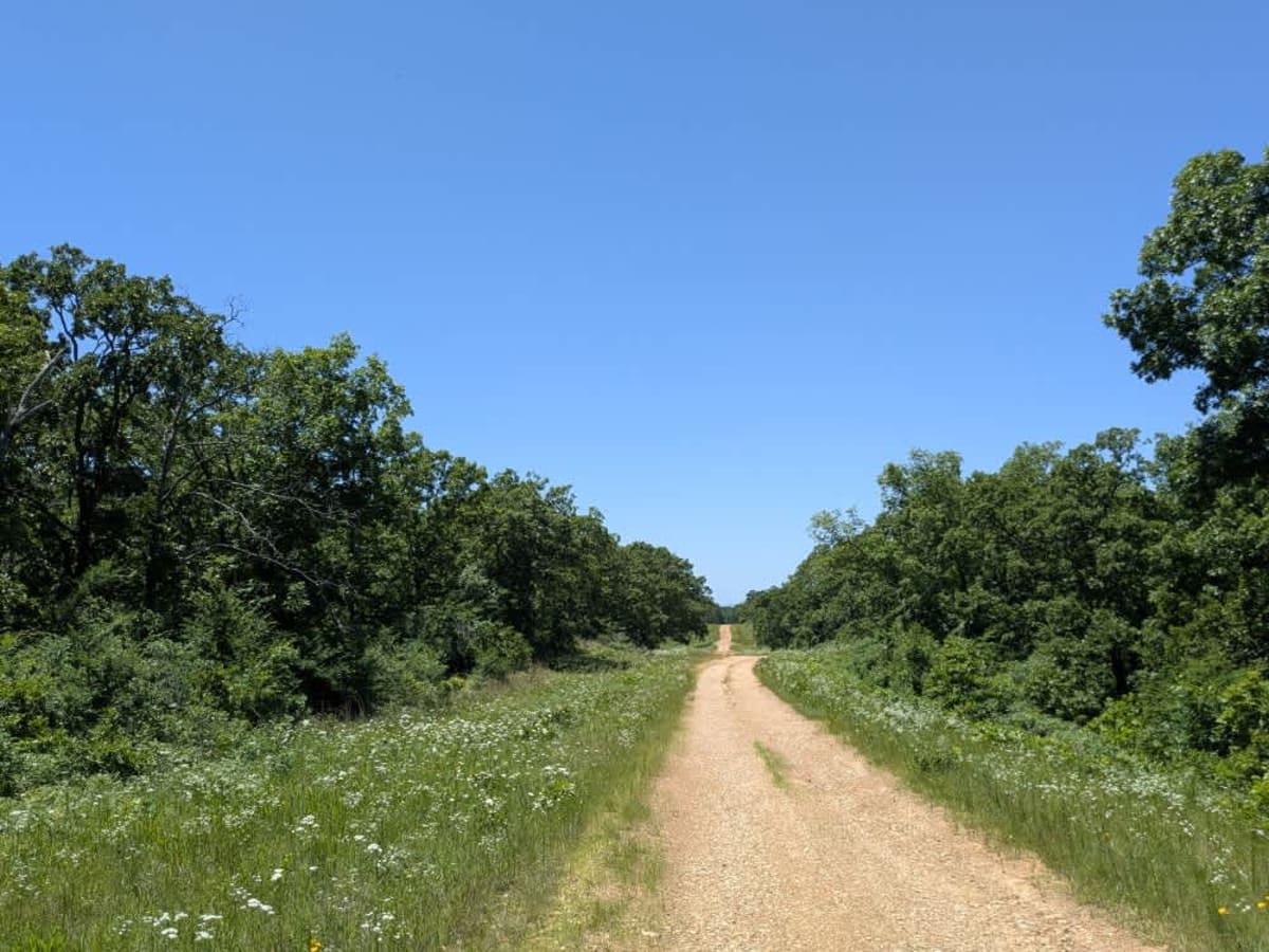
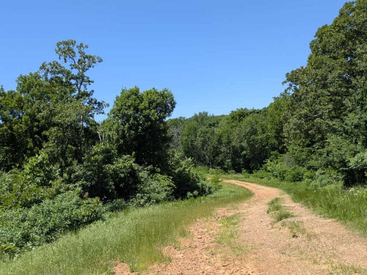
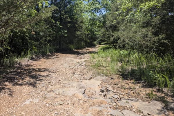
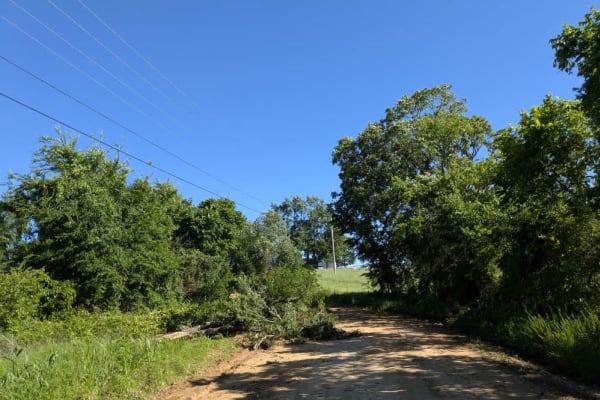
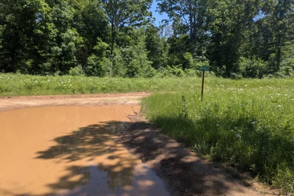
This long, scenic trail winds through a mix of terrain and throws just about everything at you--unmaintained gravel, rocky ridgelines, muddy sections, soft sand, and a fair share of climbs and drops. It's a bumpy ride throughout, with plenty of narrow, overgrown side tracks branching off. Wildlife is active here, too; we had the unusual experience of a snake sinking its fangs into our Land Rover--definitely a first. There are no designated or dispersed campsites along the way, and you won't find amenities like water or trash facilities. Cell service is limited, so be sure to check your OnX app before heading out.
Difficulty
This is an unmaintained gravel trail with rocky ridgelines, muddy sections, soft sand, and a fair share of climbs and drops.
History
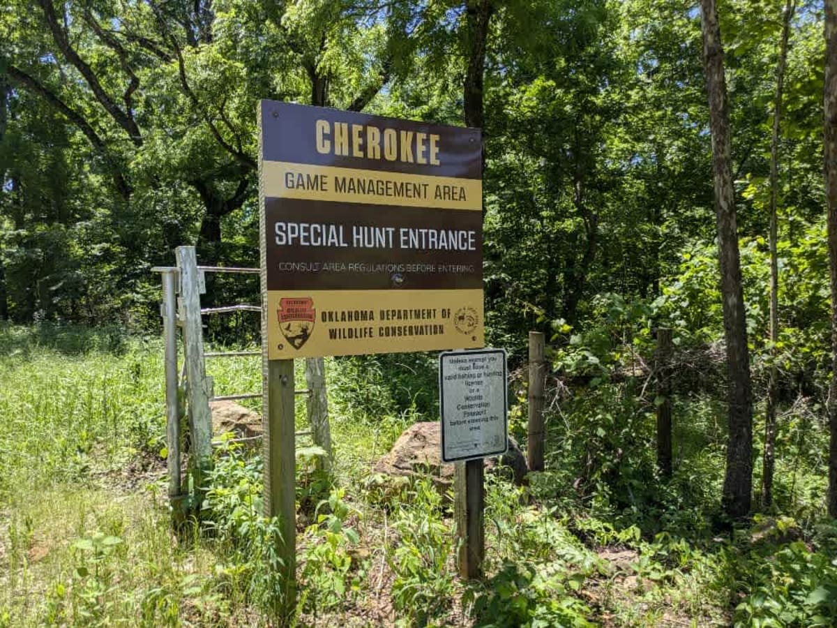
Cherokee Wildlife Management Area occupies more than 31,000 acres of rolling oak-hickory hills, meadows, and pond-dotted creek bottoms in southwestern Cherokee County. The property is split almost evenly between a 16,000-acre Public Hunting Area that stays open for statewide seasons and a 15,360-acre Game Management Area reserved mainly for controlled hunts, allowing wildlife managers to balance public access with habitat protection.