Trail Overview
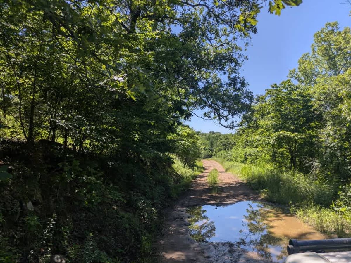
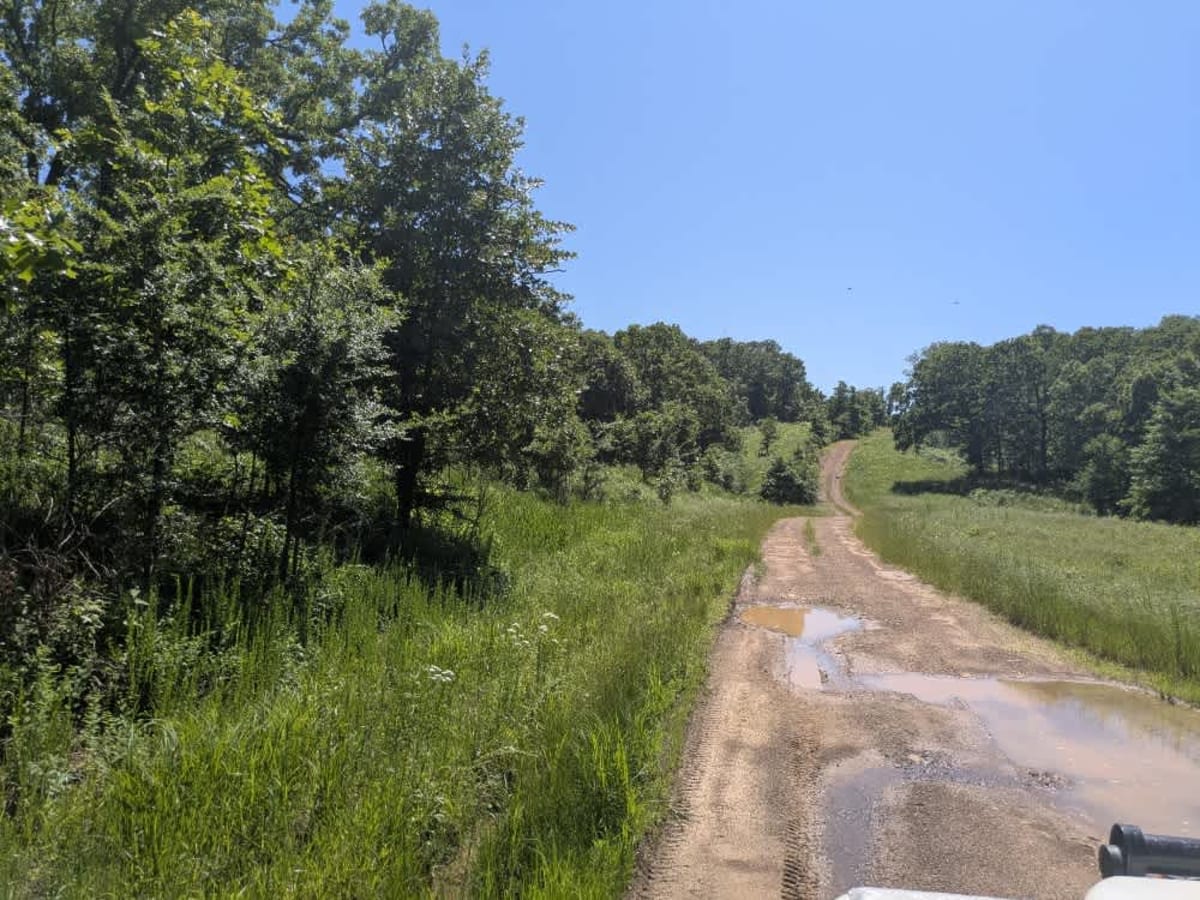
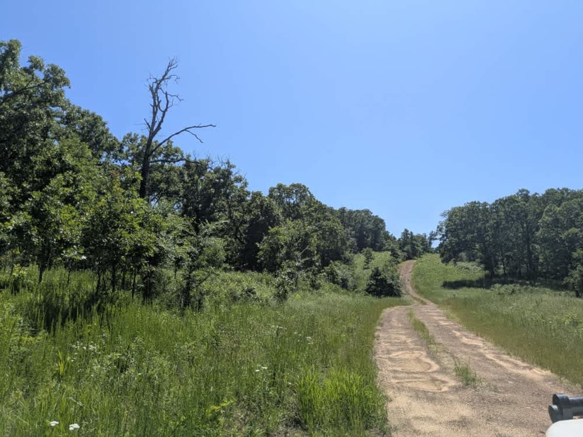
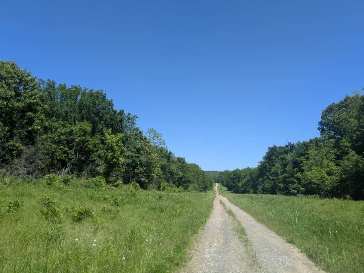
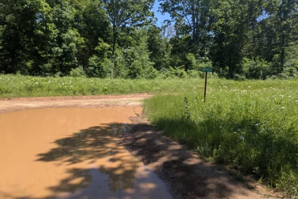
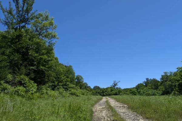
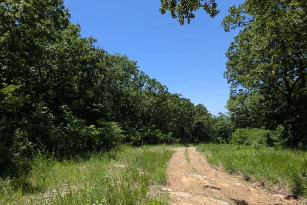
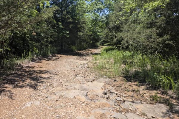
This unmaintained trail has a bit of everything--rocky ledges, steady climbs and descents, long muddy sections, and a few creek fords along the way. It's an enjoyable drive, but after heavy rain, it can become especially challenging, as we found during our visit. Despite the rough patches, it's a scenic route that links two main trails and makes for a rewarding drive if you're prepared. There are no established or dispersed campsites on this trail, and it lacks basic amenities like water and trash facilities. Cell service is limited, so be sure to check the OnX app before heading out.
Difficulty
This is an unmaintained trail with rocky ledges, with steady climbs and descents along with long muddy sections, and a few creek fords.
History
Cherokee Wildlife Management Area occupies more than 31,000 acres of rolling oak-hickory hills, meadows, and pond-dotted creek bottoms in southwestern Cherokee County. The property is split almost evenly between a 16,000-acre Public Hunting Area that stays open for statewide seasons and a 15,360-acre Game Management Area reserved mainly for controlled hunts, allowing wildlife managers to balance public access with habitat protection.