Trail Overview
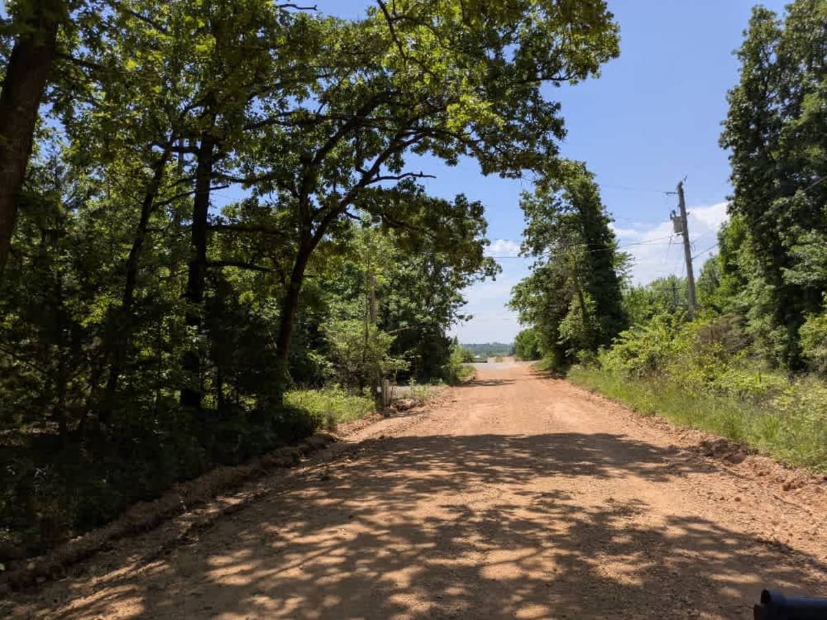
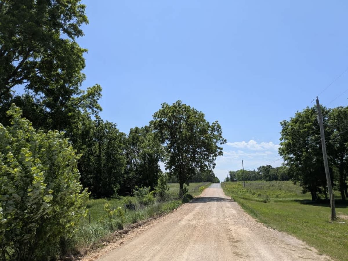
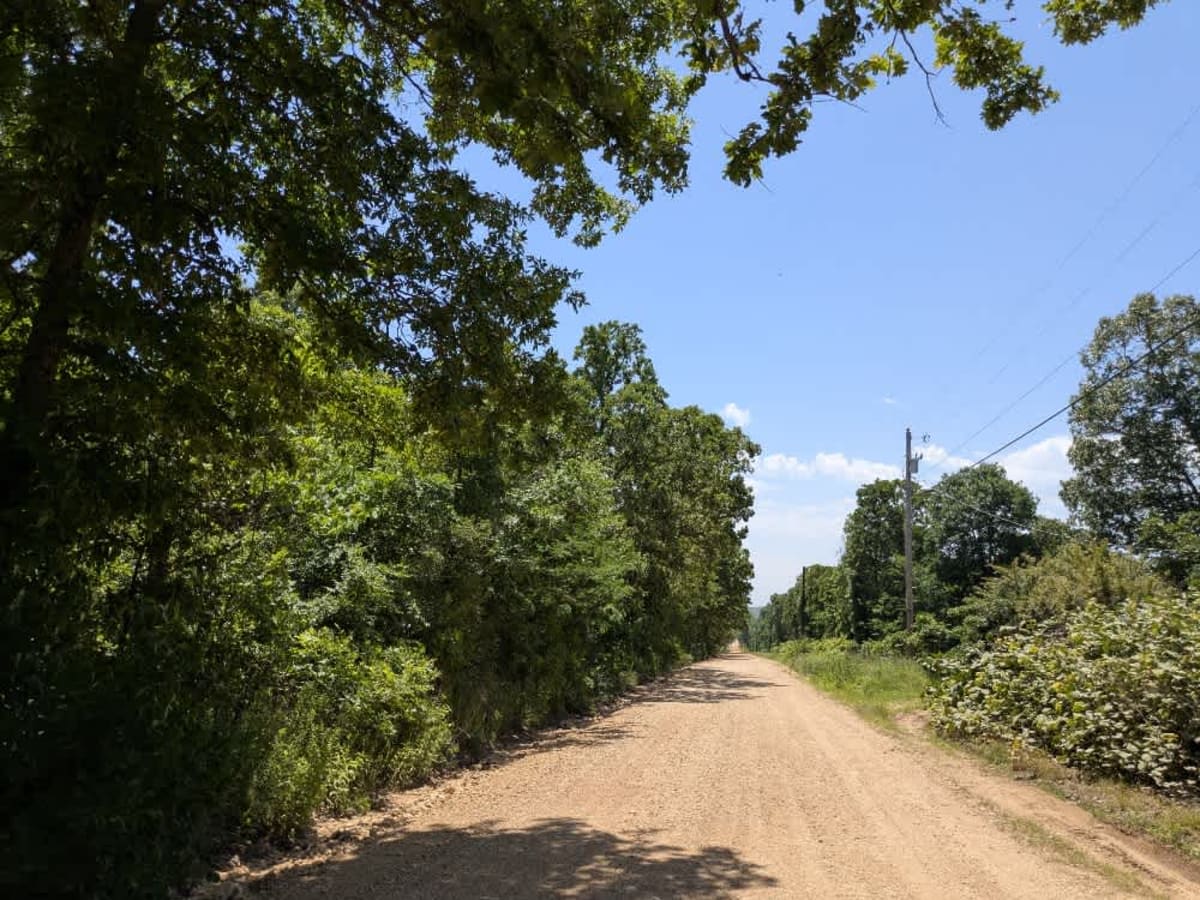
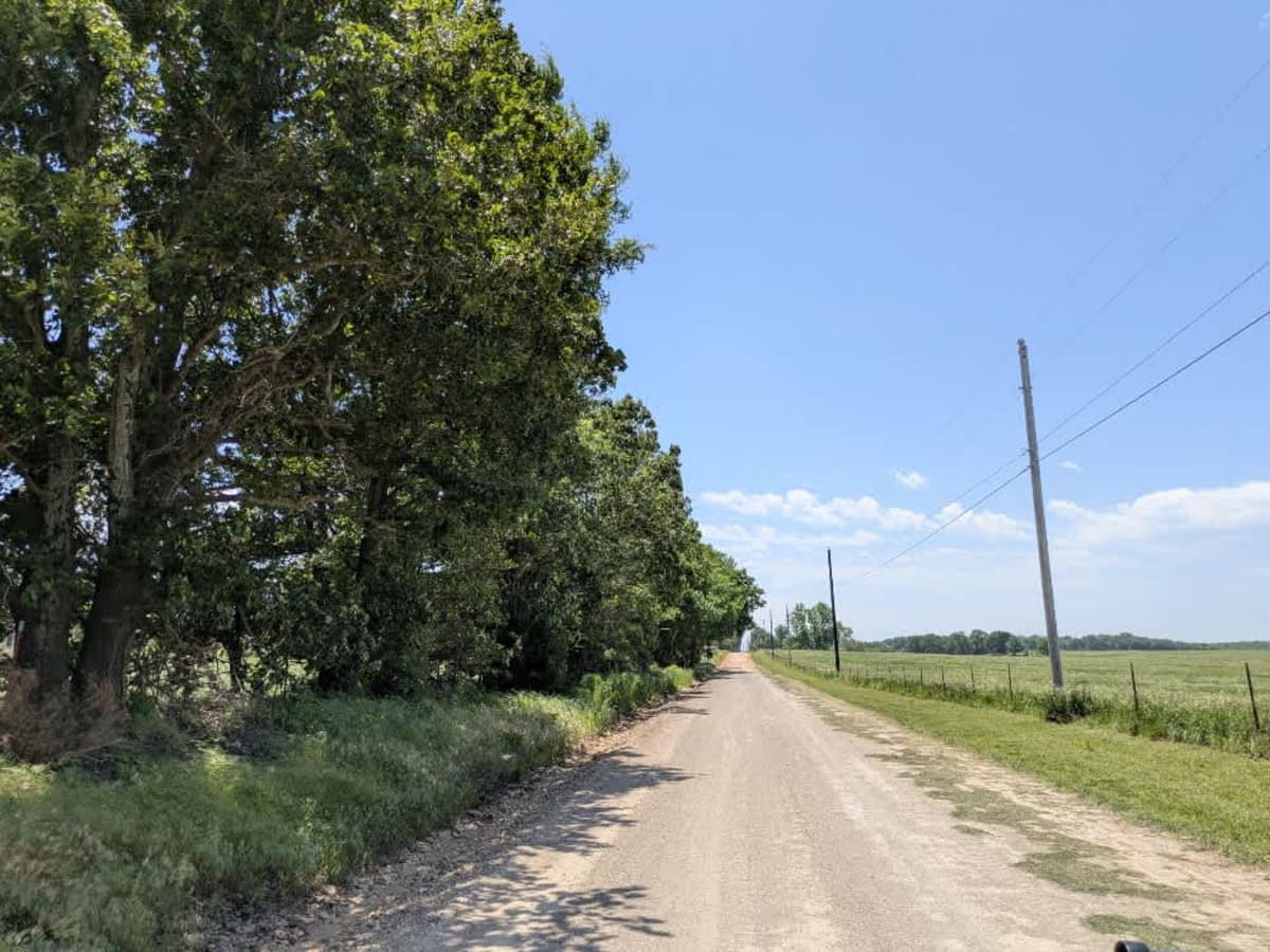
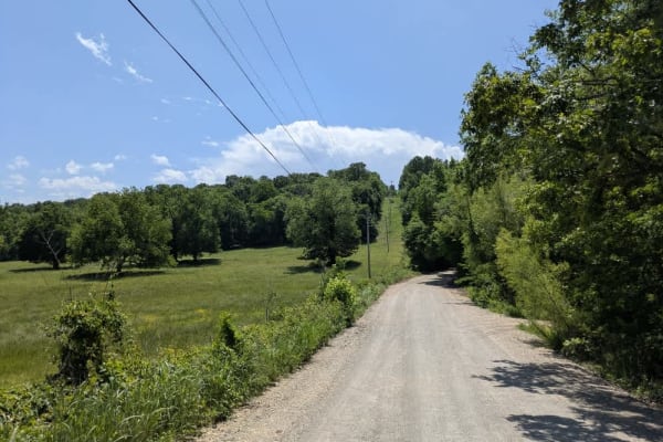
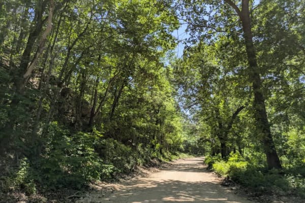
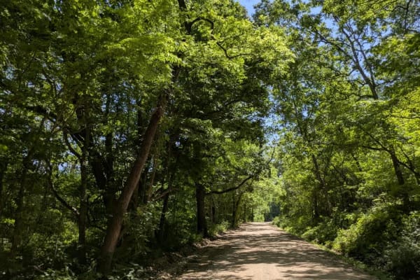
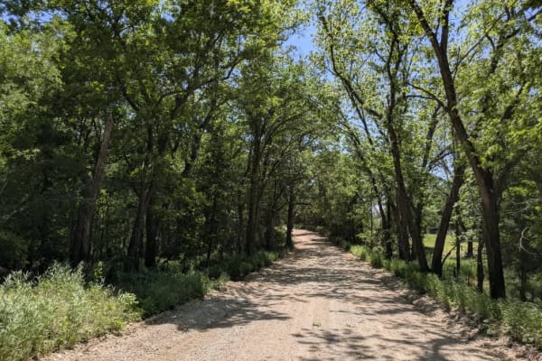
North 450 is part of the Oklahoma Adventure Trail and is a well-maintained gravel trail that winds through a mix of wooded terrain and open farmland, offering a varied and scenic drive. In the forested sections, the trail curves tightly and passes by a few less well-kept residences, while the landscape gradually opens to agricultural fields and more picturesque homesteads. Despite its overall good condition, the trail is marked by frequent potholes, bumps, and areas of corrugation that may require reduced speeds. There are no formal or dispersed campsites along the route, and no facilities such as trash disposal or water supply are available. Cell service is limited, so travelers should consult the OnX app for coverage details before setting out.
Difficulty
The trail is well-maintained and routinely graded to support a range of local use, from daily agricultural traffic by farmers to occasional travelers and outdoor enthusiasts passing through the area. Its good condition makes it easily accessible and reliable for all types of vehicles.
History
The Oklahoma Adventure Trail is a unique and ever-changing route that crosses through the state and allows visitors to avoid major roads and towns. Created by two Oklahomans and contributed to by numerous more, this trail is 70 percent dirt roads and 30 percent paved and takes riders and hikers through scenic, historical, and diverse regions throughout Oklahoma