
Beginner Off-Road Trails
Near Arlee, Montana
Explore All Beginner Trails Near Arlee, Montana
Beginner Off-Road Trails Near Arlee, Montana
Discover the best beginner-friendly off-road trails near you. These easier, lower-rated trails are a great place to start — browse trail maps, check difficulty ratings, and find your next adventure.
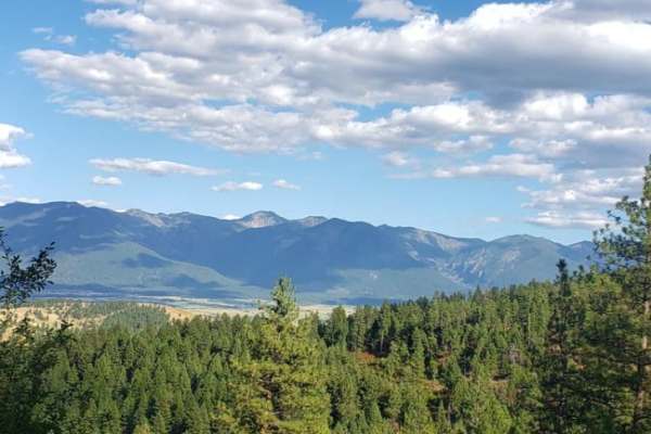
Mill Creek
If you want to rattle every bolt loose on your vehicle, then this is the road for you. This is an extremely rough road that connects Arlee and Frenchtown. There aren't many views, and there's a lot of private property along this trail. There is weak cell service and no major obstacles. The trail tra...
Learn more about Mill Creek
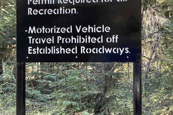
St. Marys Lake/Twin Lake Road
This is a scenic shortcut from St. Ignatius to Seeley Lake that joins into the Jocko Canyon. You will have the opportunity to pass by both St. Mary's Lake and Twin Lakes. There is camping available only to tribal members and their families. Signs are posted for this restriction. This road is 100% on...
Learn more about St. Marys Lake/Twin Lake Road
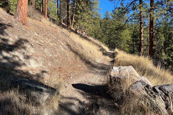
Edith Peak Trail 42
Feeling like going for a hike without all the sweat and effort? Hop on your ATV or Dirt Bike and head up Edith Peak Trail 42. Weave your way between the ponderosas and larches, shimmy your way along narrow drops to the valley below, and splash through the puddles or snow along the way. Enjoy the vie...
Learn more about Edith Peak Trail 42
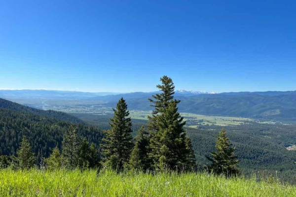
Upper Six Mile 5598 / Main Six West 4223
An easy road winding its way up Six Mile to Edith Peak. Hopefully, you're not afraid of heights as this road does narrow with steep drops, but there is plenty of room if your stomach will allow you to continue on. Snow can make this road impassable from early Fall to late Spring, but the wildflowers...
Learn more about Upper Six Mile 5598 / Main Six West 4223
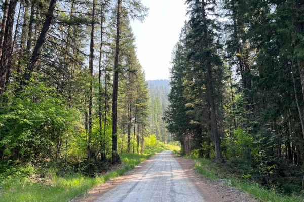
Six Mile Road (457)
This road is a beautiful climb from the Nine Mile Valley up to Edith Peak Ridge. The spring wildflowers make for spectacular views but snow often holds late into May or even into mid-June. Most of the road is well-maintained dirt with some rutting in early spring. Most of the road is a single track ...
Learn more about Six Mile Road (457)
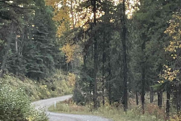
Jocko Canyon Road
This is a side spur road off of St. Marys Lake/Twin Lake Road. This track is 100% on CS&KT tribal lands. Always check their rules and regulations. All recreational activities on tribal-owned lands require a non-member person over the age of 11 to purchase a Tribal Conservation Permit. The website fo...
Learn more about Jocko Canyon Road
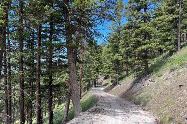
Butler Creek Loop 456
Looking for an afternoon outing with access to campsites, picnic areas, views, and light hiking? Look no further! This simple loop will take you along well-maintained gravel roads while giving you access to all that the outdoors has to offer. The road can become difficult to drive in snow but is mos...
Learn more about Butler Creek Loop 456
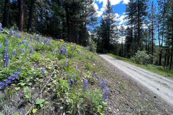
Stony Creek 2178
Stony Creek 2178 is an ideal route for offroaders seeking scenic mountain views and access to the backcountry, offering a steady climb through lush forests and vibrant spring and summer wildflowers. Spanning approximately 7 miles with a technical rating of 3, this route climbs over 1,500 feet, start...
Learn more about Stony Creek 2178
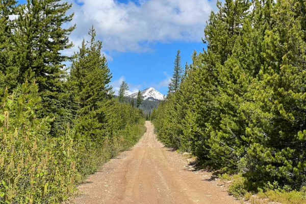
Edith Peak 476-1
Make your way up to Edith Peak and enjoy views of the valley floor below, vibrant wildflowers, and (if you're lucky) a snow-capped Ch-paa-qn Peak in spring. This road is usually buried in snow from mid-late fall through late spring and includes several stomach-turning moments where the road narrows ...
Learn more about Edith Peak 476-1
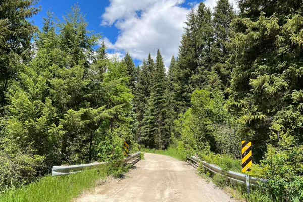
Kennedy Ridge 5507
Kennedy Ridge 5507 is an exciting mountain route ideal for high-clearance four-wheel-drive vehicles and SxSs looking for scenic vistas and access to backcountry hiking trails. Spanning 8.7 miles, this route climbs steadily from 3,656 feet to a peak elevation of 5,794 feet, starting as a well-maintai...
Learn more about Kennedy Ridge 5507
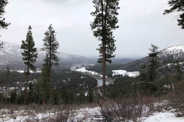
Albert Lothrop Rd 5563
Climb your way up into the hills above Alberton and enjoy the views of the Clark Fork river as well as the hills of the Lolo National Forest. This well maintained dirt road is open year-round but is inaccessible to the majority of wheeled vehicles during winter due to snow. Snow often melts by mid s...
Learn more about Albert Lothrop Rd 5563
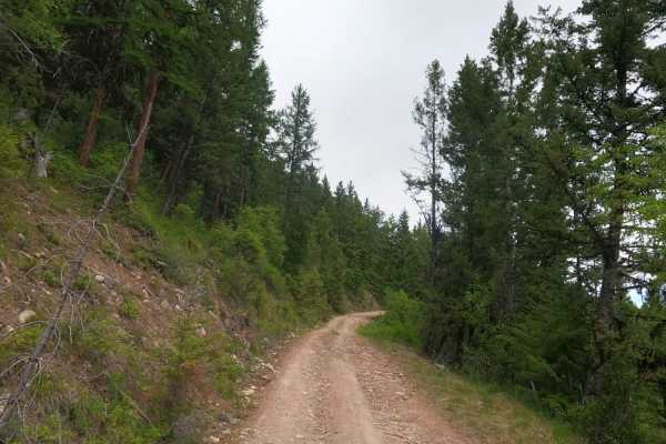
Corral Creek Rd 2146
Corral Creek road draws its name from the corral at the north end of the road and offers access to beautiful views of the Missoula and Frenchtown areas as well as access to the Lolo National Forest. Whether you're looking for camping, hunting, or just looking for some fields of wildflowers, this is ...
Learn more about Corral Creek Rd 2146
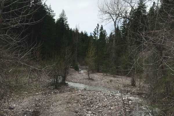
Southside Road
Southside Road is a scenic, beginner-friendly 21.9-mile backroad running along the Clark Fork River in western Montana, perfect for families, sightseers, and offroaders looking for a relaxed dirt route through lush forests. This easy-going route offers a technical rating of 1, making it accessible t...
Learn more about Southside Road
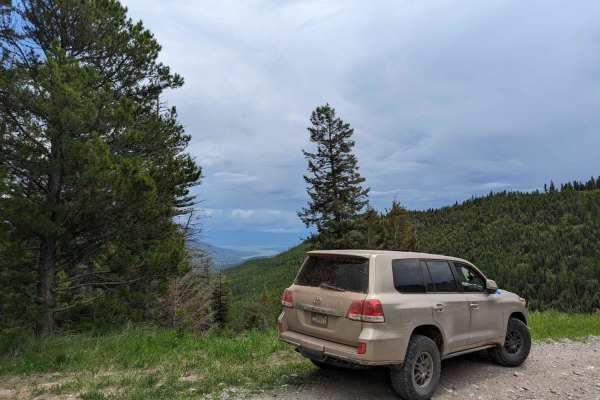
East Twin Creek Road 2117 (To Sheep Mountain hiking Trailhead)
This trail is an easy track that climbs up Sheep Mountain while gaining a lot of elevation. The trail is wide until you reach the upper portion where passing becomes more difficult. There is a parking area at the hiking trailhead. The trail starts at about 3,500 Ft in elevation and climbs to almost ...
Learn more about East Twin Creek Road 2117 (To Sheep Mountain hiking Trailhead)
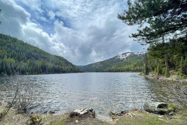
Lake Marshall
This beautiful scenic run to Lake Marshall offers tons of camping access along the way, with limited spots once you arrive at the lake. There is no apparent put-in for boats at this lake. Along the way, there are lots of creek access points--a few hiking trails and, of course, the remote Marshall La...
Learn more about Lake Marshall
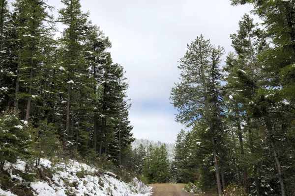
Blue Mountain
Be sure to start your day with a round of frisbee golf at the Blue Mountain Disc Golf Course before continuing up Blue Mountain to find incredible vistas of the Missoula valley. The road is well maintained gravel with some deeper potholes and jagged rocks but be prepared to run into snow during the ...
Learn more about Blue Mountain
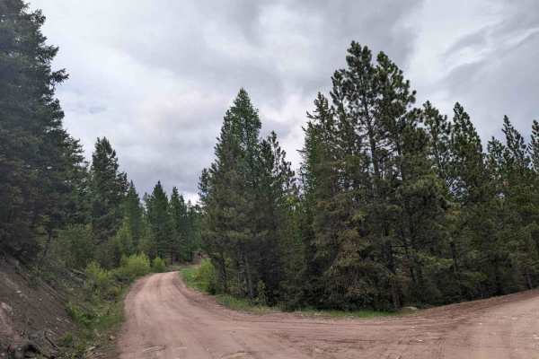
2103 West Fork Gold Creek
This trail starts as a spur off of Gold Creek road just before the locked gate at mile 7 bridge. The trail is a fairly high use road that was built for logging trucks so even after a week of rain most AWD vehicles should be okay. No deep mud or ruts exist. Pictured are the couple of muddy spots or s...
Learn more about 2103 West Fork Gold Creek
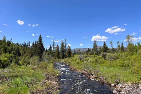
Gold Creek to 7 Mile Bridge
This is an easy dirt trail out to the 7 Mile Bridge. There is a locked gate at the bridge, but one can continue on foot across, and there is a nice dispersed campsite on the other side to the right. The campsite is tucked off in the trees with a view of the river and a nice rock fire ring. The river...
Learn more about Gold Creek to 7 Mile Bridge
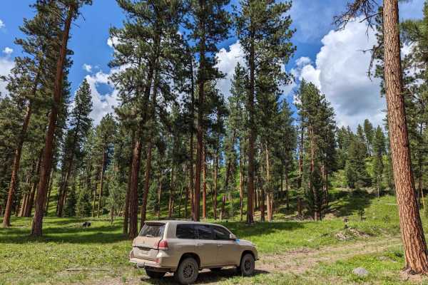
Gold Creek Trail 126 (Seasonal Access)
At mile 7 of Gold Creek, you reach a bridge with a BLM gate. (This gate is closed during certain times of the year by the BLM for the bear population to breed.) It's open in winter and closes in Spring. It re-opens about June 15th, but the date is set each year by the BLM and changes. As you cross t...
Learn more about Gold Creek Trail 126 (Seasonal Access)
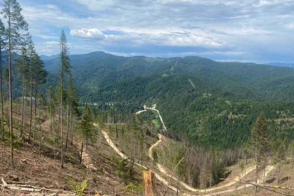
620 Character Ridge Road
This road winds along Character Ridge from Moon Saddle and down to the North Fork Coeur d'Alene River. Active logging operations have expanded and improved the existing road with new grading and plenty of room for two vehicles to pass. Keep an eye out for logging trucks and good luck keeping the dus...
Learn more about 620 Character Ridge Road
Beginner ATV trails near Arlee, Montana
Explore ATV-friendly trails near you. These trails are accessible for vehicles up to 50 inches wide, perfect for ATVs and smaller off-road machines.
St. Marys Lake/Twin Lake Road
This is a scenic shortcut from St. Ignatius to Seeley Lake that joins into the Jocko Canyon. You will have the opportunity to pass by both St. Mary's Lake and Twin Lakes. There is camping available only to tribal members and their families. Signs are posted for this restriction. This road is 100% on...
Learn more about St. Marys Lake/Twin Lake Road
Edith Peak Trail 42
Feeling like going for a hike without all the sweat and effort? Hop on your ATV or Dirt Bike and head up Edith Peak Trail 42. Weave your way between the ponderosas and larches, shimmy your way along narrow drops to the valley below, and splash through the puddles or snow along the way. Enjoy the vie...
Learn more about Edith Peak Trail 42
Upper Six Mile 5598 / Main Six West 4223
An easy road winding its way up Six Mile to Edith Peak. Hopefully, you're not afraid of heights as this road does narrow with steep drops, but there is plenty of room if your stomach will allow you to continue on. Snow can make this road impassable from early Fall to late Spring, but the wildflowers...
Learn more about Upper Six Mile 5598 / Main Six West 4223
Six Mile Road (457)
This road is a beautiful climb from the Nine Mile Valley up to Edith Peak Ridge. The spring wildflowers make for spectacular views but snow often holds late into May or even into mid-June. Most of the road is well-maintained dirt with some rutting in early spring. Most of the road is a single track ...
Learn more about Six Mile Road (457)
Beginner UTV/side-by-side trails near Arlee, Montana
Find UTV and side-by-side trails near you. These trails accommodate vehicles up to 60 inches wide, ideal for UTVs, side-by-sides, and wider off-road rigs.
Mill Creek
If you want to rattle every bolt loose on your vehicle, then this is the road for you. This is an extremely rough road that connects Arlee and Frenchtown. There aren't many views, and there's a lot of private property along this trail. There is weak cell service and no major obstacles. The trail tra...
Learn more about Mill Creek
St. Marys Lake/Twin Lake Road
This is a scenic shortcut from St. Ignatius to Seeley Lake that joins into the Jocko Canyon. You will have the opportunity to pass by both St. Mary's Lake and Twin Lakes. There is camping available only to tribal members and their families. Signs are posted for this restriction. This road is 100% on...
Learn more about St. Marys Lake/Twin Lake Road
Upper Six Mile 5598 / Main Six West 4223
An easy road winding its way up Six Mile to Edith Peak. Hopefully, you're not afraid of heights as this road does narrow with steep drops, but there is plenty of room if your stomach will allow you to continue on. Snow can make this road impassable from early Fall to late Spring, but the wildflowers...
Learn more about Upper Six Mile 5598 / Main Six West 4223
Six Mile Road (457)
This road is a beautiful climb from the Nine Mile Valley up to Edith Peak Ridge. The spring wildflowers make for spectacular views but snow often holds late into May or even into mid-June. Most of the road is well-maintained dirt with some rutting in early spring. Most of the road is a single track ...
Learn more about Six Mile Road (457)
The onX Offroad Difference
onX Offroad combines trail photos, descriptions, difficulty ratings, width restrictions, seasonality, and more in a user-friendly interface. Available on all devices, with offline access and full compatibility with CarPlay and Android Auto. Discover what you're missing today!
Open Trail Map