
Beginner Off-Road Trails
Near Arbovale, West Virginia
Explore All Beginner Trails Near Arbovale, West Virginia
Beginner Off-Road Trails Near Arbovale, West Virginia
Discover the best beginner-friendly off-road trails near you. These easier, lower-rated trails are a great place to start — browse trail maps, check difficulty ratings, and find your next adventure.

Mower East
This a seasonal route that runs from the outskirts of Cass, WV across the mountain to Cheat Bridge. The higher elevation is dominated by dense spruce forest, moss, and ferns. The route is a maintained gravel surface with smooth sweeping turns. The route has very few dispersed camping opportunities. ...
Learn more about Mower East

Glady Durbin
Glady Durbin is a scenic access road that runs right along the West Fork Greenbriar River and offers stunning picnic, fishing, and camping opportunities along the trail. This trail connects the towns of Durbin and Glady, West Virginia. From the start of the trail, there is no gas station for about 4...
Learn more about Glady Durbin
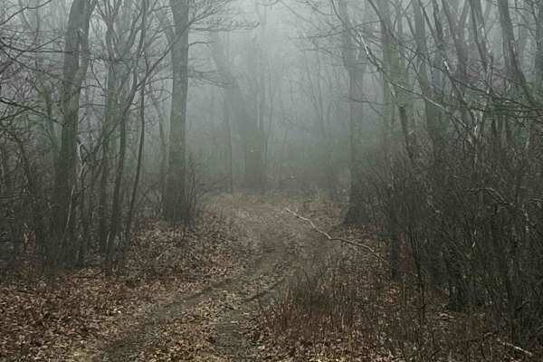
Allegheny
This route is a decently maintained forest service road that runs through Monongahela National Forest. At least a dozen or more dispersed campaigning sites are along the route. You will also find a Paddy Knob fire lookout tire. Even with a cell booster, cell service is virtually nonexistent along th...
Learn more about Allegheny
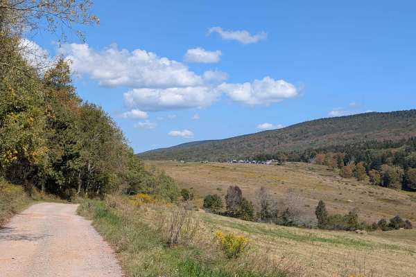
Owl Knob Hollow Connector
The Owl Knob Hollow Connector Trail follows the West Virginia–Virginia state line within the George Washington and Jefferson National Forests. This trail not only highlights the rugged beauty of the borderlands but also provides important access to the Locust Springs area, making it a valuable route...
Learn more about Owl Knob Hollow Connector
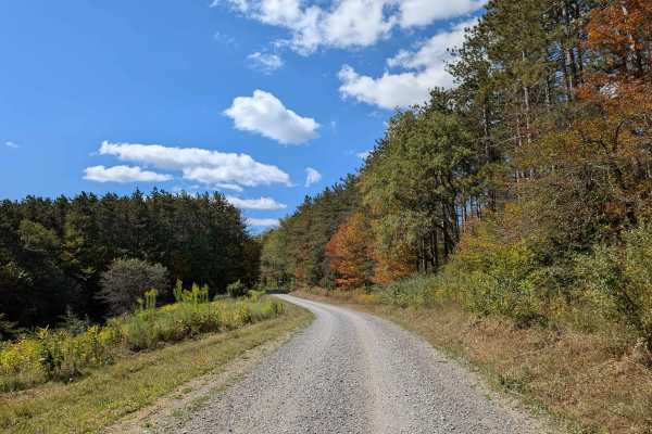
Long Run
The Long Run Trail connects State Highway 28 with Forest Road 106, offering a scenic and accessible route through the landscape. As it winds its way along marshy lowlands, travelers are treated to sweeping views of seasonal foliage. In autumn, the vibrant leaves create a colorful backdrop for the jo...
Learn more about Long Run

Old Mine
This is a maintained gravel Forest Service route that travels from the Cheat Bridge area to US 250. This section was once a large strip. It passes along the Cheat River and then up in elevation with scenic views. The road is mostly maintained gravel with some mud and rocky areas. Several sediment po...
Learn more about Old Mine
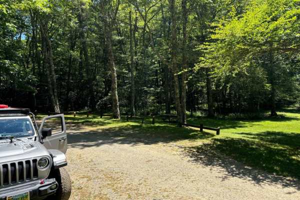
Locust Spring
This route is a dirt road that has very small potholes. At the end of the trail, you will find an area where you can get out of your vehicle and hang out. You will come across a beautiful area to have a picnic and enjoy time with your family. It also has an outdoor bathroom for one person and picnic...
Learn more about Locust Spring

Owl Knob Hollow
A dirt road off the Allegheny trail that goes down the mountain into a small ravine that comes to an end at a dry creek bed. The route has a few tight switchbacks and beautiful views of nature while you work your way down, but overall is very easy in terms of difficulty. At the end, you have a place...
Learn more about Owl Knob Hollow
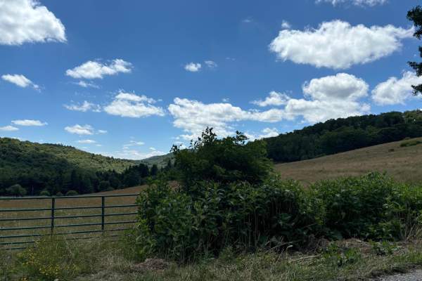
Spruce Mountain Trail
A dirt road with many beautiful views of the mountains, grassy fields, and wildlife while you climb the mountain on such a beautiful road. This road leads you to the Spruce Knob. On the way up this trail, you will come across many side trails that look like something that could be fun to explore. Th...
Learn more about Spruce Mountain Trail
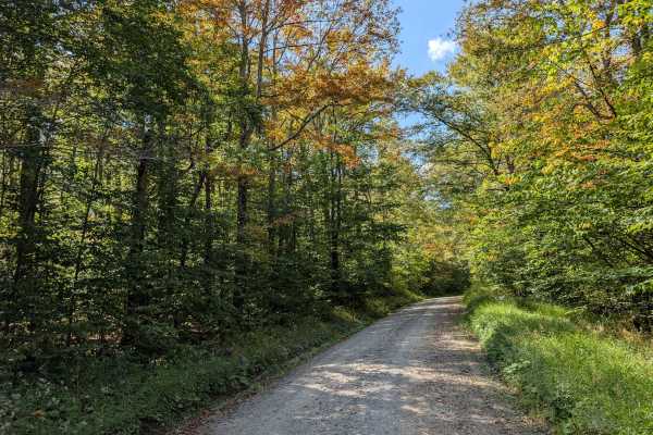
Middle Mountain
The Middle Mountain Trail provides a scenic and relatively easy route connecting the southern border of the Laurel Fork Wilderness to the intersection with Forest Road 17. Along the trail, travelers pass through several lush, forested areas, offering a peaceful, nature-rich experience. The trail's g...
Learn more about Middle Mountain
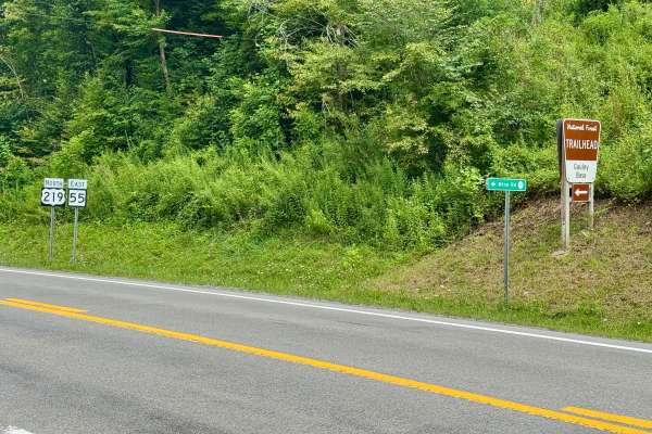
Mine Road 219/1
County Route 219/1 or Mine Road provides access to part of the Marlinton Ranger District in Monongahela National Forest. There is a prominent sign on US 219 for the road and for the Gauley Base Trailhead. As soon as you turn off of US 219, you are on National Forest land, but it's designated as a co...
Learn more about Mine Road 219/1
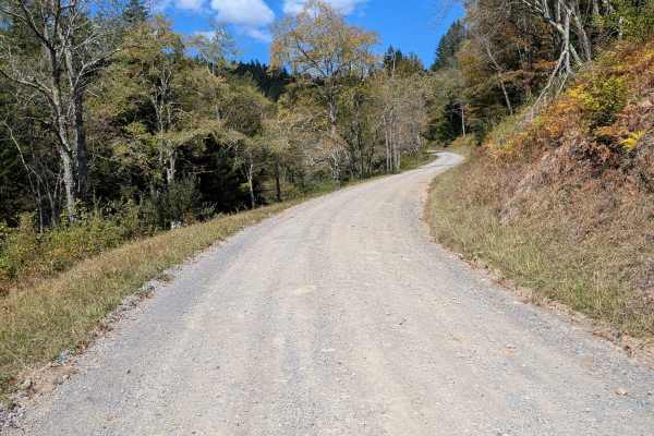
Little River Connector
The Little River Connector links the Elkins Road to River Road, bypassing Forest Service roads closed in summer. Just a 15-minute drive, it provides direct vehicle access to the southern border of Laurel Fork. This short route ensures reliable seasonal access when other roads are restricted, improvi...
Learn more about Little River Connector
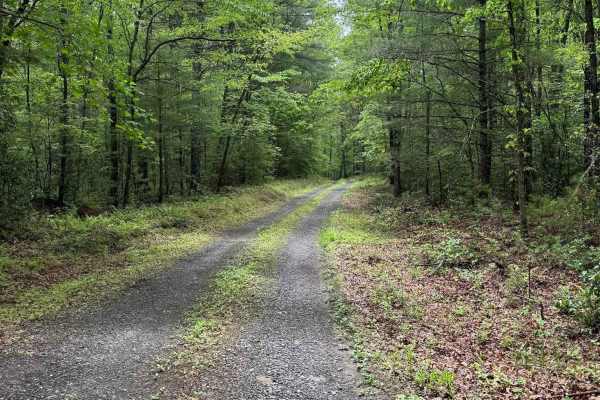
Star Chapel
Star Chapel, designated as Forest Road 401, is a seasonally open trail with access windows from January 1 through January 31, April 1 through May 31, and September 1 through December 31. For a seasonal route, it is surprisingly well-maintained, with a consistent gravel surface throughout.
The trail...
Learn more about Star Chapel
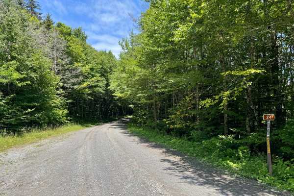
FS 24
FS 24 is a gravel forest road in part of the Marlinton Ranger District in Monongahela National Forest. It continues on from County Road 219/1 (Mine Rd) at the Tea Creek/Williams River trailhead and provides access to the other roads in this forest tract. It follows the ridgeline, and the forest vari...
Learn more about FS 24
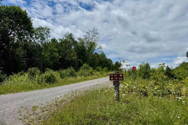
FS 368
FS 368 is mainly a gravel forest road in part of the Marlinton Ranger District in Monongahela National Forest. It is a spur from FS 24 and provides access to the 368 spur roads in this forest tract. It traverses a plateau on the ridgeline and has more wide open skies than canopy. It is quite scenic ...
Learn more about FS 368
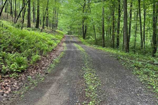
Hidden Valley Road
Hidden Valley Road, designated as Forest Road 241, is a well‑maintained gravel road that travels through forested terrain and leads to Hidden Valley Campground at the southern end. The route is generally smooth, with the most notable obstacles being potholes on the northern end. A 4WD vehicle is not...
Learn more about Hidden Valley Road
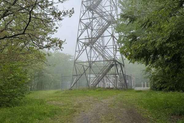
Duncan Knob
Duncan Knob, designated as Forest Road 124, is a seasonally open trail with access windows from January 1 through January 31, April 1 through May 31, and September 1 through December 31. The route features a mix of gravel, dirt, and rocky terrain, with enough rutting to warrant a difficulty rating o...
Learn more about Duncan Knob
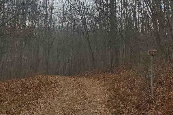
FS304B
This trail is an offshoot of Stillhouse Run Road (FS304). It is poorly, if at all maintained, and downed trees and overgrown limbs cut the trail short of what is shown as available on the map. SxS, dirt bikes, and ATVs may be able to complete the full length of the trail, but a saw would be required...
Learn more about FS304B
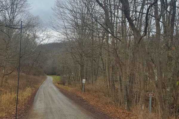
Stillhouse Run Road (FS304)
This Monongahela National Forest Road shares an entrance with Monday Lick Road (FS1002), just south of the town of Marlinton, West Virginia. It follows the Stillhouse Run Creek up to its headwaters above the Greenbriar River. It is a fairly well-maintained dirt forest road with a few small offshoots...
Learn more about Stillhouse Run Road (FS304)
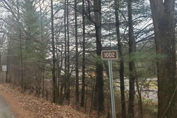
Monday Lick Rd (FS1002)
This forest road goes through part of the Monongahela National Forest and is an easy drive for any truck, small SUV, 4x4, or SxS. Beginning across the street from Stillwell Park, it shares an entrance with Stillwater Run Road (FS 304) but makes an immediate right fork following the Greenbriar River ...
Learn more about Monday Lick Rd (FS1002)
Beginner ATV trails near Arbovale, West Virginia
Explore ATV-friendly trails near you. These trails are accessible for vehicles up to 50 inches wide, perfect for ATVs and smaller off-road machines.
Locust Spring
This route is a dirt road that has very small potholes. At the end of the trail, you will find an area where you can get out of your vehicle and hang out. You will come across a beautiful area to have a picnic and enjoy time with your family. It also has an outdoor bathroom for one person and picnic...
Learn more about Locust Spring
Spruce Mountain Trail
A dirt road with many beautiful views of the mountains, grassy fields, and wildlife while you climb the mountain on such a beautiful road. This road leads you to the Spruce Knob. On the way up this trail, you will come across many side trails that look like something that could be fun to explore. Th...
Learn more about Spruce Mountain Trail
FS304B
This trail is an offshoot of Stillhouse Run Road (FS304). It is poorly, if at all maintained, and downed trees and overgrown limbs cut the trail short of what is shown as available on the map. SxS, dirt bikes, and ATVs may be able to complete the full length of the trail, but a saw would be required...
Learn more about FS304B
Stillhouse Run Road (FS304)
This Monongahela National Forest Road shares an entrance with Monday Lick Road (FS1002), just south of the town of Marlinton, West Virginia. It follows the Stillhouse Run Creek up to its headwaters above the Greenbriar River. It is a fairly well-maintained dirt forest road with a few small offshoots...
Learn more about Stillhouse Run Road (FS304)
Beginner UTV/side-by-side trails near Arbovale, West Virginia
Find UTV and side-by-side trails near you. These trails accommodate vehicles up to 60 inches wide, ideal for UTVs, side-by-sides, and wider off-road rigs.
Locust Spring
This route is a dirt road that has very small potholes. At the end of the trail, you will find an area where you can get out of your vehicle and hang out. You will come across a beautiful area to have a picnic and enjoy time with your family. It also has an outdoor bathroom for one person and picnic...
Learn more about Locust Spring
Spruce Mountain Trail
A dirt road with many beautiful views of the mountains, grassy fields, and wildlife while you climb the mountain on such a beautiful road. This road leads you to the Spruce Knob. On the way up this trail, you will come across many side trails that look like something that could be fun to explore. Th...
Learn more about Spruce Mountain Trail
FS304B
This trail is an offshoot of Stillhouse Run Road (FS304). It is poorly, if at all maintained, and downed trees and overgrown limbs cut the trail short of what is shown as available on the map. SxS, dirt bikes, and ATVs may be able to complete the full length of the trail, but a saw would be required...
Learn more about FS304B
Stillhouse Run Road (FS304)
This Monongahela National Forest Road shares an entrance with Monday Lick Road (FS1002), just south of the town of Marlinton, West Virginia. It follows the Stillhouse Run Creek up to its headwaters above the Greenbriar River. It is a fairly well-maintained dirt forest road with a few small offshoots...
Learn more about Stillhouse Run Road (FS304)
The onX Offroad Difference
onX Offroad combines trail photos, descriptions, difficulty ratings, width restrictions, seasonality, and more in a user-friendly interface. Available on all devices, with offline access and full compatibility with CarPlay and Android Auto. Discover what you're missing today!
Open Trail Map