
Beginner Off-Road Trails
Near Aragon, Georgia
Explore All Beginner Trails Near Aragon, Georgia
Beginner Off-Road Trails Near Aragon, Georgia
Discover the best beginner-friendly off-road trails near you. These easier, lower-rated trails are a great place to start — browse trail maps, check difficulty ratings, and find your next adventure.
Iron Stab
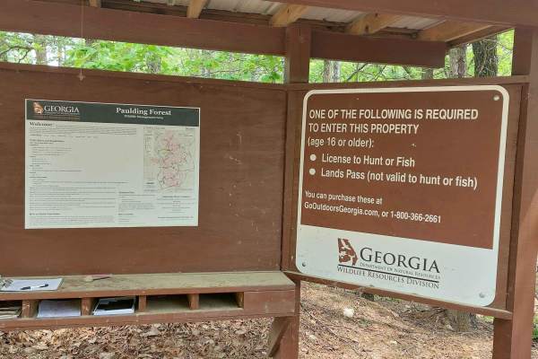
This trail is on National Forest land. A hunting/fishing license or land pass is required to enter. Expect beautiful wooden views during spring and summer. The trail is half gravel and half dirt; rain will create a few washout ruts and some mud sections. There's a deep water pit with a mud bottom lo...
Learn more about Iron Stab
Fire Mountain Road
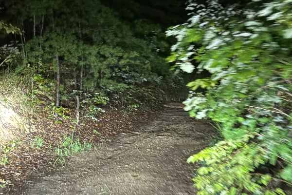
All dirt road with a few 1-foot rock areas in the pathway, but nothing serious and no off-camber areas. This is all dirt trail that has private properties on both sides. This trail will take you from Treat Mountain back to Highway 278.
Learn more about Fire Mountain Road
9
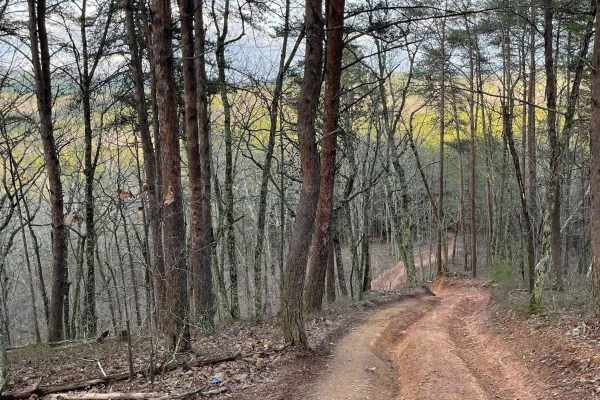
Trail 9 is an easy trail that will connect you to trails 16, 11, and 10. Only two-wheel drive is needed. It goes right past the famous Foxes Hollow trail, which can be a challenge at times. It's often a hangout at nighttime. This is a fun and easy connector trail for most.
Learn more about 9
12
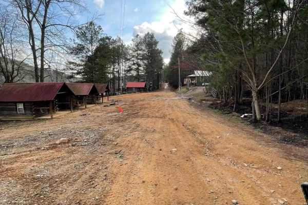
The main connecting trail at Indian Mountain ATV park links to Trail 1 and runs uphill, passing by all the cabins. It's an easy trail suitable for any vehicle in 2WD. As you progress, you might encounter a few mud puddles in some areas. The trail accommodates two-way traffic, so be sure to watch out...
Learn more about 12
Trail 8
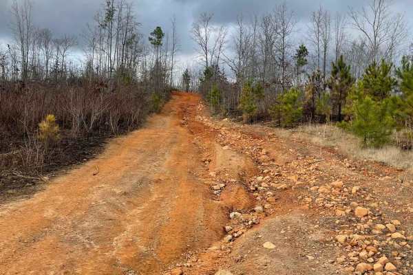
Trail 8 is a shortcut trail that crosses a ridge. It starts at both ends of Trail 12 and leads to the top of Kiley's Crawl and Booger Holler. You can drive it in any vehicle in 2WD. It takes you to the top of Paycheck Holler and allows two-way traffic. Watch out for riders.
Learn more about Trail 8
16
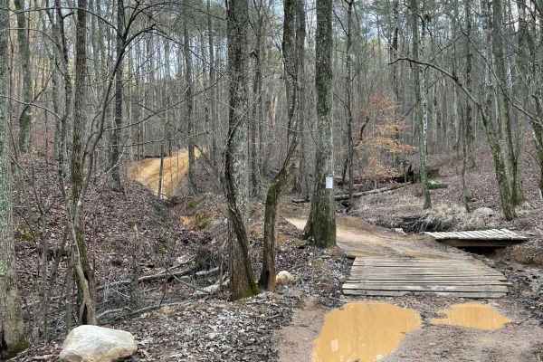
This is the main connecting trail that will take you from the dam and wind through the woods. You'll go past the entrance to Trail 6, Trail 15, and Foxes Hollow and end up at the powerlines, which is a very popular spot to hang out. The trail has a couple of small one-lane bridges to cross.
Learn more about 16
Dunaway Gap - FS 204
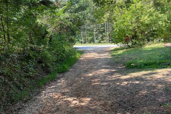
This path, situated between Dry Creek Road and Floyd Springs Road NE, primarily features a gravel and dirt track, offering a unique experience for outdoor enthusiasts. As you traverse this route, be prepared to encounter several washouts and ruts, which require careful navigation to ensure safety. T...
Learn more about Dunaway Gap - FS 204
USFSR #500K
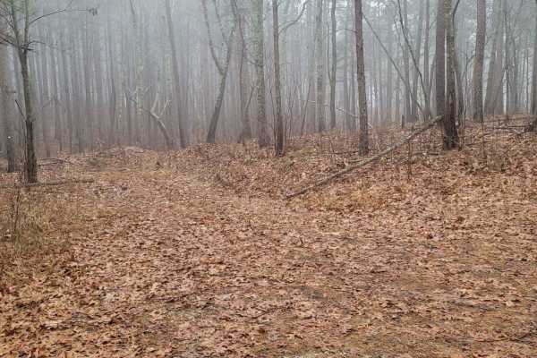
USFSR #500K is the last trail that spurs off the primary road going in and out of the Shoal Creek Ranger District portion of the Talladega National Forest. This Northernmost trail is outside the Choccolocco Wildlife Management Area but is part of the beautiful Dugger Mountain Wilderness. It is a pop...
Learn more about USFSR #500K
USFSR #500 pt 2
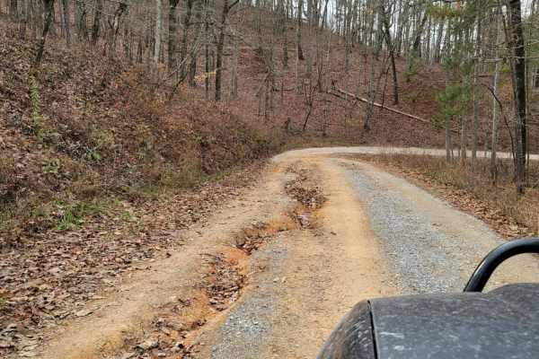
This northern portion is NOT in the Choccolocco wildlife management area, but still is in the Talladega National Forest. USFSR #500 is considered the "primary" road that runs from the southern end; starting at Skyline Drive/AL HWY 281/US HWY 78 and ends at the Northern part in the city of Piedmont i...
Learn more about USFSR #500 pt 2
Hidden Creek Road (955-955B)
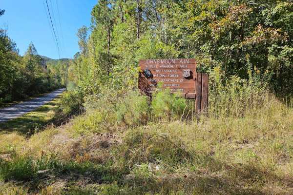
This route travels the southern portion of Johns Mountain, passing Hidden Creek and offering outstanding views. Throughout this route, you will travel a one-lane service road with rocky surfaces and minimal obstacles to navigate. Watch out for steep drop-offs and sharp turns along the route. This ro...
Learn more about Hidden Creek Road (955-955B)
USFSR #500R - Raven Rock
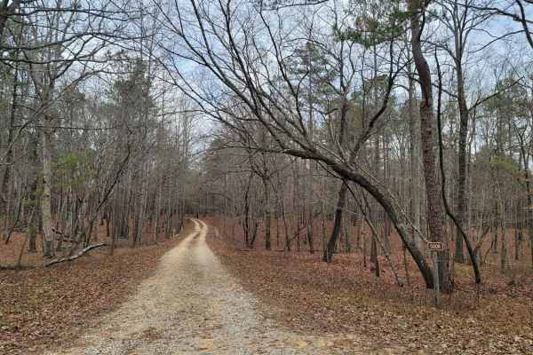
USFSR #500R - Ravenrock is a flat route at the northern entrance of the Talladega National Forest. This dead-end trail in the Shoal Creek Ranger District is gated and seasonal. Its seasonal dates are 10/01-04/01. This route is easy for any high-clearance vehicle, but would not be recommended for tho...
Learn more about USFSR #500R - Raven Rock
Taylor's Ridge - FS 254
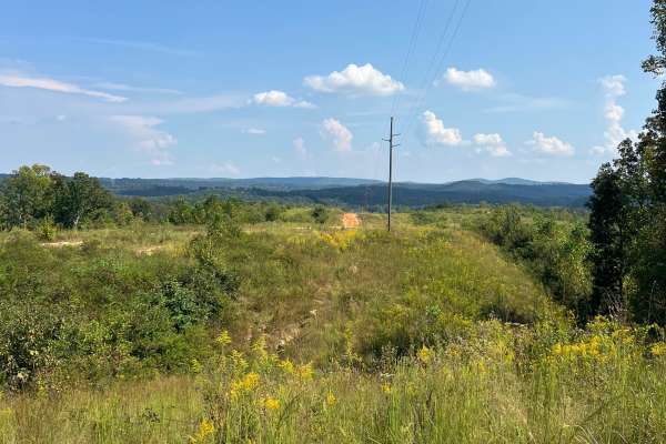
If you’re in the mood for a little adventure, take a detour off Martha Berry Highway (Route 27) and follow the nicely graveled two-track that winds its way into the majestic Chattahoochee National Forest. This hidden gem practically invites you to leave the beaten path and embrace the thrill of expl...
Learn more about Taylor's Ridge - FS 254
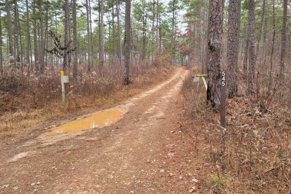
USFSR #545 - Hilltop
USFSR #545 - Hilltop is a seasonally open trail; the gates are open 10/01-02/29. During this short period, there is increased traffic and the traditionally cold rainy season in east Alabama. The trail maintains mud holes throughout, although they have hard bottoms. 545 Hilltop has been shut down on ...
Learn more about USFSR #545 - Hilltop
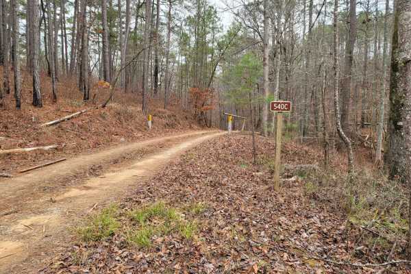
USFSR #540C - N.R. Hotel
USFSR #540 - N.R. Hotel is a mountainside stroll that allows you to have a cliffside view of the deep valleys that the Talladega National Forest has to offer. This seasonal trail is only open 10/01-02/29, so if you get a chance during hunting season to wander through, make sure you take your opportu...
Learn more about USFSR #540C - N.R. Hotel
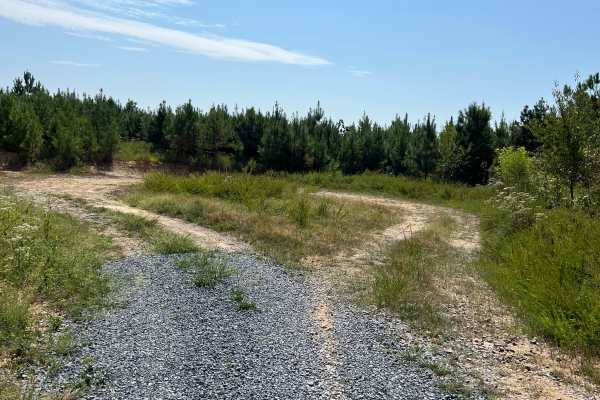
Calbeck - FS 955E
Calebck spurs off of FS 955B, also known as Hidden Creek Road. This freshly graveled track is thick and loose, so please ride with caution if you are on two wheels. The journey begins with a steady elevation gain for the first 2.7 miles. After this ascent, the track drops in elevation by roughly 150...
Learn more about Calbeck - FS 955E
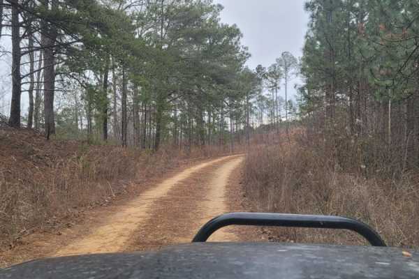
USFSR# 549
USFSR# 549 is a beginner-friendly, 3.9-mile unpaved trail in the Talladega National Forest that offers a straightforward and scenic drive through the dense woods of eastern Alabama. Connecting USFSR# 555 on the east to USFSR# 500 on the west, this route is perfectly suited for stock four-wheel-drive...
Learn more about USFSR# 549
Bow Creek - FS 955F
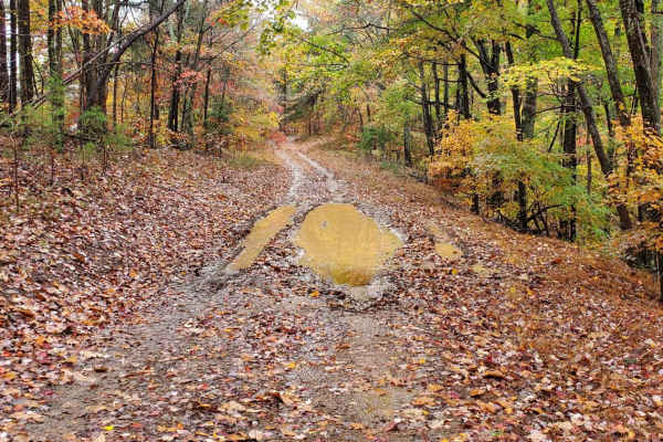
Bow Creek, FSR 955F, is a seasonally closed forest service road in the John Mountain Wildlife Management area. It is an in-and-out road and the travel time reflects this with the return trip. This forest service road affords great access for hunters with a few campsites along the way. Current 2024 M...
Learn more about Bow Creek - FS 955F
Blue Springs Branch A - FS 955A
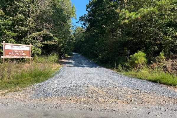
This track spurs off of FS 955F, also known as Bow Creek. It is structured as a full out-and-back route along a freshly graveled forest road with a steady, consistent elevation gain throughout the journey. The trail gets quite tight in several places, but fortunately, there are pull-off areas scatte...
Learn more about Blue Springs Branch A - FS 955A
Blue Springs Branch D - FS 955D
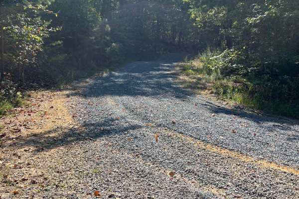
This track branches off from FS 955F, also known as Bow Creek, and offers a unique driving experience. Recently, it has been freshly graveled, resulting in a thick and loose gravel surface that adds a bit of challenge to the journey. As you navigate the track, you’ll encounter a steady elevation gai...
Learn more about Blue Springs Branch D - FS 955D
USFSR #548A
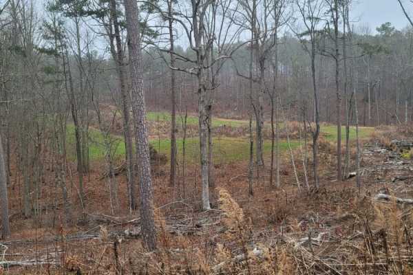
USFSR #548A is a scenic, 2.6-mile dirt trail in Talladega National Forest that offers offroaders an easy but engaging route through beautiful pine forests and lush green fields. Ideal for beginners, stock high-clearance four-wheel-drive vehicles, and SxSs, this seasonally open trail features a techn...
Learn more about USFSR #548A
Beginner ATV trails near Aragon, Georgia
Explore ATV-friendly trails near you. These trails are accessible for vehicles up to 50 inches wide, perfect for ATVs and smaller off-road machines.
9
Trail 9 is an easy trail that will connect you to trails 16, 11, and 10. Only two-wheel drive is needed. It goes right past the famous Foxes Hollow trail, which can be a challenge at times. It's often a hangout at nighttime. This is a fun and easy connector trail for most.
Learn more about 9
12
The main connecting trail at Indian Mountain ATV park links to Trail 1 and runs uphill, passing by all the cabins. It's an easy trail suitable for any vehicle in 2WD. As you progress, you might encounter a few mud puddles in some areas. The trail accommodates two-way traffic, so be sure to watch out...
Learn more about 12
Trail 8
Trail 8 is a shortcut trail that crosses a ridge. It starts at both ends of Trail 12 and leads to the top of Kiley's Crawl and Booger Holler. You can drive it in any vehicle in 2WD. It takes you to the top of Paycheck Holler and allows two-way traffic. Watch out for riders.
Learn more about Trail 8
16
This is the main connecting trail that will take you from the dam and wind through the woods. You'll go past the entrance to Trail 6, Trail 15, and Foxes Hollow and end up at the powerlines, which is a very popular spot to hang out. The trail has a couple of small one-lane bridges to cross.
Learn more about 16
Beginner UTV/side-by-side trails near Aragon, Georgia
Find UTV and side-by-side trails near you. These trails accommodate vehicles up to 60 inches wide, ideal for UTVs, side-by-sides, and wider off-road rigs.
9
Trail 9 is an easy trail that will connect you to trails 16, 11, and 10. Only two-wheel drive is needed. It goes right past the famous Foxes Hollow trail, which can be a challenge at times. It's often a hangout at nighttime. This is a fun and easy connector trail for most.
Learn more about 9
12
The main connecting trail at Indian Mountain ATV park links to Trail 1 and runs uphill, passing by all the cabins. It's an easy trail suitable for any vehicle in 2WD. As you progress, you might encounter a few mud puddles in some areas. The trail accommodates two-way traffic, so be sure to watch out...
Learn more about 12
Trail 8
Trail 8 is a shortcut trail that crosses a ridge. It starts at both ends of Trail 12 and leads to the top of Kiley's Crawl and Booger Holler. You can drive it in any vehicle in 2WD. It takes you to the top of Paycheck Holler and allows two-way traffic. Watch out for riders.
Learn more about Trail 8
16
This is the main connecting trail that will take you from the dam and wind through the woods. You'll go past the entrance to Trail 6, Trail 15, and Foxes Hollow and end up at the powerlines, which is a very popular spot to hang out. The trail has a couple of small one-lane bridges to cross.
Learn more about 16
The onX Offroad Difference
onX Offroad combines trail photos, descriptions, difficulty ratings, width restrictions, seasonality, and more in a user-friendly interface. Available on all devices, with offline access and full compatibility with CarPlay and Android Auto. Discover what you're missing today!
Open Trail Map