
Beginner Off-Road Trails
Near Antelope, Oregon
Explore All Beginner Trails Near Antelope, Oregon
Beginner Off-Road Trails Near Antelope, Oregon
Discover the best beginner-friendly off-road trails near you. These easier, lower-rated trails are a great place to start — browse trail maps, check difficulty ratings, and find your next adventure.

Bear Creek Road (Painted Hills Trail)
This maintained gravel road will take you through part of the John Day Fossil Beds and Painted Hills National Monument. You can access the Painted Hills Overlook from this trail, which has several hiking trails as well. Be aware, as you continue down this trail it becomes a private road with no tres...
Learn more about Bear Creek Road (Painted Hills Trail)

Painted Cove Nature Trail Access
This is a quick out-and-back trail, and though it may be short, the views are absolutely stunning, even on a cloudy day. The trail is straightforward aside from 1 or 2 slightly washboarded areas. There are ample opportunities for photo stops, and be sure to check out the Nature Trail walk at the end...
Learn more about Painted Cove Nature Trail Access
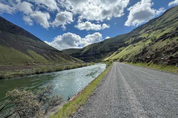
Lower Deschutes River Access Road
Take your time and enjoy the rugged beauty as you travel down this deep rimrock-lined canyon section of the Deschutes River, a designated Federal Wild and Scenic River. This road ends 17 miles down the canyon, but this trip is more about the journey than the destination. The road is mostly gravel th...
Learn more about Lower Deschutes River Access Road
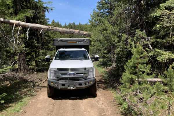
Summit Road NF2630
This route transports travelers from Highway 26 north of Prineville Oregon into the middle of the Ochoco National Forest. Along the way you'll find yourself navigating well-groomed forest service roads, fairly narrow and rocky road surfaces and a few small obstacles. You'll be rewarded with wonderfu...
Learn more about Summit Road NF2630
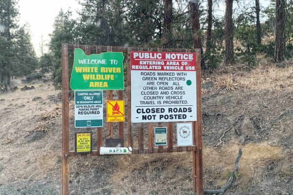
Little Badger Creek
A dusty but well-maintained dirt trail that crosses through a nature preserve and continues into the Hood National Forest ending at a lush little forest campground with a creek running through it. The trail starts in a valley and ascends up the hillside to the top of the ridge. The views out over ...
Learn more about Little Badger Creek
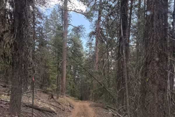
Wildcat Mountain Trail - FS 3350
Trail begins extremely easy and predominately a mix of gravel and dirt for the first half of the trail. Gets narrow near the summit around 80-90in wide with a height limit of around 8ft due to fallen trees and overhang. There is a publicly accessible gate near the top of the mountain that is a littl...
Learn more about Wildcat Mountain Trail - FS 3350
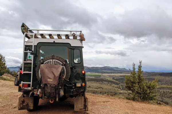
Haystack Overlook
Haystack Overlook is an easy, scenic route ideal for beginners, families, and offroaders looking for a relaxed drive with stunning panoramic views of the Crooked River National Grasslands and Haystack Reservoir. Starting near Madras, Oregon, this 10.7-mile track combines well-maintained gravel roads...
Learn more about Haystack Overlook
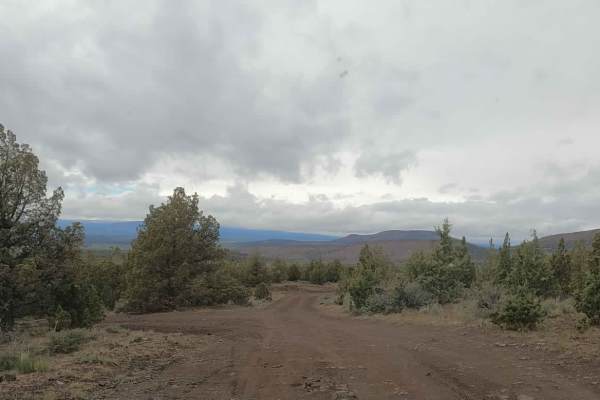
NF-5740
This is a dirt road used to access Gray Butte and the adjacent Henderson Flats OHV system from US-97. This area is popular with equestrians, hikers, mountain bikers, and the UTV and moto crowd, all using nearby trails specific to the different activities. Expect traffic. It's occasionally snowbound ...
Learn more about NF-5740
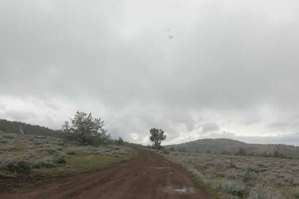
Gray Butte - NF-5700
This is an unmaintained dirt road accessing Gray Butte Trailhead and other nearby trails in the Crooked River National Grasslands just north of Gray Butte. There are numerous dispersed camping spots along this road often used by climbers visiting nearby Smith Rocks. This road climbs up over 4,000 fe...
Learn more about Gray Butte - NF-5700
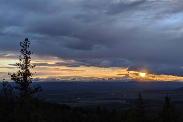
NF-5730
Easy, unmaintained dirt road accessing Gray Butte Trailhead and other nearby trails in the Crooked River National Grasslands just West of Gray Butte. There are numerous dispersed camping spots along this road often used by climbers visiting nearby Smith Rocks. This road climbs up over 4000', so expe...
Learn more about NF-5730
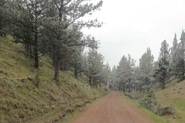
Skull Hollow - NF-5710
Gravel Forest Service Road climbing out of the popular Skull Hollow campground up onto the shoulder of Gray Butte in the Crooked River National Grasslands. This road has multiple roadside pullouts used for dispersed camping by climbers visiting nearby Smith Rock State Park. This road climbs up above...
Learn more about Skull Hollow - NF-5710
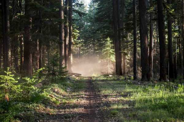
587
Trail 587 is a short trail under half a mile long that descends from 596, starting easy and widening through forested areas. The north end features downed logs near the entrance to a burn area, which could significantly increase the difficulty. The trail passes through scenic Douglas fir forests and...
Learn more about 587
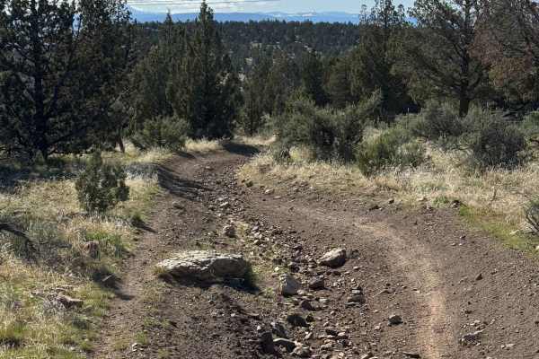
OHV Trail #10
OHV Trail #10 is an easy 6.5-mile loop through sagebrush and juniper. Expect mostly hard-packed dirt with scattered embedded rocks, low rock ledges, and one short hill climb. Open to dirt bikes and ATVs (under 50" and 800 pounds) only, this scenic trail is well suited for beginner and intermediate r...
Learn more about OHV Trail #10
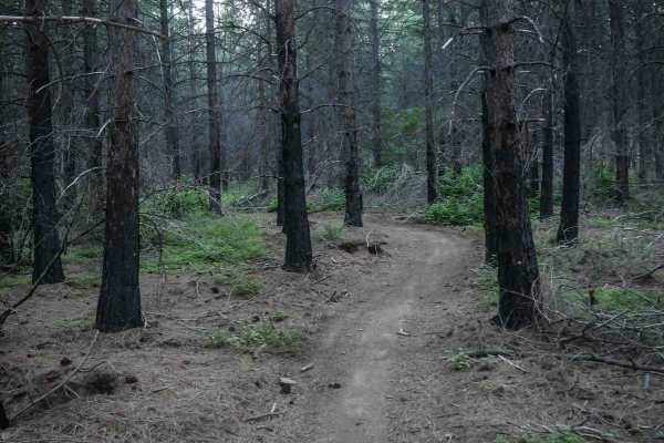
592
The east end of Trail 592 starts as a wide, gravelly road along the edge of a burn area, then narrows into a curvy two-track with small climbs on loose dirt and rocks. While some sections are narrow between the bushes with small embedded roots, the trail remains mostly smooth and easy. Several unmar...
Learn more about 592
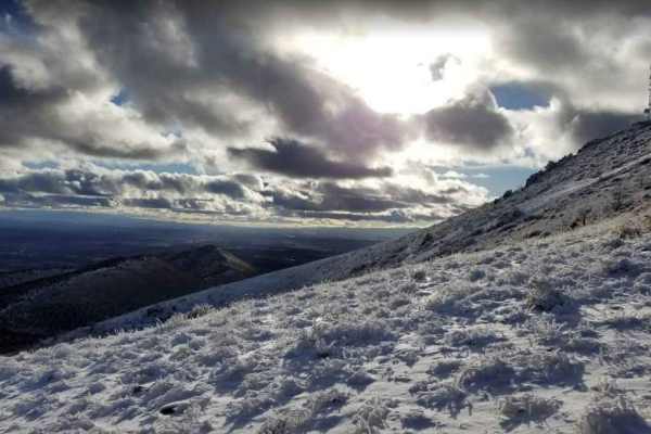
Gray Butte Summit
Gray Butte Summit is a steep climb perfect for offroaders seeking panoramic views of the Cascade Range and the surrounding Crooked River National Grassland. Starting near the Gray Butte Saddle Trailhead at approximately 3,700 feet, this 1.8-mile trail gains over 1,400 feet as it winds up toward the ...
Learn more about Gray Butte Summit
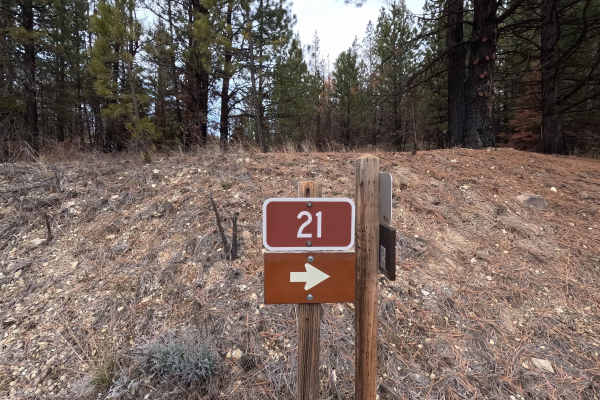
The Old Western Route - FS 21
The Old Western Route is a 13.9-mile point-to-point gravel road connecting the west end of Wheeler Point with the Heppner-Spray Highway. Although the road appears to continue west to the town of Fossil, a private gate is located several hundred yards west of this route's western end. The road surfac...
Learn more about The Old Western Route - FS 21
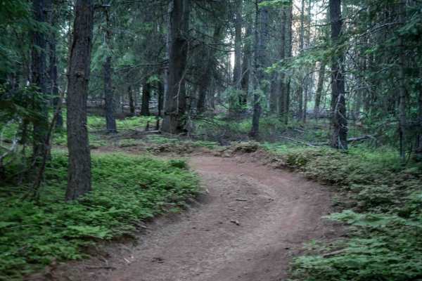
576E
Trail 576E is a short connector trail branching off from 592, beginning as a small wooded two-track segment before opening to a wide, smooth gravel road with no obstacles. It links the 576B loop to National Forest road 2110, starting the route back to the staging area and campground.
Learn more about 576E
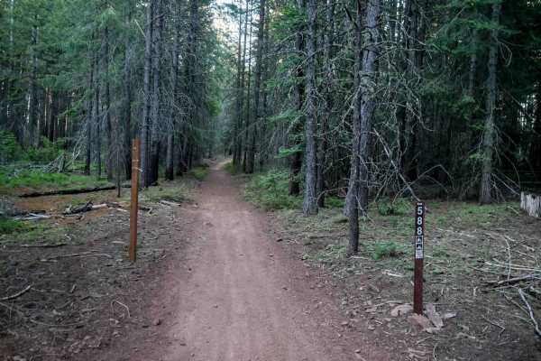
588
Trail 588 is a 0.6-mile trail starting as a wide two-track through woods with gentle curves and straight sections. Previously cut logs allow for easy passage, and the trail crosses 592. Beginning on 576E and ending on National Forest Road 26, it serves as a straightforward connector within the trail...
Learn more about 588
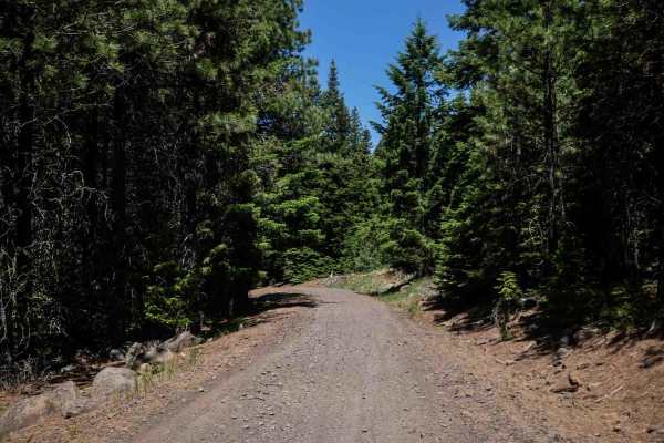
576F
Trail 576F begins at the staging area and runs for 1.3 miles as a wide, gravelly trail with small rocks and a smooth, gradual incline. It's more like an old road. It provides an easy and direct connection to other trails by continuing onto Trail 576G, making it a key access route from the main parki...
Learn more about 576F
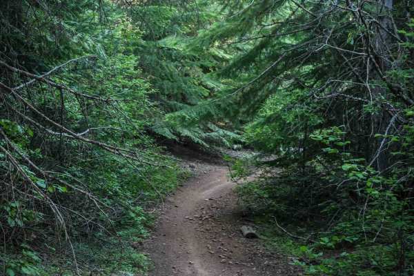
576D
Trail 576D is a short connector route, under half a mile long, linking trails 576A and 576. This narrow two-track trail runs through dense woods with numerous sharp curves and windy sections. The surface is mostly smooth dirt with no obstacles and only a few rocks, offering a very easy passage, alth...
Learn more about 576D
Beginner ATV trails near Antelope, Oregon
Explore ATV-friendly trails near you. These trails are accessible for vehicles up to 50 inches wide, perfect for ATVs and smaller off-road machines.
Summit Road NF2630
This route transports travelers from Highway 26 north of Prineville Oregon into the middle of the Ochoco National Forest. Along the way you'll find yourself navigating well-groomed forest service roads, fairly narrow and rocky road surfaces and a few small obstacles. You'll be rewarded with wonderfu...
Learn more about Summit Road NF2630
Wildcat Mountain Trail - FS 3350
Trail begins extremely easy and predominately a mix of gravel and dirt for the first half of the trail. Gets narrow near the summit around 80-90in wide with a height limit of around 8ft due to fallen trees and overhang. There is a publicly accessible gate near the top of the mountain that is a littl...
Learn more about Wildcat Mountain Trail - FS 3350
587
Trail 587 is a short trail under half a mile long that descends from 596, starting easy and widening through forested areas. The north end features downed logs near the entrance to a burn area, which could significantly increase the difficulty. The trail passes through scenic Douglas fir forests and...
Learn more about 587
OHV Trail #10
OHV Trail #10 is an easy 6.5-mile loop through sagebrush and juniper. Expect mostly hard-packed dirt with scattered embedded rocks, low rock ledges, and one short hill climb. Open to dirt bikes and ATVs (under 50" and 800 pounds) only, this scenic trail is well suited for beginner and intermediate r...
Learn more about OHV Trail #10
Beginner UTV/side-by-side trails near Antelope, Oregon
Find UTV and side-by-side trails near you. These trails accommodate vehicles up to 60 inches wide, ideal for UTVs, side-by-sides, and wider off-road rigs.
Summit Road NF2630
This route transports travelers from Highway 26 north of Prineville Oregon into the middle of the Ochoco National Forest. Along the way you'll find yourself navigating well-groomed forest service roads, fairly narrow and rocky road surfaces and a few small obstacles. You'll be rewarded with wonderfu...
Learn more about Summit Road NF2630
Wildcat Mountain Trail - FS 3350
Trail begins extremely easy and predominately a mix of gravel and dirt for the first half of the trail. Gets narrow near the summit around 80-90in wide with a height limit of around 8ft due to fallen trees and overhang. There is a publicly accessible gate near the top of the mountain that is a littl...
Learn more about Wildcat Mountain Trail - FS 3350
The Old Western Route - FS 21
The Old Western Route is a 13.9-mile point-to-point gravel road connecting the west end of Wheeler Point with the Heppner-Spray Highway. Although the road appears to continue west to the town of Fossil, a private gate is located several hundred yards west of this route's western end. The road surfac...
Learn more about The Old Western Route - FS 21
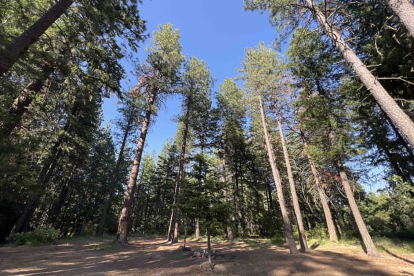
Rock Creek - 4811
Embark on this 15-mile journey through the eastern section of the 1.1-million-acre Mount Hood National Forest. You begin right off of Wamic Road which is paved. You start a steady climb up this washboard, pothole road where you will find beautiful scenic views of the Cascade Mountains and Tygh Valle...
Learn more about Rock Creek - 4811
The onX Offroad Difference
onX Offroad combines trail photos, descriptions, difficulty ratings, width restrictions, seasonality, and more in a user-friendly interface. Available on all devices, with offline access and full compatibility with CarPlay and Android Auto. Discover what you're missing today!
Open Trail Map