
Offline Maps for Waterfowl Hunting
Use case examples to help you get the most out of Offline Maps.
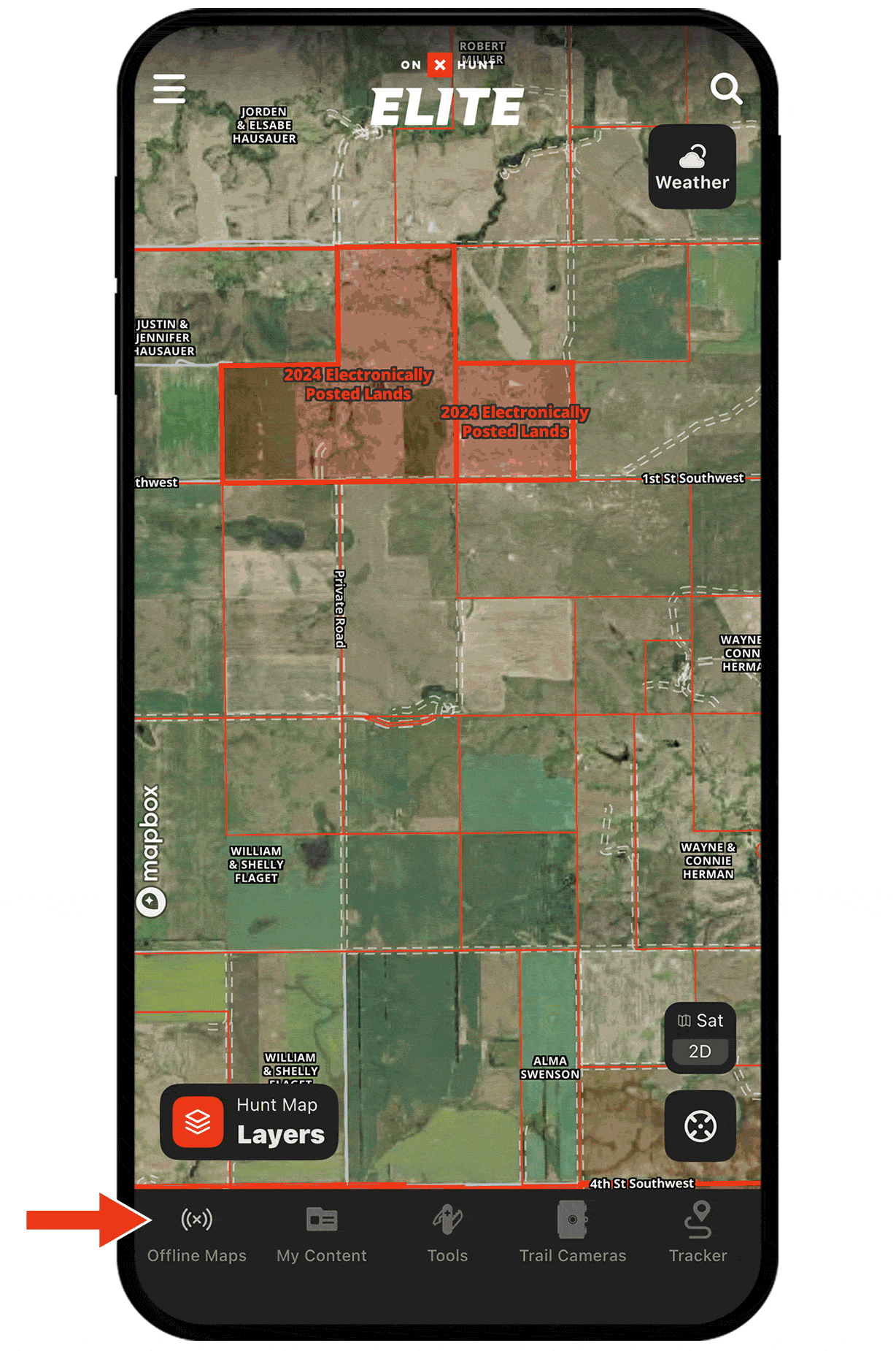
See property boundaries in spotty coverage.
Save as many maps as your phone storage allows and choose from multiple resolutions to fit your needs.
By downloading Offline Maps, you’ll be able to access landowner information and boundaries if birds pile onto private property.
Offline Maps Tutorial
Check out the tutorial to learn how to create, download, and sync Offline Maps.
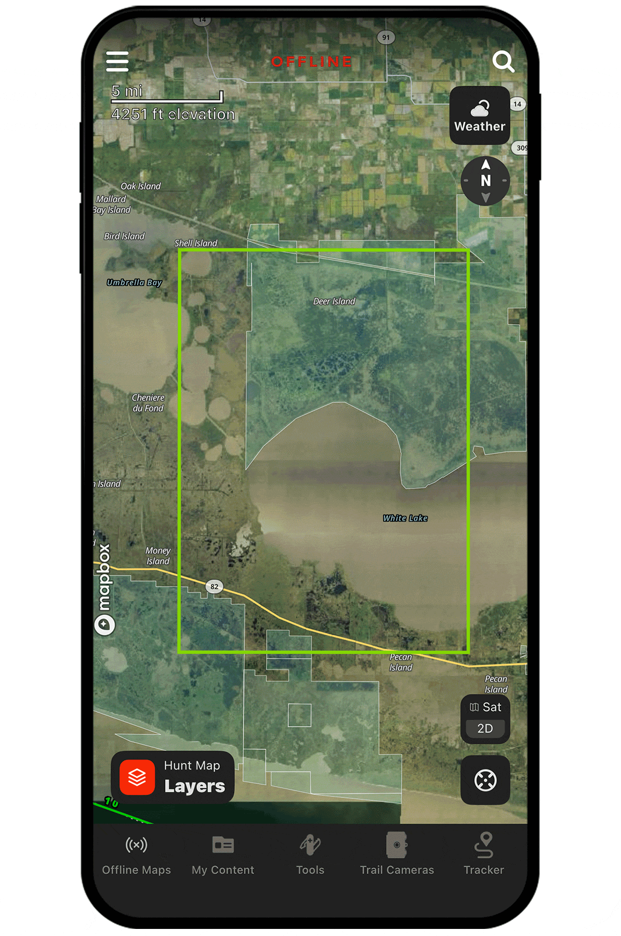
Navigate remote waterways and marshes.
Download an Offline Map to see detailed visuals of wetlands, ponds, and rivers to safely navigate to and from your hunting spots without relying on connectivity.
Layer your Offline Maps.
Save storage while ensuring you have the detail you need. Start with a large, low-resolution map for broad coverage, then save smaller, high-resolution maps on top of it for key areas where detail matters most.
Download Offline Maps Today
Offline Maps are available to paid members. Purchase a Premium or Elite Membership for full access.