
Map Layers for Waterfowl Hunting
Use case examples to help you get the most out of your Map Layers.
Target flooded timber.
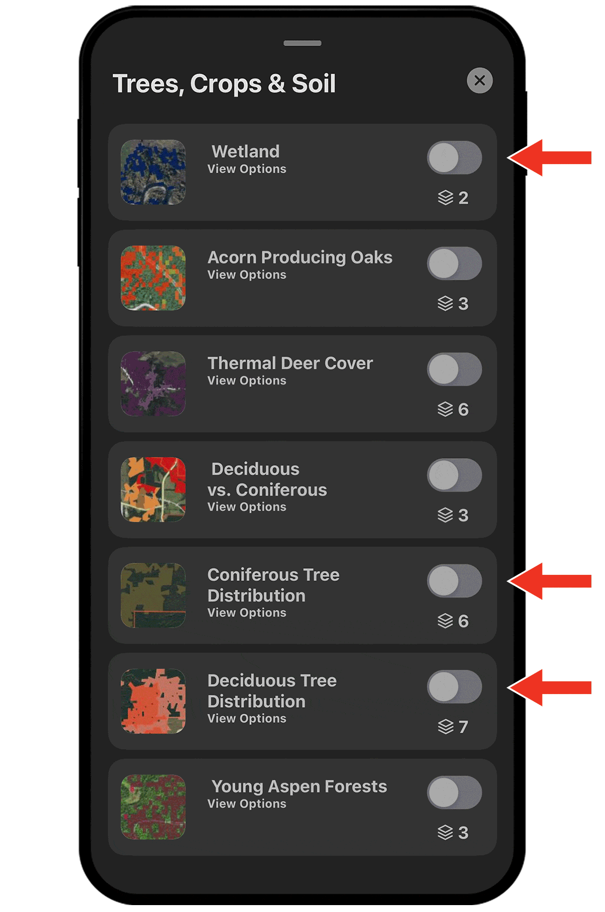
Waterfowl use forested wetlands for food and refuge. Use the Wetlands, Deciduous Tree Distribution, and Coniferous Tree Distribution Map Layers to find likely waterfowl hotspots.
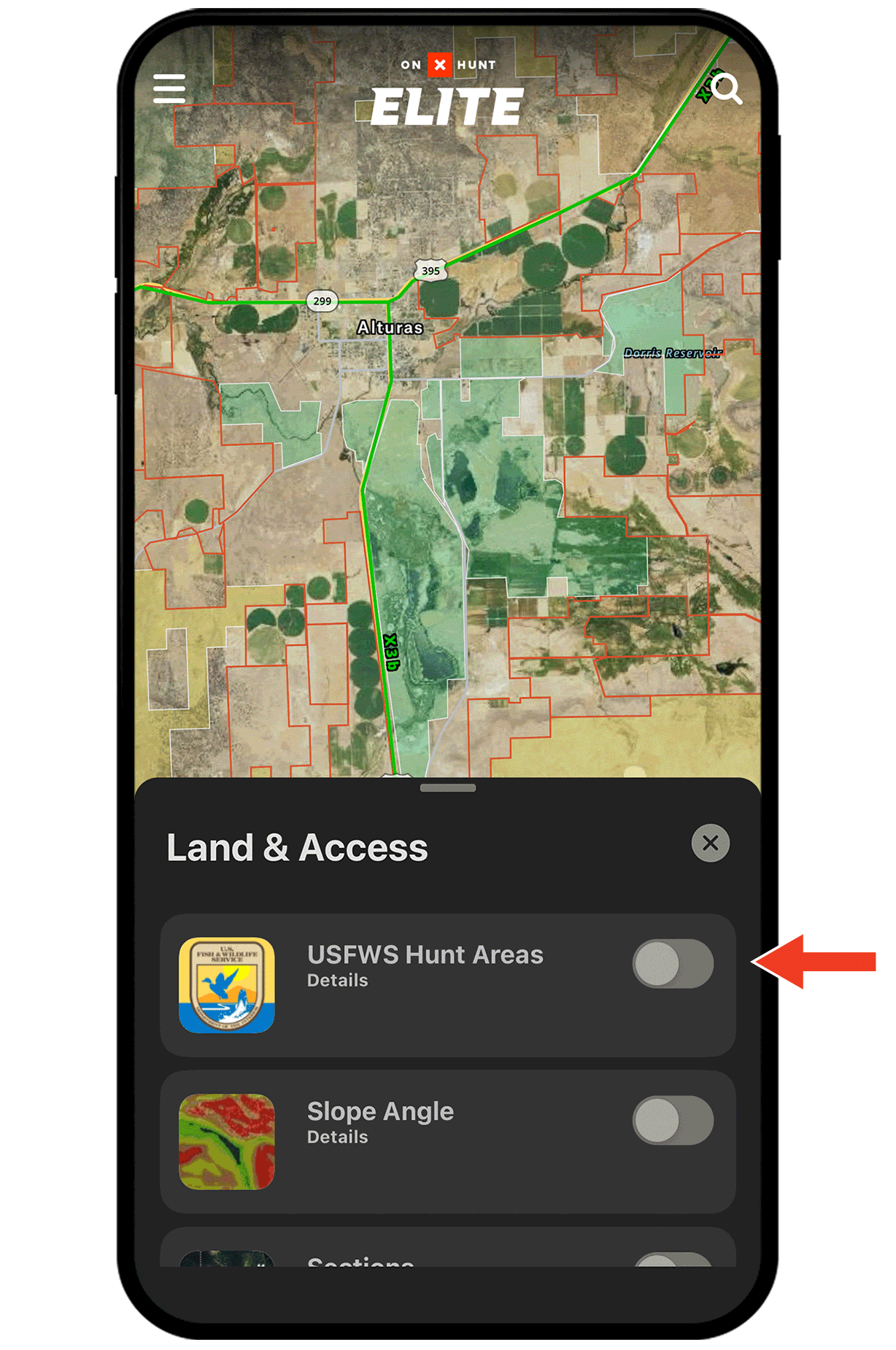
Find National Wildlife Refuges.
Turn on the USFWS Hunt Areas Map Layer to see boundaries for waterfowl production areas and refuges, along with information about which areas are open (highlighted in green) and closed (highlighted in red) to hunting.
Turning Map Layers on and off.
Map Layers are found under Hunt Map Layers in the lower left corner and are organized into categories. For example, the tree-related layers are under Trees, Crops, and Soil, while the USFWS Hunt Areas are found under Land & Access.
Tap the toggle next to a Map Layer’s name to turn that layer on (green) or off (grey).
Check out the full Map Layers tutorial for more.