
Lidar for Waterfowl Hunting
Use case examples to help you get the most out of Lidar Maps.
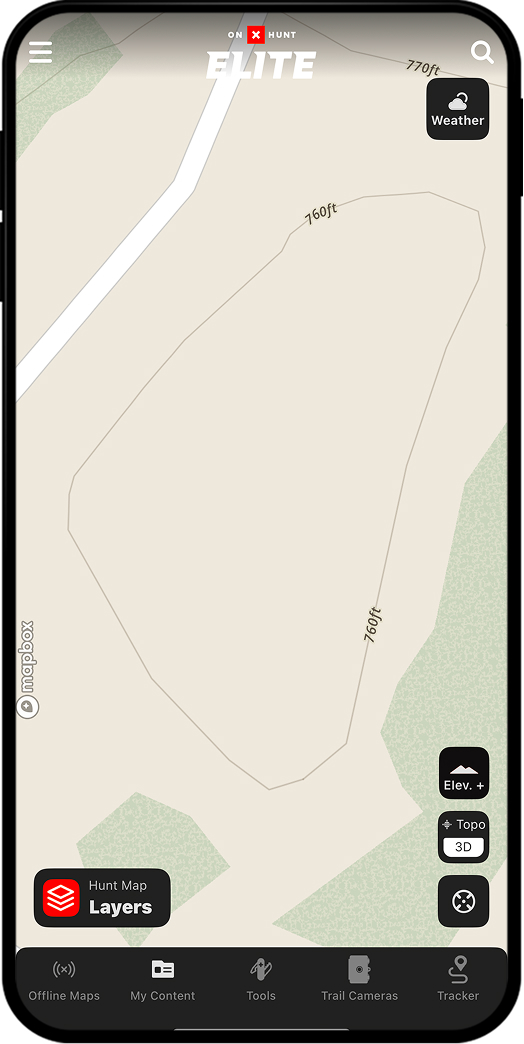
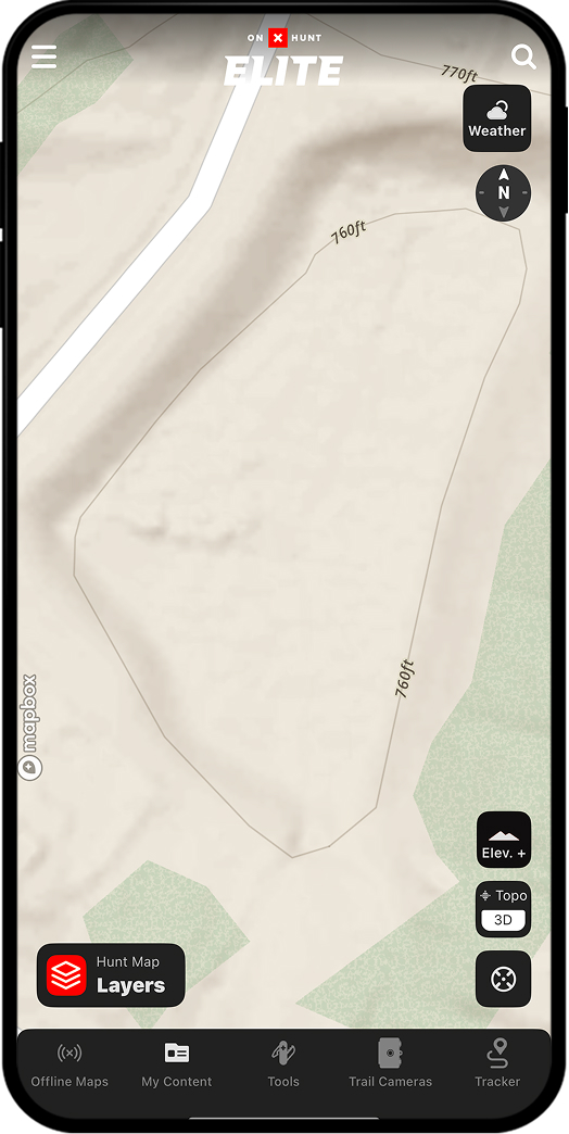
Locate seasonally flooded areas.
Lidar reveals low-lying depressions and sloughs not easily visible via aerial imagery—especially in areas with thick vegetation or where water tends to pool seasonally.
Without Lidar
With Lidar
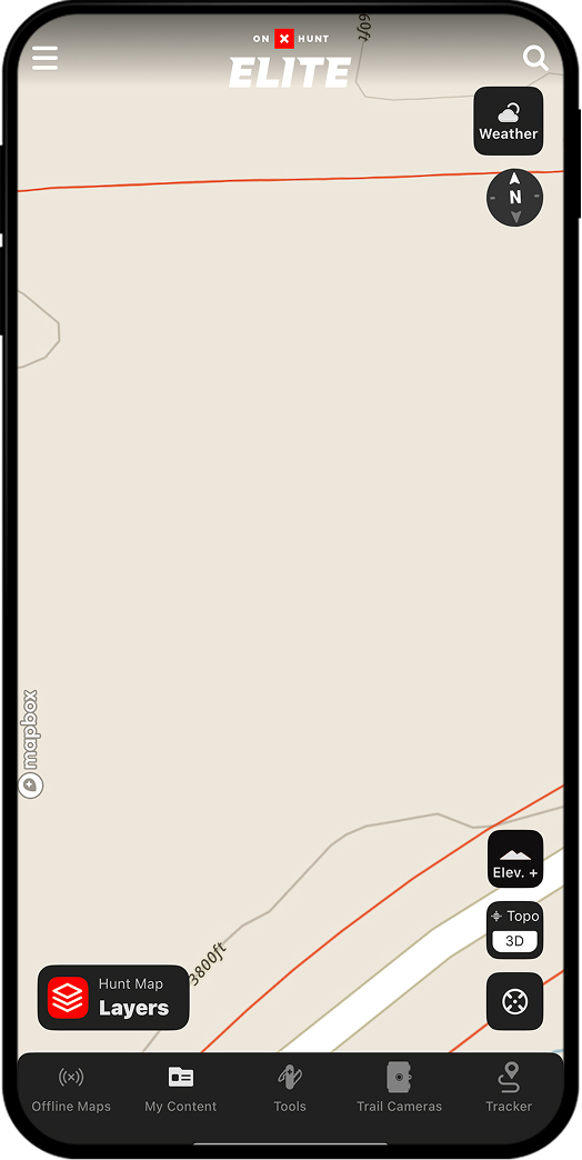
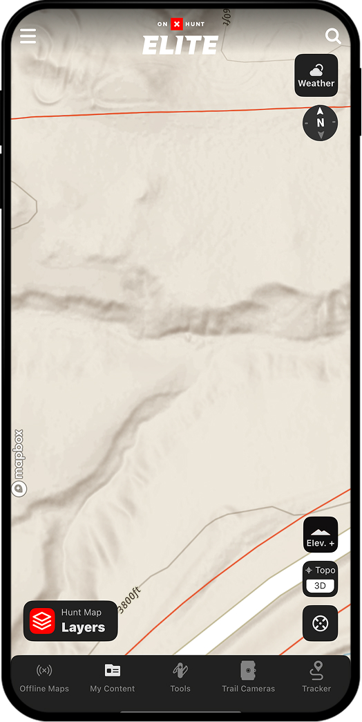
Improve your hide.
Because Lidar maps out the ground in fine-grain detail, you can use it to detect even the smallest undulations in fields that will optimize your layout blind setups.
Without Lidar
With Lidar
Unlock Lidar Today
Lidar is available to Elite Members.