3D Maps for Waterfowl Hunting
Use case examples to help you get the most out of 3D Maps and 3D Exaggeration.
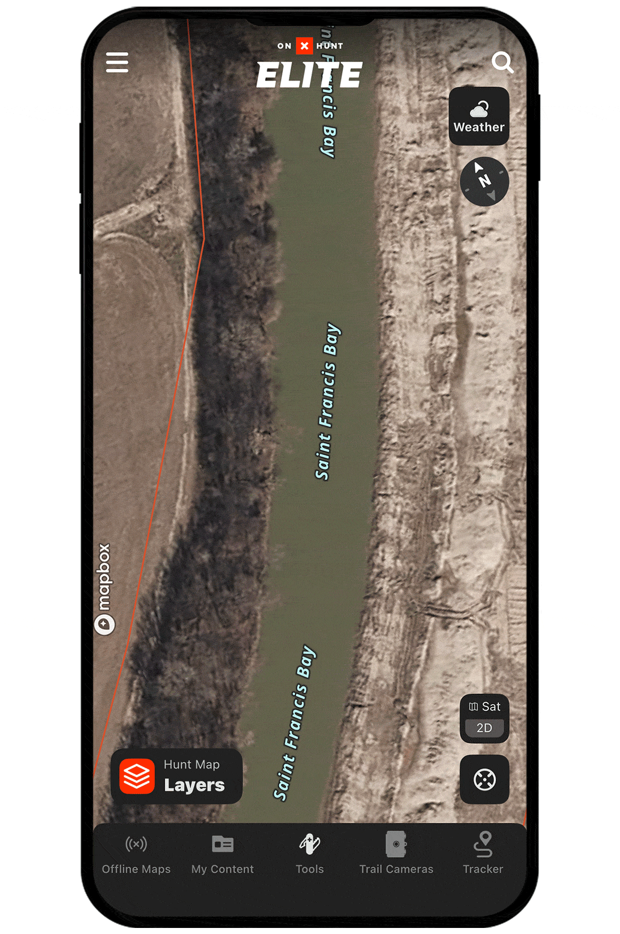
Understand river channel layouts.
3D Maps allow you to fly over an area like you’re there. Use 3D to visualize how rivers wind through the landscape, including side channels, sloughs, and other features that influence bird movement and can help you choose ideal setups.
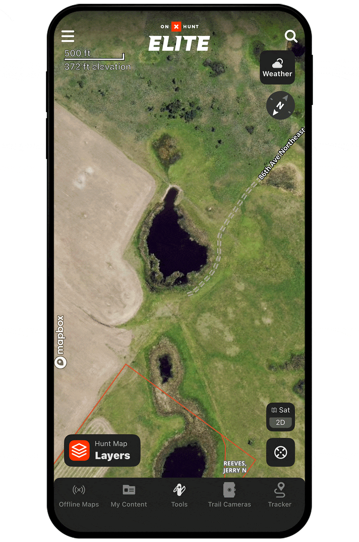
Find depressions for field hunts.
3D exaggeration makes it easy to spot undulations in a field, and depressions can offer good spots for layout blinds.
Unlock 3D Maps
Purchase a Premium or Elite Membership for full access.