Near Purple Trail
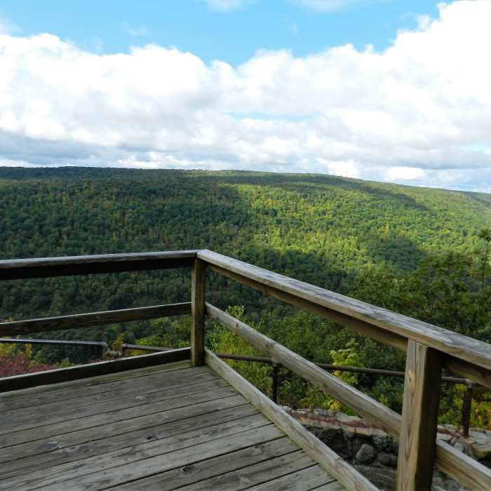
Jump off platform on the Finger Lakes Trail in Ontario County Park.

Looking for more photos?

View All Photos
View Map
Driving Directions
Hike Trail

Purple Trail

4.0 (1 Rating)
Some rocks, some roots, plenty of smooth - Purple is just plain good trail.
0.9
mi
Distance
96
ft
Gain
moderate
Difficulty

Route Details

Flatter
Steeper
0.93mi
Distance
96ft
Elevation Gain
64ft
Elevation Loss
10%
Max Grade
2,193ft
High Point
2,136ft
Low Point
Path Type
Point to Point
Description
Located in a (slightly) flatter part of the park, the Purple Trail is just good plain Finger Lakes singletrack. There are no sustained climbs or descents, but there's plenty of rolling smooth trail. Laid out as a "loop with a tail", Purple can be accessed at various points from Yellow Trail and Red Trail. A popular option is to loop through Purple on the way to the Red Trail from the west leg of Yellow Trail. As with most trails in OCP, Purple is equally good in either direction, so try it both ways.

Route Conditions

Report Conditions
No Condition Reports
Report Conditions

Nearby Hike Routes

Wesley Hill Loop

Hike Route

Wesley Hill Loop

moderate
4.93 mi
+1,006 ft
Britstol Hills - High Tor Loop

Hike Route

Britstol Hills - High Tor Loop

strenuous
9.45 mi
+1,771 ft
Harriet Hollister Spencer State Park

Hike Route

Harriet Hollister Spencer State Park

moderate
4.89 mi
+788 ft
Grimes Glen Park

Hike Route

Grimes Glen Park

Dogs Allowed
easy
1.07 mi
+114 ft
Conesus Inlet

Hike Route

Conesus Inlet

easy
2.15 mi
+0 ft
Inner Pond and East Pond

Hike Route

Inner Pond and East Pond

easy
2.45 mi
+165 ft
Contributors
Aaron Caveglia
