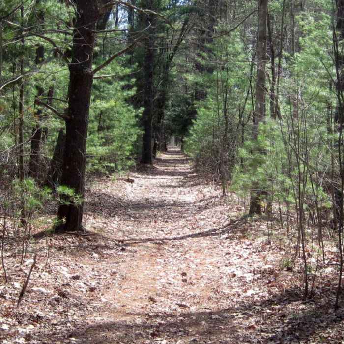
Near Nashua River Loop
Nashua River Trail

Looking for more photos?

View All Photos
View Map
Driving Directions
Hike Trail

Nashua River Loop

4.0 (1 Rating)
A loop along part of the Nashua River.
2.9
mi
Distance
284
ft
Gain
moderate
Difficulty
BirdingFall ColorsRiver/CreekViewsWildflowersWildlife

Route Details

Flatter
Steeper
2.9mi
Distance
284ft
Elevation Gain
284ft
Elevation Loss
25%
Max Grade
367ft
High Point
241ft
Low Point
Path Type
Loop
Description
The Nashua River begins at the base of the dam in Clinton and travels 37.5 miles north eventually emptying into the Merrimack river. 40% of this loop follows along side the river with a portion running through the Clinton Bluff Natural Heritage Area. Heading east on Water Street, the parking area is just after the bridge on the left. There is a private house there but the dirt area to the left is town property and can be used to park. You could also park on Vale Street and cross the street to the trailhead.

Route Conditions

Report Conditions
No Condition Reports
Report Conditions

Nearby Hike Routes

Gates Pond Loop Trail

Hike Route

Gates Pond Loop Trail

Fishing
easy
2.49 mi
+71 ft
Mount Pisgah Loop

Hike Route

Mount Pisgah Loop

Scenic
easy
2.3 mi
+169 ft
Danforth Falls Loop Trail

Hike Route

Danforth Falls Loop Trail

Family Friendly
easy
1.19 mi
+206 ft
Nashua River and Oxbow Loop

Hike Route

Nashua River and Oxbow Loop

Birding
easy
1.95 mi
+31 ft
Fruitlands Museum Loop

Hike Route

Fruitlands Museum Loop

Birding
easy
2.04 mi
+213 ft
Cold Harbor Trail

Hike Route

Cold Harbor Trail

Dogs Allowed
easy
1.34 mi
+13 ft
Contributors
Raymond Stowell
