
Near The Long Trail (Division 12)
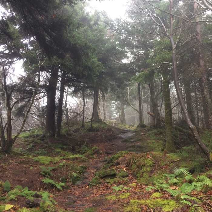
Misty ridgeway trail.
Near The Long Trail (Division 12)
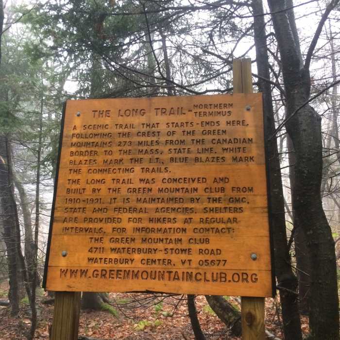
This is either the last or the first sign you'll see if you're hiking the Long Trail (LT).
Near The Long Trail (Division 12)
Snake
Near The Long Trail (Division 12)
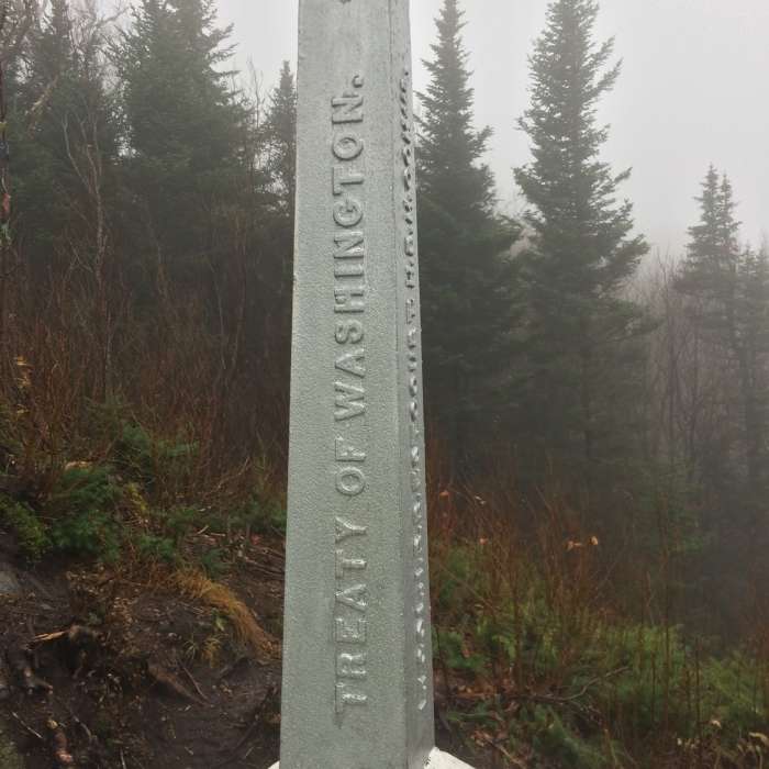
Vermont/ Canada Boundary Marker
Near The Long Trail (Division 12)
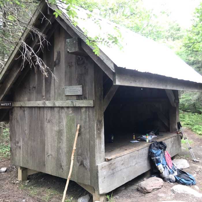
Laura Woodward Shelter (built 1956/ rebuilt 2001)

Looking for more photos?

View All Photos
View Map
Driving Directions
Classic Hike Route
Buy Now View in 3D

The Long Trail (Division 12)

5.0 (1 Rating)
This section of the Long Trail runs from Tillotson Camp to the northern terminus of the Long Trail.
20.8
mi
Distance
7,887
ft
Gain
strenuous
Difficulty
Regional Classic
A must do route for the area handpicked by local experts.
BirdingCaveCommonly BackpackedHistoricalRiver/CreekViewsWildlife

Route Details

Flatter
Steeper
20.77mi
Distance
7,887ft
Elevation Gain
8,405ft
Elevation Loss
35%
Max Grade
3,856ft
High Point
1,672ft
Low Point
Path Type
Point to Point
Description
This section starts at Tillotson Camp and traverses the mountains to Hazen's Notch Camp. The trail traverses more mountains before coming out at Route 242. The trail climbs a short distance, before reaching Jay Camp. Jay Camp has a 4-sided cabin and a tent platform. It climbs up to Jay Peak, then descends along the northern ridgeline to Laura Woodward Shelter. The trail traverses more mountains to Shooting Star Shelter. While there is a water pump at Shooting Star, the water has a heavy iron taste to it. Water is limited along these stretches, so make sure to fill up where you can. Shooting Star is the last shelter on the long trail. The trail continues to Route 105, then turns right from the parking area. The trail crosses over VT Corridor 120, before reaching the Carleton Mountain Lookout. Continue following the ridge until you reach a sign for the northern terminus of The Long Trail. As the trail crosses out into the open, you'll see a small monument that marks the boundary of the United States and Canada. For those hiking SOBO, your journey is just beginning. For those hiking NOBO, congratulations on completing the Long Trail.

Route Conditions

Report Conditions
No Condition Reports
Report Conditions

Nearby Hike Routes

Tillotson-Belvidere Loop

Hike Route

Tillotson-Belvidere Loop

strenuous
8.39 mi
+2,662 ft
Belvidere to Tillotson

Hike Route

Belvidere to Tillotson

strenuous
8.01 mi
+2,847 ft
Devil's Gulch

Hike Route

Devil's Gulch

moderate
4.29 mi
+1,012 ft
Belvidere Mountain

Hike Route

Belvidere Mountain

Less Crowded
moderate
2.53 mi
+2,101 ft
Hazen's Notch to Buchanan Mountain

Hike Route

Hazen's Notch to Buchanan Mountain

strenuous
7.17 mi
+2,488 ft
Hazen's Notch to Haystack Mountain

Hike Route

Hazen's Notch to Haystack Mountain

moderate
3.29 mi
+1,594 ft
Contributors
David Smith
