Ready to explore this trail?
View Trail Map in AppPath Type
Point to Point
This section starts from Mad Tom Notch and travels over Peru Peak. *Be sure to pack ample water, since the water pump has recently been removed. In a short distance from the road, the trail passes into the Peru Peak Wilderness. It travels a somewhat remote section until it exits the wilderness, just before Peru Peak Shelter.
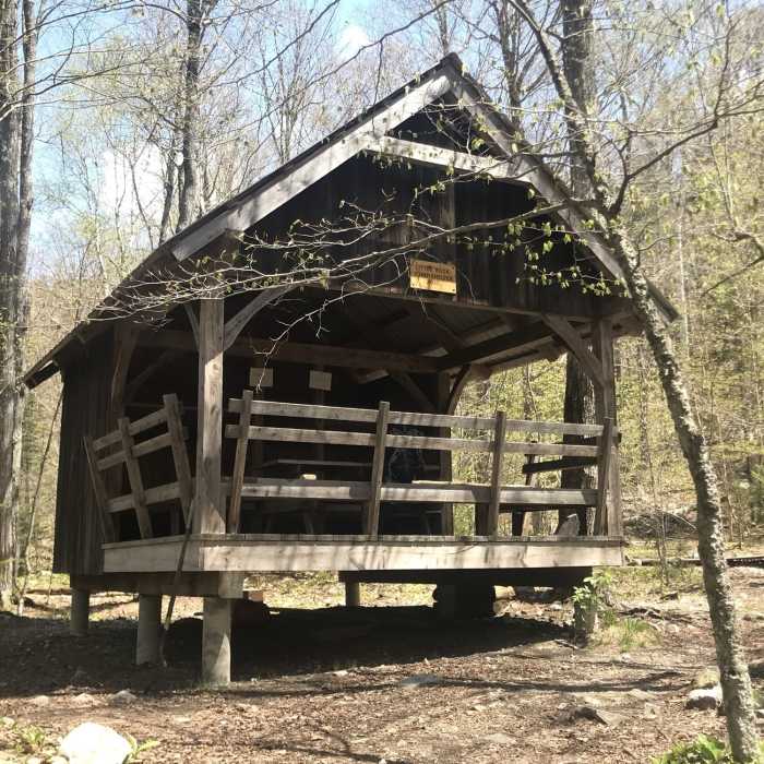
At the north end of Griffith Lake, the trail enters the Big Branch Wilderness. It travels moderately until it comes out to Baker Peak. There's an option to take the Bad Weather Bypass, which skips the open rocks to the summit. It continues to Lost Pond Shelter (on the left). *The shelter that's here, now, is the third shelter that's been built (since the others burned down).
The trail travels through the valley down to the Big Branch River, where it crosses a large suspension bridge. Shortly after crossing over the bridge, the trail reaches the Big Branch Shelter. With the river down below, this shelter offers a great place for a dip.
It travels moderately to Forest Road 10 and exits the Big Branch Wilderness. It climbs through the valley up to Little Rock Pond and shelter. This is a great shelter, though it offers little wind resistance during the winter.
It ascends as it makes its way to White Rocks. Here, there is a small spur (on the left) that will take you to an excellent view. The trail continues to Greenwall Shelter. The water source, at the shelter, is often unreliable, but there is plenty of water just past Keewaydin Trail.
The trail descends until it comes out at Route 140.
No Condition Reports
Contributors

