Ready to explore this trail?
View Trail Map in AppPath Type
Point to Point
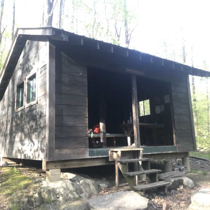
This section starts at Route 140, just beneath Bear Mountain. It climbs up to Bear Mountain, passing by a small vista trail. Shortly after passing through Patch Hollow, the trail reaches an awesome spring with ice cold water. The trail descends down to Minerva Hinchey Shelter. This shelter is plagued with porcupines that may visit you in your sleeping bag. The porcupines also come to the shelter to feed on the earthworms that hide beneath the leaf litter. Stick to the white blazes, here, since there are many other little trails.
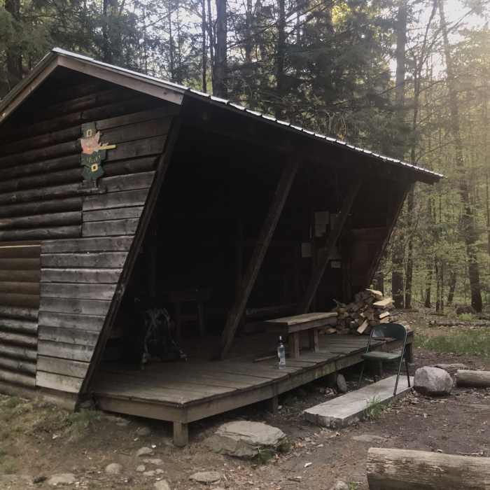
The trail follows a rocky ridge to Airport Lookout, where there are excellent views west. The trail descends down to Clarendon Gorge and crosses over the bridge. If it's a hot summer day, it would be wise to fill up on water before pushing on. From Route 103, the trail climbs a series of stone stairs up to Clarendon Shelter. Clarendon Shelter is a nice shelter located in a grassy grove.
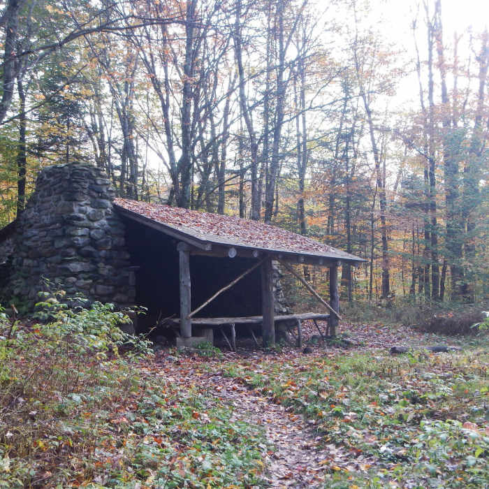
From Clarendon Shelter, the trail climbs to the top of a hill, then crosses over Lottery Road. In a short distance from Lottery Road, there's a small spring (on the right). After crossing over Upper Cold River Road, the trail travels through an area where portions have been re-located. These re-locations are due to landslides, though one section takes you right along the edge of one of the landslides. The trail continues moderately to Governor Clement Shelter. Governor Clement Shelter is a good place to stay if winter weather is encroaching since it has a fireplace.
From here, the trail follows an old road, then turns onto a singletrack up to Killington Peak. The trail doesn't actually go over the summit of Killington, so you'll have to take a short sidetrip to bag this 4,000 footer. While Cooper Lodge is still open to Thru-hikers, the lodge is drafty since all the windows are broken. It's still unclear if the AMC/ GMC intend to remove this shelter.
Following the trail north will take you to Churchill Scott Shelter. Churchill Scott Shelter is a good stopping point if you intend to re-supply in Rutland. The trail descends to Route 4, where division 5 ends.
No Condition Reports
Contributors

