Near Grasslands Trail
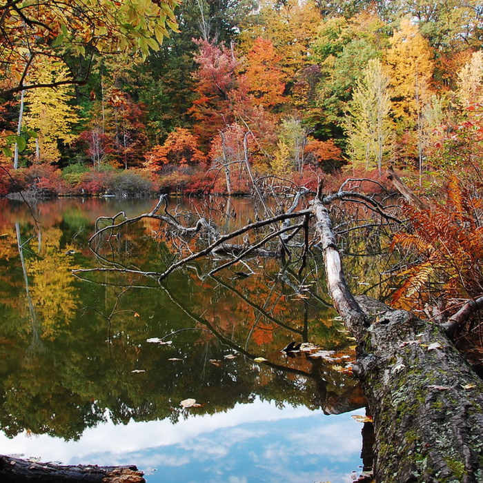
Devils Bathtub with autumn colors.
Near Grasslands Trail
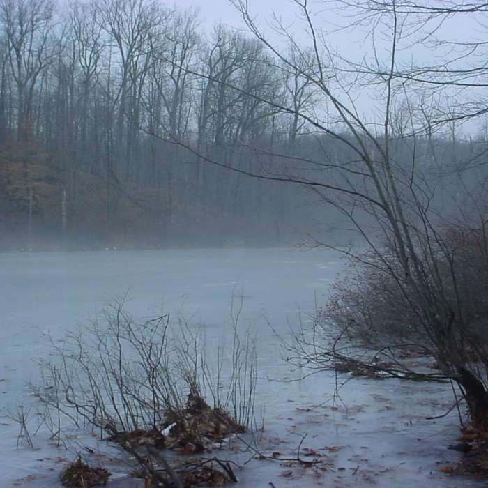
Devil's Bathtub.
Near Grasslands Trail
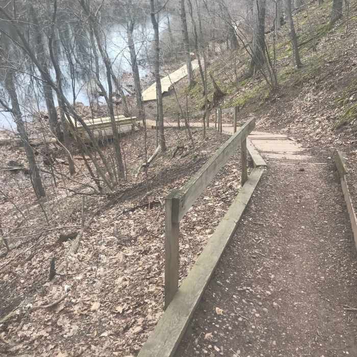
Path down to Devil's Bathtub.
Near Grasslands Trail
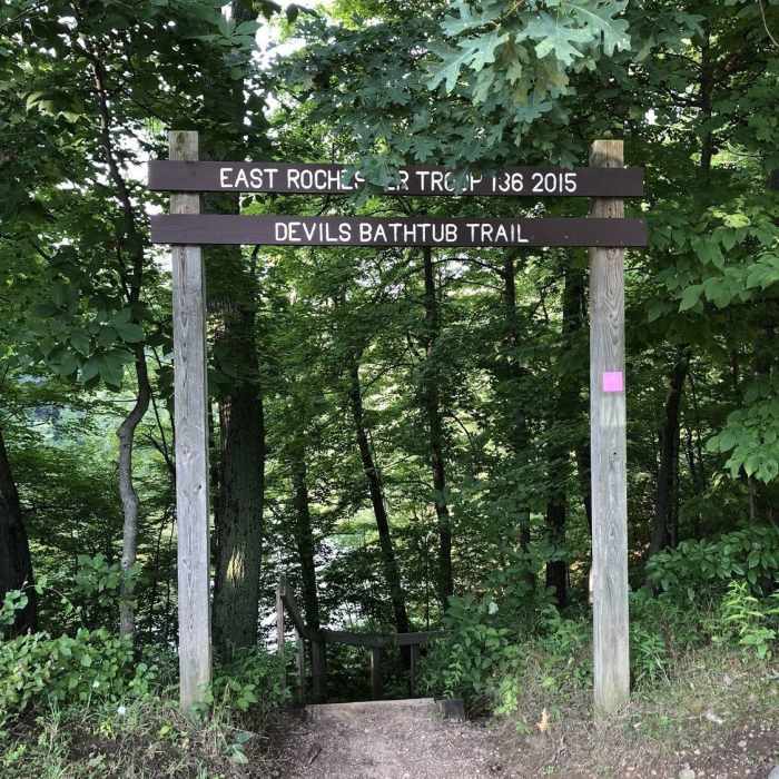
The trailhead to Devil's Bathtub, which is at the top of a staircase leading down into the basin.

Looking for more photos?

View All Photos
Driving Directions
Hike Trail

Grasslands Trail

4.0 (1 Rating)
A wide, grassy trail circuit with easy slopes and alternative offshoot trails.
1.8
mi
Distance
104
ft
Gain
moderate
Difficulty
Wildflowers

Route Details

Flatter
Steeper
1.81mi
Distance
104ft
Elevation Gain
104ft
Elevation Loss
10%
Max Grade
741ft
High Point
679ft
Low Point
Path Type
Point to Point
Description
Most of the trail is on mown grass amid a field of overgrowth with few trees. Many connector trails provide opportunities for extending or shortening the route. Where there are trees, the main route is marked with blue trail blazes. On the south end, there are multiple trails cutting to Pond Road where the hiker can jump to other trails in the park. Although the slopes are gentle with footing soft, the summer grass and sun can be deceptively challenging. In the winter, snow can also turn the trail into difficult terrain.

Route Conditions

Report Conditions
No Condition Reports
Report Conditions

Nearby Hike Routes

Birdsong and Swamp Loop

Hike Route

Birdsong and Swamp Loop

easy
2.02 mi
+194 ft
Sibleyville Nature Reserve Upper and Lower Loop

Hike Route

Sibleyville Nature Reserve Upper and Lower Loop

easy
1.43 mi
+117 ft
Corbett's Glen

Hike Route

Corbett's Glen

Birding
moderate
2.23 mi
+236 ft
Mark Tubbs Pond

Hike Route

Mark Tubbs Pond

easy
1.36 mi
+31 ft
Fisherman's, West Pond, East Pond and Eagle

Hike Route

Fisherman's, West Pond, East Pond and Eagle

easy
3.15 mi
+198 ft
Inner Pond and East Pond

Hike Route

Inner Pond and East Pond

easy
2.45 mi
+165 ft
Contributors
Sophie Kotok
