Near The Long Trail (Division 6)
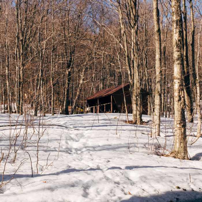
David Logan Shelter
Near The Long Trail (Division 6)
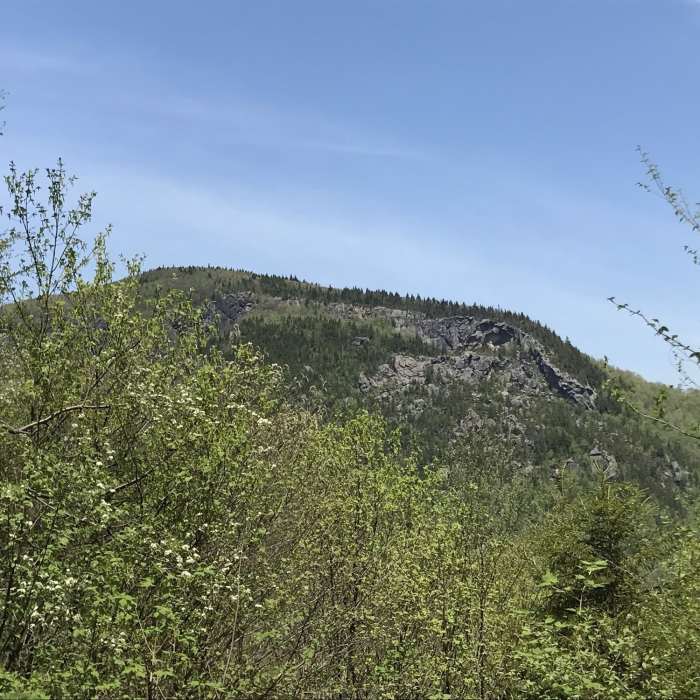
View of the Great Cliffs.
Near The Long Trail (Division 6)
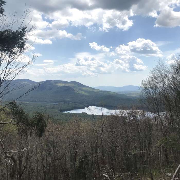
View of Chittenden Reservoir.
Near The Long Trail (Division 6)
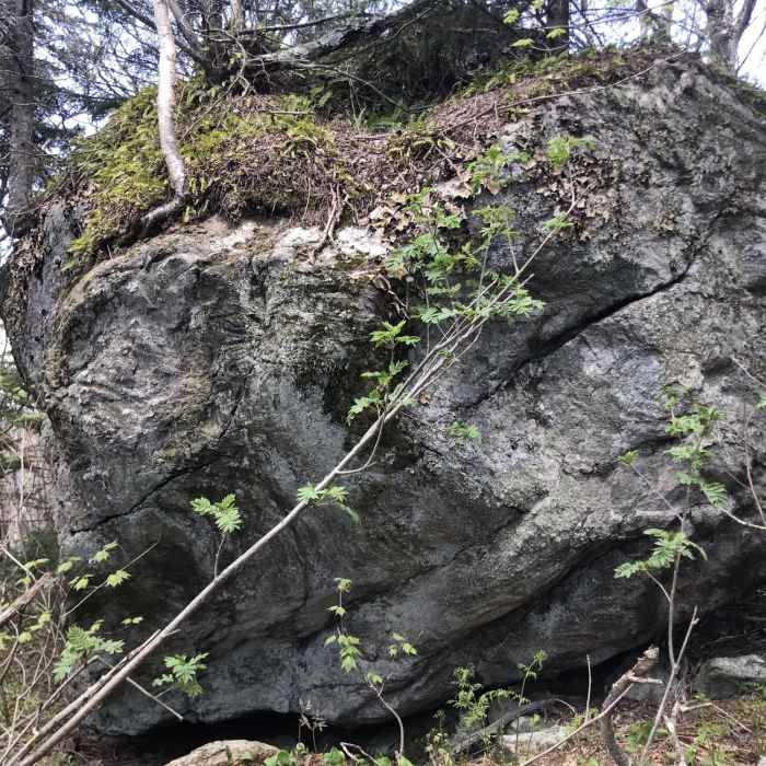
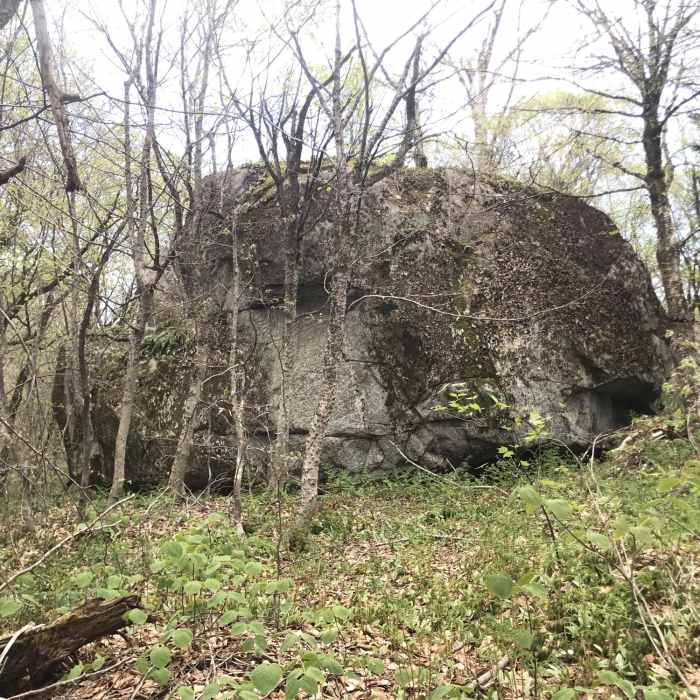
Big Boulder
Near The Long Trail (Division 6)
Big Boulder

Looking for more photos?

View All Photos
View Map
Driving Directions
Classic Hike Route
Buy Now View in 3D

The Long Trail (Division 6)

4.0 (1 Rating)
This division of The Long Trail runs from Route 4 to Brandon Gap.
19.6
mi
Distance
3,600
ft
Gain
moderate
Difficulty
Regional Classic
A must do route for the area handpicked by local experts.
BirdingCommonly BackpackedViewsWildlife

Route Details

Flatter
Steeper
19.55mi
Distance
3,600ft
Elevation Gain
3,317ft
Elevation Loss
35%
Max Grade
3,152ft
High Point
1,863ft
Low Point
Path Type
Point to Point
Description
This section begins at Route 4 and arcs around to Maine Junction at Willard Gap. Here, the Long Trail splits from the AT and heads north to Canada. In 0.4 miles from Willard Gap, you'll arrive at Tucker Johnson Shelter. This is the first shelter that is solely on the Long Trail. The trail travels moderately to Rolston Rest Shelter. The privy and water source are north along the trail, here. The trail climbs up to the top of the mountains and skirts the summits and mountain slopes to David Logan Shelter. In a short distance from the shelter, there's a small sidetrail to the summit of Mount Carmel. Keep following the trail north through Wetmore and Bloodroot Gap. The trail turns into more of a snowmobile grade before arriving at Sunrise Shelter. Division 6 continues on to Route 73, at Brandon Gap.

Route Conditions

Report Conditions
No Condition Reports
Report Conditions

Nearby Hike Routes

Deer Leap Overlook

Hike Route

Deer Leap Overlook

Birding
moderate
1.87 mi
+561 ft
Deer Leap Loop

Hike Route

Deer Leap Loop

moderate
3.06 mi
+1,025 ft
Pico Peak via Sherburne Pass Trail

Hike Route

Pico Peak via Sherburne Pass Trail

Birding
strenuous
5.41 mi
+1,804 ft
Sherburne Loop

Hike Route

Sherburne Loop

strenuous
7.18 mi
+1,866 ft
Pesky Cairn

Hike Route

Pesky Cairn

easy
3.81 mi
+377 ft
Kent Brook Loop

Hike Route

Kent Brook Loop

easy
1.4 mi
+232 ft
Contributors
David Smith
