

Ready to explore this trail?
View Trail Map in AppRegional Classic
A must do route for the area handpicked by local experts.
While passenger vehicles can typically access the lower sections of the road, a high-clearance, four-wheel-drive vehicle is recommended to reach the upper trailhead at 10,400 feet. A significant portion of the route through Silver Pick Basin crosses private land via a trail easement. Hikers must remain strictly on the designated trail to preserve public access.
No permits or fees are required for parking or hiking. Because the route enters the Lizard Head Wilderness, wilderness regulations apply.
Path Type
There and Back
The route begins and ends at the Rock of Ages trailhead (10,400'), and reaches the summit of Wilson Peak at 14,020'.
From the trailhead, hike south on the Rock of Ages Trail, staying left at an early junction. After a mile, turn left to climb out of Elk Creek Basin, then follow the trail northeast over the ridge into Silver Pick Basin near 11,400'. Stay on the signed road/trail up through the basin; near 12,100', the road bends left around a small hill to a dilapidated stone building. Beyond it, pick up a rugged trail on the left, follow it onto talus, and turn south toward the basin's steep headwall. Climb to the Rock of Ages saddle at 13,000'.
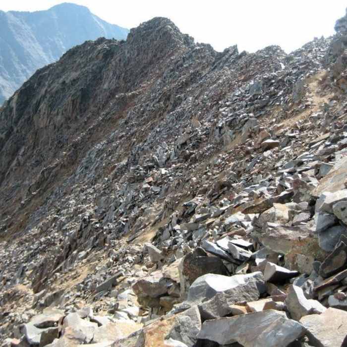
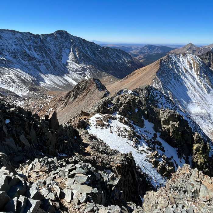
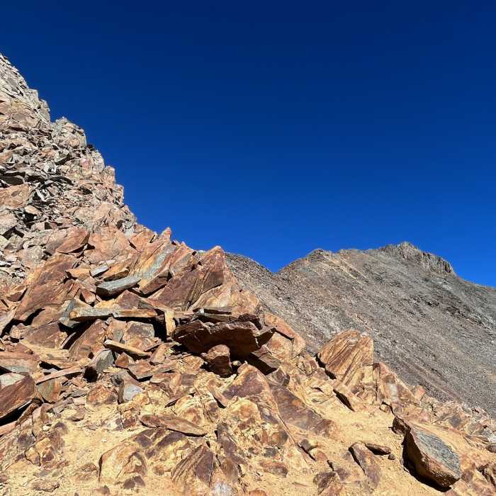
From the saddle, continue east across a loose, rugged slope to a smaller saddle between Wilson Peak and Gladstone Peak. Navigate around Gladstone's south side and climb to the southwest ridge, scrambling north through exposed slabs and ledges — an introduction to the summit pitch ahead. Follow cairns and trail up steepening, loose terrain to the ridge near 13,550', then climb the crest, mostly on its right side, to about 13,800', where the trail crosses to the ridge's left side and reaches a 13,900' false summit.
From there, traverse toward a prominent dark gash in the face without losing much elevation, downclimb about 50 feet, and scramble across stacked rocks and ledges.
Crux: Just before the gash, climb right to the ridge crest, turn left, and take the final Class 3 pitch to the 14,020' summit.
Retrace the route to the trailhead.
This summit can also be reached from Navajo basin; follow Navajo Trail to Navajo Lake (11,150'). From here, continue east along the north side of the basin, through brush and a rocky traverse, toward the upper end of Navajo Basin. Rather than continuing to Mount Wilson's turn-off, climb to about 12,300' in the basin's upper east end and pick up trail heading north, following it up to the Rock of Ages saddle at 13,000' — the same saddle used by the Rock of Ages approach from the other side.
Some Issues
Looking for more condition reports?
Sunshine Mesa to Navajo Basin Route
Sunshine Mesa to Navajo Basin Route
Mount Wilson North Slopes
Mount Wilson North Slopes
El Diente Peak North Slopes
El Diente Peak North Slopes
El Diente North Buttress
El Diente North Buttress
Wilson Group
Wilson Group
Mount Wilson and El Diente Traverse
Mount Wilson and El Diente Traverse
Contributors

