
Ready to explore this trail?
View Trail Map in AppRegional Classic
A must do route for the area handpicked by local experts.
Free, self-registration is required at the trailhead. The route enters the Lizard Head Wilderness, where dogs must be leashed and group sizes are limited. As of 2026, camping in Navajo Lake Basin is restricted to designated dispersed sites near the lake; arrive with a backup plan on busy weekends, since sites can fill.
Path Type
There and Back
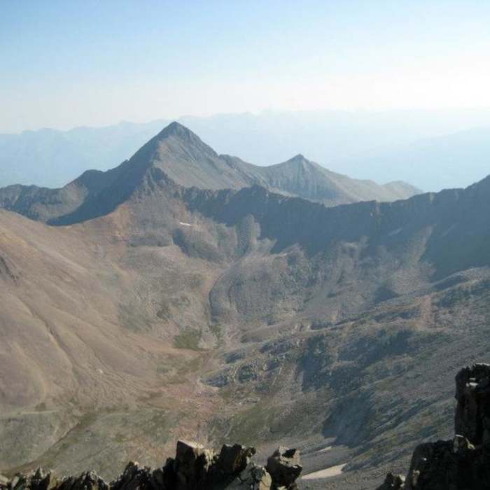
The route begins and ends at the Navajo Lake trailhead at 9,350 feet and reaches the summit of El Diente Peak.
From the trailhead, hike 0.25 miles to a junction and stay right, passing the Groundhog Trail. Continue through meadows and forest, crossing a bridge over the West Dolores River near 9,500 feet, and climb to a large meadow at 9,800 feet. Continue through alternating forest and meadow to 10,700 feet, then switchback up to 11,000 feet and traverse east to a junction with the Woods Lake Trail at about 4 miles; stay right. Reach Navajo Lake at 11,150 feet, roughly 4.5 miles in, where designated dispersed campsites are available.
Pass the lake on its left side and continue through brush, traversing the basin's north side. Near 12,000 feet, about 6.5 miles in, look right for El Diente's north slope route, identifiable by a long couloir topping out just below the ridge.
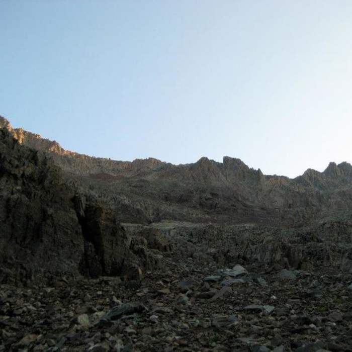
From the basin, hike south toward the base of the couloir, climbing Difficult Class 2 terrain on a rock-and-snow apron to the open area below it. Above 12,500 feet the terrain steepens as the couloir becomes obvious; continue above 13,000 feet into the defined couloir.
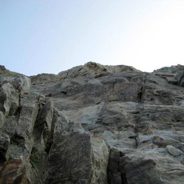
Crux: Above 13,200 feet, the couloir steepens further into a sustained pitch and carries a high risk of rockfall when free of snow — the point past which retreat gets harder if conditions turn. When the couloir holds stable, consolidated snow, an ice axe and crampons make for safer, faster travel; if it's bare, expect loose rock underfoot and overhead. Climb toward a headwall at the couloir's top. Near 13,650 feet, just below the headwall, turn right onto a rock-and-snow ramp, scramble up it, then turn left to a small saddle on the ridge crest near 13,900 feet.
From the saddle, stay on the ridge's south side rather than the crest — the easier line — and cross loose, gray rock toward the "Organ Pipes," a section of tall, smooth rock to your right. Scramble across mostly solid rock beneath the pipes to a narrow, chimney-like passage between parallel rocks; climb through it, then continue to a small gully that leads back to the ridge. Ascend the gully to a notch.
Cross to the ridge's north side and turn left. Traverse along the ridge's side toward a small notch, dropping slightly and scrambling to easier terrain just below it, then ascend to the notch itself. From here, climb the final pitch to the summit via a small dirt gully, or the rock just to its left.
Retrace the same route on the descent. The couloir is the most consequential section to downclimb: loose rock and any residual snow make it more hazardous heading down than climbing up, so move deliberately.
No Condition Reports
Mount Wilson North Slopes
Mount Wilson North Slopes
El Diente North Buttress
El Diente North Buttress
Wilson Group
Wilson Group
Mount Wilson and El Diente Traverse
Mount Wilson and El Diente Traverse
El Diente Peak South Slopes
El Diente Peak South Slopes
Mount Wilson Southwest Slopes
Mount Wilson Southwest Slopes
Contributors

