
Ready to explore this trail?
View Trail Map in AppRegional Classic
A must do route for the area handpicked by local experts.
Free self-registration is required at the trailhead kiosk. The route enters the Lizard Head Wilderness: dogs must be leashed, group sizes are limited, and campfire restrictions apply. Navajo Lake Basin allows only designated dispersed campsites as of 2026.
Path Type
There and Back
This is a mountaineering route requiring technical climbing to reach the summit, not just a strenuous hike. Nearly all of the buttress is Class 2-3 boulder scrambling, but the final pitch, just below the summit, demands one or two genuine Class 4 moves through steep, ten-foot chimneys with high exposure and considerable rockfall risk; a climbing helmet is strongly recommended for the entire upper half. See Climb Mode and Mountain Project for detailed technical beta before attempting this route.
The route begins and ends at the Navajo Lake trailhead at 9,350 feet and reaches the summit of El Diente Peak.
From the trailhead, hike 0.25 miles to a junction and stay right, passing the Groundhog Trail. Continue through meadows and forest, crossing a bridge over the West Dolores River near 9,500 feet, and climb to a large meadow at 9,800 feet. Continue through alternating forest and meadow to 10,700 feet, then switchback up to 11,000 feet and traverse east to a junction with the Woods Lake Trail at about 4 miles; stay right. Reach Navajo Lake at 11,150 feet, roughly 4.5 miles in.
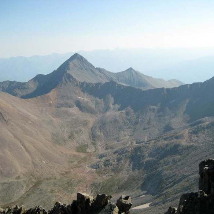
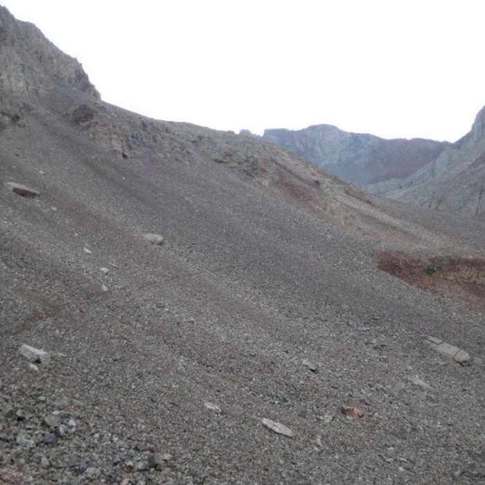
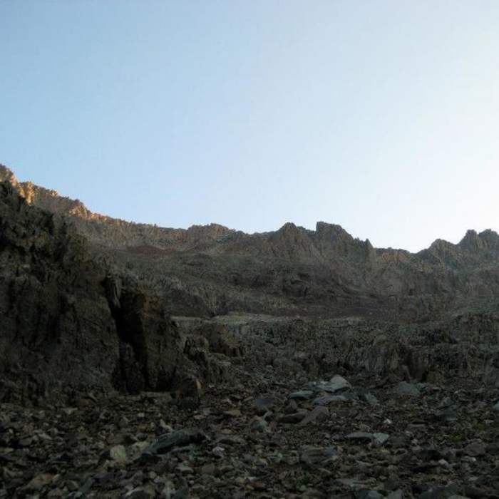
Pass the lake on its left side and continue on the trail as it contours well above the creek through talus slopes. Near 11,800 feet, about 6 miles in, the trail returns toward the creek at a grassy shoulder; leave the trail here and angle right (south) toward the North Buttress, visible as gray rock above the boulder field, with mining debris to its left.
The buttress divides into six sections separated by benches. The Boulder Field and Slabs are straightforward Class 2-3: hike boulders to the buttress's base, angle up the ridge, then climb gray slabs right of the crest to the first bench.
The Jumble, a large inclined boulder field, needs real route-finding (easier passage is usually right/west) and ends at the second bench. The Hump above looks steep but climbs easily on Class 2 ledges near the high point, reaching a third bench where the "V" snowfield comes into view.
From there, a short Class 3 passage on the left leads beside the "V" snowfield; regain the ridge crest and climb its spine, which narrows to an exposed, knife-edge catwalk. The catwalk ends atop a tower — bypass it via a ledge on the left to reach the fourth bench (a saddle).
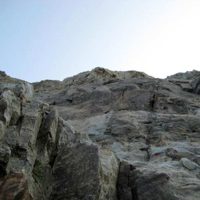
The Summit Pitch is the route's crux. From the saddle, hike over gravelly ledges, then scramble narrower ledges on gray slabs (Class 3) — or, for a more solid alternative, stay right of the slabs on firmer rock leading directly to the summit ridge. The standard line instead crosses a section with cliffs to the right, a drop-off toward a steep couloir on the left, and possibly a small snow patch above; several steep, ten-foot chimneys here — mostly solid rock — require one or two Class 4 moves. Above this crux, angle steeply uphill and right for 50 feet over gravel, mud, and looser rock (Class 3), the loosest section of the climb but a short one. The route then arrives atop the West Ridge, and an easy scramble along solid blocks leads to El Diente's high point at 14,175 feet.
Retrace the same route on the descent. The Summit Pitch chimneys and the knife-edge catwalk below the "V" are the most consequential sections to downclimb, given the exposure and loose rock; move deliberately and consider the more solid right-side alternative on the Summit Pitch both ways.
No Condition Reports
Mount Wilson North Slopes
Mount Wilson North Slopes
El Diente Peak North Slopes
El Diente Peak North Slopes
Wilson Group
Wilson Group
Mount Wilson and El Diente Traverse
Mount Wilson and El Diente Traverse
El Diente Peak South Slopes
El Diente Peak South Slopes
Mount Wilson Southwest Slopes
Mount Wilson Southwest Slopes
Contributors

