Ready to explore this trail?
View Trail Map in AppRegional Classic
A must do route for the area handpicked by local experts.
Free, self-issued registration is required at the trailheads. The route enters the Lizard Head Wilderness: dogs must be leashed, group sizes are limited, and campfires prohibited. The Kilpacker turn-offs for both peaks are unmarked and easy to miss.
Path Type
Loop
This is a mountaineering route requiring ropes and technical climbing to reach both summits, not a hike or scramble. El Diente's South Slopes route is sustained Class 3 with considerable exposure and rockfall; the connecting ridge to Mount Wilson adds sustained Class 3-4 climbing with high exposure, high rockfall potential, and high commitment, including a narrow, steep crux section exposed on both sides. Some climbers carry a rope for the traverse's hardest moves and for Mount Wilson's own summit crux. See Climb Mode and Mountain Project for detailed technical beta before attempting this route.
The route begins and ends at the Kilpacker trailhead at 10,100 feet, climbing El Diente Peak, traversing to Mount Wilson, and returning to the trailhead via a different descent for a round trip of about 13.25 miles.
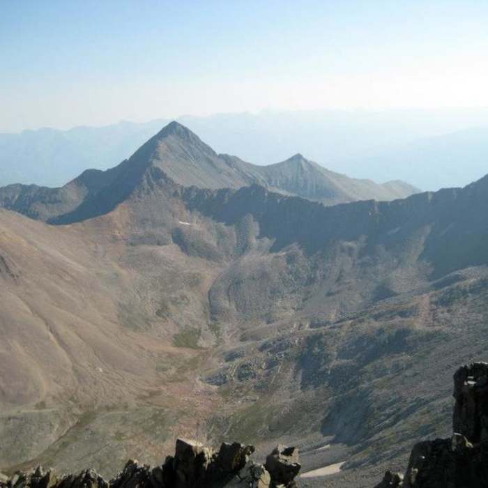
From the trailhead, hike west through meadows and forest, heading northwest then north for 2.25 miles to a junction near 10,300 feet; turn right and hike 0.5 miles to cross Kilpacker Creek. Continue into a meadow with dispersed camping, then climb through the last trees onto talus below El Diente's west ridge. Near 12,200 feet, pass a headwall and rock pile, staying on the basin's left side over unrelenting talus. Near 12,600 feet, about 5 miles in, watch closely for an indistinct, unmaintained turn-off marked by occasional cairns; turn left here for El Diente.
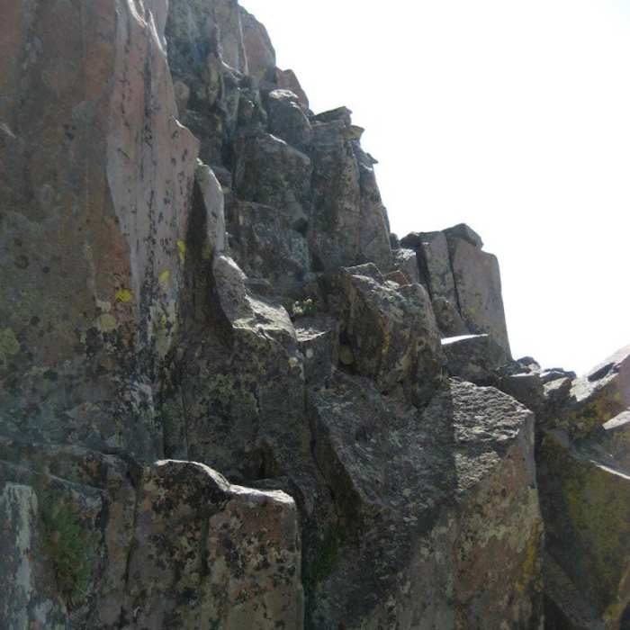
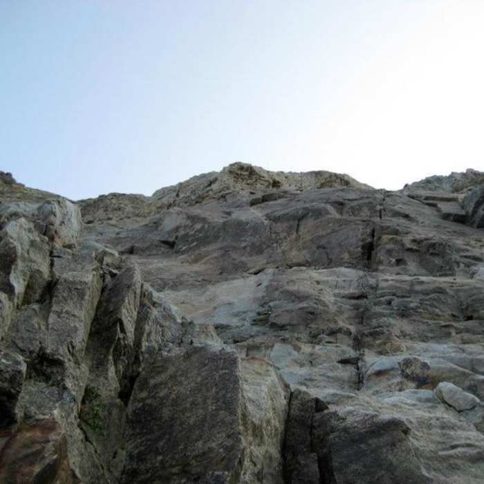
Follow loose trail segments between outcroppings, pass a large rock on its left, and angle toward gray talus near 13,200 feet. Ascend toward cliffs, then turn left and traverse west beneath them to the base of a red rock rib at 13,500 feet — the "Organ Pipes" are visible on the ridge above. Climb gray talus to a gray gully near 13,600 feet, the route's key landmark, and climb it to easier terrain below the Organ Pipes. Turn left, scramble through a chimney-like passage, work around jumbled rock, cross a ledge and an angled rock, then climb a short, loose gully to a notch at 13,950 feet — turn left here.
Follow a cairned route to a second notch on the summit's north side, scramble up to it, then climb the final pitch through the notch along angled rock beside a dirt gully. Near the top, turn right, traverse briefly, then climb left to El Diente's summit at 14,175 feet.
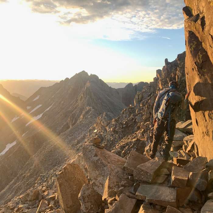
Begin the Class 3-4 traverse by descending to the notch and retracing the ridge's north side, then dropping down a short gully on the south side. Angle left and traverse beneath the Organ Pipes on loose, gray rock, turning a corner to rejoin the ridge crest near where El Diente's North Slopes route arrives from Navajo Basin.
Crux: The first crux is "Pin Point," a cluster of gendarmes blocking the ridge: stay just below the crest on the south side, crossing stacked rock on a cairned line, or descend farther below the ridge for an easier but 100-foot-costlier bypass.
Past Pin Point, climb loose terrain back to the ridge crest and continue over "West Wilson" near 14,000 feet, then downclimb it to the traverse's low saddle.
Crux: The second and true crux follows immediately: a narrow, steep rock section exposed on both sides. Drop slightly to the right side of the ridge to start climbing, then work back left toward the crest as you ascend; near 14,100 feet, regain the ridge at this section's west edge. Scramble carefully east across the narrow ridge, then descend its east end, staying at or just left of the crest, to the final saddle before Mount Wilson.
From the saddle, turn right through rock walls into a Class 2 gully, climbing to a notch near 14,150 feet. Turn right and follow the narrow summit ridge to the final crux: a cluster of rocks blocking easy passage. Pass to the left for the easiest line; the right side demands an exposed Class 4 move. Beyond the crux, reach Mount Wilson's summit at 14,256 feet.
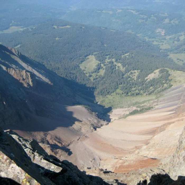
To return, descend Mount Wilson's Southwest Slopes: down a gully, across a rock rib (mark this crossover point on the way up, since it's easy to miss in reverse), and down a second gully into the upper basin near 13,200 feet. Continue west across the basin to the Kilpacker turn-off at 12,600 feet, then retrace the approach through the basin, past Kilpacker Creek, and out to the trailhead.
No Condition Reports
Wilson Group
Wilson Group
El Diente Peak South Slopes
El Diente Peak South Slopes
Mount Wilson Southwest Slopes
Mount Wilson Southwest Slopes
Mount Wilson North Slopes
Mount Wilson North Slopes
El Diente Peak North Slopes
El Diente Peak North Slopes
El Diente North Buttress
El Diente North Buttress
Contributors

