Ready to explore this trail?
View Trail Map in AppRegional Classic
A must do route for the area handpicked by local experts.
No permits or fees are required to hike or camp in the Lizard Head Wilderness, although group sizes are limited to a maximum of 15 people.
Portions of the route near Silver Pick Basin and the Rock of Ages Trail cross active private mining claims. Public access is secured through a permanent easement, and hikers must remain strictly on the designated trail to respect private property rights and ensure continued access.
Although dogs are permitted on leash within the wilderness, the highly technical nature of this route—which features sustained Class 3 and Class 4 scrambling along the El Diente Peak to Mount Wilson traverse and on the final pitch of Wilson Peak—makes this route extremely dangerous and unsuitable for dogs.
The trailheads are accessed via Forest Road 535. This dirt road is typically passable for standard two-wheel-drive vehicles during dry summer conditions, but high-clearance vehicles are recommended.
Path Type
Point to Point
The Wilson Group is a strenuous and highly technical mountaineering route in the San Miguel Mountains of southwestern Colorado. The route summits three of Colorado's 14,000-foot peaks—El Diente Peak (14,159 feet), Mount Wilson (14,246 feet), and Wilson Peak (14,017 feet)—in a single continuous push. Spanning approximately 13.6 miles with over 6,400 feet of elevation gain, this route features sustained Class 3 and Class 4 scrambling, particularly along the infamous ridge traverse between El Diente Peak and Mount Wilson.
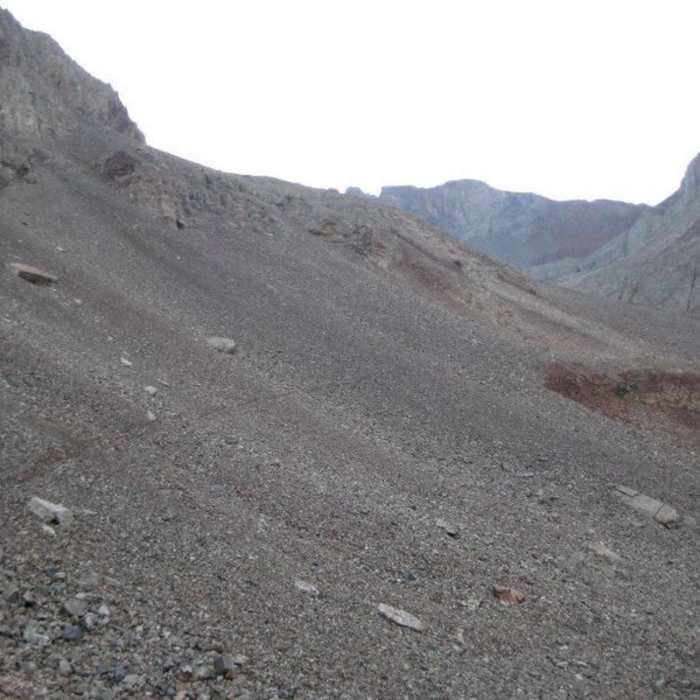
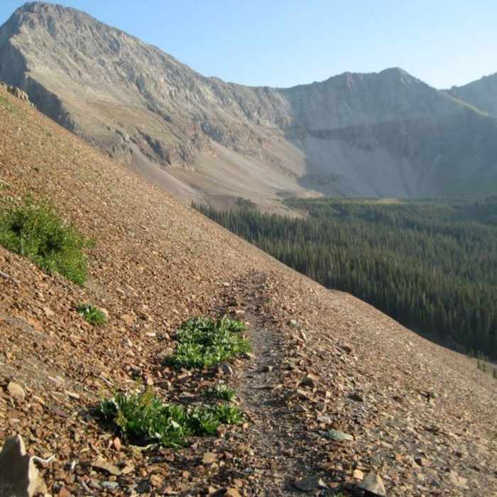
Beginning at the Kilpacker Trailhead, the route follows the Kilpacker Trail through subalpine forests and meadows. After the junction with the El Diente Southern Slopes approach, the trail steepens, heading up the southern slopes of El Diente Peak. The final ascent to the summit of El Diente Peak requires navigating steep talus and a Class 3 ridge, culminating in a narrow summit with dramatic views of the surrounding San Juan Mountains.
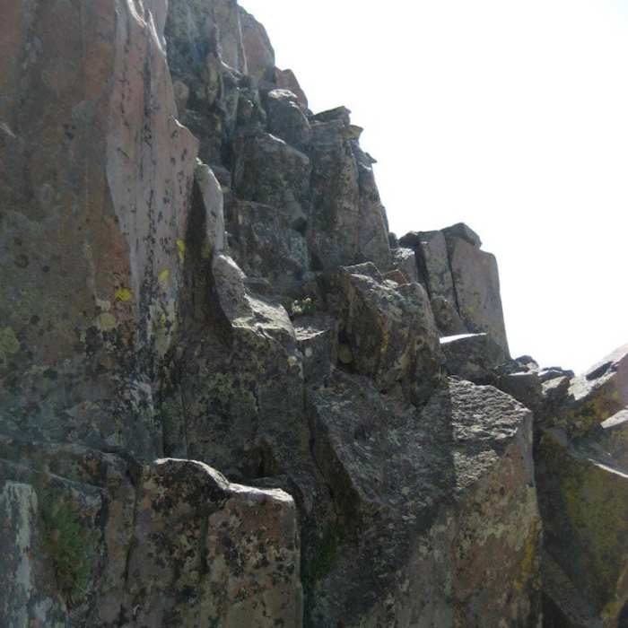
From the summit of El Diente Peak, the route tackles the highly demanding El Diente–Mount Wilson Traverse. This mile-long, high-exposure ridge contains sustained Class 3 and Class 4 climbing on loose rock and narrow ledges. Route-finding is critical to avoid hazardous cliffs, especially when traversing the south side of the ridge. The traverse ends at the summit of Mount Wilson, the highest peak in the San Miguel range.
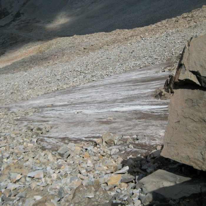
From Mount Wilson, hikers descend the Mount Wilson Trail into the rugged Navajo Basin. The route then climbs the north side of the basin via the Navajo Lake Trail to reach the Rock of Ages Saddle. From the saddle, the route follows the Wilson Peak Trail to the summit of Wilson Peak, which involves Class 3 scrambling near the top. After summiting, hikers backtrack to the Rock of Ages Saddle and descend via the Rock of Ages Trail to the Silver Pick Trailhead.
No Condition Reports
Mount Wilson and El Diente Traverse
Mount Wilson and El Diente Traverse
El Diente Peak South Slopes
El Diente Peak South Slopes
Mount Wilson Southwest Slopes
Mount Wilson Southwest Slopes
Mount Wilson North Slopes
Mount Wilson North Slopes
El Diente Peak North Slopes
El Diente Peak North Slopes
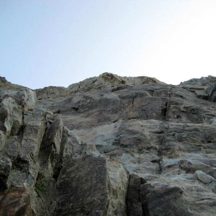
El Diente North Buttress
El Diente North Buttress
Contributors

