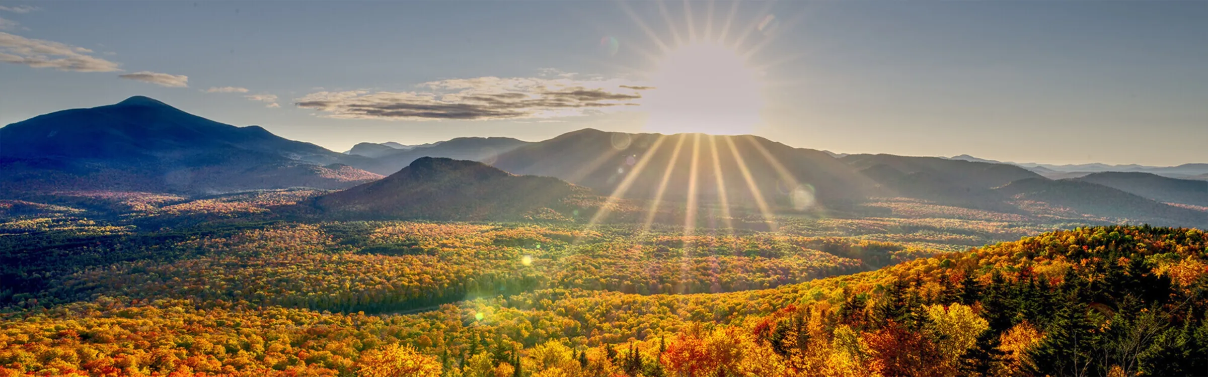
Hiking Trails•United States of America•Thendara, New York

Hiking Trails
Near Thendara, New York

Regional Classics Icon

Regional Classics

Discover the must-do hikes in the area, handpicked and curated by local experts who know the trails best. These routes are beloved for good reason, offering standout scenery, rewarding terrain, and detailed descriptions with tips that tell you exactly what to expect. Whether you are visiting for the first time or are a local doing them on repeat, they offer a reliable and memorable hiking experience.

Wakely Mountain

Classic Hike Route

Wakely Mountain

Dogs Allowed
moderate
5.74 mi
+1,632 ft
Buell Mountain

Classic Hike Route

Buell Mountain

Dogs Allowed
extreme
7.66 mi
+2,045 ft
Panther Mountain

Classic Hike Route

Panther Mountain

Fall Colors
extreme
10.56 mi
+3,383 ft
Blue Ridge

Classic Hike Route

Blue Ridge

Lake
strenuous
7.91 mi
+1,955 ft
Lewey Mountain

Classic Hike Route

Lewey Mountain

Geologically Significant
strenuous
6.84 mi
+2,193 ft
Blue Mountain Fire Tower

Classic Hike Route

Blue Mountain Fire Tower

Fall Colors
moderate
4.05 mi
+1,613 ft
Shorter Routes icon

Shorter Routes

These hikes keep it under 5 miles and climb less than 1,500 feet, making them ideal for quicker outings or lower-key days. Perfect for a morning stretch, a casual afternoon, or getting outside without committing to a big push. Don’t let the stats fool you — many still pack in great views and rewarding moments.

Bald Mountain + Rondaxe Fire Tower

Hike Route

Bald Mountain + Rondaxe Fire Tower

Views
moderate
0.93 mi
+398 ft
Rocky Mountain

Hike Route

Rocky Mountain

Birding
moderate
0.99 mi
+457 ft
BREIA: Egypt and Rim

Hike Route

BREIA: Egypt and Rim

easy
2.49 mi
+159 ft
Pillsbury Mountain Fire Tower

Hike Route

Pillsbury Mountain Fire Tower

Less Crowded
easy
1.56 mi
+1,479 ft
Pixley Falls

Hike Route

Pixley Falls

easy
2.48 mi
+791 ft
Cat Mountain Out-and-Back

Hike Route

Cat Mountain Out-and-Back

Fall Colors
moderate
4.64 mi
+767 ft
Logo

Adventurous Routes

These routes go beyond 10 miles and are built for days when you want to cover more ground and push a little deeper. Expect longer distances, more effort, and bigger payoffs — whether that’s remote terrain, summit views, or a full-day challenge. Ideal for hikers looking to go farther and stay out longer.

Panther Mountain

Classic Hike Route

Panther Mountain

Fall Colors
extreme
10.56 mi
+3,383 ft

Other Nearby Routes

Not finding what you're looking for? These additional nearby hikes offer more ways to get outside and explore the area. With a mix of lengths, difficulty levels, and terrain, you're likely to find something that fits your plans for the day. And remember, you can always use the onX Route Builder to create your own adventure from scratch.

Moose River Mountain

Hike Route

Moose River Mountain

moderate
5.9 mi
+714 ft
Nicks Lake

Hike Route

Nicks Lake

easy
6.15 mi
+318 ft
Whetstone Gulf Rim Trail

Hike Route

Whetstone Gulf Rim Trail

Views
moderate
5.51 mi
+986 ft
Sargent Ponds Loop

Hike Route

Sargent Ponds Loop

moderate
7.77 mi
+467 ft
Wakely Mountain

Classic Hike Route

Wakely Mountain

Dogs Allowed
moderate
5.74 mi
+1,632 ft
Buell Mountain

Classic Hike Route

Buell Mountain

Dogs Allowed
extreme
7.66 mi
+2,045 ft