Ready to explore this trail?
View Trail Map in AppRegional Classic
A must do route for the area handpicked by local experts.
Check DEC notices before climbing the fire tower, which has had repairs and closures. Cedar River Road is seasonal and is not plowed in winter.
Path Type
There and Back
This route starts at the Wakely Mountain parking area on Cedar River Road near Wakely Dam and ends at the same lot after reaching the Wakely Mountain fire tower.
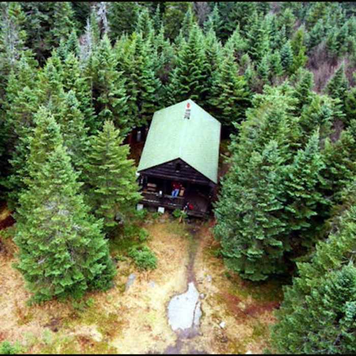
Sign the register and follow the old jeep road, which is washed out in places and crosses several streams. At about 1 mile, reach a junction with Gould Road; bear left onto the Wakely Mountain Trail. At about 2.0 miles, a signpost and cairn mark a left turn off the old road onto the main trail; the old road continues straight about 300 feet to a former hunting camp and beaver meadow. From here the trail is steeper, with switchbacks and rocky sections. Near the top, turn sharply right at a signpost, then climb past a railing and a wooden ladder. A spur on the right leads to a DEC helipad. Continue to a sharp right turn, where the tower stands on the left and the ranger cabin on the right.
The route is about 5.7 miles round trip with about 1,650 vertical feet of gain. Retrace your steps, using care on leaf-covered footing.
No Condition Reports
Buell Mountain
Buell Mountain
Panther Mountain
Panther Mountain
Lewey Mountain
Lewey Mountain
Snowy Mountain
Snowy Mountain
Pillsbury Mountain Fire Tower
Pillsbury Mountain Fire Tower
Blue Ridge
Blue Ridge
Contributors

