Ready to explore this trail?
View Trail Map in AppRegional Classic
A must do route for the area handpicked by local experts.
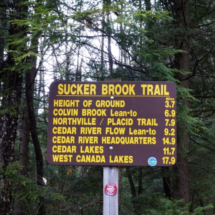
No permits or parking fees are required to hike Lewey Mountain from the Sucker Brook Trailhead on New York State Route 30. Day-use parking is available directly at the trailhead across from the Lewey Lake Campground.
Path Type
There and Back
This bushwhacking route begins and ends at the Sucker Brook Trailhead, after reaching the summit of Lewey Mountain.
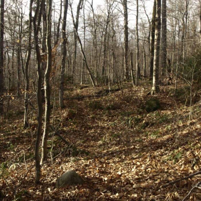
From the Sucker Brook Trailhead across from the Lewey Lake Campground entrance, follow the red-marked Sucker Brook Trail west. Pass by the Sucker Brook #1 primitive campsite around 1.4 miles. Around 2.5 miles, leave the maintained trail and turn right (northwest) to begin the off-trail bushwhack up Lewey Mountain. Climb northwest through open hardwood forest on the lower slopes, eventually trending onto the mountain's southeast ridge. As the elevation exceeds 3,000 feet, the terrain steepens and transitions to dense spruce-fir forest with significant blowdown, requiring active route-finding and navigation to reach the broad summit plateau. Locate the summit canister hanging from a tree near the high point.
Retrace the ascent route back down the ridge to the Sucker Brook Trail, and follow it east to return to the trailhead.
No Condition Reports
Snowy Mountain
Snowy Mountain
Buell Mountain
Buell Mountain
Panther Mountain
Panther Mountain
Pillsbury Mountain Fire Tower
Pillsbury Mountain Fire Tower
Blue Ridge
Blue Ridge
Wakely Mountain
Wakely Mountain
Contributors

