Ready to explore this trail?
View Trail Map in AppRegional Classic
A must do route for the area handpicked by local experts.
Military Road is a seasonal dirt road maintained by the Town of Indian Lake. It is closed to public motor vehicles from early December through late May, depending on snowpack and mud conditions. During the winter closure, the road serves as a snowmobile trail.
No fees or permits are required for day use in the West Canada Lake Wilderness. Wading the Cedar River is required to access the route; water levels fluctuate significantly and crossing should not be attempted during spring runoff or after heavy rainfall.
Path Type
There and Back
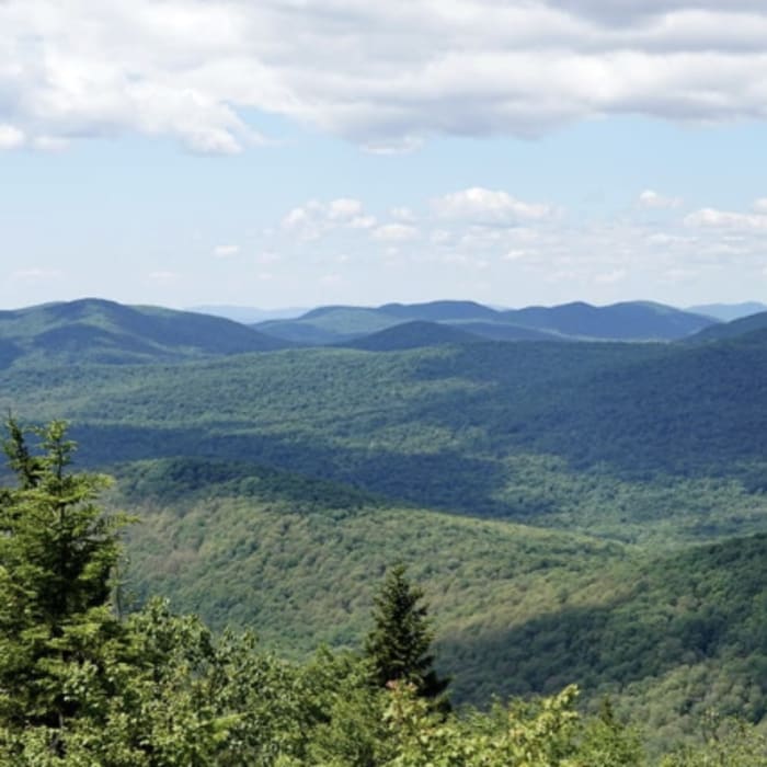
This route starts and ends at the Pillsbury Mountain Trailhead along Military Road, after bushwhacking to the summit of Blue Ridge.
From the trailhead, start to the north along the French Louis Trail. At 1.5 miles, leave the French Louis Trail as it curves to the left, and continue straight on the Cedar Lakes Trail. Around 1.9 miles, reach Stony Brook. Cross over Stony Brook and then leave the Cedar Lakes Trail to begin a bushwhack to the northeast.
Continuing northeast, bushwhack up and around the first knob. Beyond the first knob, the slope becomes more gradual - continue in the general northeast direction until reaching the peak.
Retrace your steps back to the trailhead, taking care with navigation on the descent to avoid drifting into neighboring drainages.
No Condition Reports
Pillsbury Mountain Fire Tower
Pillsbury Mountain Fire Tower
Lewey Mountain
Lewey Mountain
Buell Mountain
Buell Mountain
Panther Mountain
Panther Mountain
Wakely Mountain
Wakely Mountain
Snowy Mountain
Snowy Mountain
Contributors

