Ready to explore this trail?
View Trail Map in AppRegional Classic
A must do route for the area handpicked by local experts.
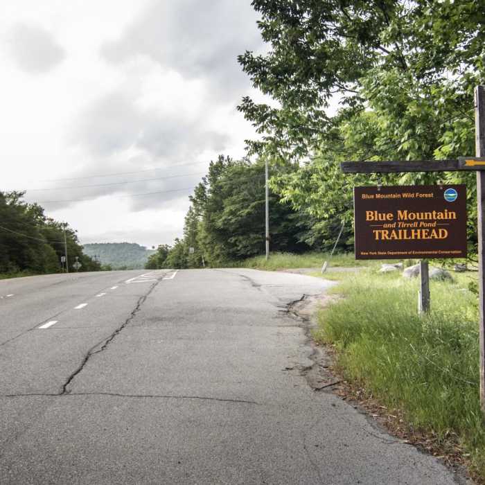
No permits are required. Parking is free at the trailhead lot on NY-28/NY-30, but spots can fill quickly during summer weekends.
Path Type
There and Back
The route begins and ends at the Blue Mountain Trailhead after reaching the Blue Mountain summit and fire tower.
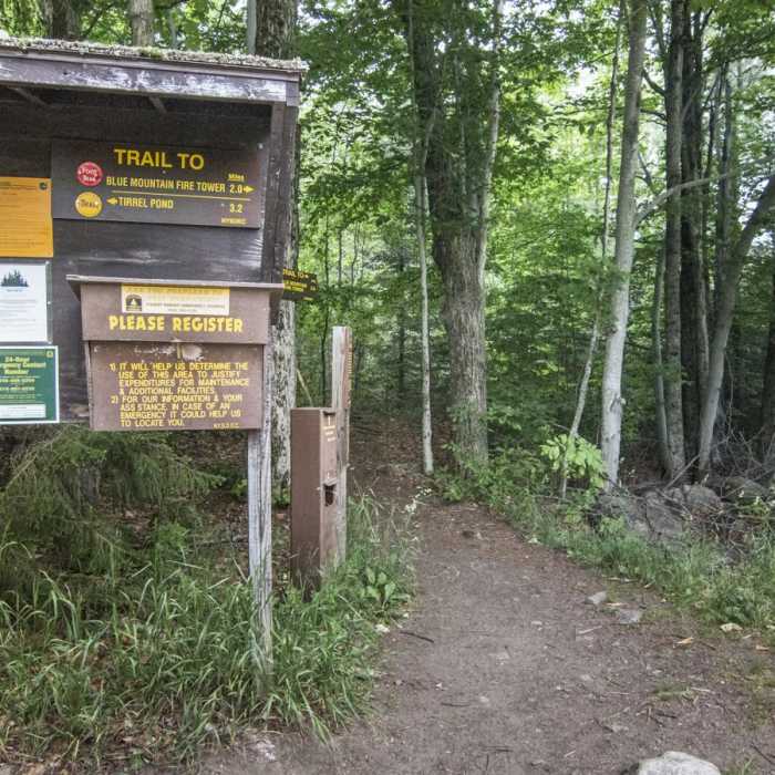
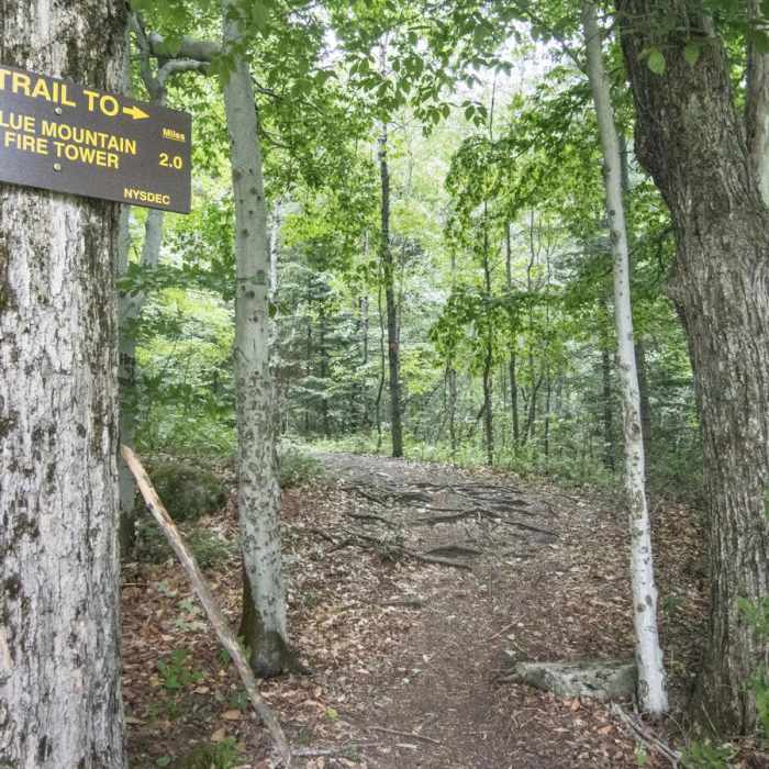
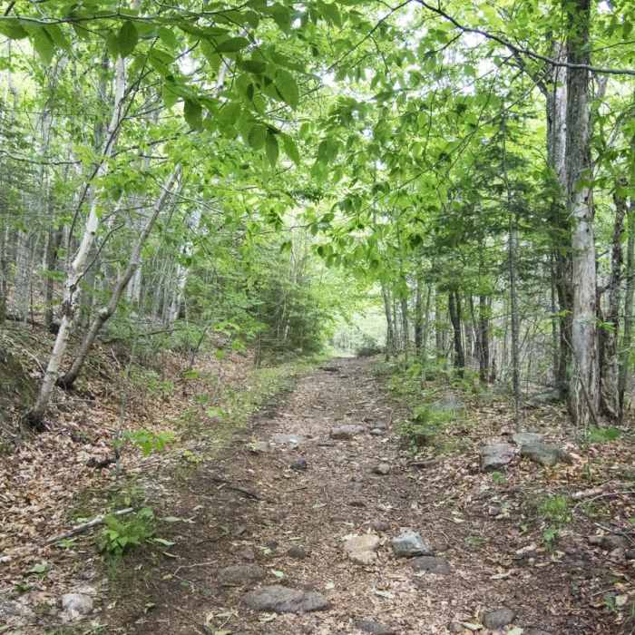
Start at the trailhead parking area on the east side of NY-28. From the kiosk and registration box, take the red-marked trail on the right (the yellow-marked trail to the left heads toward Tirrell Pond). Follow the old logging road on a steady climb through northern hardwoods and pine.
At 1.0 mile, cross a series of wooden boardwalk planks over minor ridges as the terrain becomes increasingly rocky with exposed roots. In the second mile, the grade steepens significantly, requiring scrambles over large boulders and steep bedrock slabs that can be extremely slippery when wet.
At 1.8 miles, the trail levels out for the final 0.2 miles, leading through a balsam fir forest to the summit clearing at 2.0 miles. Here you will find the 35-foot steel Aermotor fire tower and concrete foundations of a historic radar station.
Retrace your steps back to the trailhead parking area.
All Clear
Amazing trail! If it is below freezing the night before, at the top there may be a little bit of ice on the rocks due to the small creek/water flowing through the trail.
Looking for more condition reports?
Owl's Head Fire Tower
Owl's Head Fire Tower
Wakely Mountain
Wakely Mountain
Buell Mountain
Buell Mountain
Panther Mountain
Panther Mountain
Snowy Mountain
Snowy Mountain
Contributors

