Trail Overview
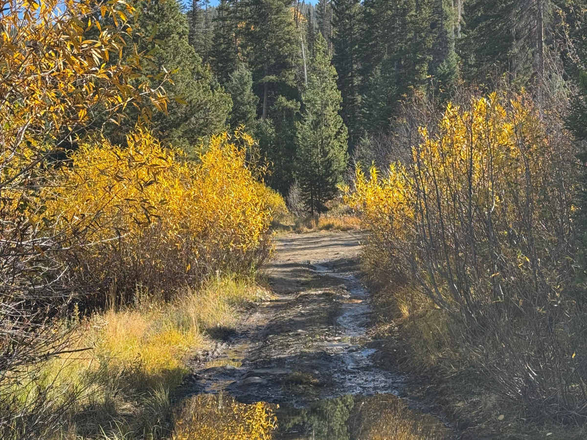
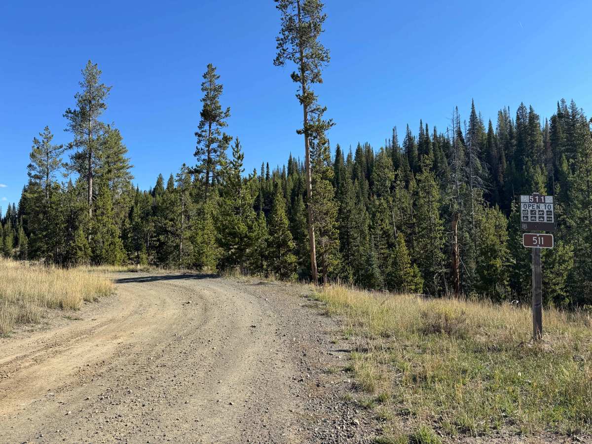
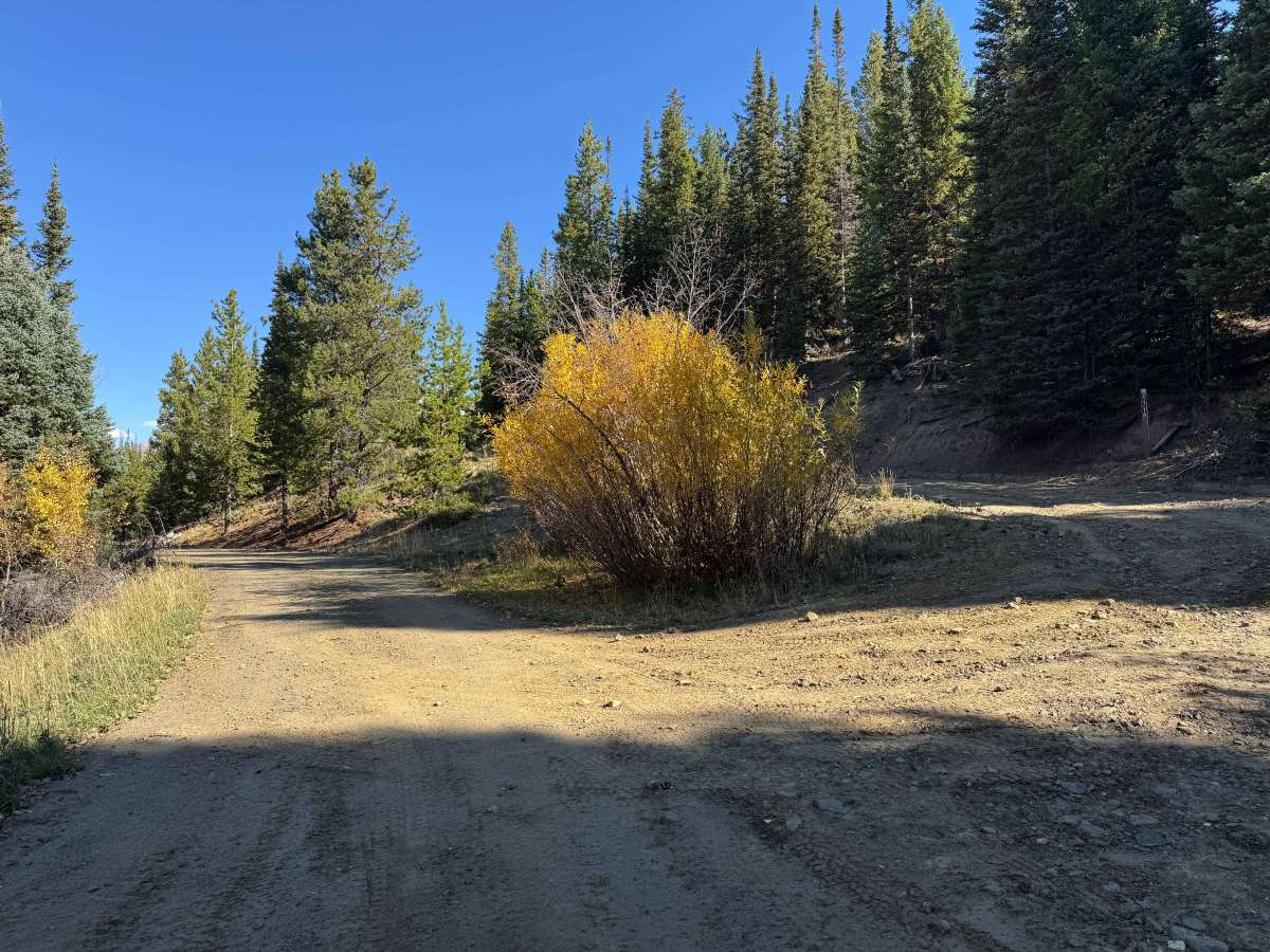
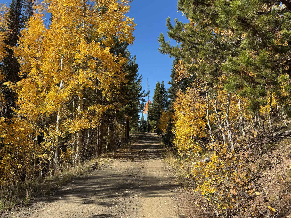
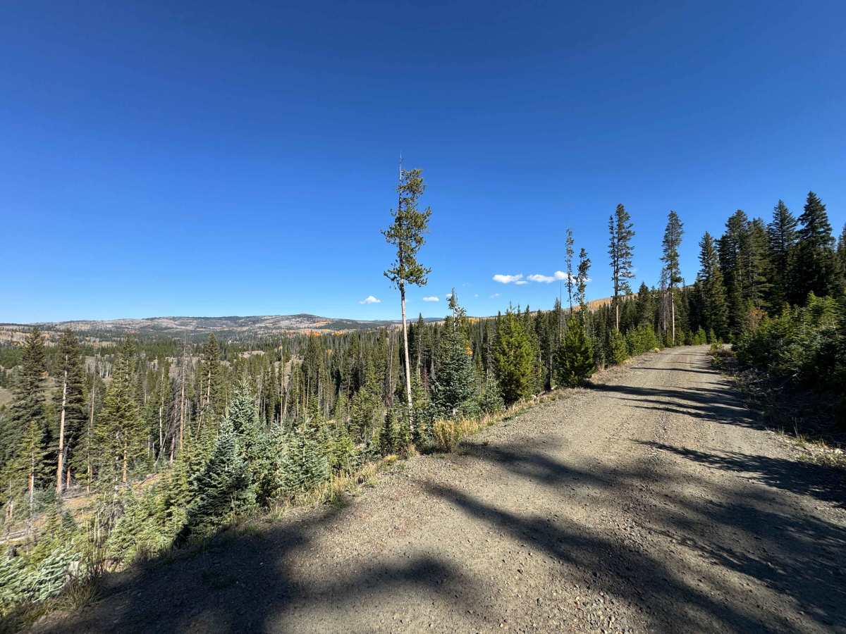
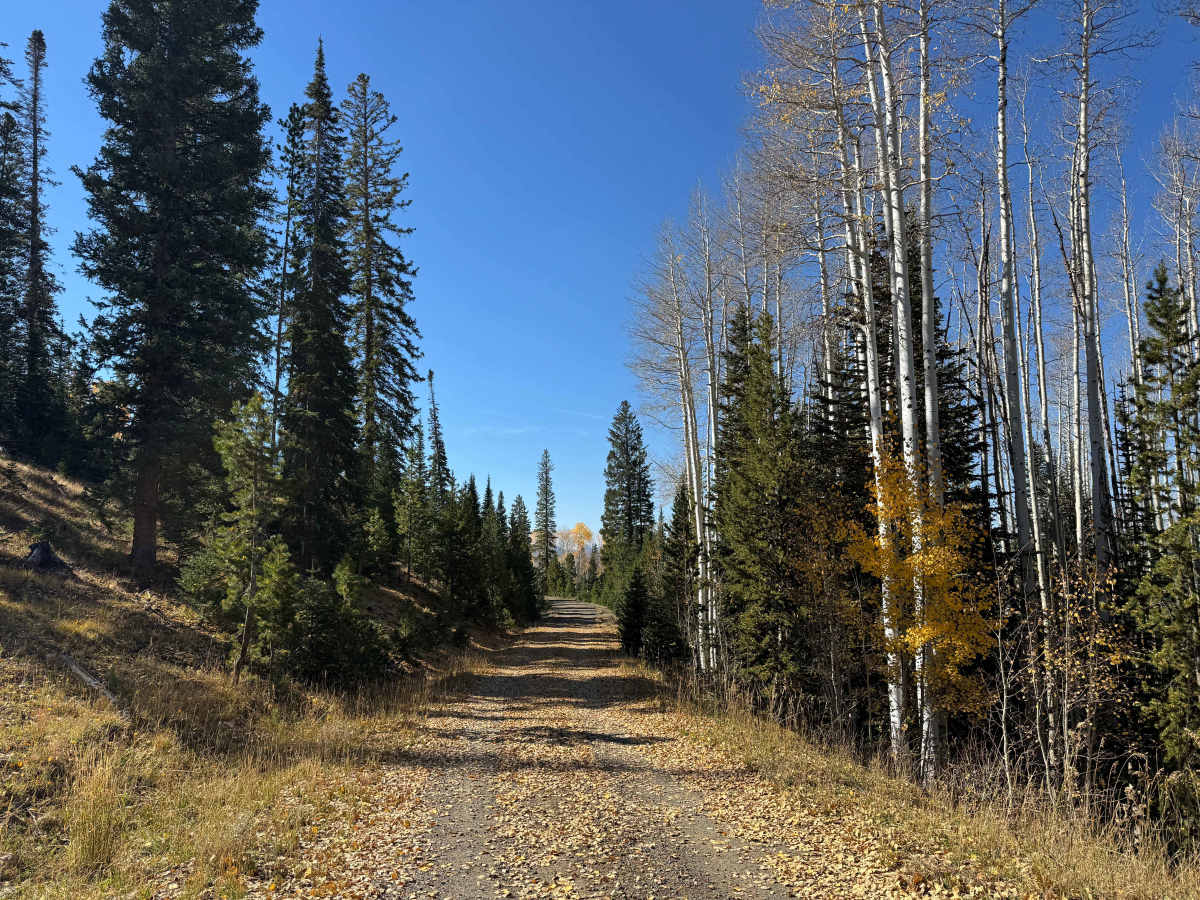
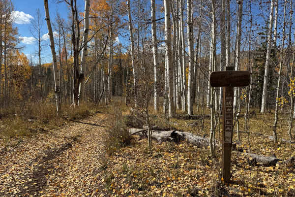
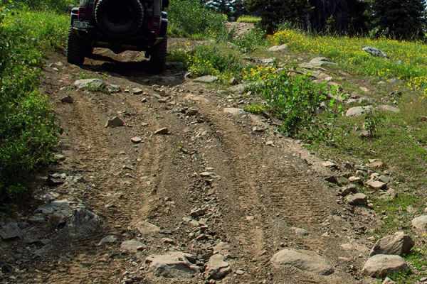
Beginning off USFS 550, this route climbs several miles into the surrounding mountains and offers an easy, scenic drive through some beautiful country. In dry conditions, the trail is suitable for most 4WD vehicles, and even larger expedition trucks should have little difficulty traveling from the bottom to the top. The road is generally smooth and allows you to maintain a comfortable pace while enjoying the surrounding scenery and watching for wildlife along the way. There are a few mildly rutted sections and several small mud holes, particularly where water collects, but none present a significant challenge in dry weather. Overall, this is an enjoyable mountain route that provides excellent scenery without requiring a highly capable off-road vehicle.
Difficulty
This is an easy route that is generally suitable for most vehicles in dry conditions. Although the trail is primarily one vehicle wide, the terrain is relatively mild and does not present any significant obstacles or technical challenges. Drivers should still use caution when encountering oncoming traffic due to the narrow trail, but overall, this is a straightforward route that most vehicles can navigate without difficulty.
History
Long before the modern road system was established, this region was crossed by routes shaped by Native American travel, wildlife movement, natural mountain passes, and the easiest available terrain. As mining, ranching, and settlement expanded during the late 1800s and early 1900s, many of these corridors became wagon roads, freight routes, and livestock trails. Among them was the Lamb Trail near Steamboat, which was used to move sheep to market, along with the Wyoming Trail, which supported ranching and sheep-driving operations between Wyoming and the Yampa Valley. Railroad construction between 1909 and 1912 significantly improved access and helped promote mining, ranching, and tourism. The Routt National Forest, first established as the Park Range Forest Reserve in 1905 and renamed in 1908, also played an important role in shaping the region’s later transportation network. Many of the roads and trails used today follow modernized versions of these historic travel corridors.

 Offroad