Trail Overview
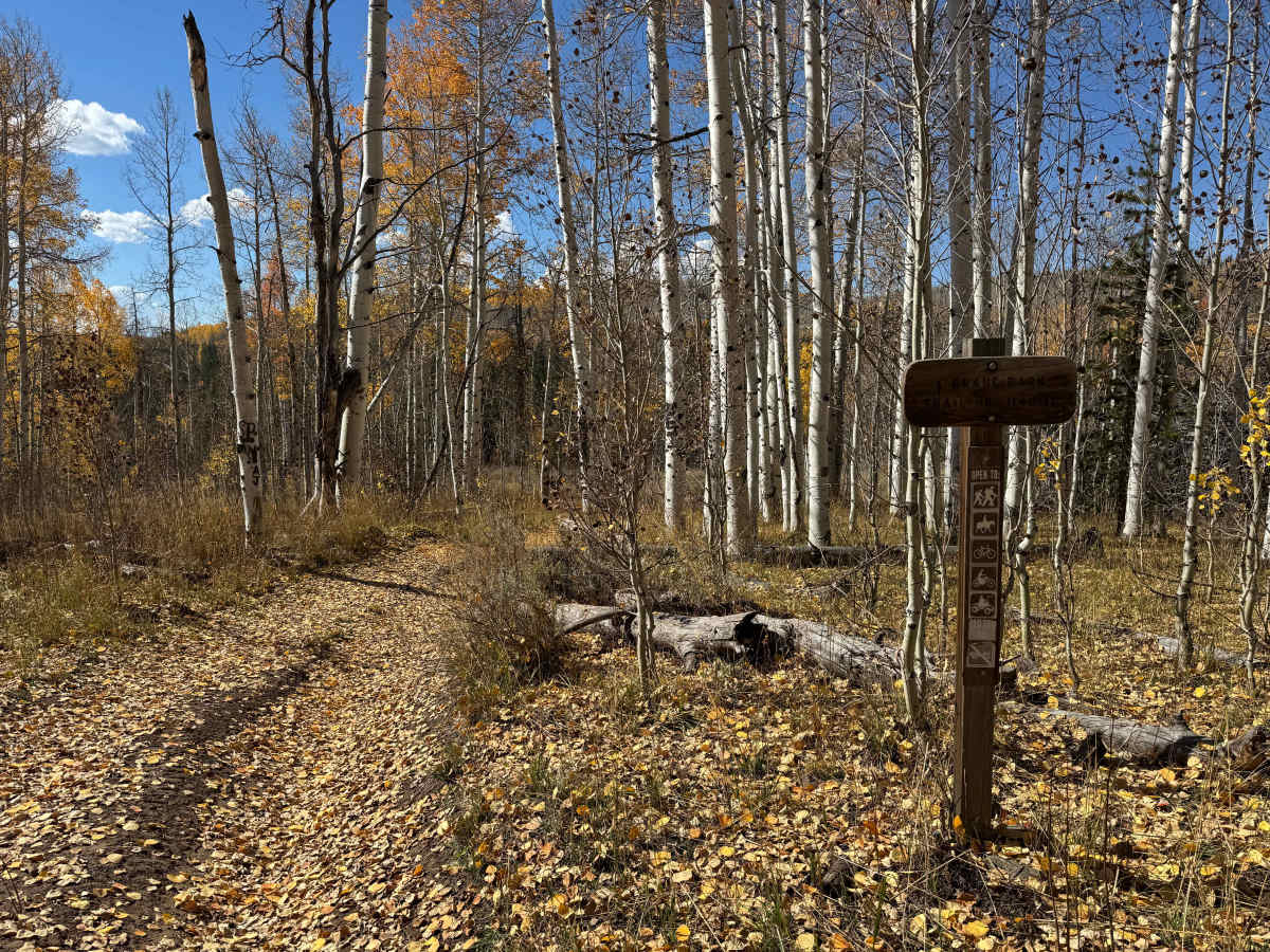
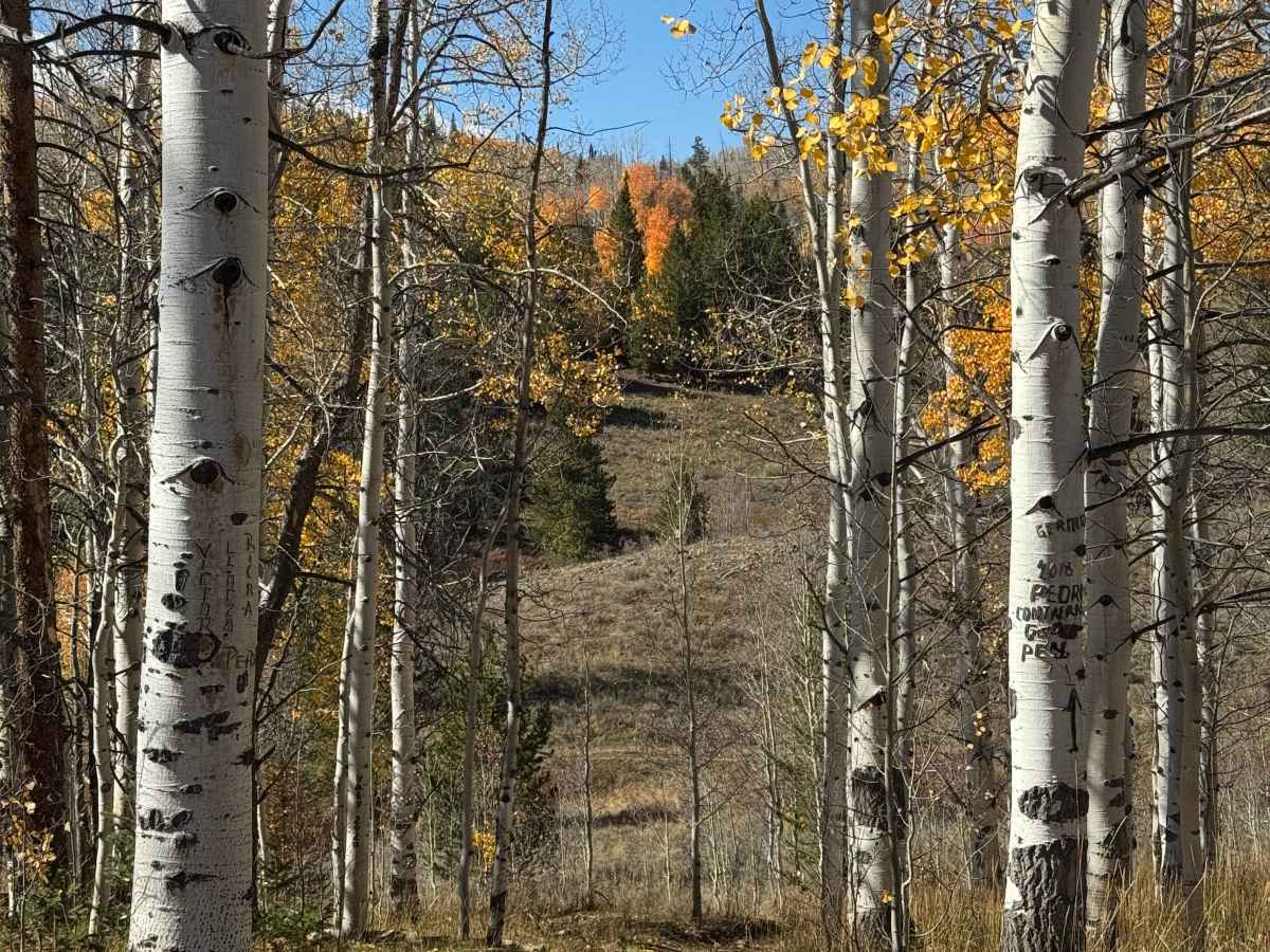
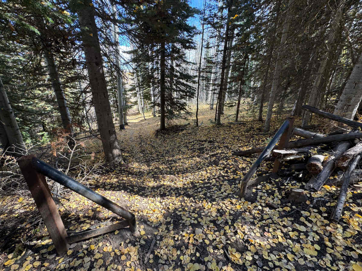
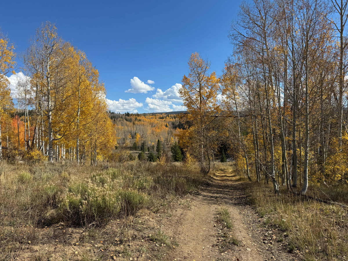
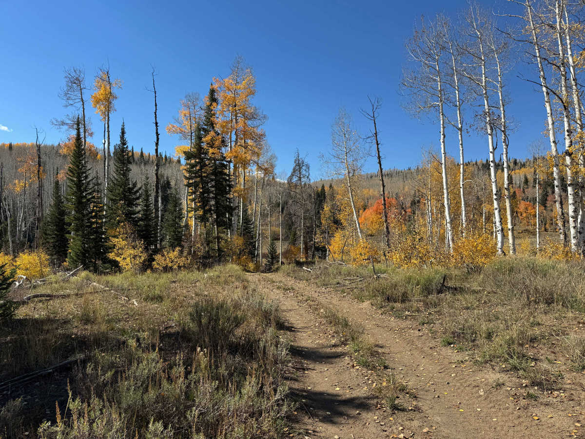
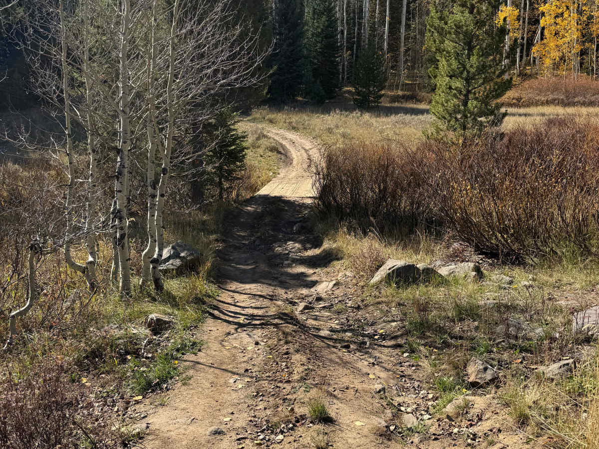
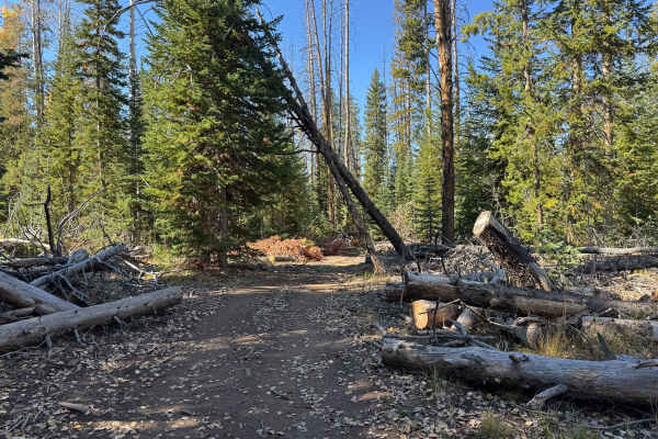
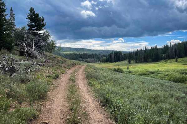
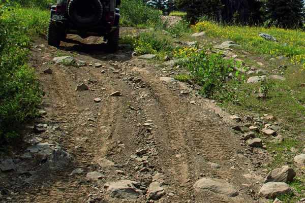
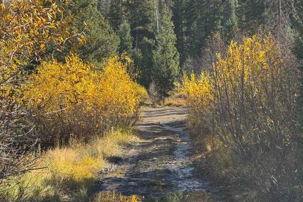
This trail continues off FS 555 and quickly transitions into a designated motorcycle and ATV route, with no full-size motorized vehicles permitted beyond the posted change. A sign along the route indicates where the designation changes, although the actual physical barrier is located approximately a quarter mile farther ahead at the bottom of the climb. The trail is typical of an ATV track, with deeply banked and rutted corners in several sections. There are also a few steep climbs with embedded rocks, including one particularly steep section covered with loose rock that may require careful throttle and line selection. Despite the challenges, this is a very scenic route that winds back and forth through the forest, climbing and descending along the way. The trail crosses a small creek on a bridge, and during the fall, several sections become covered with colorful Aspen leaves. This short connector is exactly one mile long and ends at FS 1149, also known as Elkhorn Trail North, where riders can access additional ATV and dirt-bike routes.
Difficulty
In dry conditions, this route is not particularly difficult for dirt bikes or ATVs, although there are a few sections where maintaining momentum is important to climb the moderately steep hills. Some of the steeper climbs have embedded rocks, while others contain loose rock that can make traction more challenging. In wet or muddy conditions, these climbs can become considerably more slippery and may require more careful throttle control and line selection. Overall, the trail is a straightforward ride with a few short sections that require attention.