Trail Overview
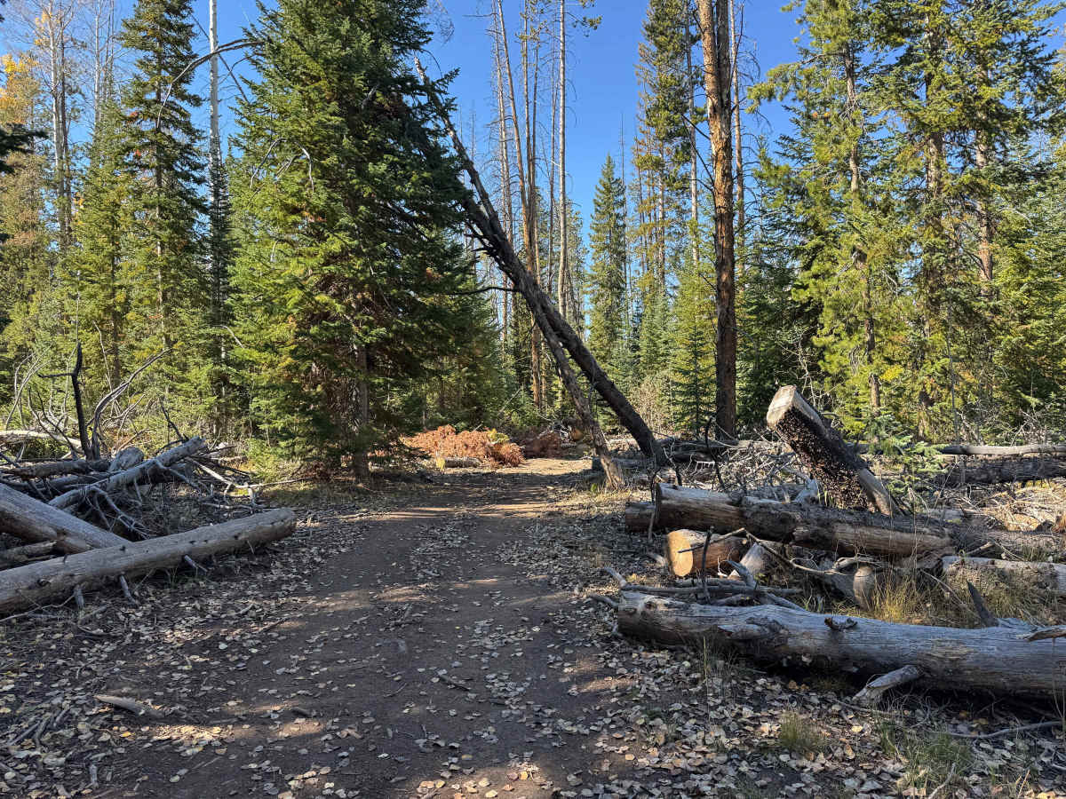
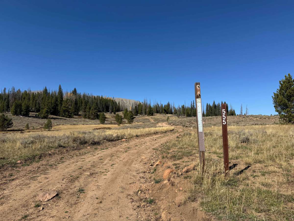
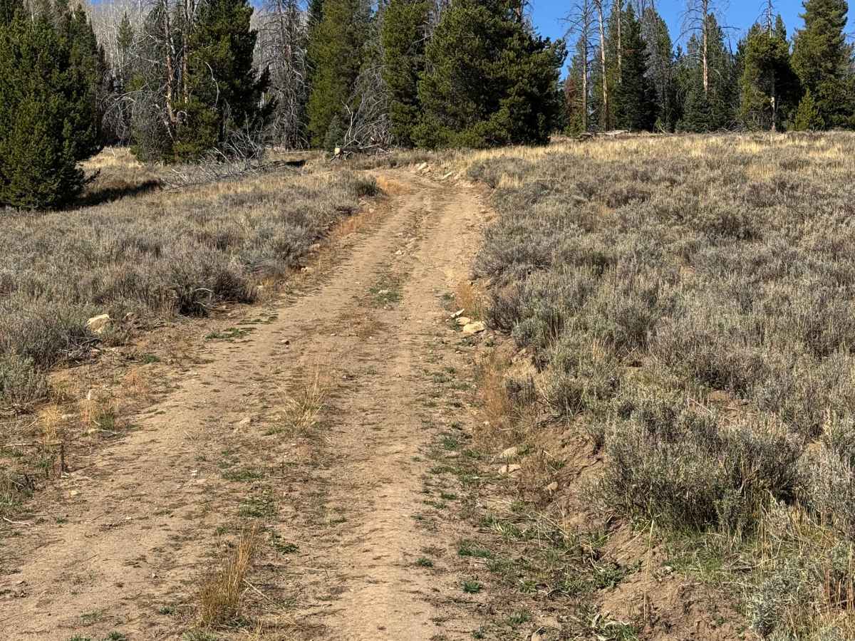
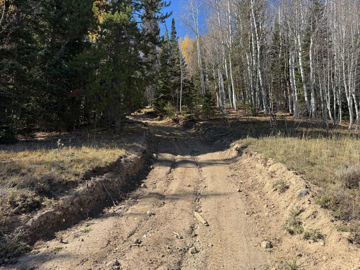
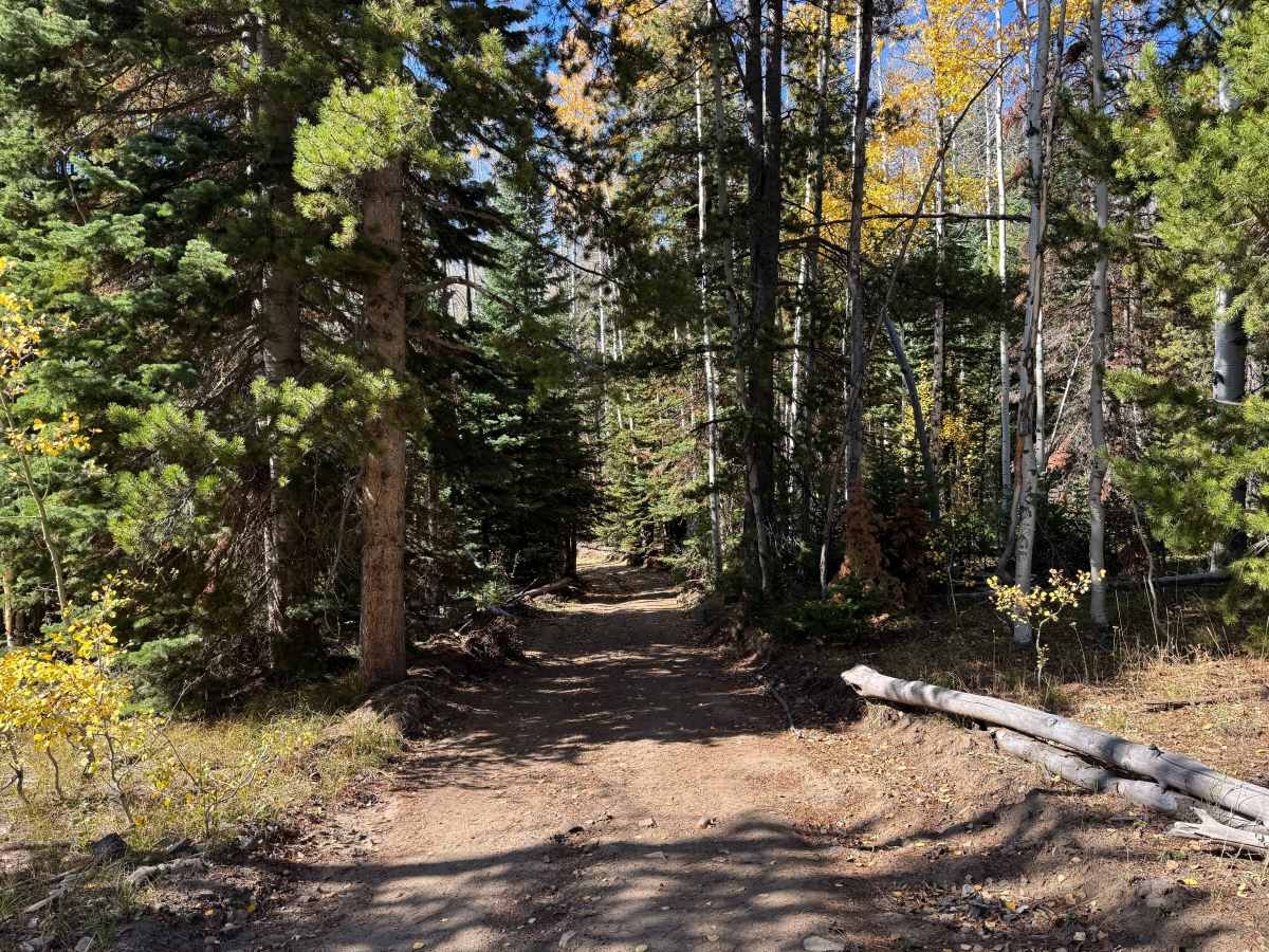
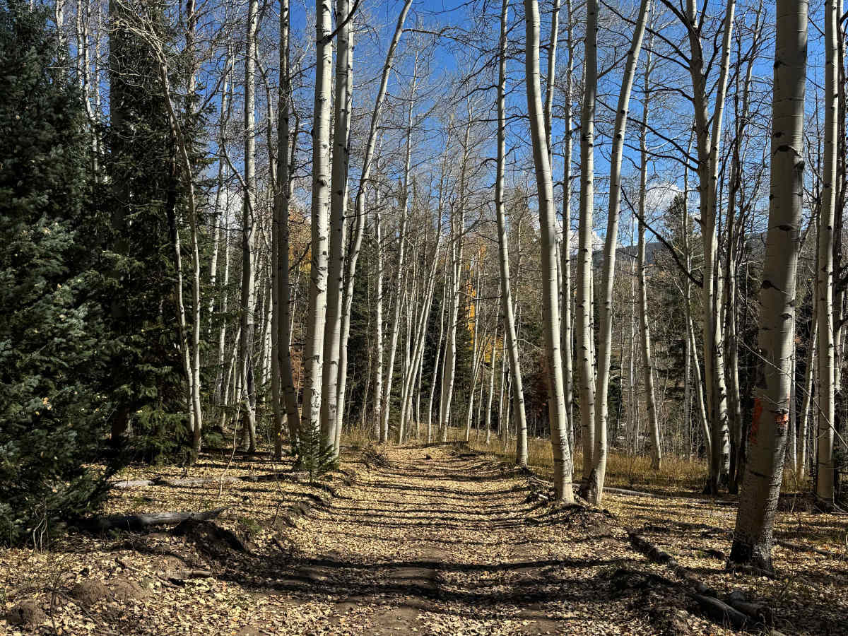
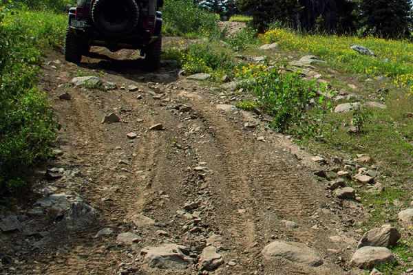
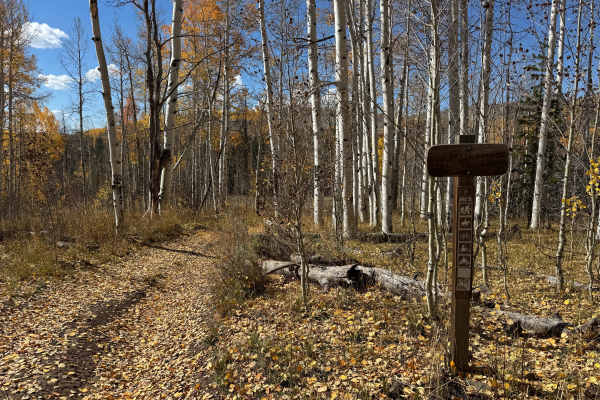
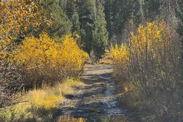
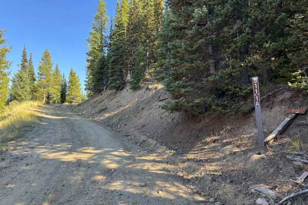
Although this trail is approved for high-clearance 4WD vehicles, it is very tight and is best suited for smaller Jeeps and SxS vehicles. There are several moderately steep climbs where 4WD and aired-down tires are recommended, particularly for larger 4WD vehicles. The route includes numerous climbs and descents with deep ruts that require careful wheel placement, along with embedded rocks that can be difficult to see when covered by Aspen leaves. The trail ends at a sign marking the transition to a route restricted to dirt bikes and ATVs. There is a small amount of space at this point to turn around, with room for perhaps two or three vehicles to park while continuing farther on a dirt bike or ATV. If you are towing a trailer, it is strongly recommended that you unload near the main road at the bottom of FS 555, as the trail is extremely tight and would be very difficult to navigate with any trailer.
Difficulty
This short route includes two or three moderately steep sections that may require 4WD and aired-down tires, even in dry conditions. The climbs are manageable for most beginner-level drivers, and there are no obstacles larger than approximately 12 inches. With no significant rock obstacles or technical sections, this route remains within the parameters of a beginner trail when conditions are dry.
History
Long before the modern road system was established, this region was crossed by routes shaped by Native American travel, wildlife movement, natural mountain passes, and the easiest available terrain. As mining, ranching, and settlement expanded during the late 1800s and early 1900s, many of these corridors became wagon roads, freight routes, and livestock trails. Among them was the Lamb Trail near Steamboat, which was used to move sheep to market, along with the Wyoming Trail, which supported ranching and sheep-driving operations between Wyoming and the Yampa Valley. Railroad construction between 1909 and 1912 significantly improved access and helped promote mining, ranching, and tourism. The Routt National Forest, first established as the Park Range Forest Reserve in 1905 and renamed in 1908, also played an important role in shaping the region’s later transportation network. Many of the roads and trails used today follow modernized versions of these historic travel corridors.

 Offroad