FS 511-1A

Total Miles2.7
Technical Rating
2Easy
Best TimeSummer
Trail TypeFull-Width Road
Accessible By
Open Trail Map

Trail Overview

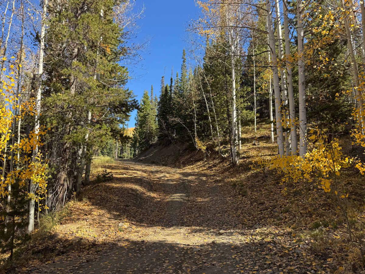
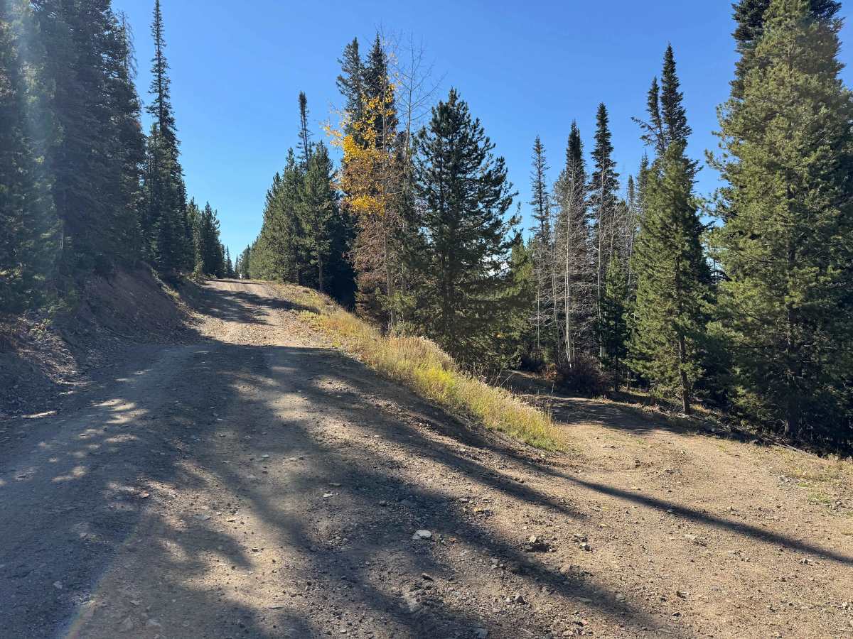
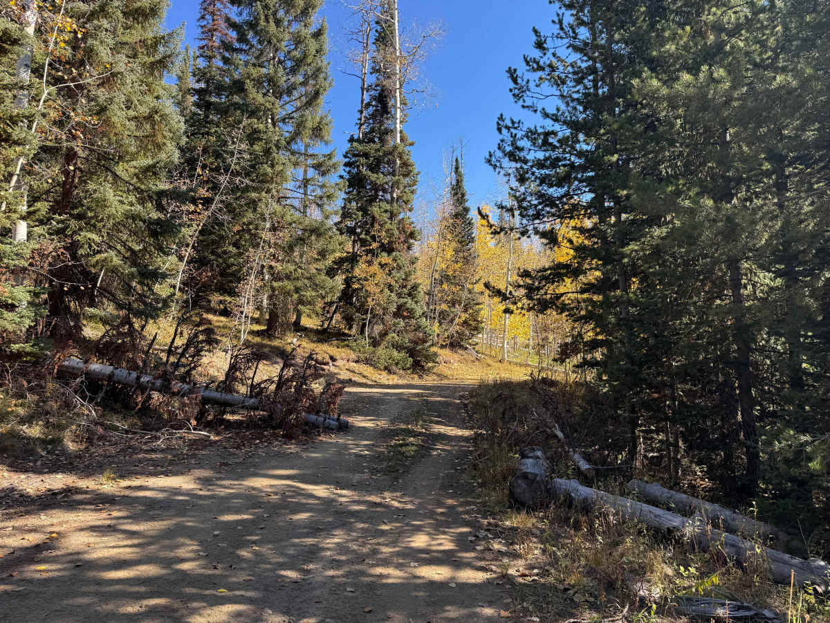
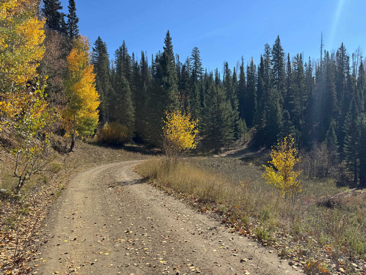
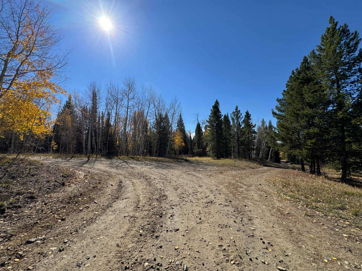
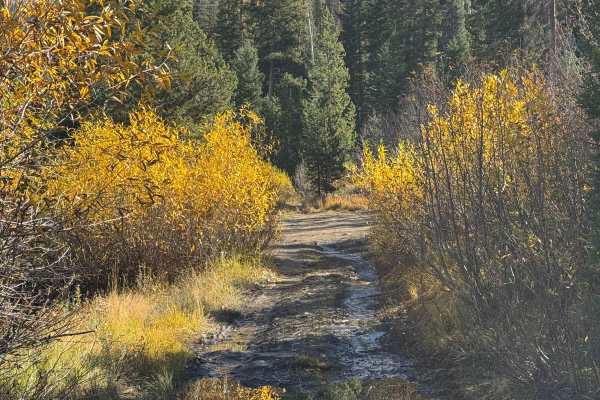
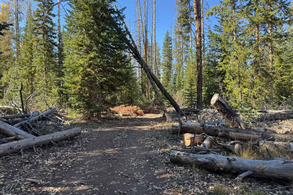
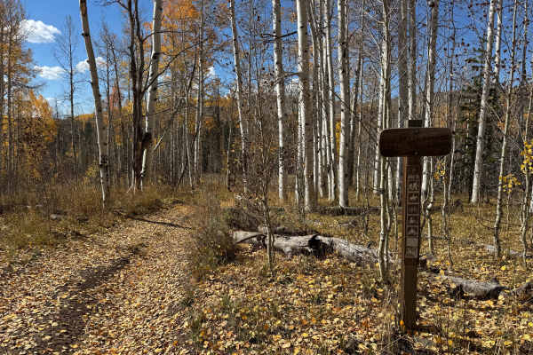
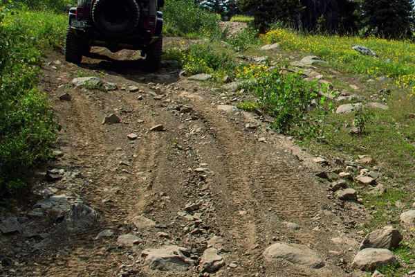
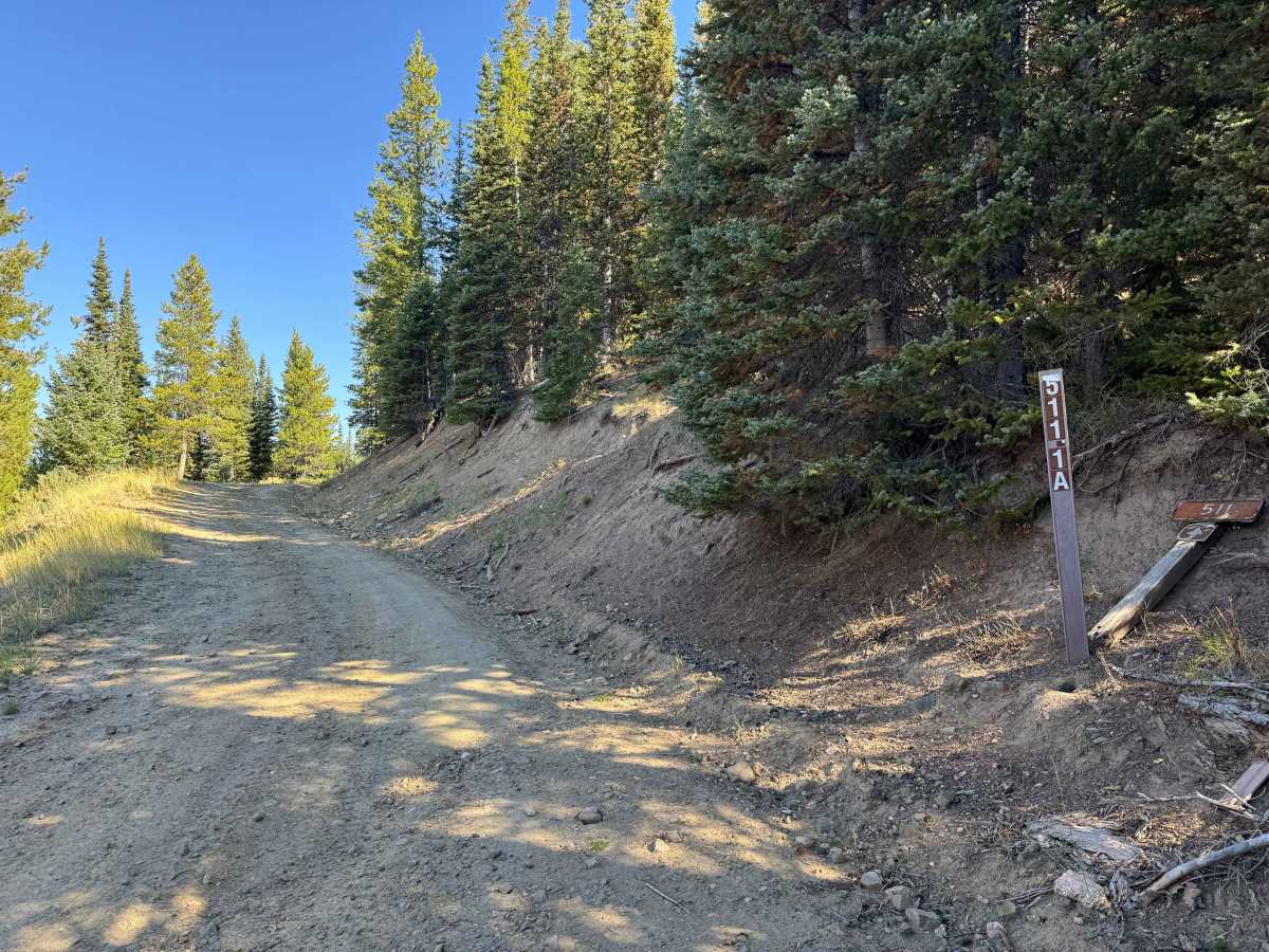
This out-and-back route begins along FS 550 and gradually climbs approximately 500 to 600 feet into the surrounding mountains. The trail offers a smooth, scenic ride with relatively little rough terrain, allowing you to make good time as you work your way uphill. There are a few rocky, rutted sections that require some attention, but overall the route is straightforward and enjoyable. Along the way, you’ll encounter beautiful mountain views and several sections where fallen trees may require you to maneuver around them. The trail eventually ends in a small camping area with plenty of room to turn around before heading back the way you came. This is a great option for a relaxed scenic drive into the mountains without significant technical challenges.

Photos of FS 511-1A

Difficulty

In dry conditions, this is a relatively easy trail with only a few short climbs and minor ruts along the route. The terrain is generally manageable, with no significant obstacles or technical sections to navigate. Overall, it is a straightforward trail suitable for most capable vehicles when conditions are dry.

Technical Rating

2

FS 511-1A Trail can be accessed by the following ride types:

  • Single Track
  • 50 Inch
  • 60 Inch
  • High Clearance
  • Full Width

FS 511-1A Map

The onX Offroad Difference

onX Offroad combines trail photos, descriptions, difficulty ratings, width restrictions, seasonality, and more in a user-friendly interface. Available on all devices, with offline access and full compatibility with CarPlay and Android Auto. Discover what you're missing today!

Open Trail Map