Trail Overview
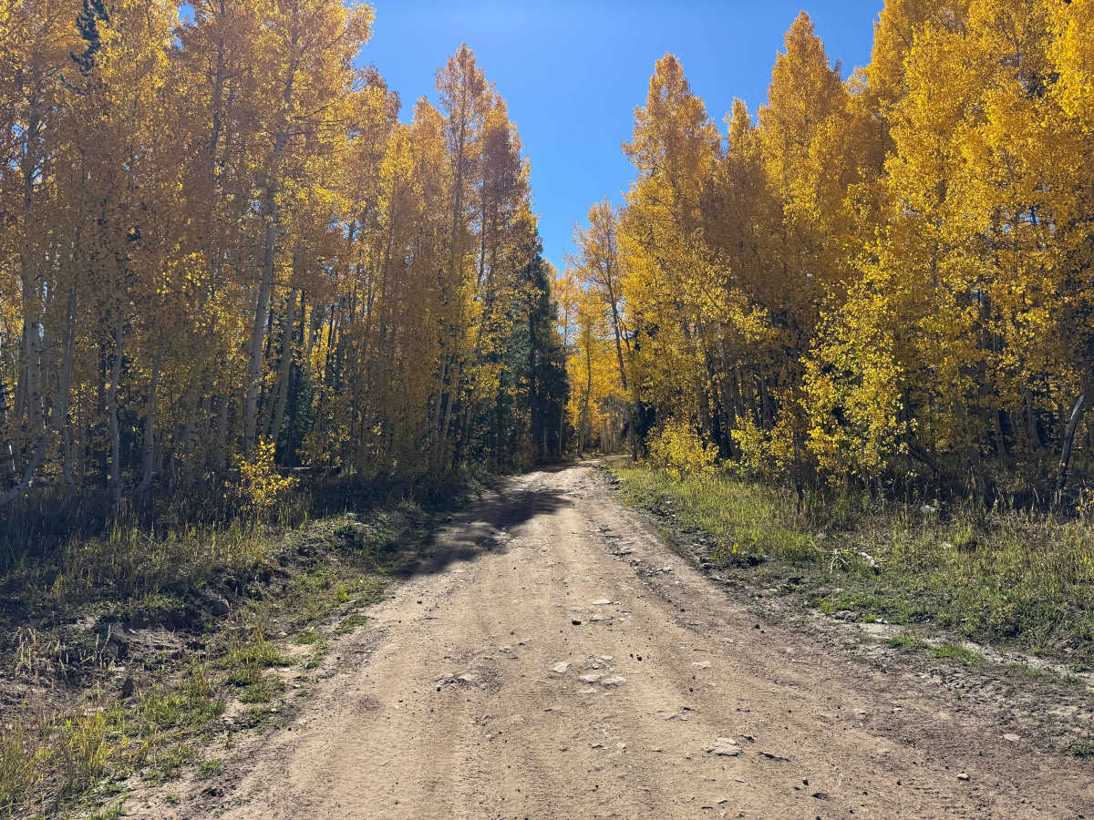
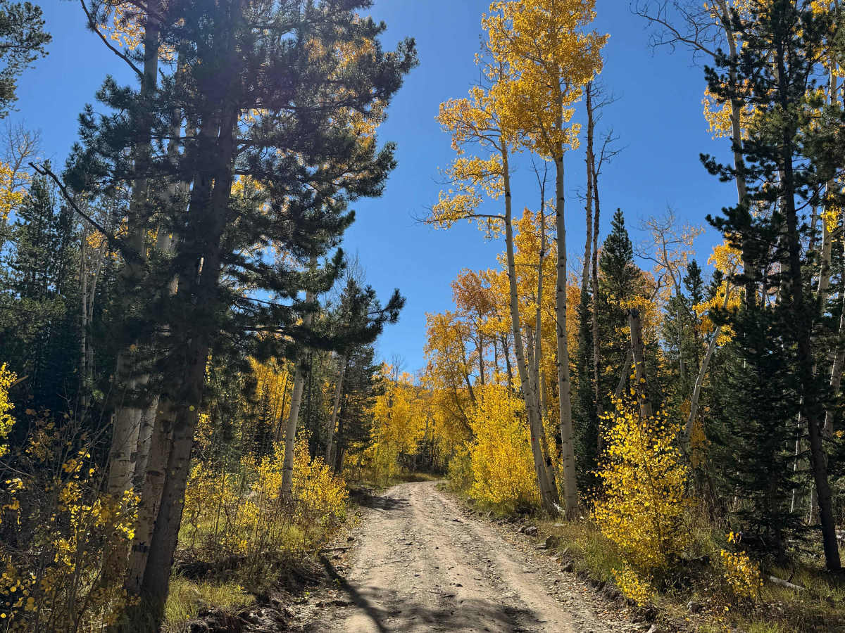
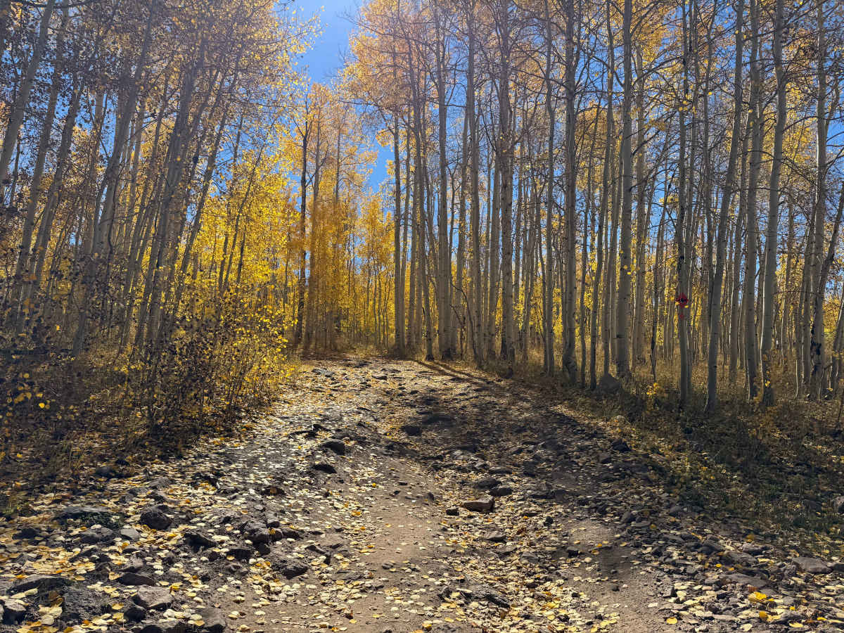
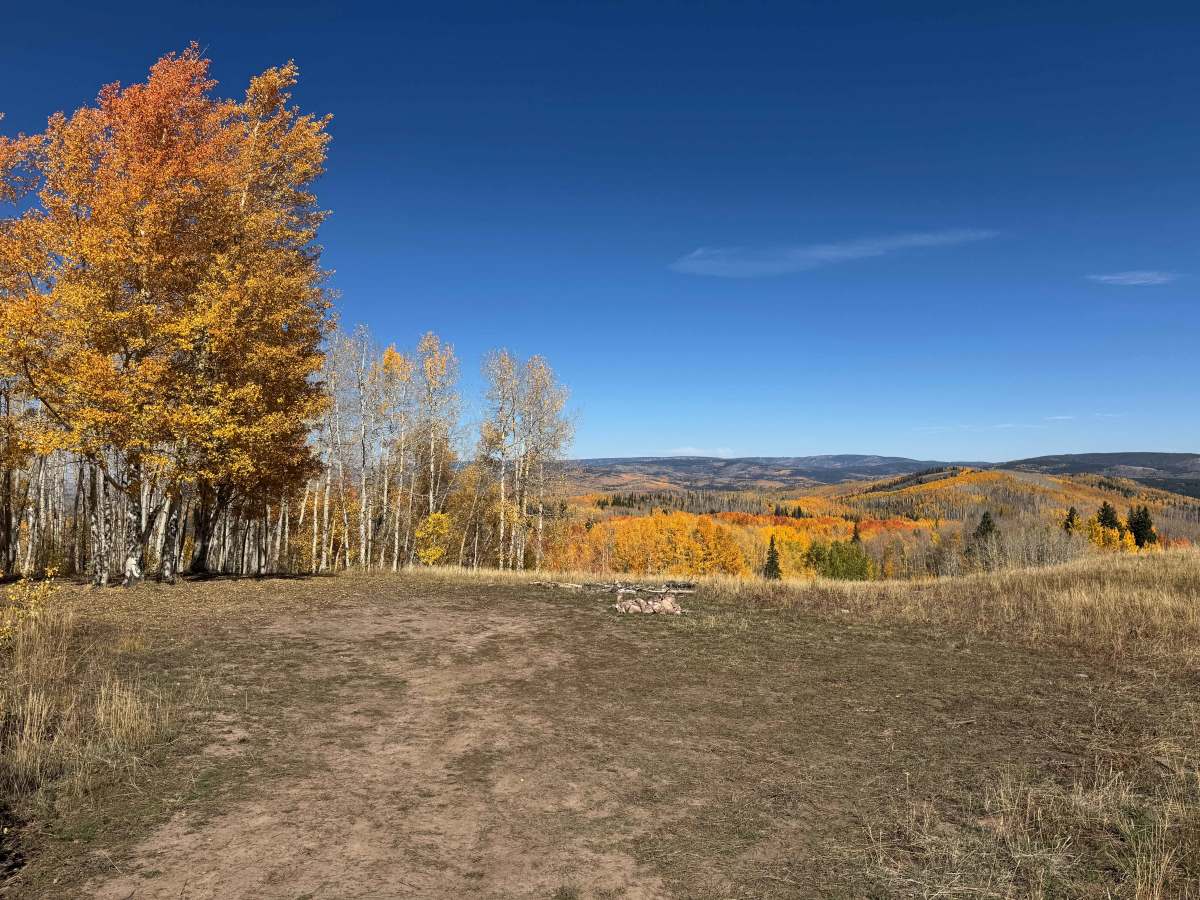
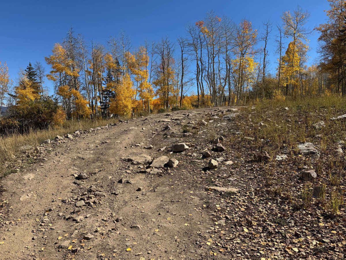
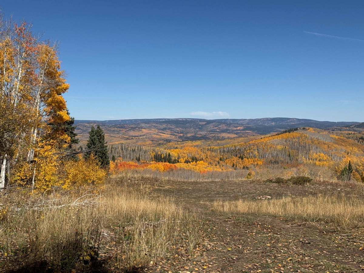
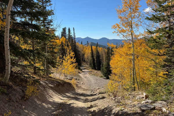
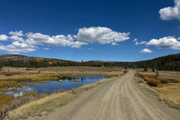
This is the least difficult of the three trails beginning at the Elkhorn Staging Area, making it a great choice for drivers looking for a scenic introduction to the area without the more challenging terrain found on the nearby routes. The trail starts relatively easy, with a combination of loose and embedded rocks as it gradually climbs through the forest. After the initial climb, the route levels out and passes two or three particularly scenic, flat campsites on the left. Along the way, expect a few mud holes and rutted sections, especially after wet weather. As the trail begins descending and skirts the base of one of the smaller mountains below Hahn Peak, the ride becomes smoother, although several loose-rock sections require controlled speeds and careful wheel placement. Fall is an especially beautiful time to explore this route when the surrounding foliage changes color. Wildlife is abundant, and sightings of deer, elk, moose, and black bear are possible. The trail eventually intersects FS 414, which continues toward the nearby wilderness area.
Difficulty
In dry conditions, this is not an especially difficult trail, although there are several sections where 4WD and careful wheel placement may be necessary. A few short, loose-rock chutes require controlled speeds and attention to tire placement, particularly when traveling downhill. Most of the route consists of relatively manageable terrain, with no embedded rocks larger than approximately one foot in height. Overall, the trail offers a moderate off-road experience without any major obstacles, making it accessible to experienced drivers in properly equipped 4WD vehicles. Conditions can change considerably after rain or snow, so expect the loose sections and any ruts to become more challenging when wet.
History
The history of trails in this area goes back well before modern Forest Service roads. Early transportation routes often followed Native American and wildlife corridors, natural passes and the easiest terrain through the mountains. As mining, ranching and settlement expanded during the late 1800s and early 1900s, these paths developed into wagon roads, freight routes and livestock trails. The Lamb Trail near Steamboat was used to move sheep toward market, while the Wyoming Trail served ranching and sheep-driving operations between Wyoming and the Yampa Valley. The arrival of the railroad in 1909–1912 greatly expanded access and helped drive the development of mining, ranching and tourism. The Routt National Forest itself was established as the Park Range Forest Reserve in 1905 and renamed the Routt National Forest in 1908. Many of today’s roads and trails are essentially modern versions of these historic transportation corridors.