Trail Overview
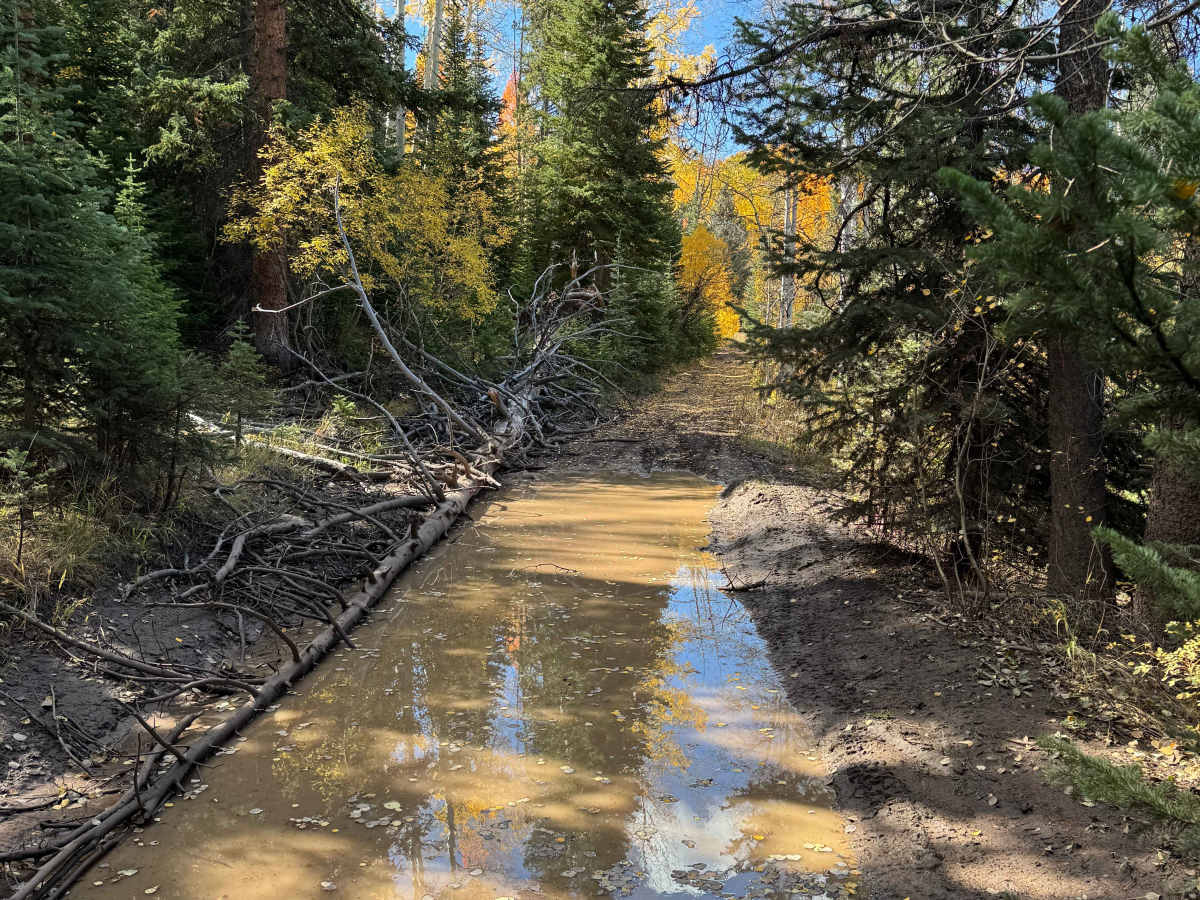
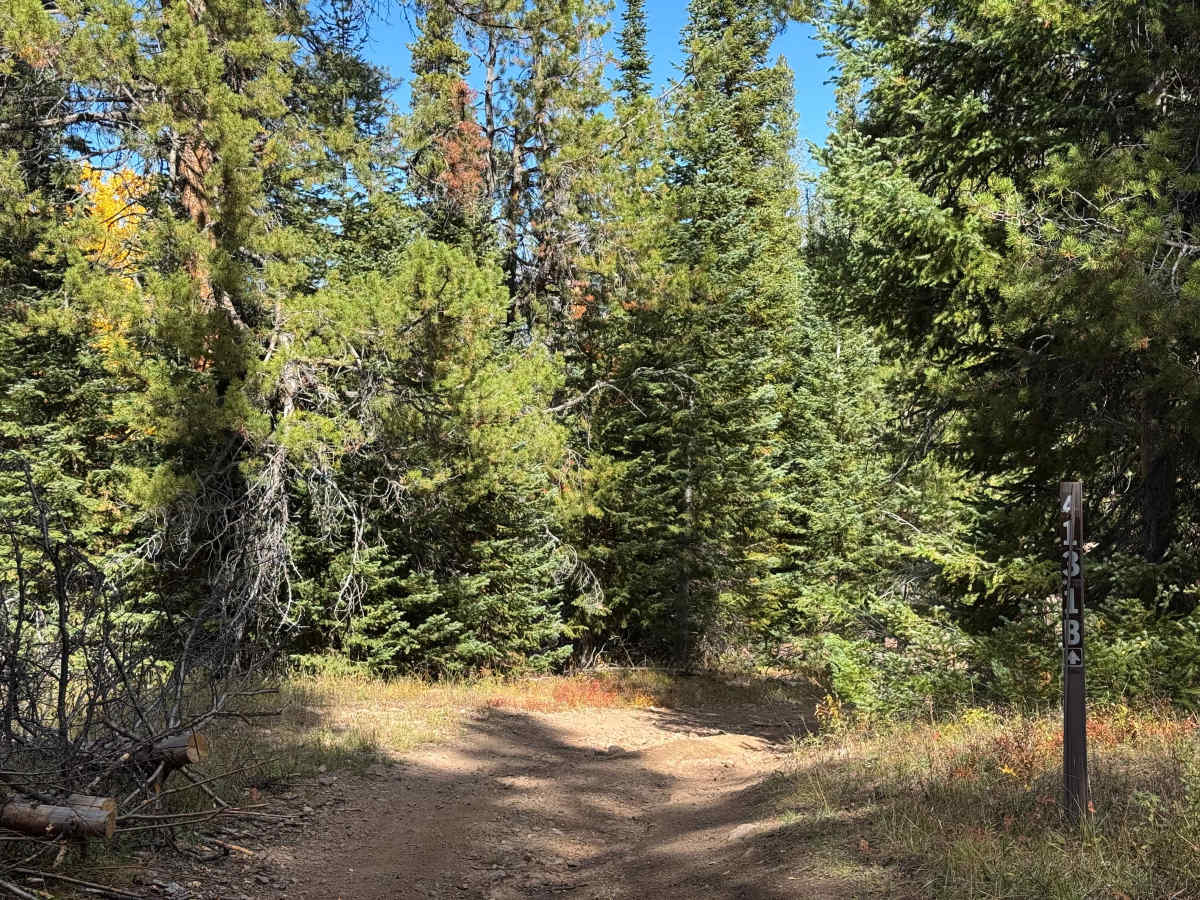
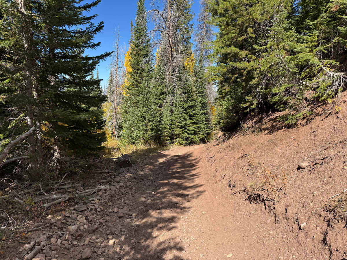
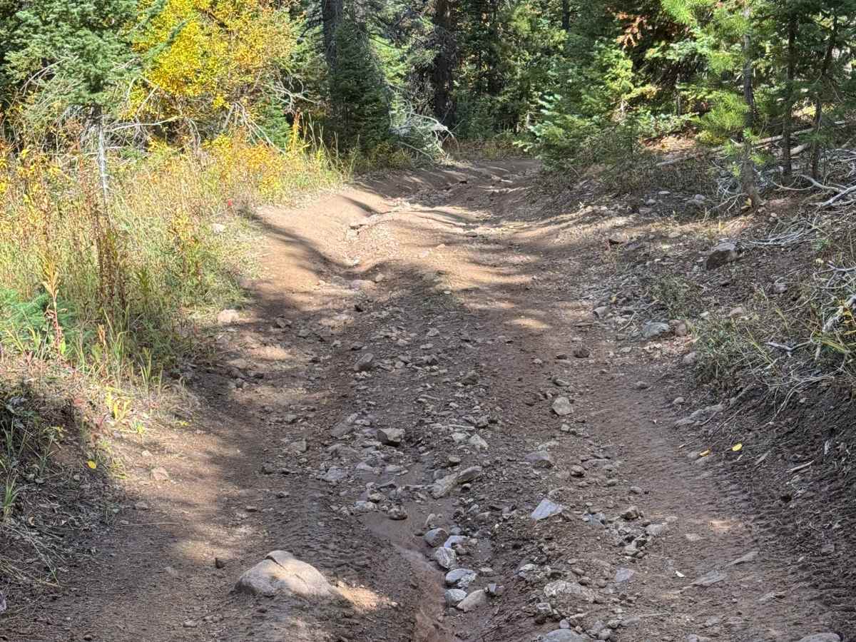
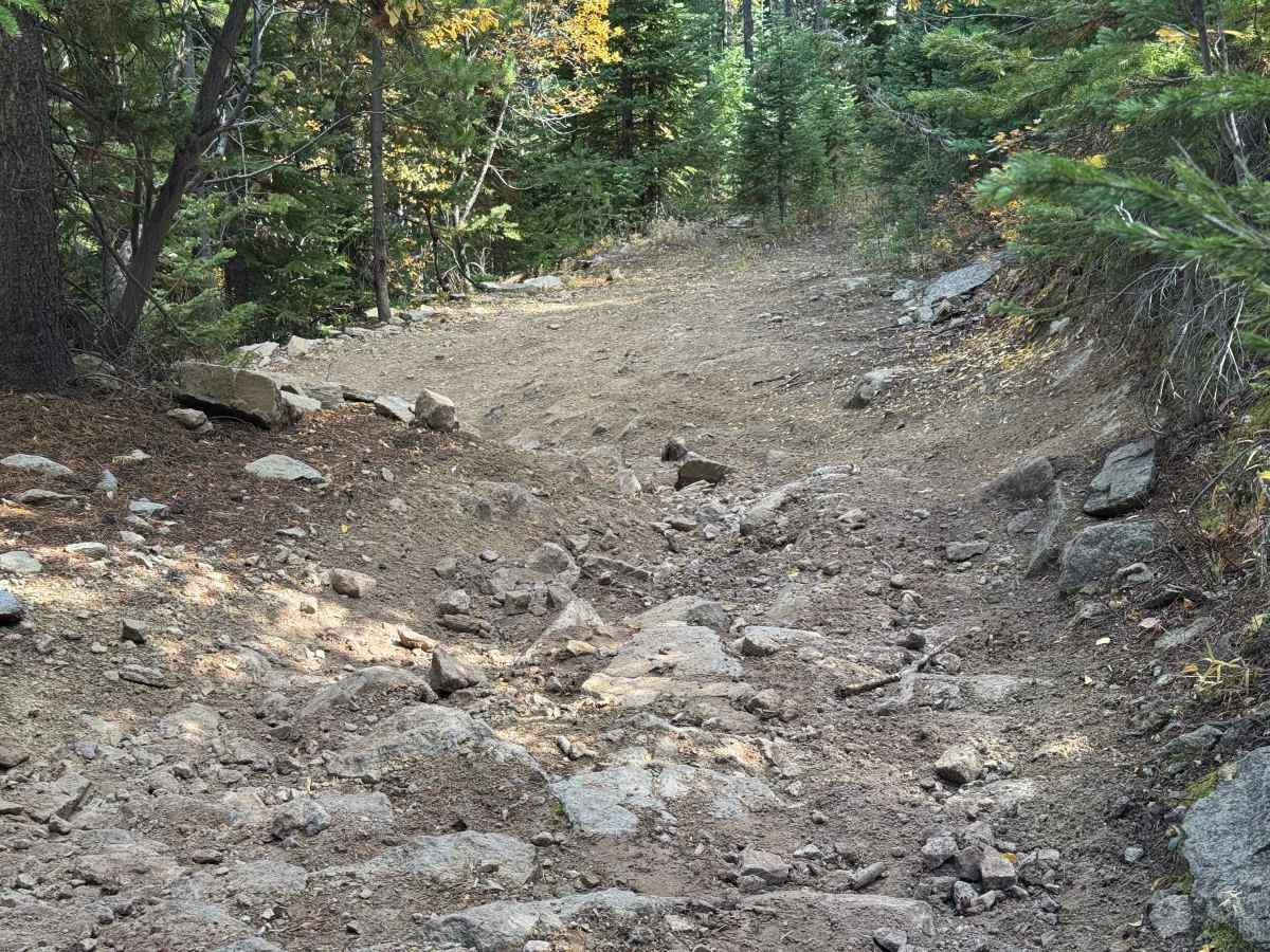
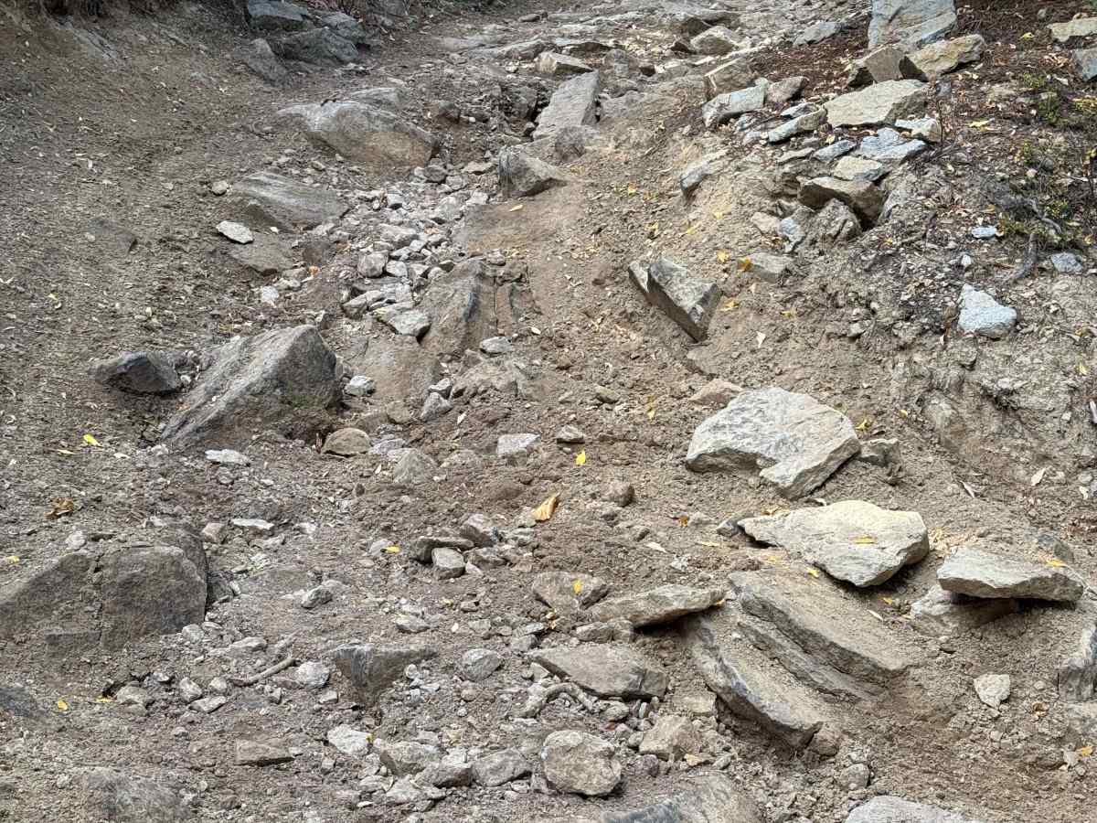
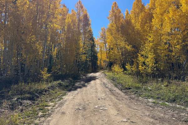
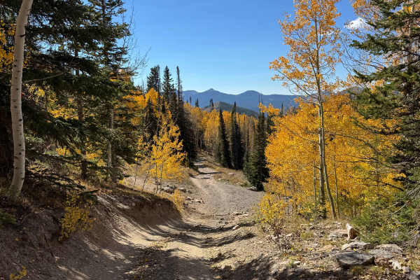
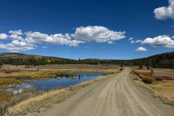
For a relatively short trail, this route offers a surprisingly diverse range of challenges from beginning to end. The trail starts almost immediately with several large, long, and deep mud holes that can become particularly difficult after heavy rainfall. Beyond the flatter opening section and multiple water crossings, the route begins climbing through increasingly rocky and technical terrain. Several areas contain large embedded rocks exceeding 12 inches in height, with some approaching 18 inches, mixed with loose rock and steep grades. The first major steep corner, marked by numerous large rocks, requires careful wheel placement, substantial ground clearance, and an experienced driver. Having a spotter outside the vehicle is highly recommended to help identify the best line and avoid damaging the vehicle. Additional rocky sections follow, although they are somewhat less demanding, before reaching another very steep, loose-rock climb that requires controlled throttle, careful line selection, and patience. Despite the technical challenges, this is an exceptionally scenic route, with beautiful mountain views, abundant natural surroundings, and opportunities to encounter a variety of wildlife. The trail eventually ends at FS 413.
Difficulty
This trail has a fairly high level of difficulty and is best suited for an experienced driver with a capable 4WD vehicle and a spotter. The numerous mud holes should be carefully inspected for depth before entering, with deeper sections avoided whenever possible. As the trail climbs higher into the mountain, the terrain becomes increasingly technical, with steep rocky sections requiring a spotter to help guide precise wheel placement. Airing down the tires, maintaining adequate ground clearance, and choosing the correct line are important throughout these sections. The final half of the trail includes several steep, loose-rock chutes that can be particularly challenging when traveling uphill. These sections require careful throttle control, 4WD low range, and properly aired-down tires to maintain traction and prevent unnecessary wheel spin.
History
The history of trails in this area extends well beyond the establishment of modern Forest Service roads, with many early routes following paths already used by Native Americans and wildlife. These corridors typically followed natural passes, valleys, ridgelines, and the easiest terrain through the mountains. As mining, ranching, and settlement expanded during the late 1800s and early 1900s, many of these established paths evolved into wagon roads, freight routes, and livestock trails. The Lamb Trail near Steamboat Springs was historically used to move sheep toward market, while the Wyoming Trail became an important route for ranching and sheep-driving operations between Wyoming and the Yampa Valley. The arrival of the railroad between 1909 and 1912 dramatically increased access to the region and contributed to the growth of mining, ranching, commerce, and eventually tourism. The Routt National Forest traces its origins to the Park Range Forest Reserve, established in 1905, and was renamed the Routt National Forest in 1908. Many of the roads and trails traveled today follow, at least in part, these historic transportation corridors.

 Offroad