Trail Overview
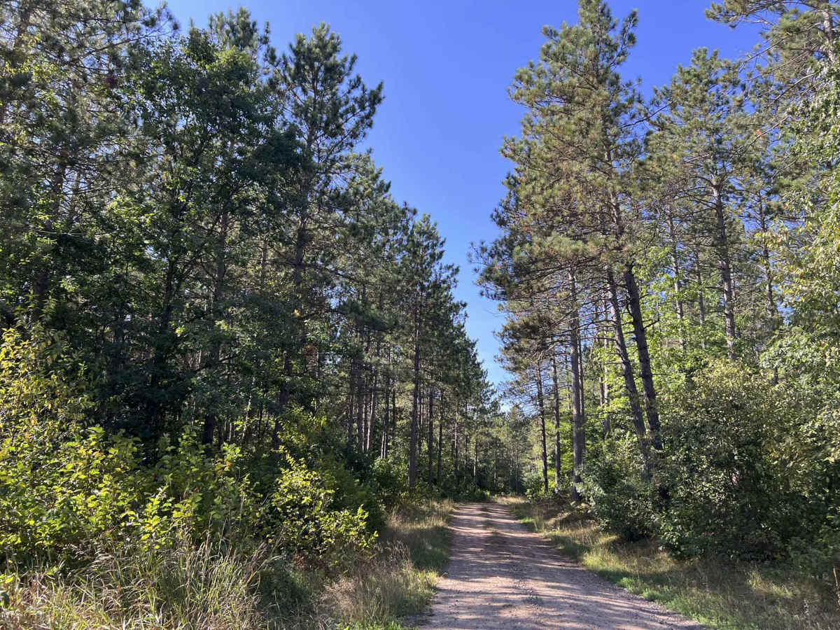
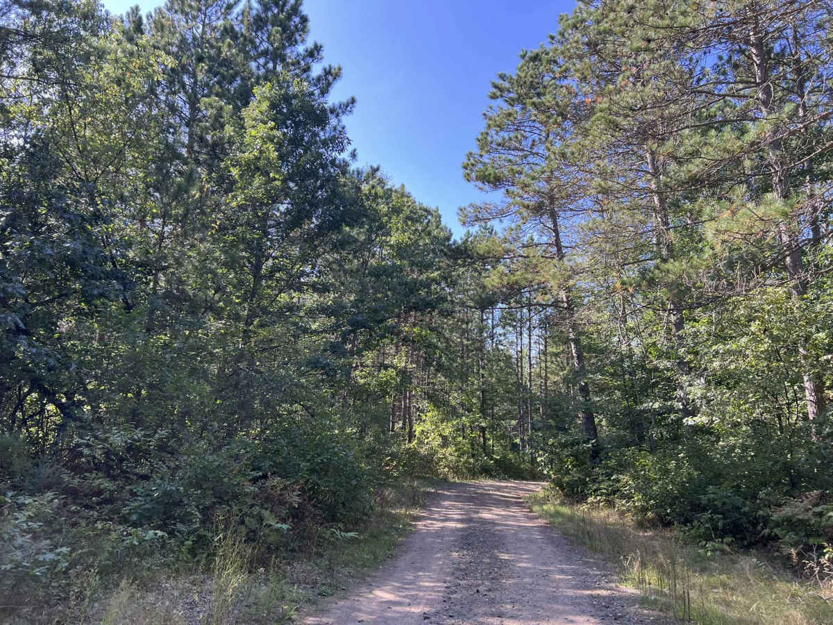
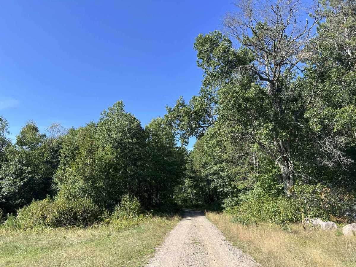
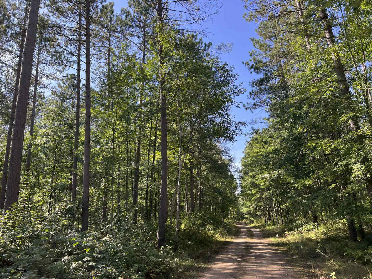
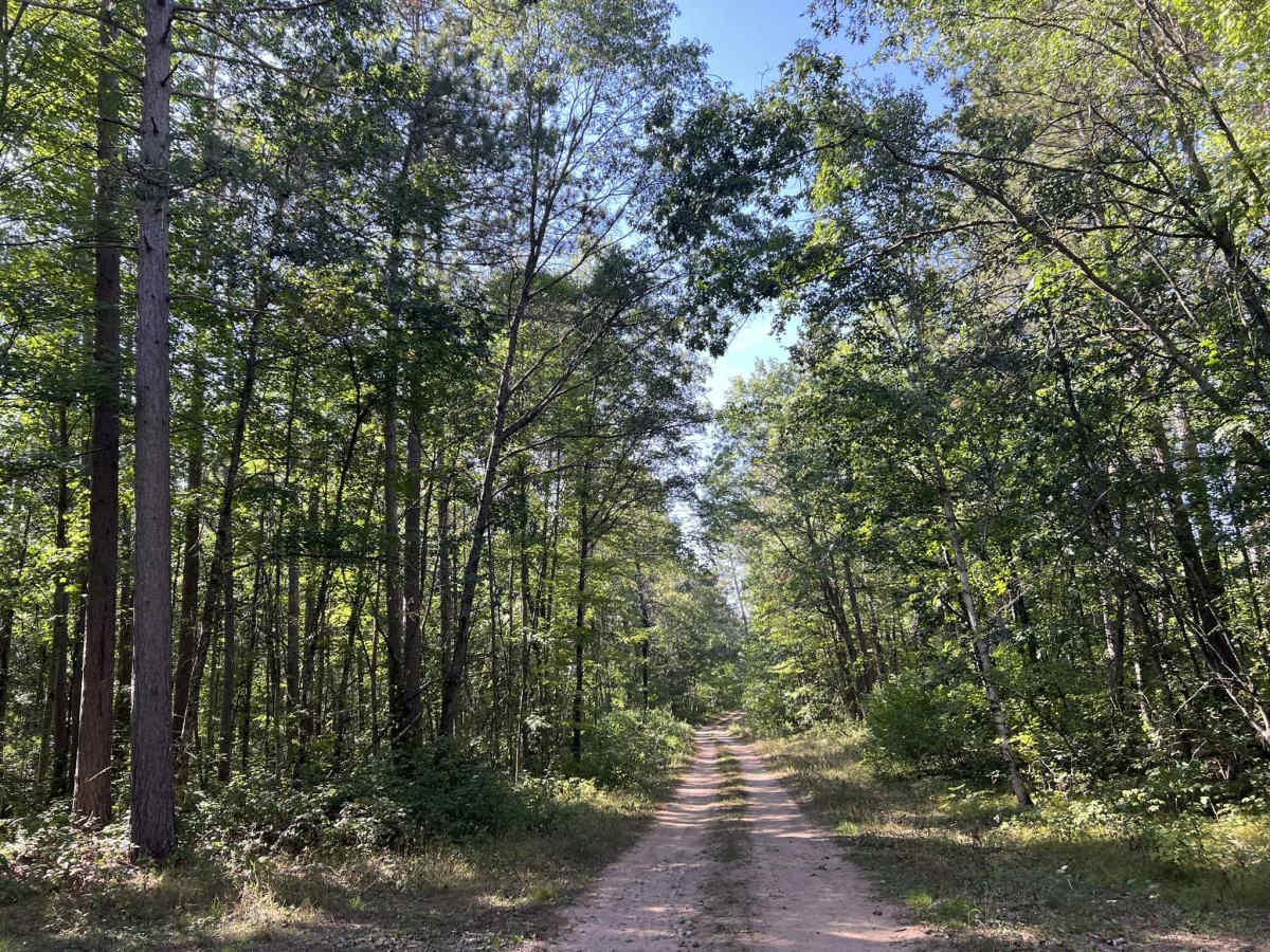
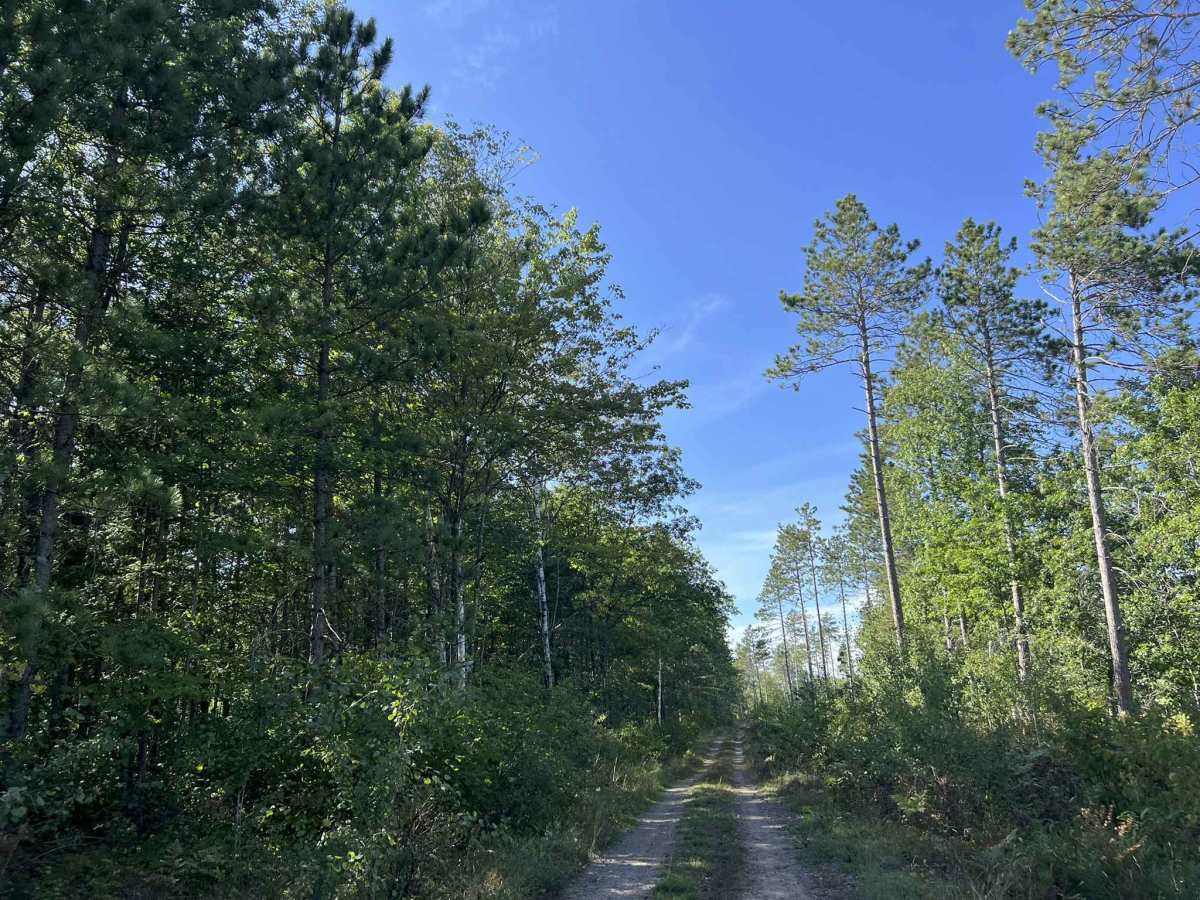
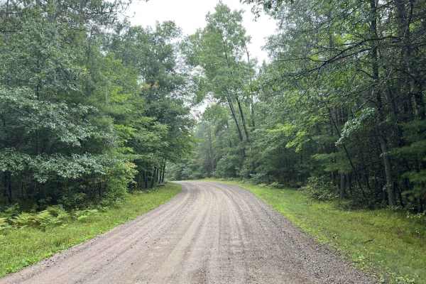
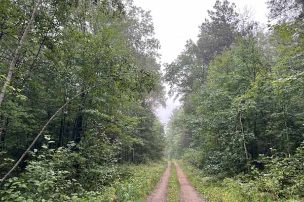
FS 2325 is a gravel/ dirt two track trail open from 9-1 to 11-30 that is used to access the popular seasonal 2325A trail. This trail runs from Martin Lane to its endpoint at a creek. The trail has very moderate terrain in comparison to 2325A and is suitable for any vehicle to traverse it safely. There are gentle rolling hills, as well as large rock formations that can be seen off this trail. These rock formations along the trail are not legal for vehicles to navigate but would make an excellent place for lunch or to camp, as there are several flat sections, as well as grass flat open areas next to the formations. Sight lines on this trail are good and are only marginally obstructed in some areas by the rolling hills on the trail or the overgrowth located along the edge of the trail. Cell service in this region is generally good and is typically only slowed in peak summer months when there is increased traffic in the area.
Difficulty
While this trail is narrow and traverses some mild rolling topography, there are no large obstacles that will need to be traversed. Mud holes on this trail are typically less than 2 inches. in depth if they do develop, and hillsides do not typically wash out. If a vehicle is met when traveling on this trail, passing will either need to happen with one vehicle reversing to an open area, or both vehicles pulling off to the edge of the trail.


 Offroad