Trail Overview
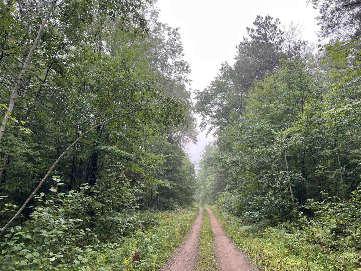
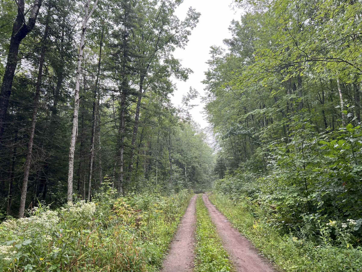
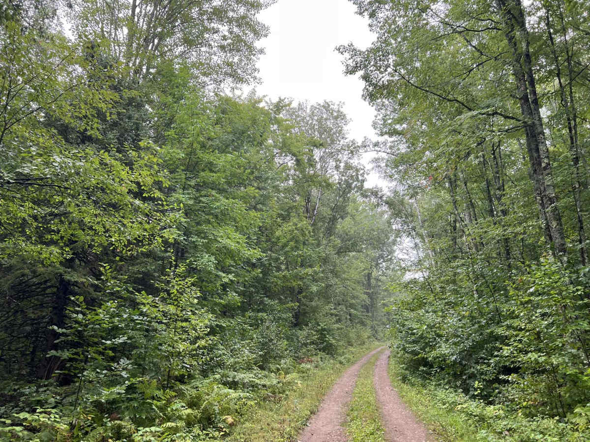
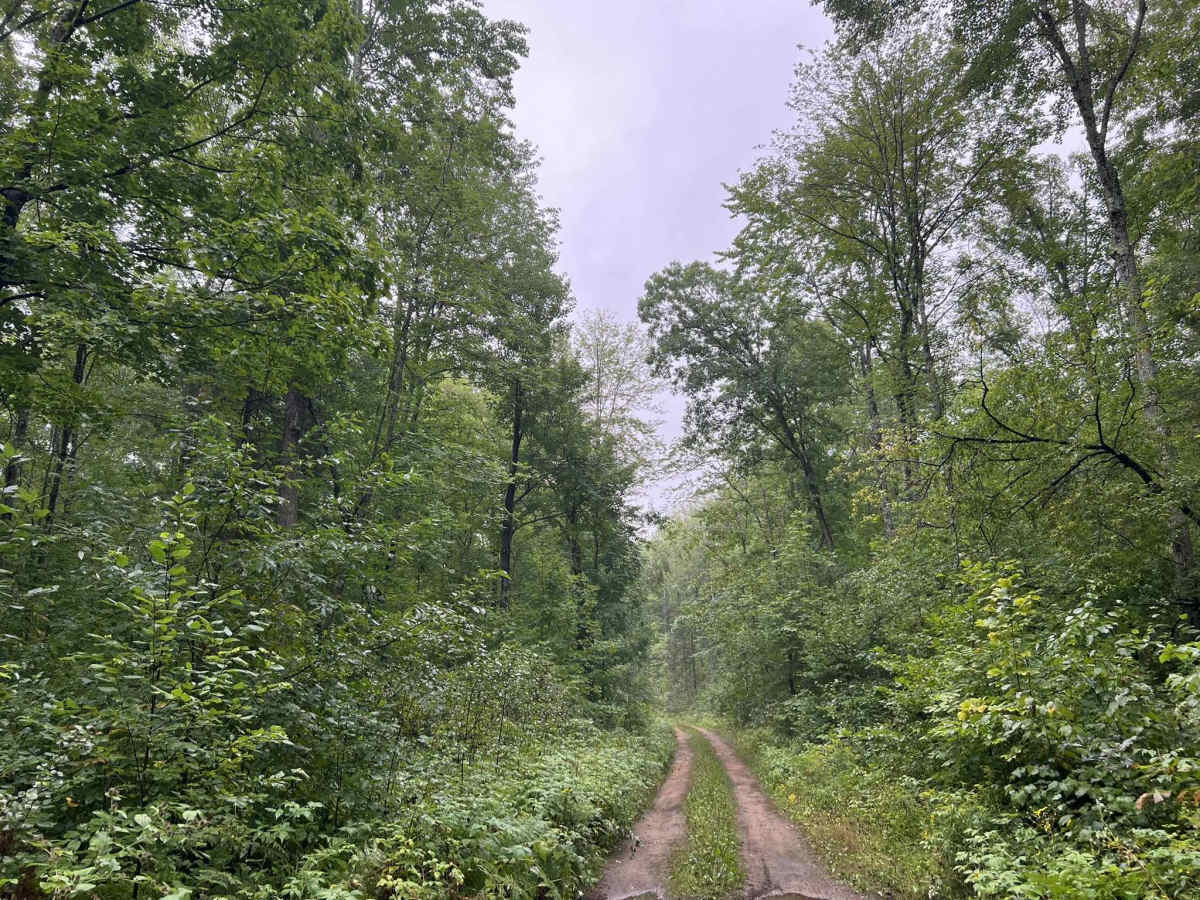
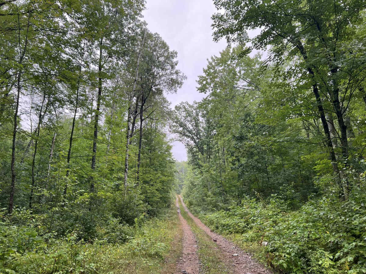
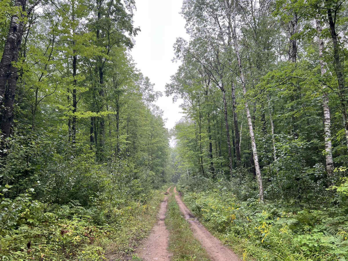
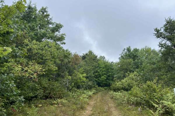
FS 2102L is a there-and-back style trail that begins at its intersection with FS 2102 and navigates northeast to its endpoint at the old Pipeline 4x4 Challenge trail. The dirt trail is a narrow two-track surrounded by dense forest. The trail surface is mostly dirt with a grassy center; there are baseball- to basketball-sized rocks that protrude through the surface throughout the trail. Mudholes and water spots on this trail are not super common thanks to the hard trail surface. As the trail progresses further to the northeast, it begins to get narrower, as it is used less. Pin striping is possible for larger vehicles later in the season as undergrowth gets larger. A large portion of this trail navigates along the western face of Thunder Mountain. This leads to large hillsides which can be seen on the eastern side of the trail. There are several clearings alongside the trail which have been used for dispersed camping. These are big enough for 2-3 full-sized vehicles to fit. Cell service in this area is generally acceptable but can be slowed in the peak summer months due to increased demand on the local towers. Please remember the Pipeline 4x4 Challenge trail located at the end of this trail is not open to any wheeled traffic.
Difficulty
This single-vehicle, wide two-track trail can be easily navigated by all vehicle types. Small clearings line the trail, along with pullouts that allow vehicles to pass. Sight lines on the trail are okay to good. This trail typically does not develop water spots or mud holes greater than 2 inches in depth. As the year progresses, the undergrowth along the trail will begin to creep into the trail, leading to the potential for pin stripping on larger vehicles.



 Offroad