10 trails found in Florida

Which "river road" are you looking for?

We found 10 off-road trails in Florida matching your search. Pick the one you're looking for below.

Learn more about East River Road North
East River Road North

East River Road North

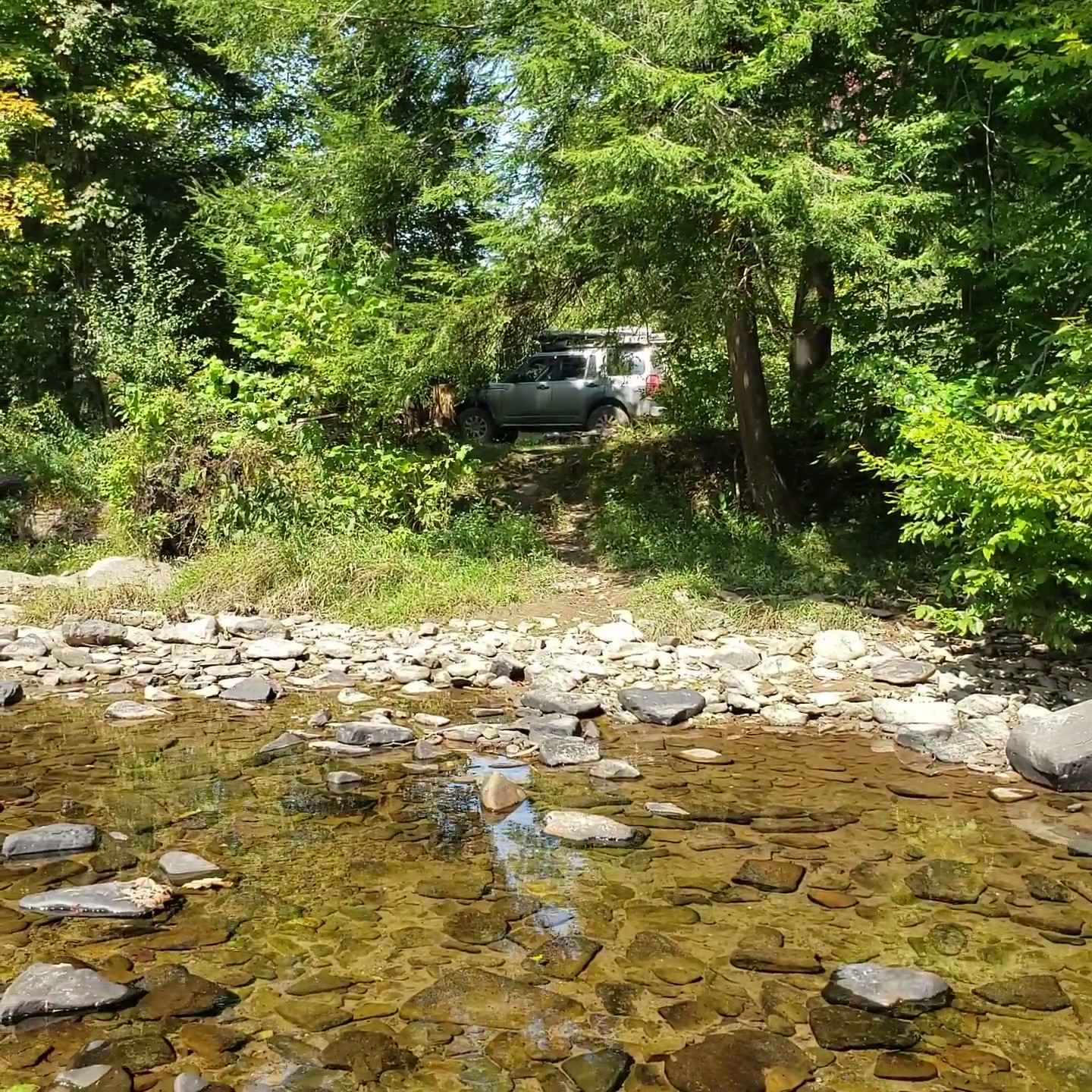
The north part of East River Road takes you along the east side of the New River and gives you access to several primitive campsites (#15-18) with river access. East River Road connects Rock Landing Road, County Line Road, and Boundary Road in the west part of Tate's Hell State Forest. The road cond...
Learn more about East River Road North

Total Miles
3.7
Tech Rating
5Moderate
Best Time
Spring, Fall, Winter
Learn more about West River Road
West River Road

West River Road

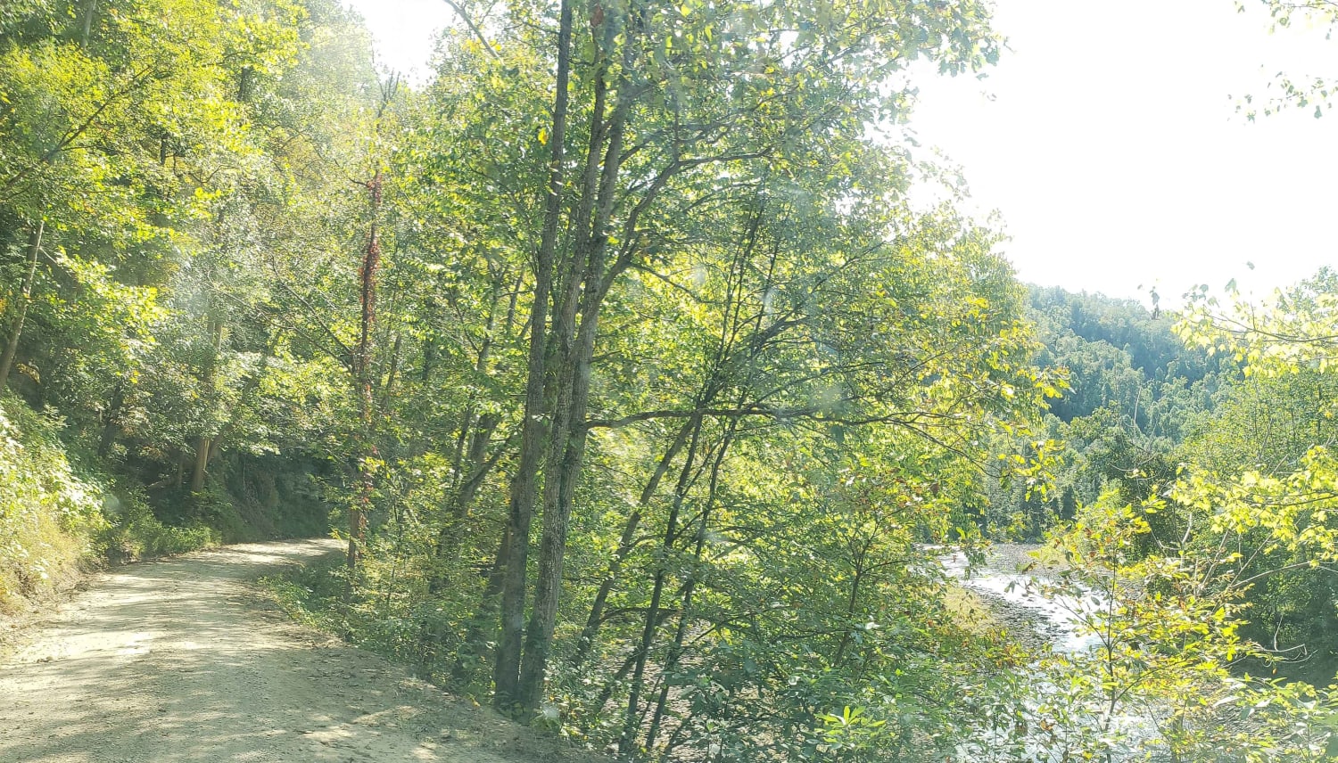
The West River Road takes you along the west side of the New River and gives you access to several primitive campsites (#5-9) with river access. West River Road connects River Road in the south with Gully Branch Road in the west part of Tate's Hell State Forest. The road conditions are a mixture of ...
Learn more about West River Road

Total Miles
6.7
Tech Rating
3Easy
Best Time
Spring, Fall, Winter
Learn more about Hyner River Road
Hyner River Road

Hyner River Road

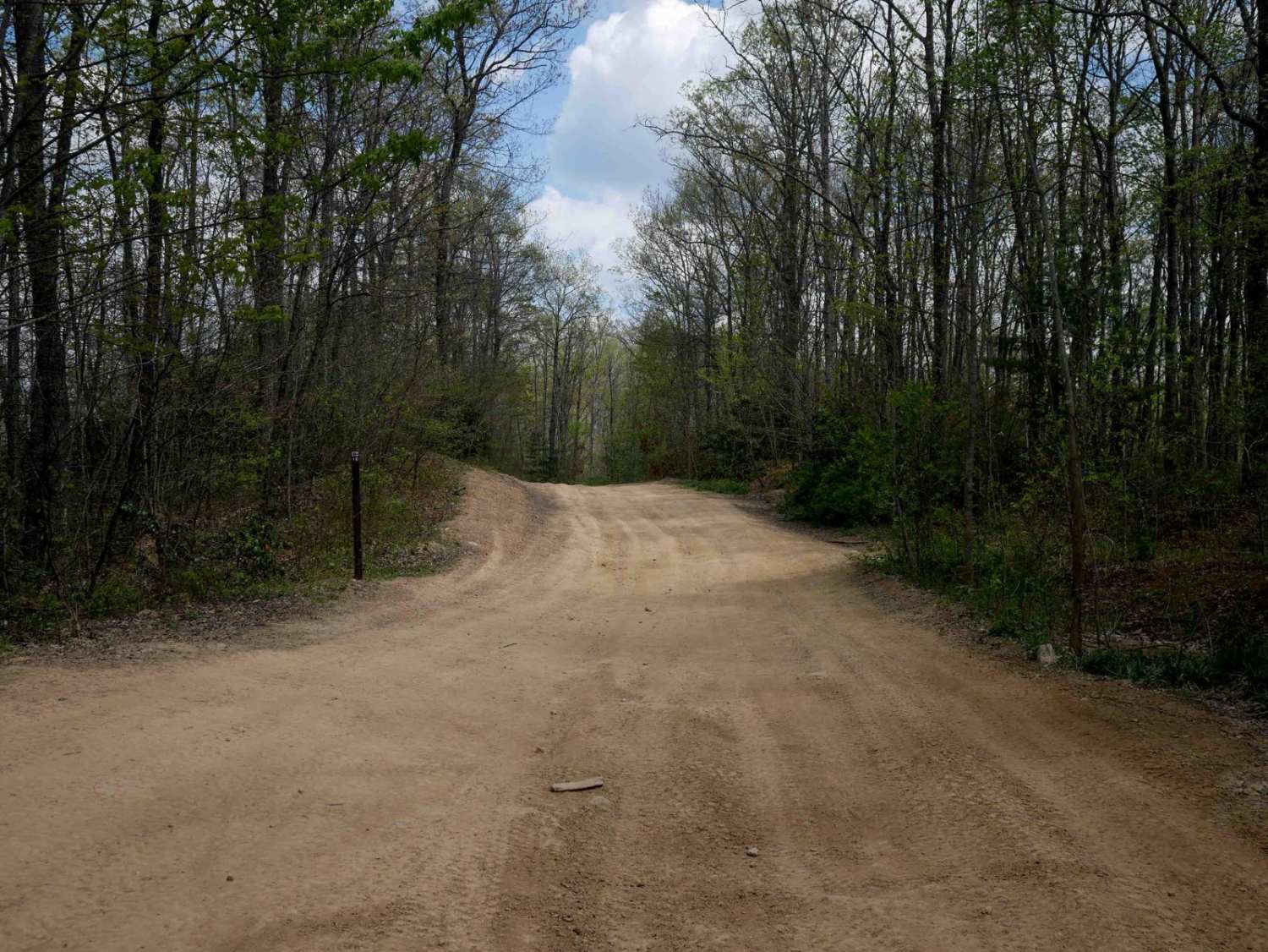
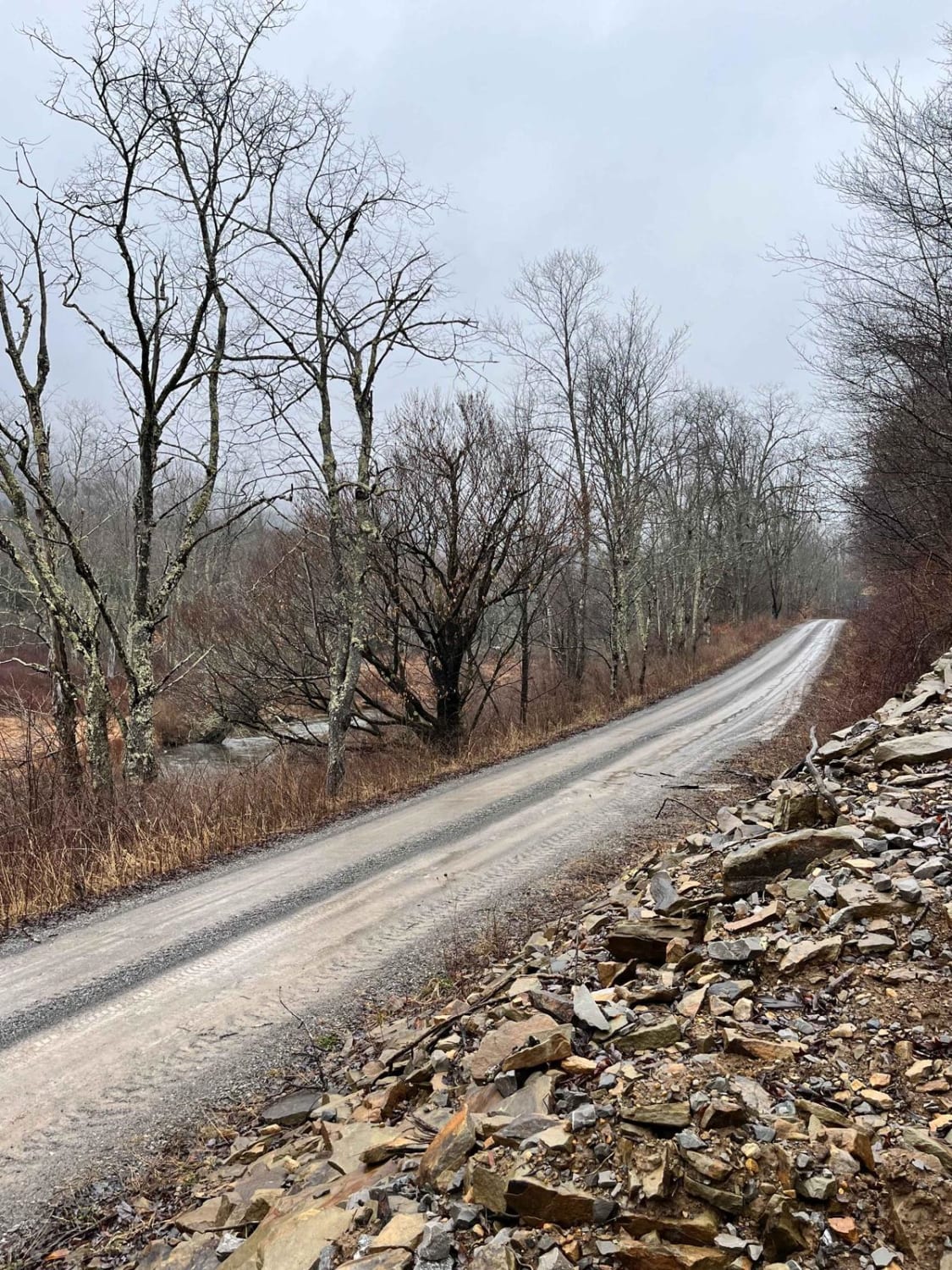
Hyner River Road is primarily a graded gravel road with multiple sections of dirt. The southern end is rutted dirt with a steep incline. It is an easy ride in the summer months, however, there is no winter maintenance. During times of rain, snow, and ice, the road can become rutted and harder to tra...
Learn more about Hyner River Road

Total Miles
9.9
Tech Rating
2Easy
Best Time
Spring, Summer, Fall
Learn more about River Road
River Road

River Road

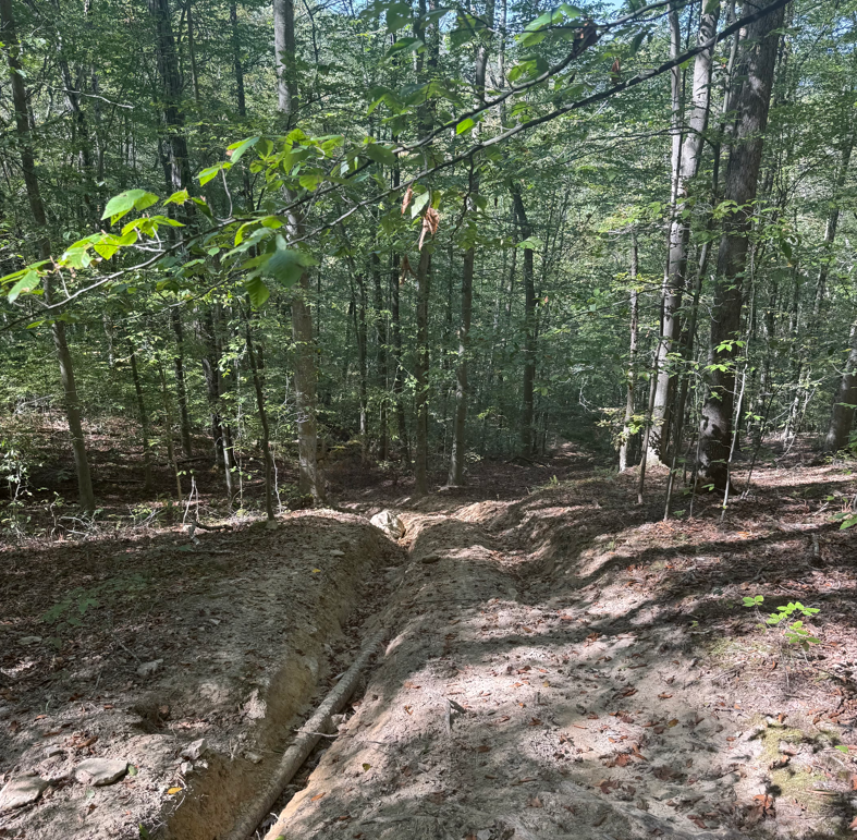
This narrow woodland path turns into a narrow rocky shelf road along the Upper Delaware River. The trail is in a non-maintenance Township and does pass through private property. STAY ON THE TRAIL! You will encounter landslides, downed trees, and snow/ice. The trail's highlight is where it passes thr...
Learn more about River Road

Total Miles
3.7
Tech Rating
3Easy
Best Time
Winter, Fall, Summer, Spring
Learn more about River Road East
River Road East

River Road East

River Road East is a route spanning the length of the southern half of Big Bend National Park from Talley Road east to Park Route 12. It is the access route for several campsites and popular points of interest such as Black Gap Road and the Mariscal Mine. It is primarily loose rock, with washboards,...
Learn more about River Road East

Total Miles
9.9
Tech Rating
3Easy
Best Time
Winter
Learn more about East River Road South
East River Road South

East River Road South

The south part of East River Road takes you along the east side of the New River and gives you access to several primitive campsites (#10-14) with river access. East River Road connects Rock Landing Road, Gully Branch Road, and East Double Bridge Road in the west part of Tate's Hell State Forest. Th...
Learn more about East River Road South

Total Miles
4.7
Tech Rating
3Easy
Best Time
Spring, Fall, Winter
Learn more about River Road
River Road

River Road

River Road is an amazing drive that gives access to some of the best attractions in the area. On the south end of the trail just off of Dilling Road is the Tippy Dam Recreation Area. During the drive, you will see amazing views of the surrounding forest as well as the Manistee River. The road is two...
Learn more about River Road

Total Miles
3
Tech Rating
1Easy
Best Time
Spring, Summer, Fall, Winter
Learn more about Turner River Road - CR 839
Turner River Road - CR 839

Turner River Road - CR 839

The Turner River Road, also known as County Road 839, starts at US 41 at the south end next to the H.P. Williams Wildlife Viewing Area and ends at Bear Island Trail and Campground in the north part of the Big Cypress National Preserve. The Turner River Road Scenic Drive takes you through open prairi...
Learn more about Turner River Road - CR 839

Total Miles
20.6
Tech Rating
2Easy
Best Time
Winter, Fall, Spring
Learn more about San Rafael River Road
San Rafael River Road

San Rafael River Road

San Rafael River Road is a very nice out and back route that takes you from the south entrance of Buckhorn Canyon into the Mexican Mountain Wilderness. Primarily an undulating dirt road with some wash crossings, exposed rock, and sand. There are no major obstacles to navigate. There are some short, ...
Learn more about San Rafael River Road

Total Miles
13.9
Tech Rating
1Easy
Best Time
Spring, Summer, Fall
Learn more about Owen's River Road
Owen's River Road

Owen's River Road

Owen's River Road actually starts at Hwy 395. It is paved for the first four miles. This trail starts when the paved turns to dirt, traveling over twelve (12) miles before ending at Benton Crossing Road. It is a graded dirt/sand road that follows the valley offering great views of Bald Mountain, Gla...
Learn more about Owen's River Road

Total Miles
12.3
Tech Rating
1Easy
Best Time
Summer, Fall, Spring

The onX Offroad Difference

onX Offroad combines trail photos, descriptions, difficulty ratings, width restrictions, seasonality, and more in a user-friendly interface. Available on all devices, with offline access and full compatibility with CarPlay and Android Auto. Discover what you're missing today!

Open Trail Map