Trail Overview
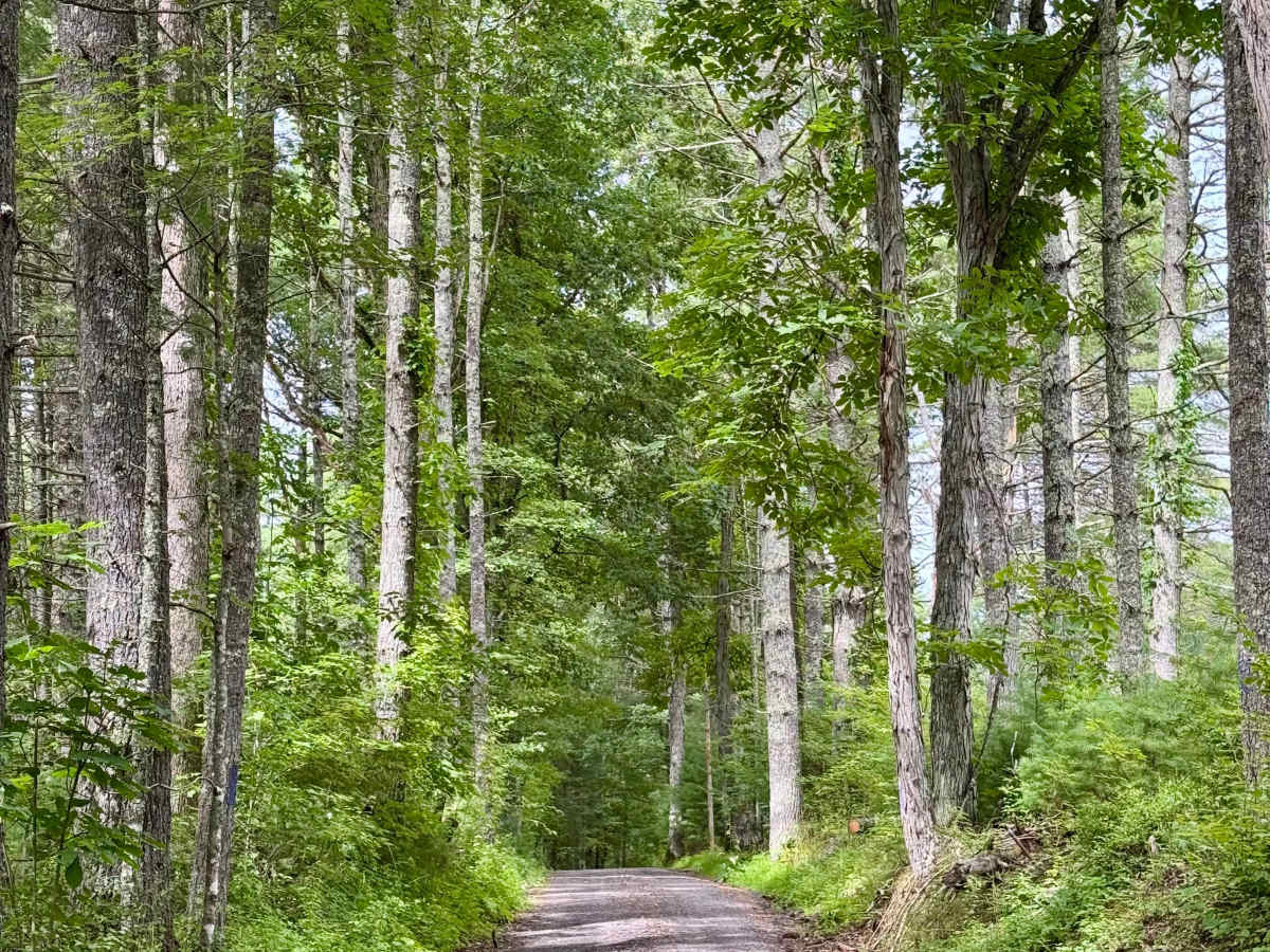
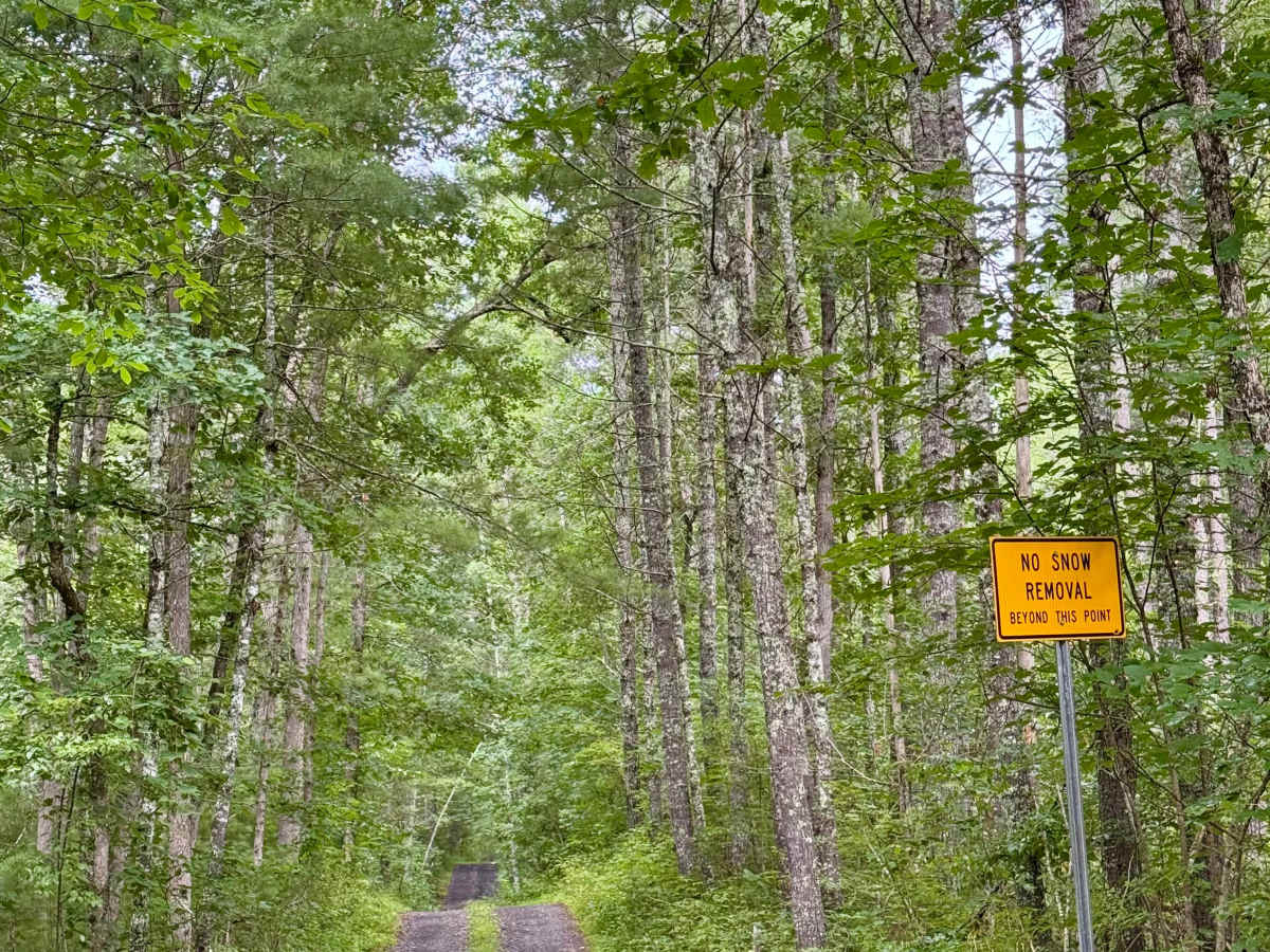
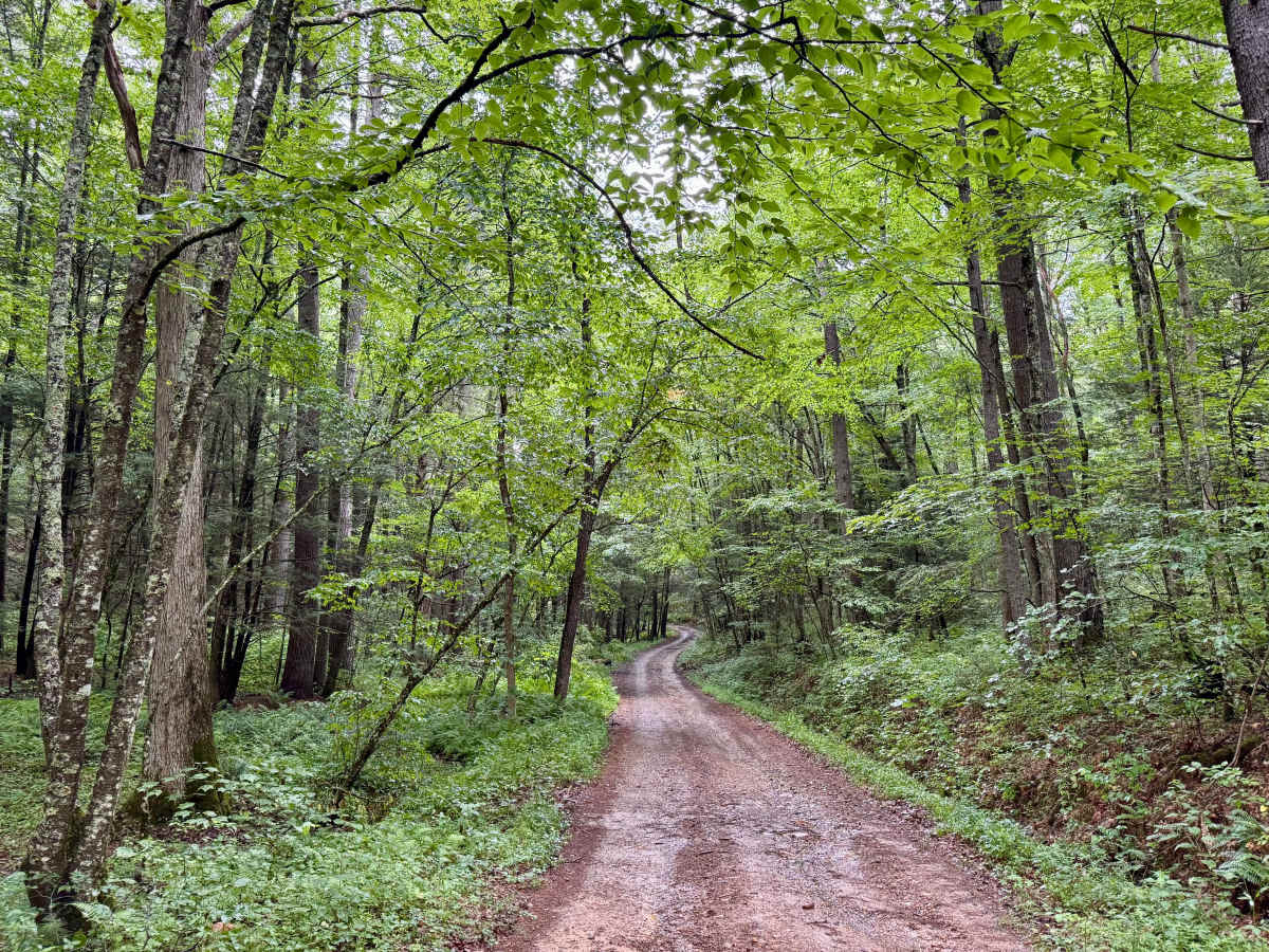
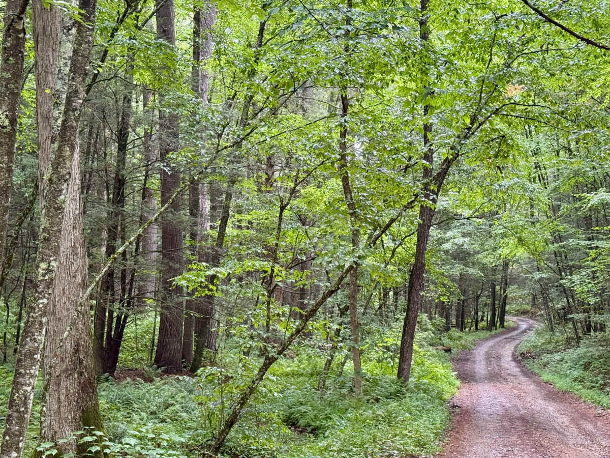
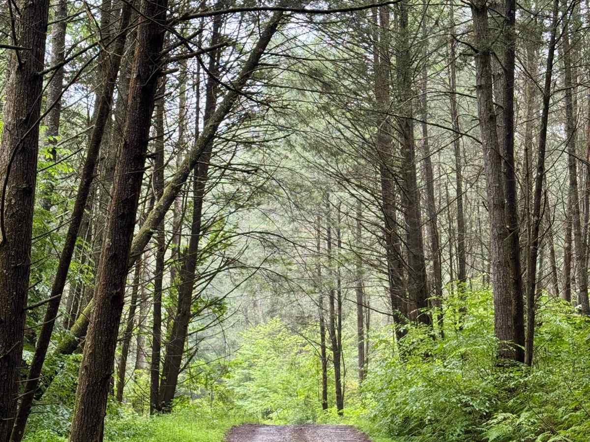
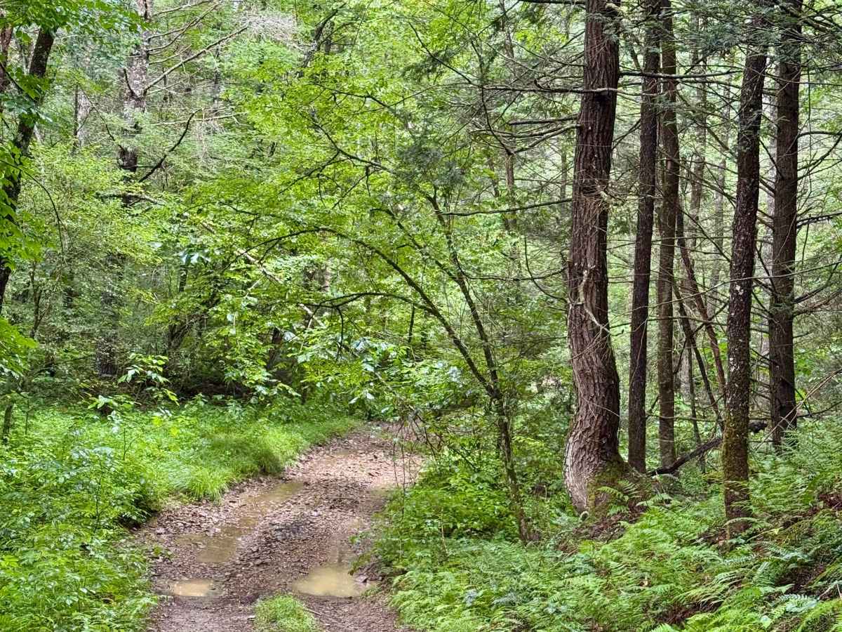
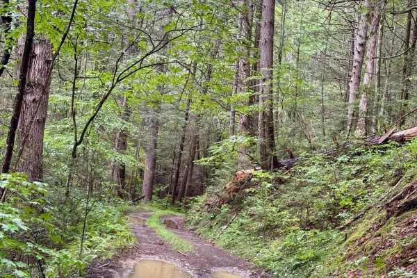
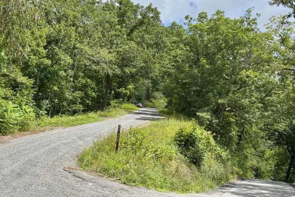
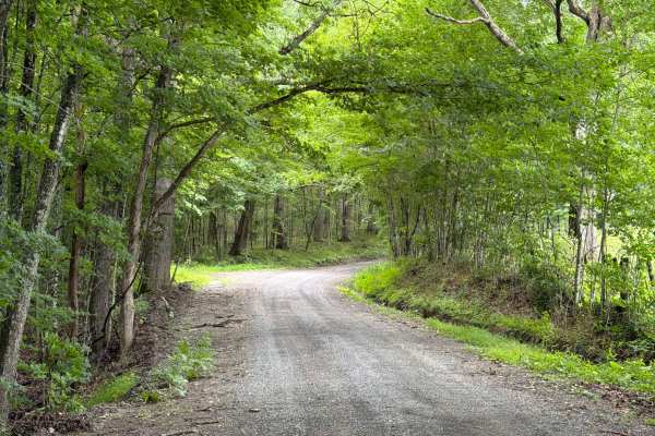
This is a remote, unmaintained county road that runs between the Neola Wildlife Management and some private tracts of land on both sides to the south before hitting the edge of the Spice Run Wilderness to the north. Until you reach the intersection with County Route 21 (Beaver Creek Road) at the north end, be aware of the property boundaries and respect the private landowners whose properties you are passing through. This is a very scenic and remote road that deteriorates from pavement to the south to gravel and eventually dirt. It also becomes quite narrow at the north end, but as there are private properties, you may encounter vehicles coming the other way, as County Road 21 at the north end requires high-clearance 4x4 and takes a couple of hours to negotiate. Go slow and be aware of your surroundings. There is enough room to turn around right before the intersection with County Road 21, where there is a Y in the road. Review the description and difficulty rating of that road before continuing north.
Difficulty
The road conditions deteriorate the further north you go. In dry conditions, any street-legal vehicle should be able to reach the north end, though the final transition to County Road 21 may require at least AWD, depending on conditions.