Trail Overview
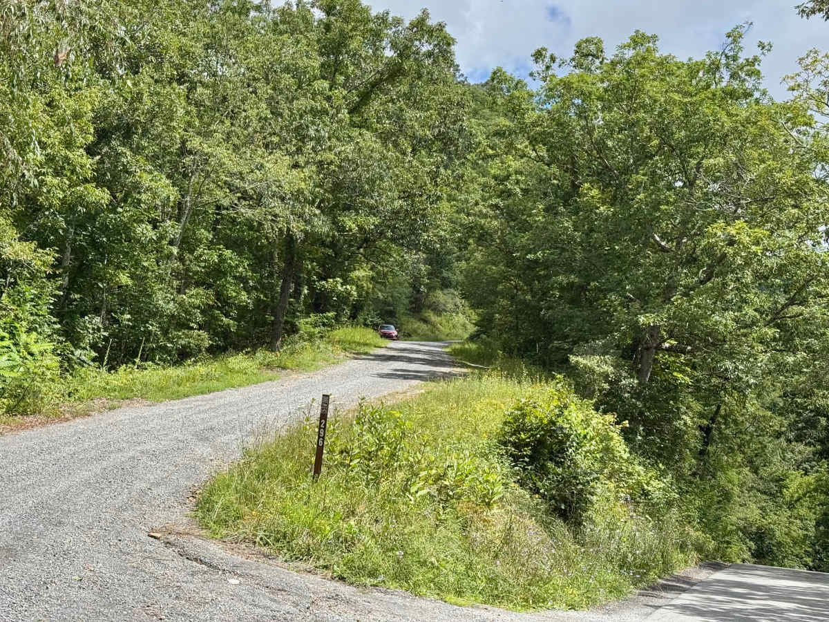
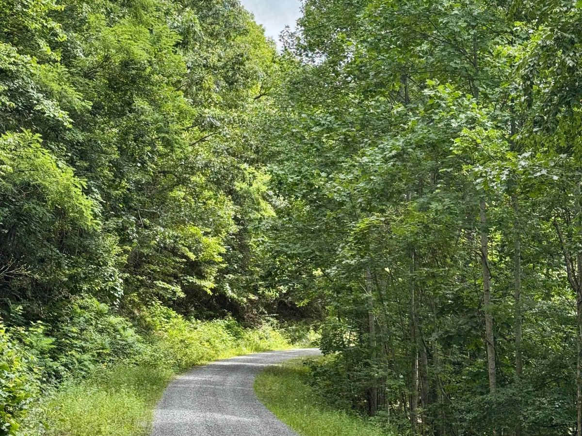
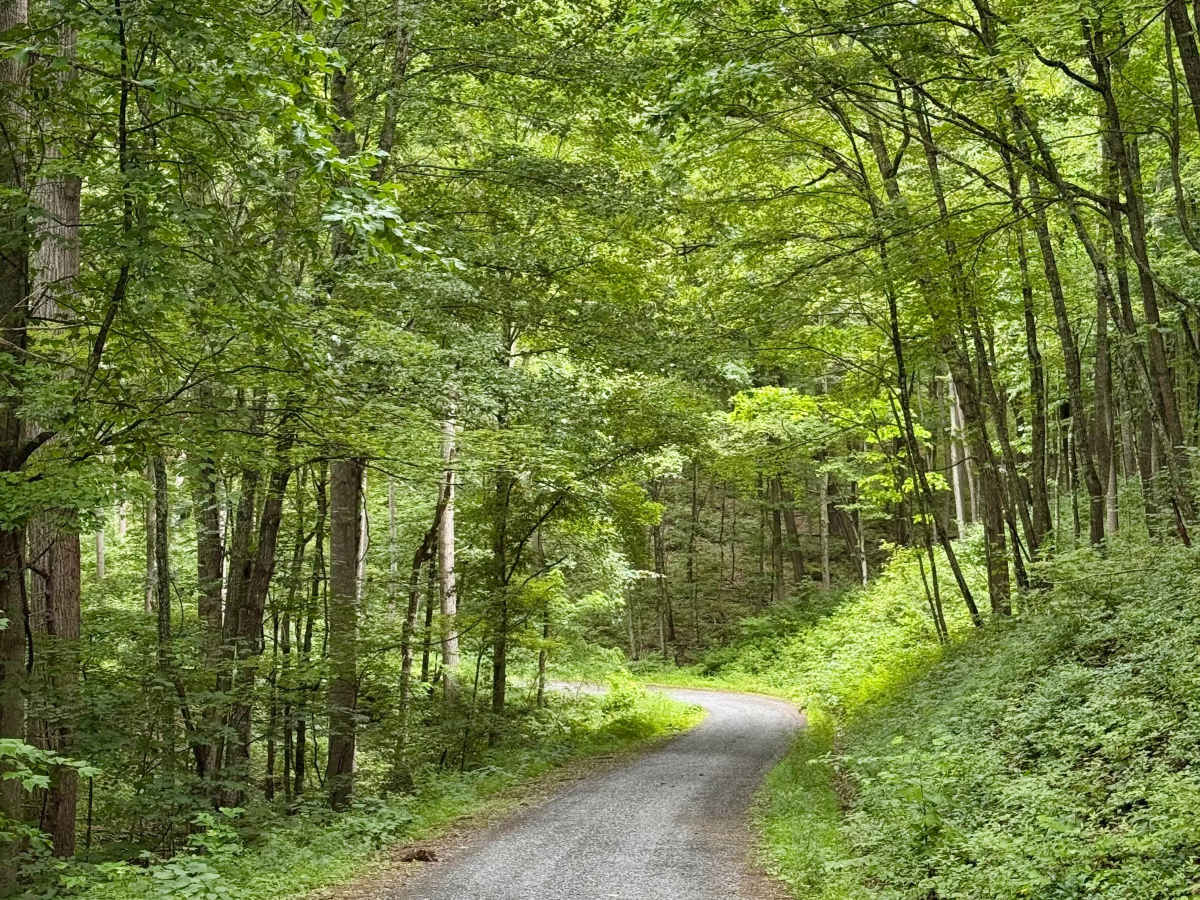
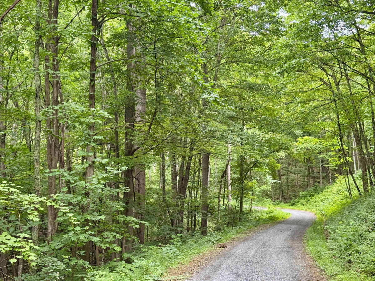
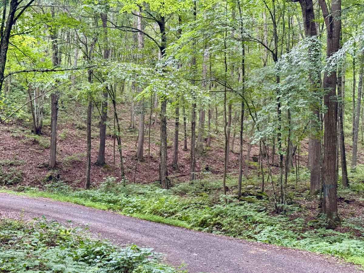
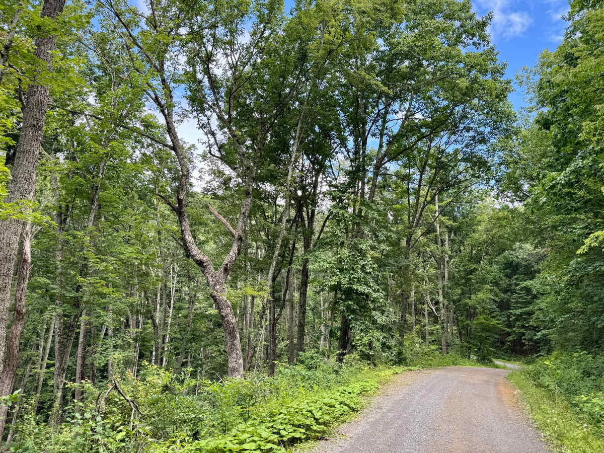
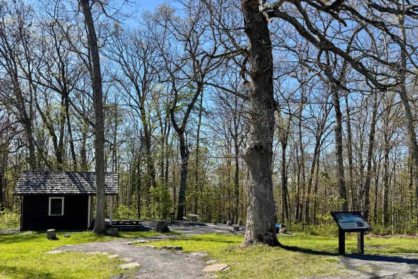
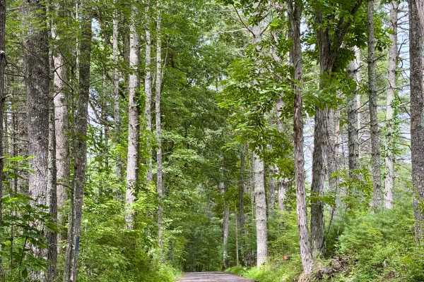
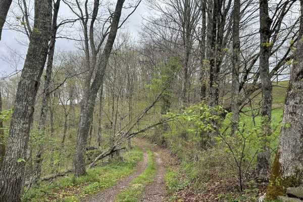
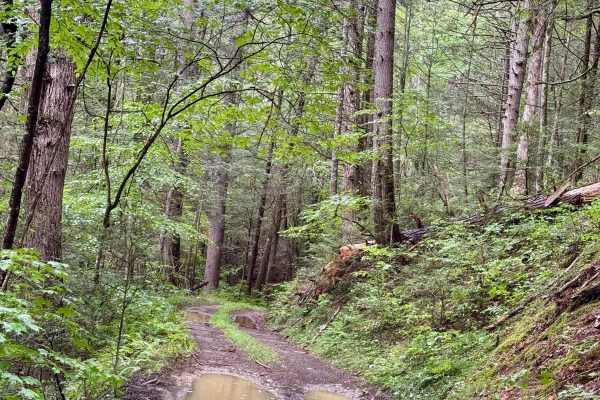
This is a forest road in the White Sulphur Ranger District of Monongahela National Forest that connects Anthony Road to County Route 11 east of Falling Spring, WV. It is one of the longer forest roads in this district and is a scenic and peaceful drive through the forested ridges and hollows north of the Big Draft Wilderness. There is a fair amount of elevation change along the way as it rises about 1800 feet and loses about 1500 over its length. The low point is near the Anthony Creek to the south, and the high point is around 2900 feet near the end. The forest varies from dense near the creek to sparser along the ridges to clearer areas near the high point and intersection with FSR 797. When the leaves are off the trees, some views are possible on the ridgeline. There is only 1 potential dispersed site along this Forest Service route. Look out for deer on this Forest Service road.