Trail Overview
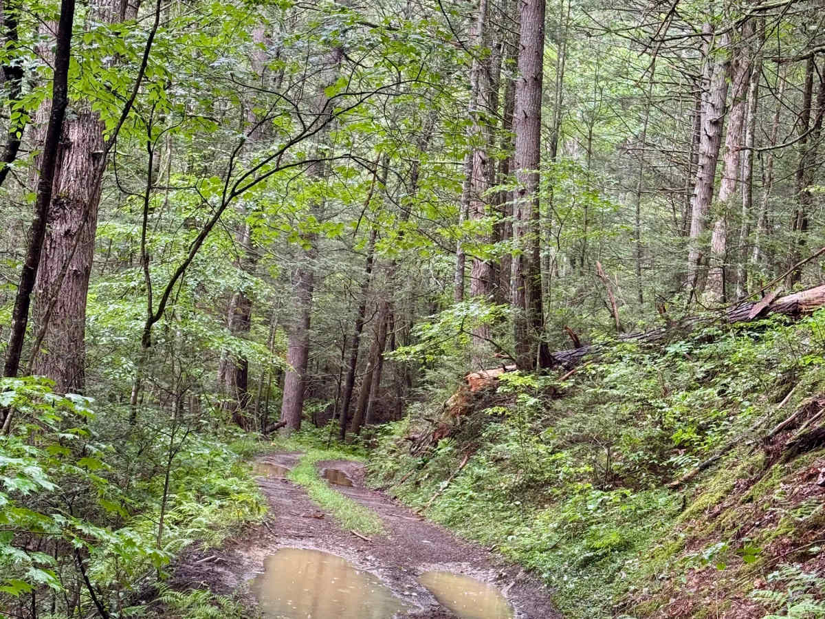
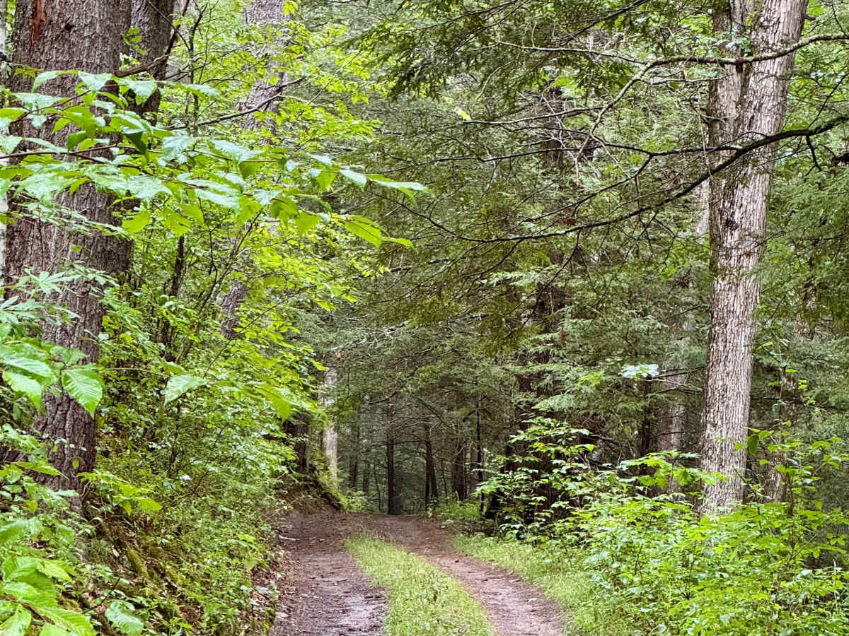
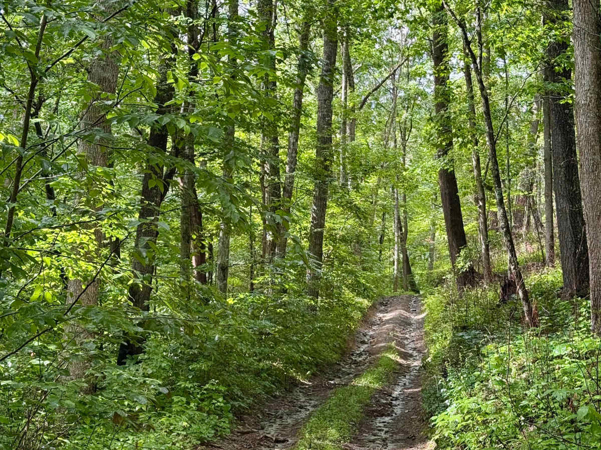
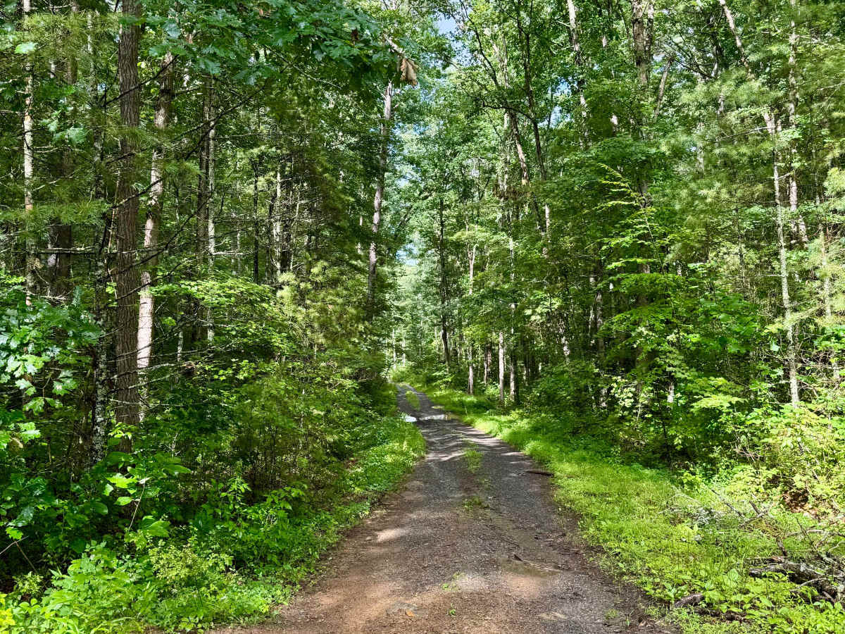
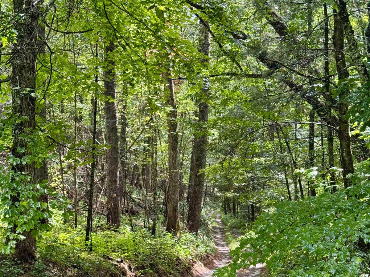
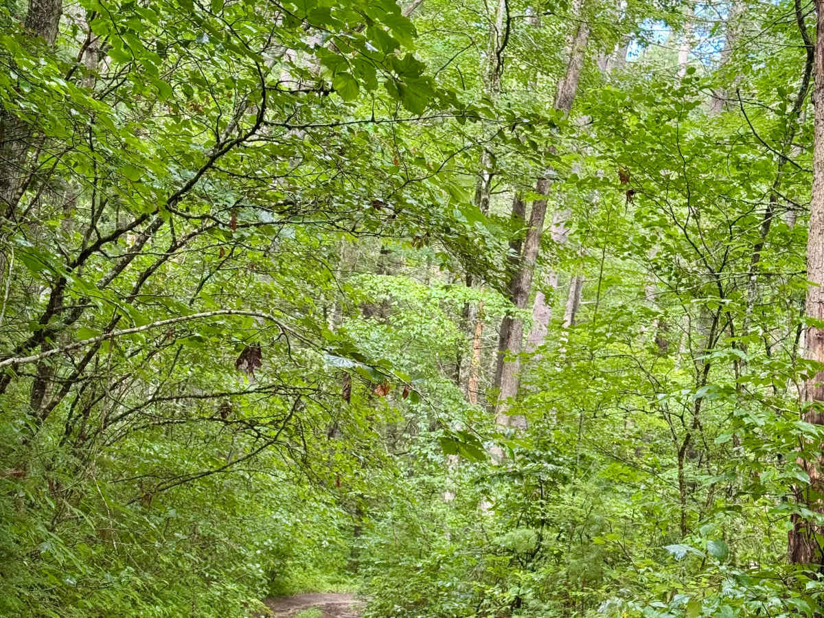
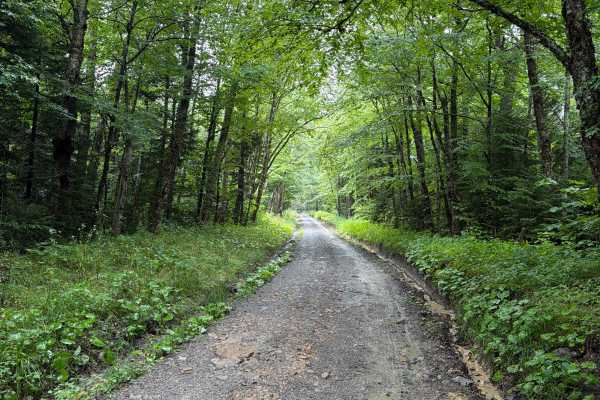
This county route runs along the border of the Spice Run Wilderness, through the Calvin Price State Forest and into Watoba State Park. It is dense, remote, peaceful forest. This is a narrow road with limited places to pass or turn around. You will want to air down for both traction and comfort on this road given the rough terrain, mud holes, and slick mud. This road is not recommended for solo passage or for large groups. A group of 3 will take more than 2 hours to complete the road if being careful and checking depth of water and selecting lines through the mud holes. Most of that time will be spent in the section that passes through the Calvin Price State Forest. The sections in the National Forest and State Park are relatively tame unless there is significant flooding in the area. An experienced solo driver can make the trip, but should be prepared to self-recover with a winch and have a way to clear any downed trees encountered. Bring waterproof and tall boots as the mud holes can be close to 2 feet deep. The bottoms are relatively solid if slippery. There appears to be a bailout at a parking/stating area on the border of the national and state forest at an intersection with a dirt road. A high-clearance 4x4 vehicle is recommended. A stock 4x4 with skid plates and a mild lift should be able to make the trip. Lockers may be useful at times. There is a single dirt ledge that is about 1.5-2 feet high that the wrong line on can cause a vehicle to get stuck on, requiring a winch or a gentle pull from a vehicle ahead. At the north end in the state park, be aware that the road follows the southern section of the Kennison Run hiking trail, so be on the lookout for hikers.
Difficulty
The route has uneven, rutted washes, mud hoes 18-24 inches deep, water crossings up to 18 inches, slick mud, and a dirt ledge 18-24 inches.