Trail Overview
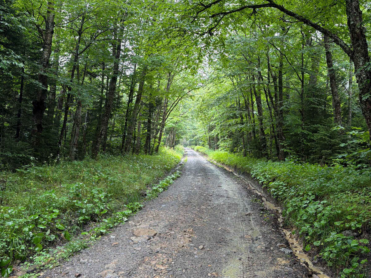
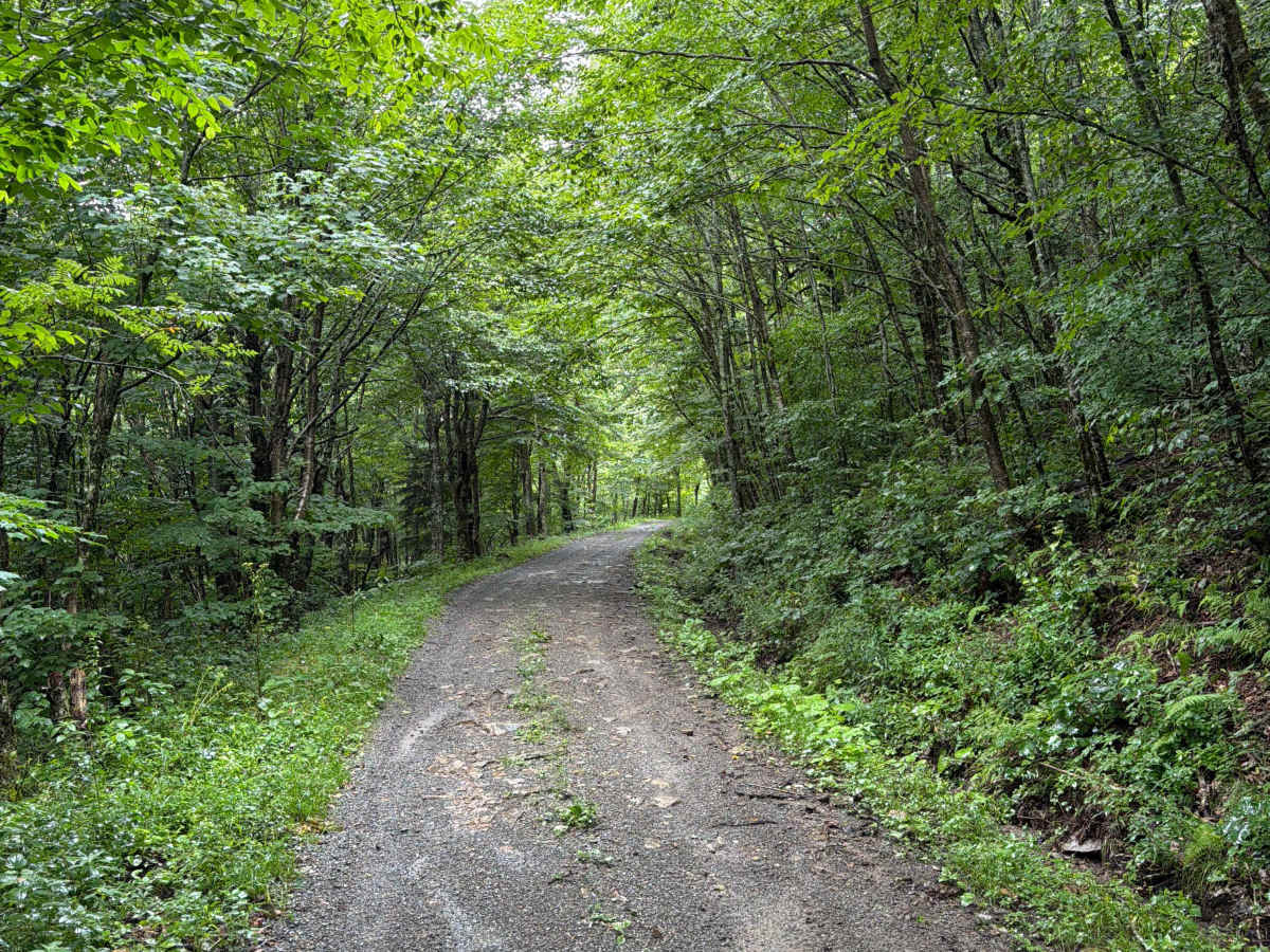
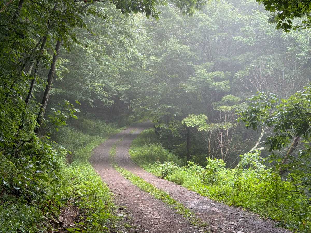
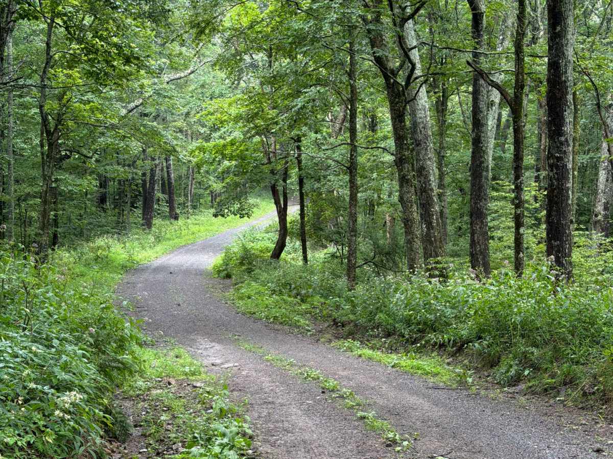
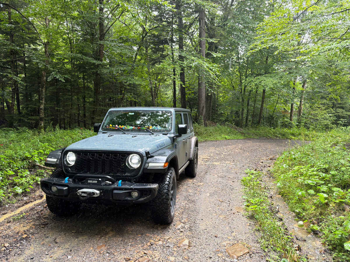
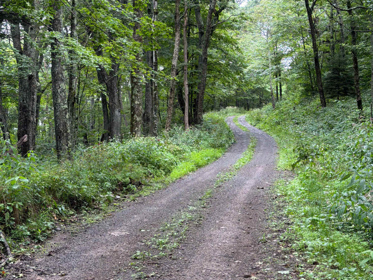
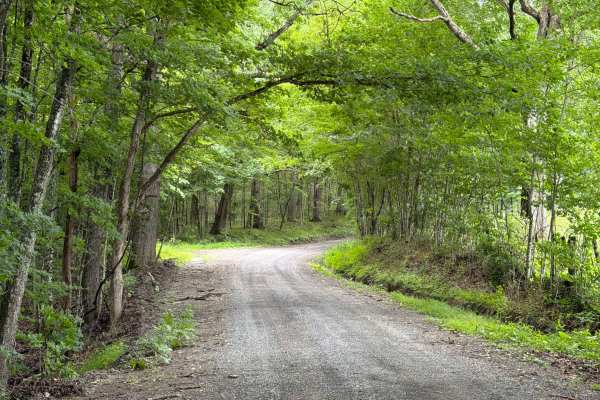
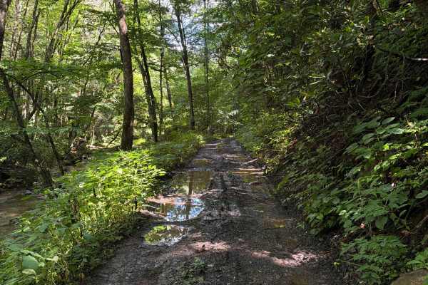
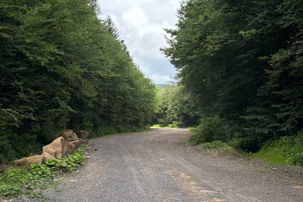
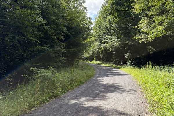
Briery Run Road, also known as FR 29, connects Bear Run Road at the west end and George Hill Road at the east end. It takes you along the south side of Briery Knob Mountain and gives you access to several hiking trails. The trail is a gravel forestry road with some soft sand spots that can turn into mud holes after heavy rain. The road is not always wide enough for two vehicles to pass. 4WD and High-Clearance are recommended, especially during Winter. All vehicles must be street legal. Please be aware that the cellphone reception is weak and the next gas station might be far. The Cranberry Wilderness spans 47,815 acres in Pocahontas and Webster Counties, West Virginia. It is the largest Forest Service Wilderness Area in the eastern United States, featuring broad mountains and deep valleys with elevations ranging from 2,400 to over 4,600 feet. The Wilderness encompasses the Middle Fork of the Williams River and the North Fork of the Cranberry River on the Allegheny Plateau.
Difficulty
This is an easy, but narrow, non-technical, trail unless after heavy rain or during winter.
History
The area is home to Appalachian hardwoods and red spruce at higher elevations. Wildlife includes black bears, white-tailed deer, wild turkeys, grouse, rabbits, mink, bobcats, and foxes. The streams are not stocked due to naturally acidic water, and frost can occur year-round.