Trail Overview
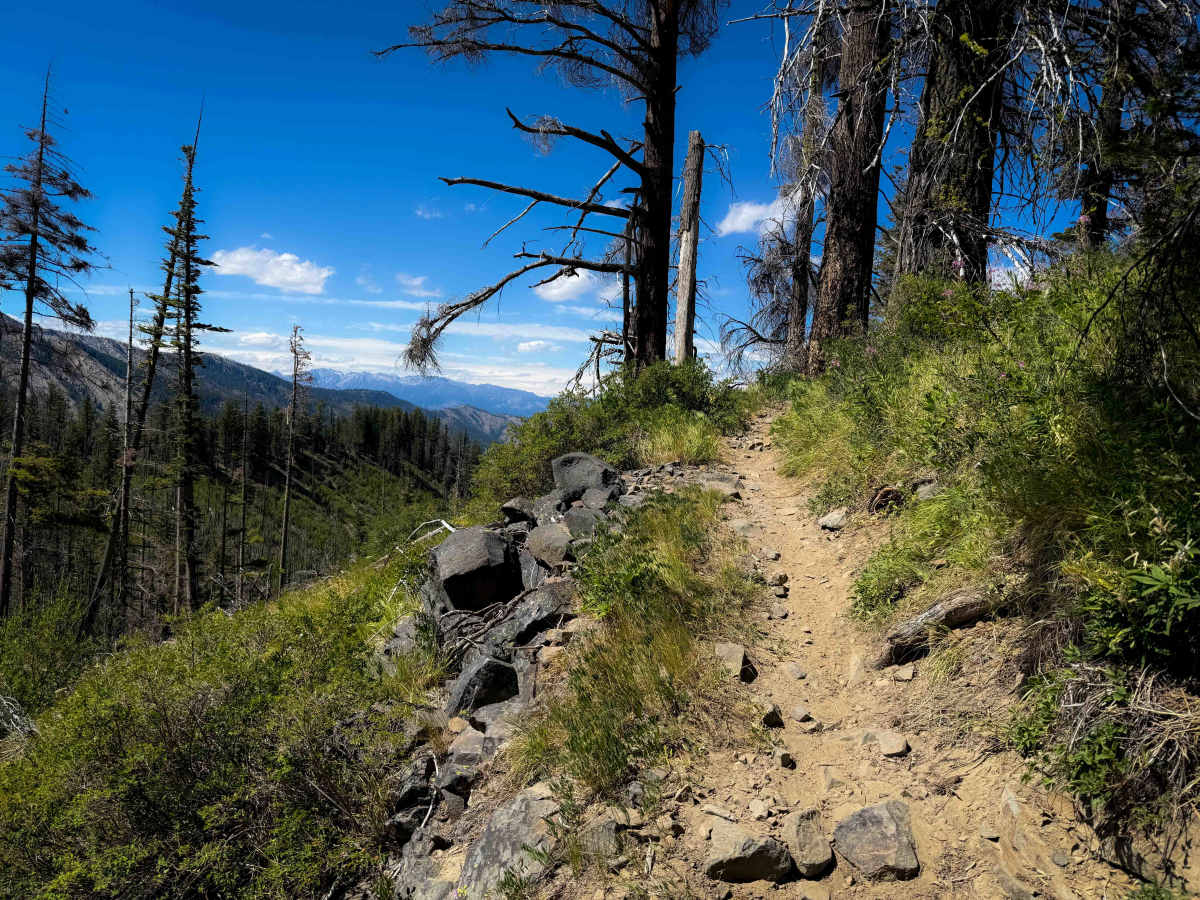
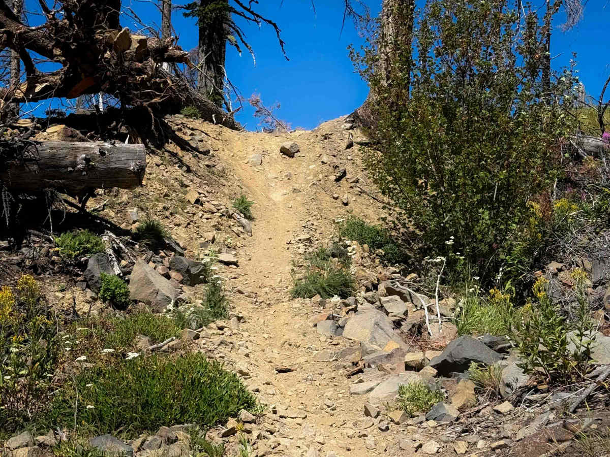
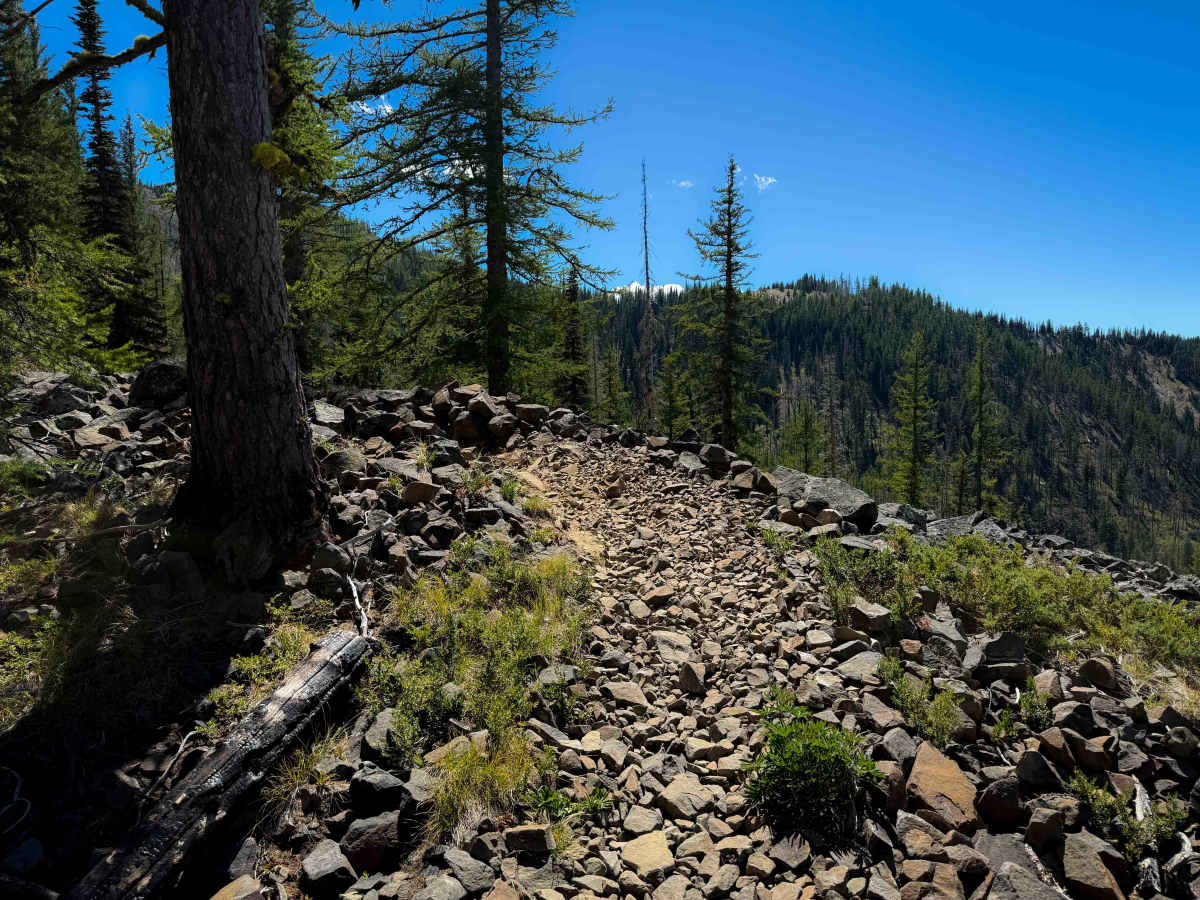
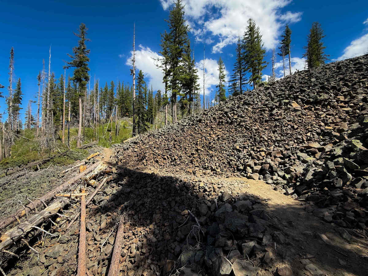
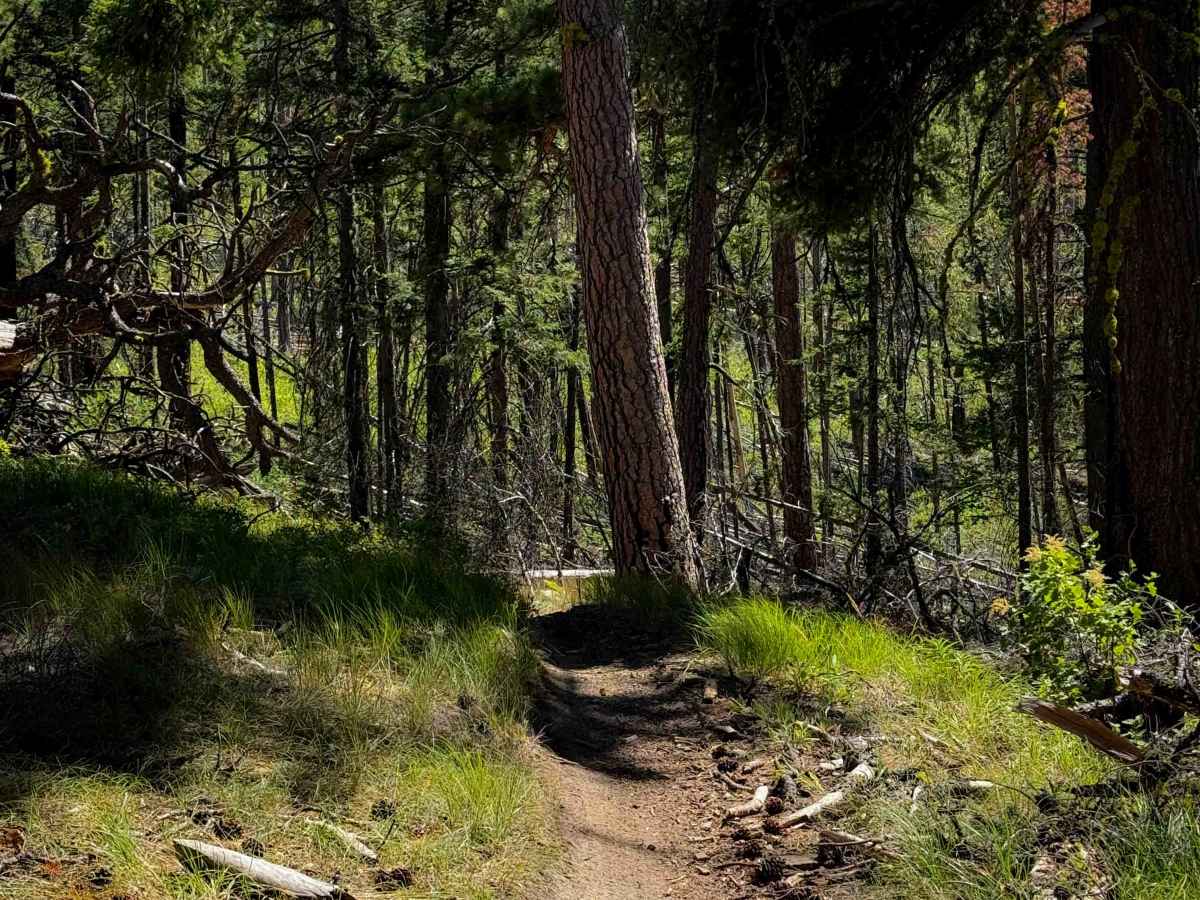
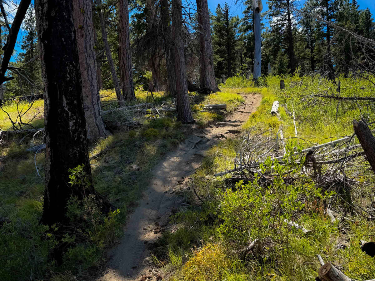
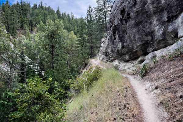
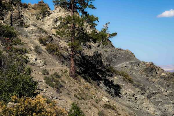
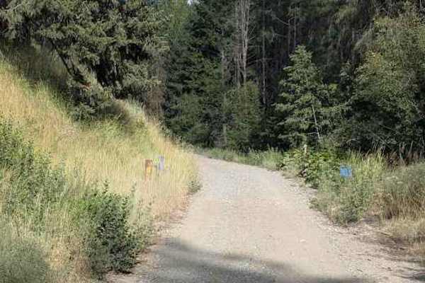
Upper Mission Ridge is 3.7 miles of intermediate single track through the Wenatchee National Forest. This is one of the rockier trails in the area, making it unique compared to Devils Gulch and Mission Ridge. The north half is similar to Mission Ridge, being a smooth and flowy trail with several sweeping and gradual switchbacks as it starts climbing up a hillside. The trail immediately goes through a burn area, where the bushes have become overgrown. As it goes south, the trail gets rockier. This segment of trail is much rockier than any of the other nearby trails. It makes very tight turns through a rocky hillside, constantly doubling back on itself, and maneuvering around an uprooted tree. It crosses a few small scree fields and makes short climbs up rocky slopes. A few sections are full of loose rocks in the trail of various sizes. In general, the trail is a gradual climb from north to south as it climbs up to NF Road 9712. After lots of tight zig zagging, it ends at a small parking area on 9712 that is a wide shoulder of the road.
Difficulty
This is an intermediate route due to constant tight maneuvers over rocky terrain. The trail has frequent tight turns, lots of embedded and loose rock, and short climbs up moderate rock obstacles. There are narrow segments with moderate exposure as well. This is one of the rockier trails in the area.

 Offroad