Trail Overview
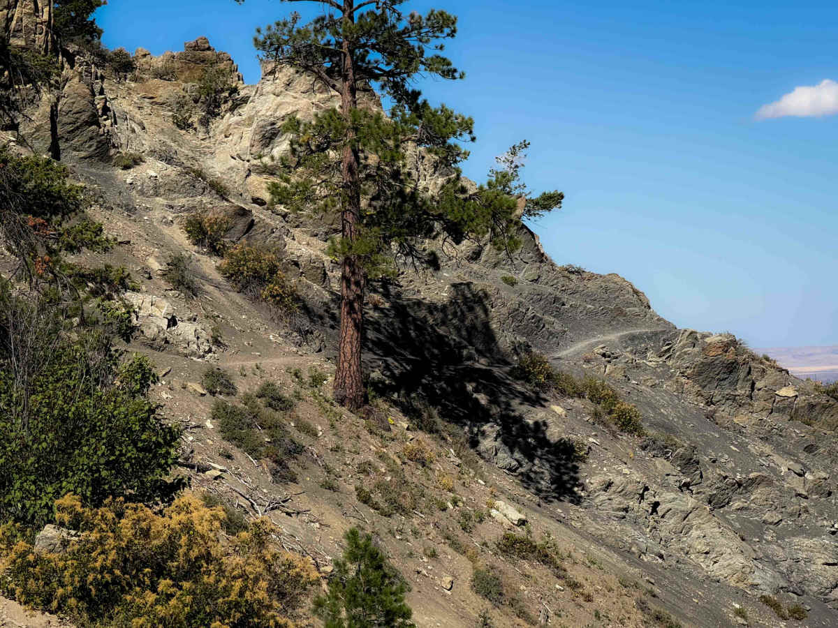
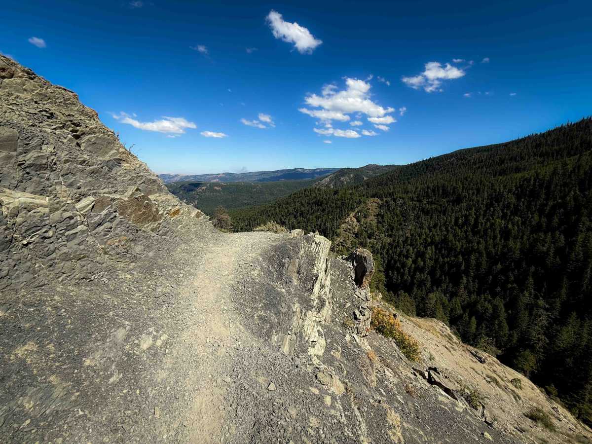
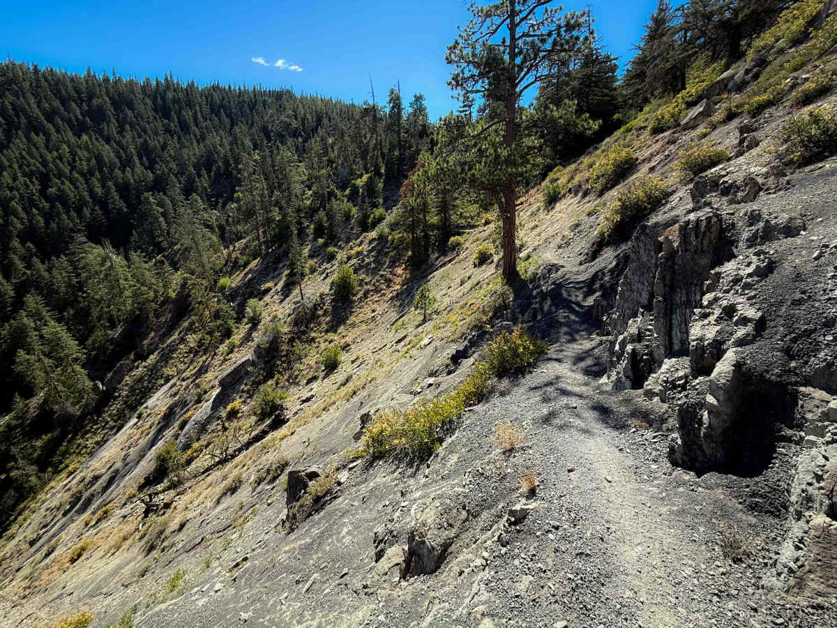
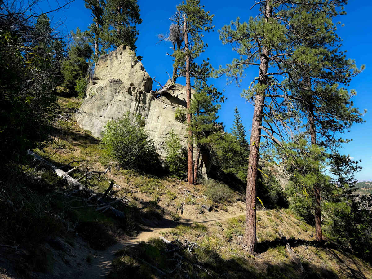
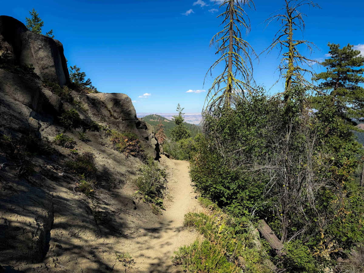
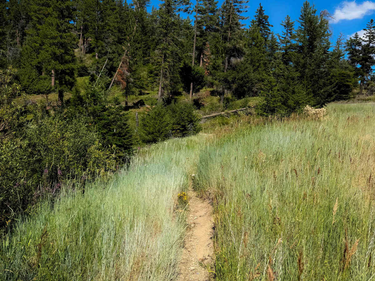
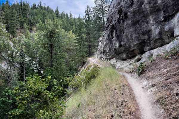
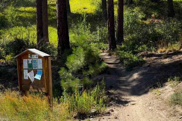
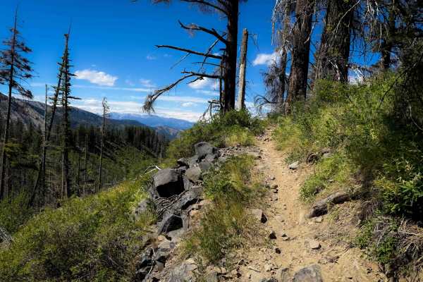
The south end of Devil’s Spur starts at a paved parking area on Mission Ridge Road. The trail begins as a forest road with a bit of embedded and loose rock. It narrows into more of a singletrack after about a mile, and it becomes less rocky as it starts side-hilling along the hillside next to big ponderosa pines. Go past a couple really scenic rock outcroppings, with some rock walls lining the trail. Around the 2-mile mark, it gets narrow and exposed, as it cuts across a sloughed-off slope of fine gravel and dirt. There’s a short section of higher consequence terrain with severe exposure, and a rock wall lining the trail, as it tightly rounds a sharp blind corner where the hillside juts out to a point. It’s a scenic, unique spot that's very exposed, and not ideal for inexperienced riders. The trail continues to meander through the forest until it crosses Forest Road 9712. The final segment is an easy and flowy segment before ending at the Upper Devils Gulch off-road vehicle trailhead. You will likely see hikers on this trail, as it is very near town.
Difficulty
This is an intermediate trail mostly due to one narrow side-hilling segment of significant exposure where the trail rounds a corner through high consequence terrain. The trail itself is very easy, with flowy smooth dirt. There’s a bit of embedded and loose rock in the southern portion when the trail is wide like a road.

 Offroad