Trail Overview
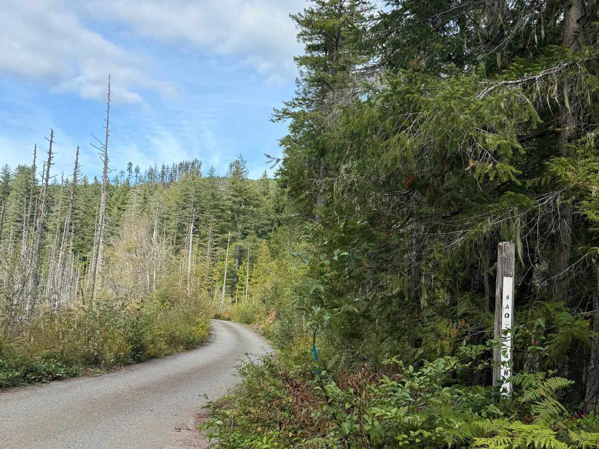
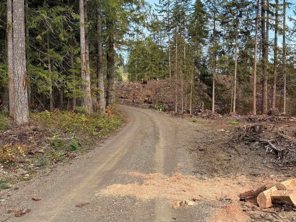
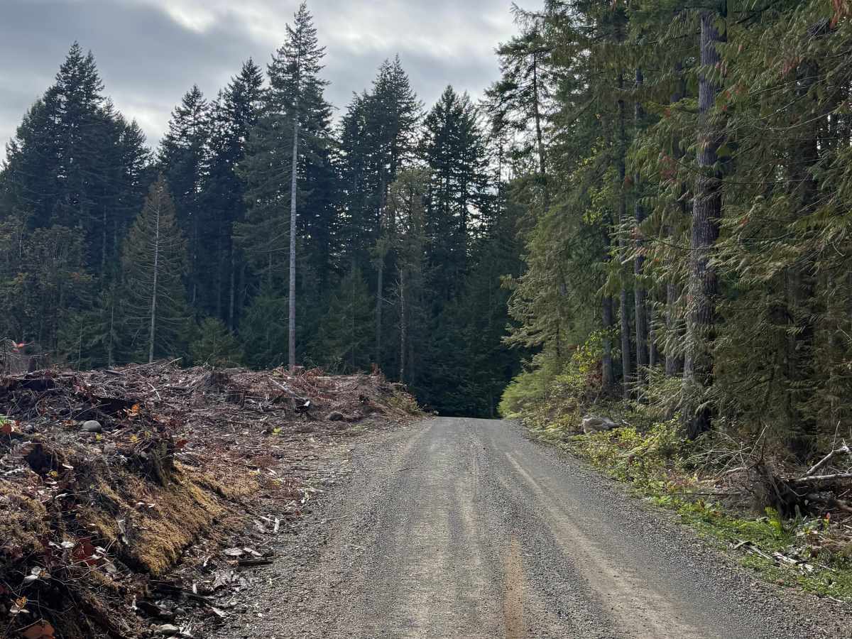
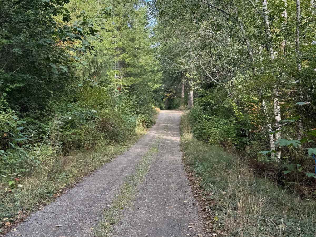
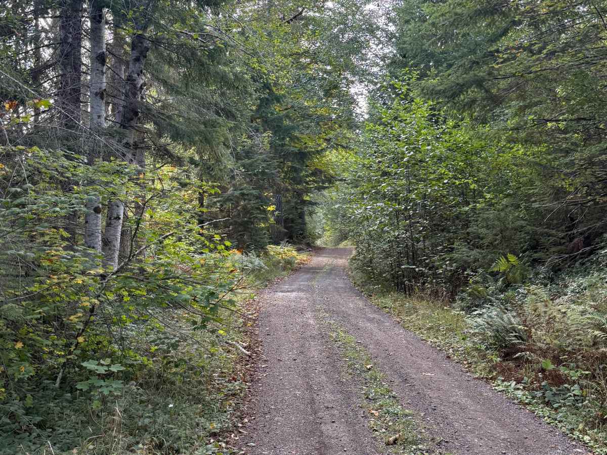
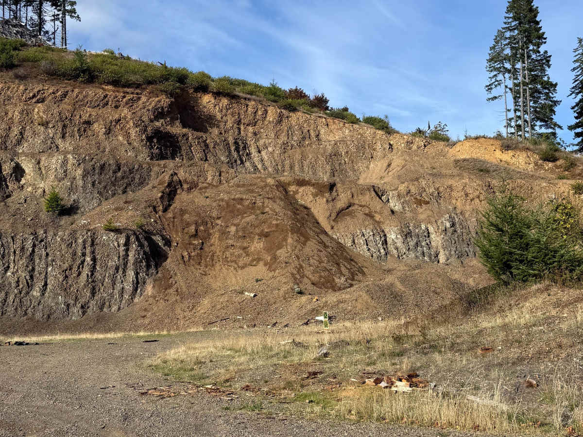
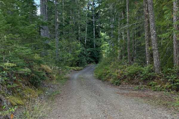
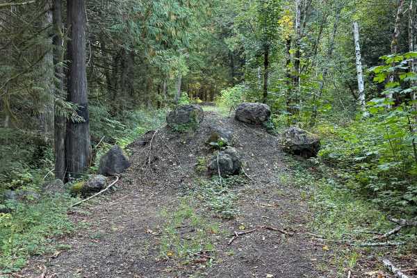
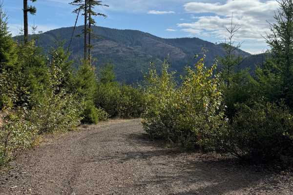
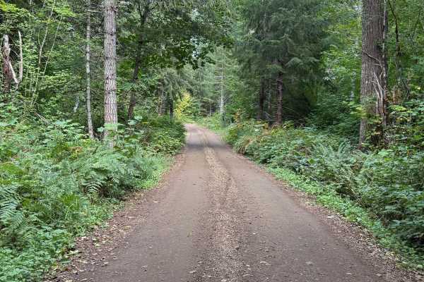
Saddle Mountain Road is an easy, approximately 4.8-mile hardpack route on Washington DNR-managed land. The road is open to street-legal vehicles, including plated motorcycles. The roadway is approximately 60 inches wide and single-vehicle width, with a winding route through dense forest. Vegetation is generally manageable, although branches reach into the roadway in a few places. There are no significant technical obstacles along the route. About halfway through is an area that is used for recreational shooting, so riders should remain aware of other users. The road takes roughly 12–13 minutes to travel at a moderate pace and eventually dead-ends at a small turnaround surrounded by trees, requiring travelers to return the way they came.
Difficulty
Firm hardpack with no significant rocks, ruts, ledges, steep climbs, or water crossings. The narrow roadway and occasional encroaching branches are the primary considerations.